
Al-Boom Wreck (Bahrain)
Part of the regional summary: Bahrain
More info
Bahrain (NOAA CRW virtual station)Al-Boom is an upright wreck off northern Bahrain, described as a wooden trading dhow at about 20 m, its railings and frames furred with hydroids and sponges and wrapped in schools of yellow snappers. It is wreck habitat, and a blind Claude computer-vision point count found no hard coral.
البوم حطام سفينة منتصب قبالة شمال البحرين، يوصف بأنه مركب داو تجاري خشبي على عمق نحو 20 m، تكسو حواجزه وهياكله الهيدرويدات والإسفنج وتحيط به أسراب من أسماك النهاش الصفراء. إنه موئل حطام، ولم يجد عدّ نقاط أعمى بالرؤية الحاسوبية لـClaude أي مرجان صلب.
ترجمة هذا الملخص بالذكاء الاصطناعي؛ النص الإنجليزي هو المعتمد.
These are unedited originals; edited versions will replace them.
17 of the 24 photographs on this page are shown beside the text that discusses them under "Site description" below.
Site description
Setting
Al-Boom is a wreck off northern Bahrain that we dived on the morning of 23 August 2024, on the way out to Hayr Bul Thamah. Named 'Japanese wreck' in Anderson's photo folder; identified as Al-Boom from the operator's itinerary. Approximate position: about halfway between Amwaj Marina and Hayr Bul Thamah; no GPS fix was logged. Published dive-site descriptions (Scuba Master) describe it as a wooden trading dhow that sank upright carrying toilets, ceramics, and bags of cement, lying at about 20 m and visited by schools of fish; the name likely refers to the boom, a type of Gulf dhow.
General benthic features
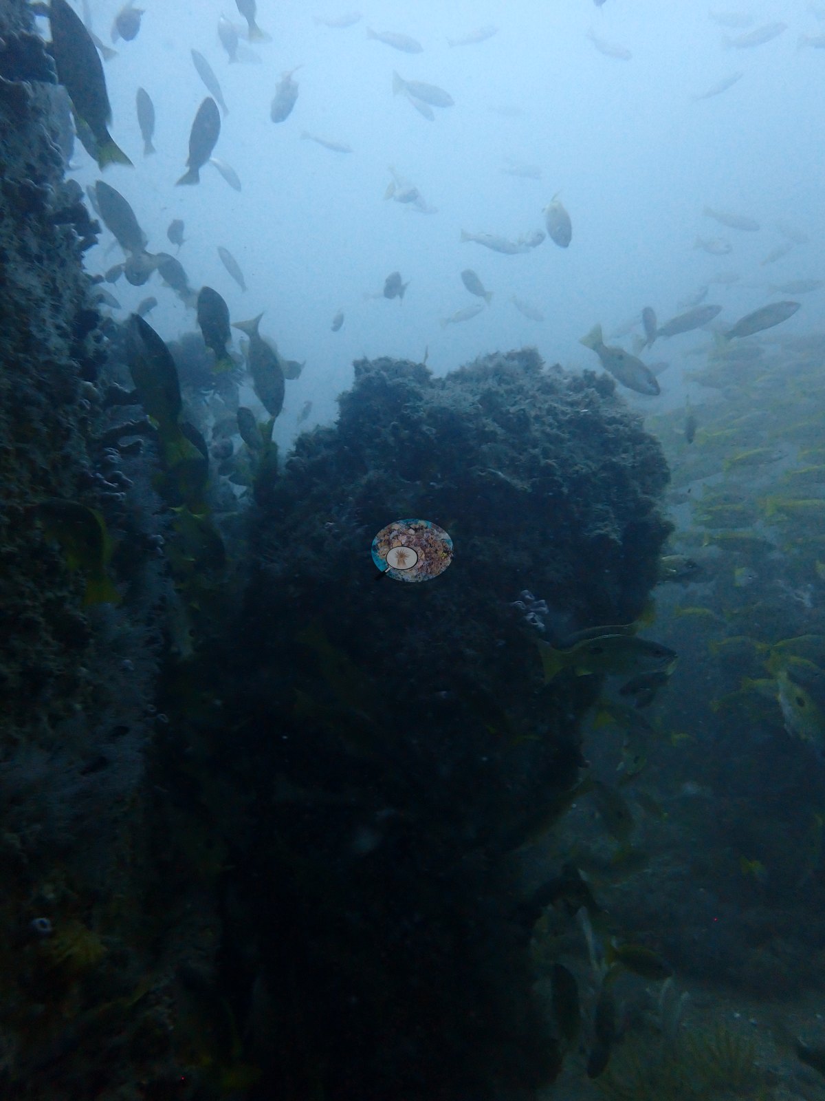
The wreck stands upright, its hull sides rising steeply out of the haze (e.g., Image 7, Image 9).
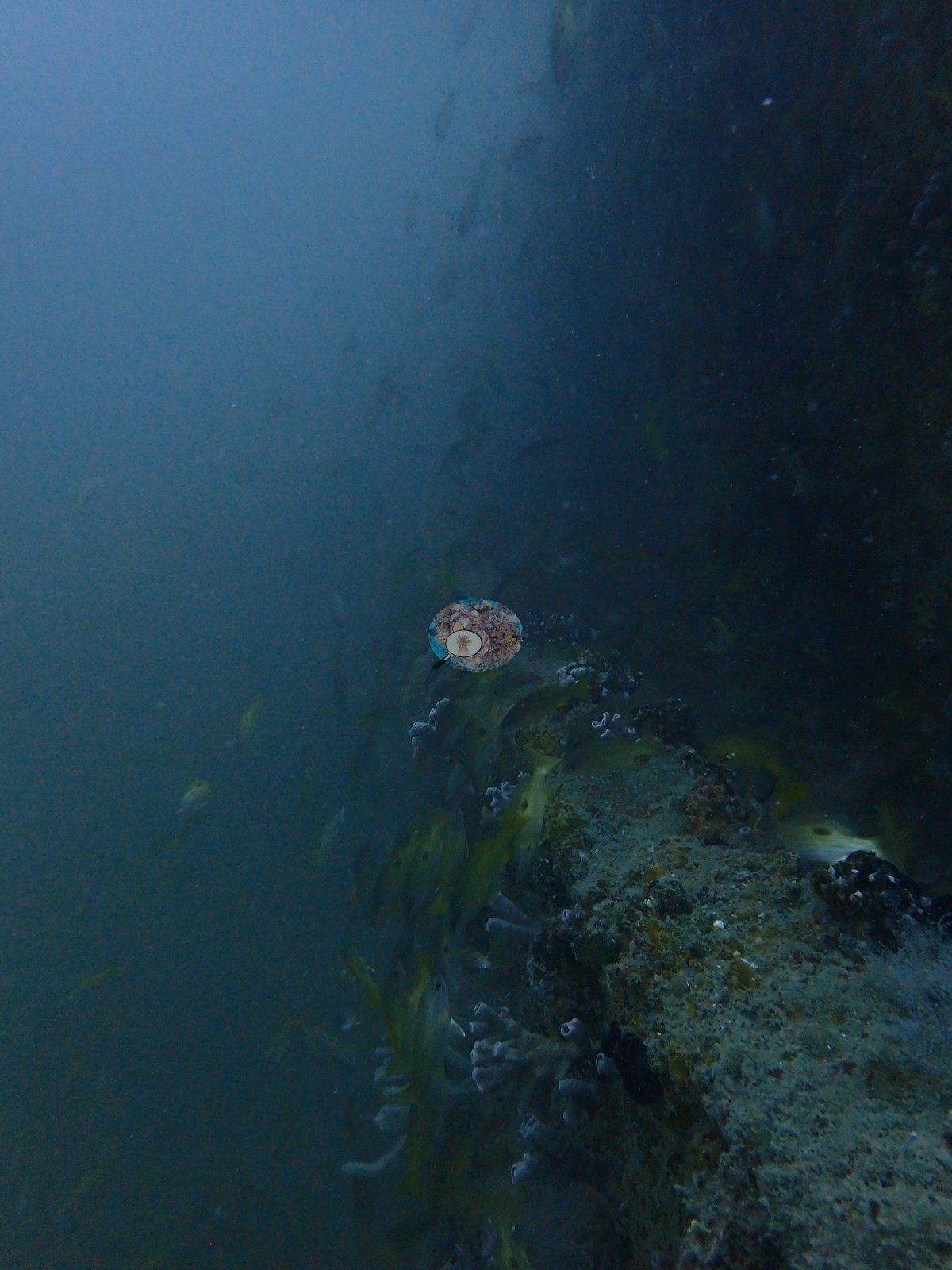
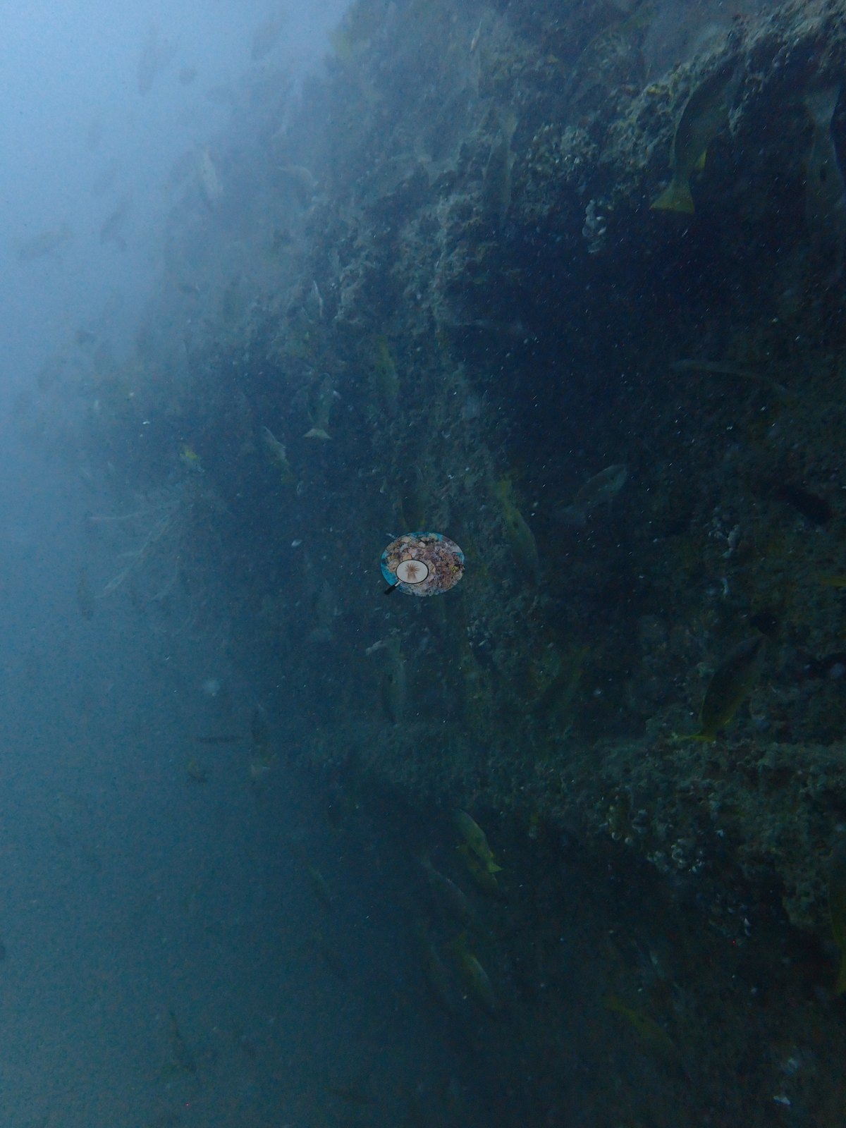
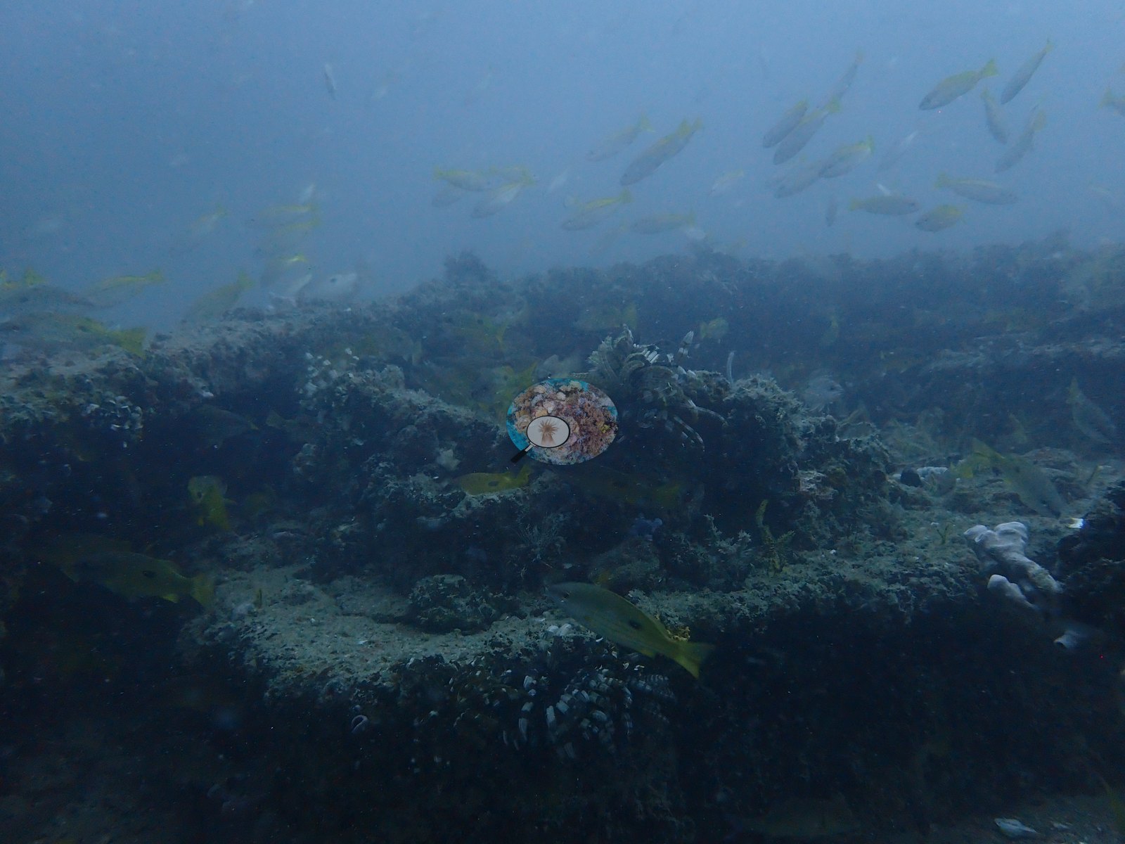
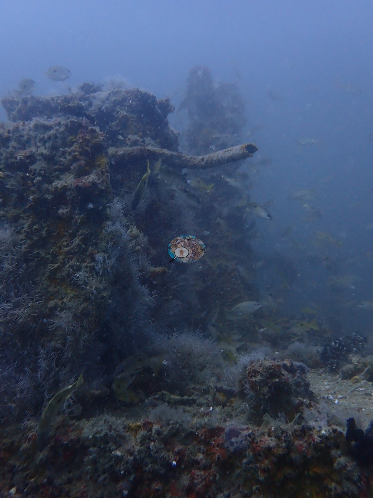
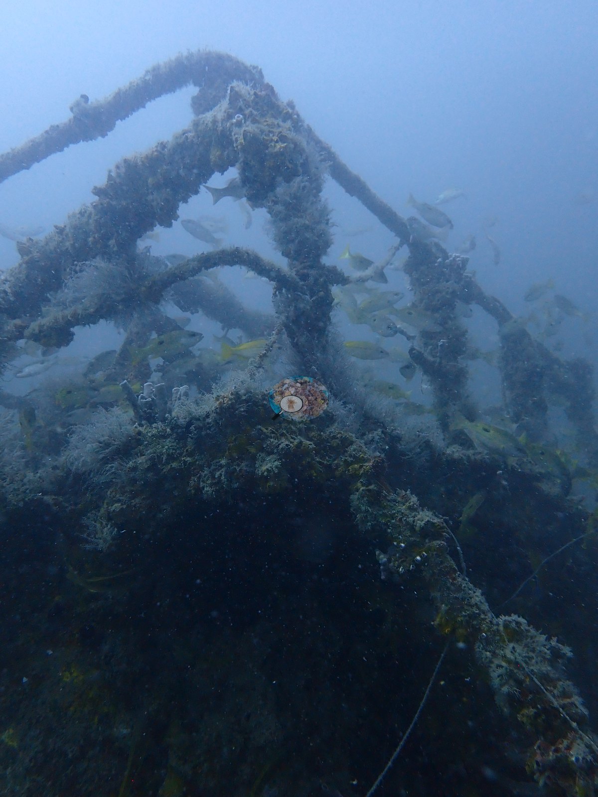
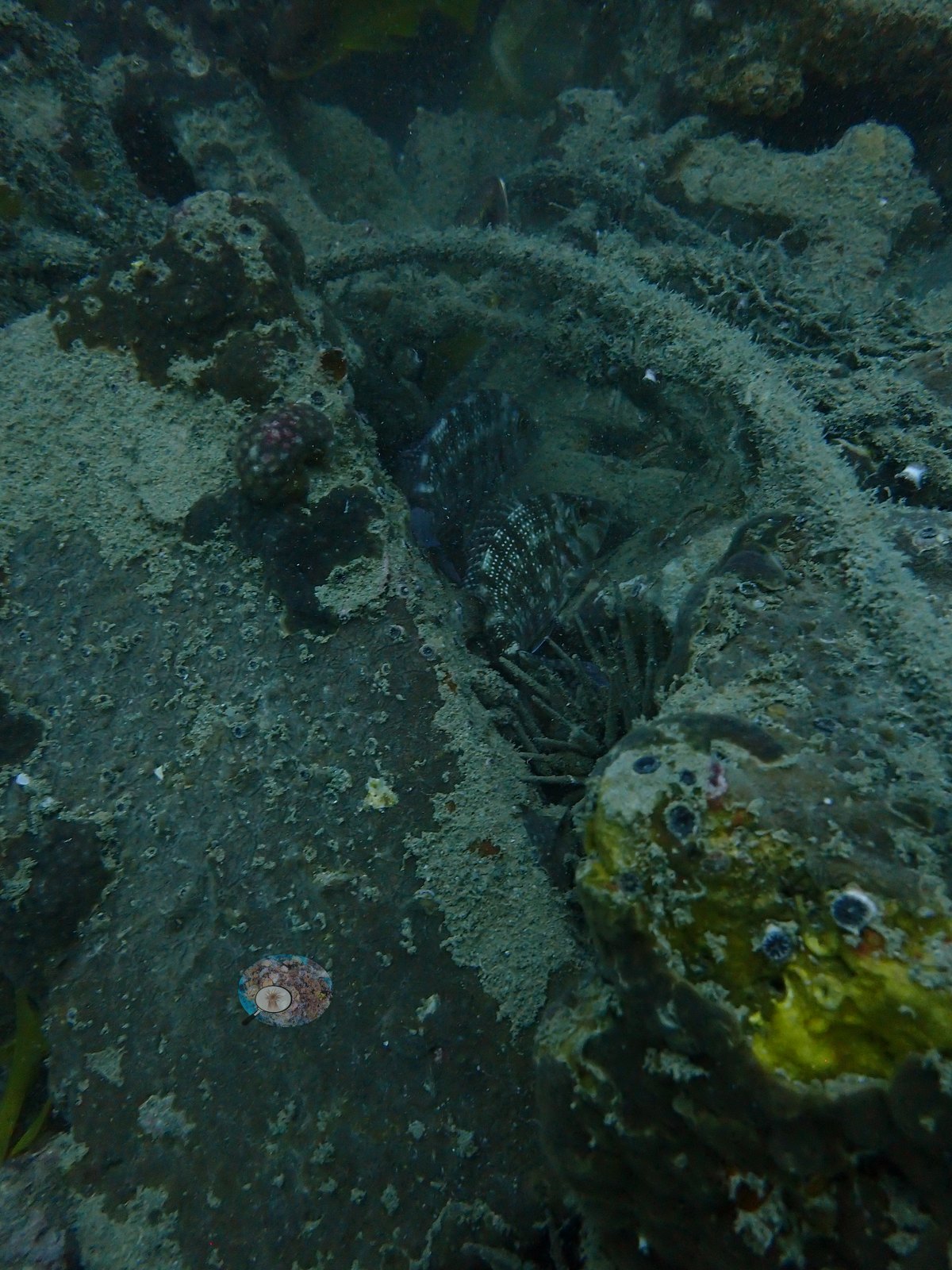
Every surface is fouled, with a furred coat of hydroids, algal tufts, and sponges, including white tube sponges and red and yellow encrusting sponges on the upper structure (e.g., Image 16, Image 19, Image 24).
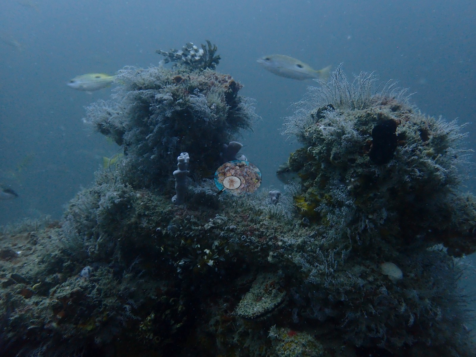
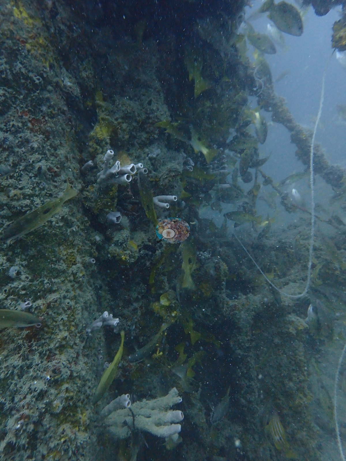
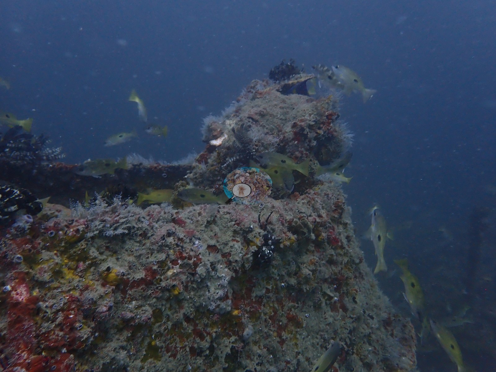
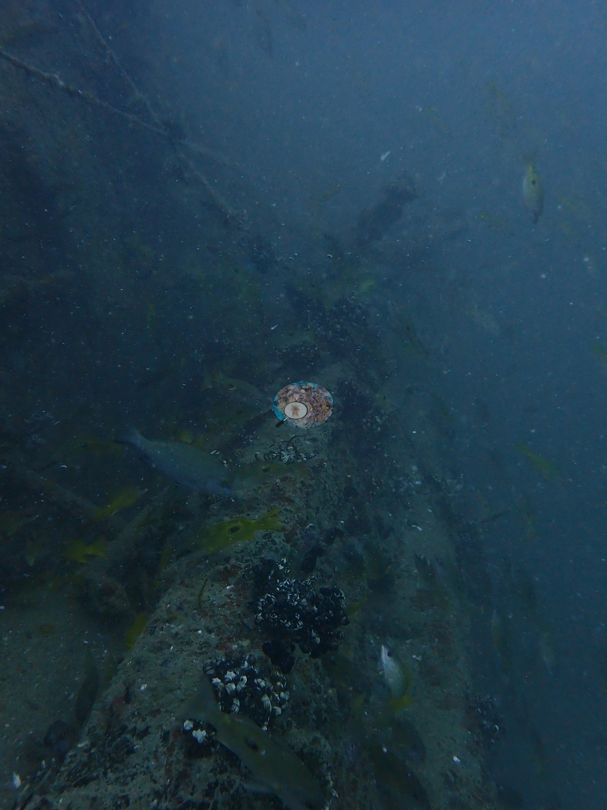
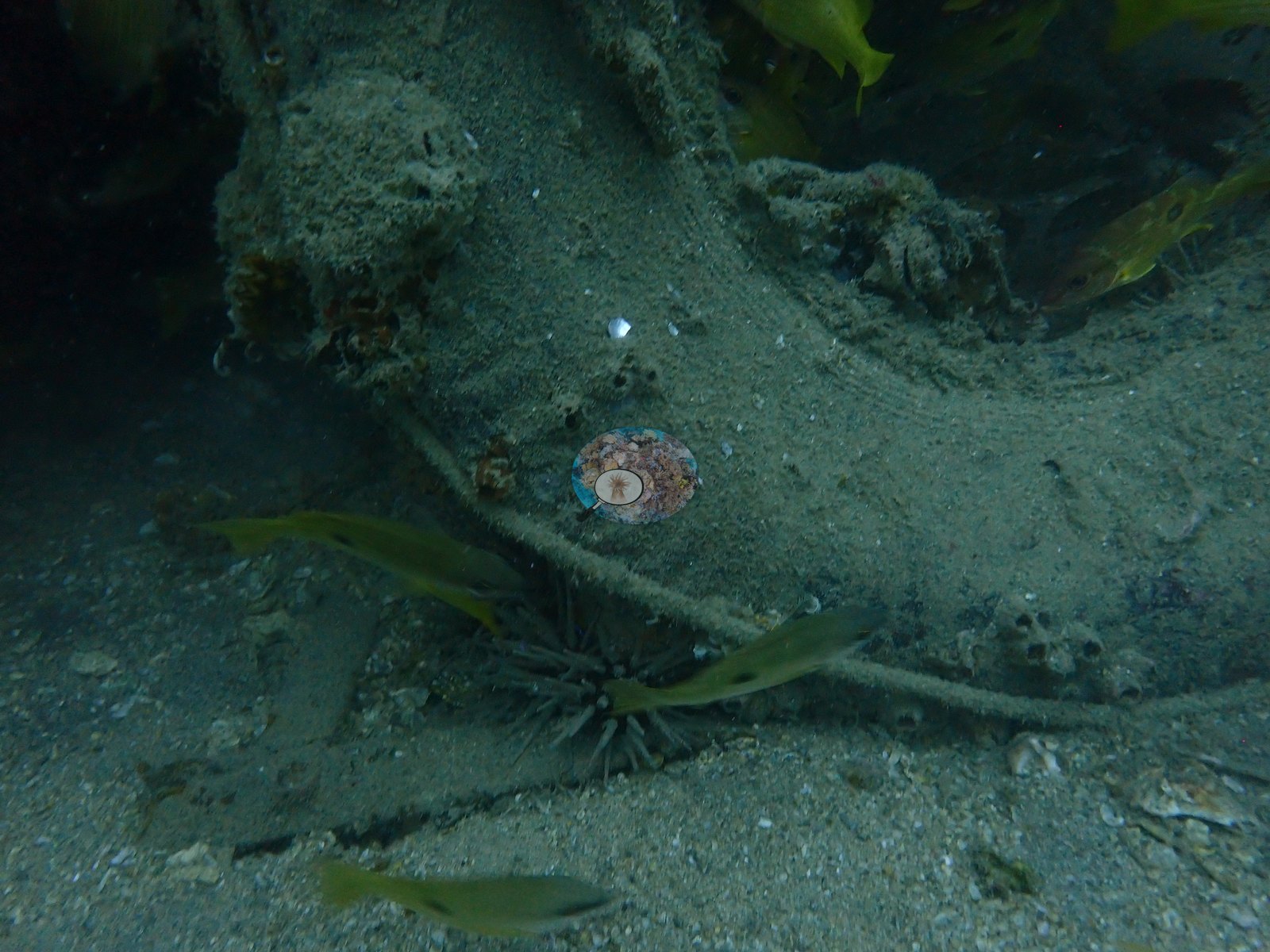
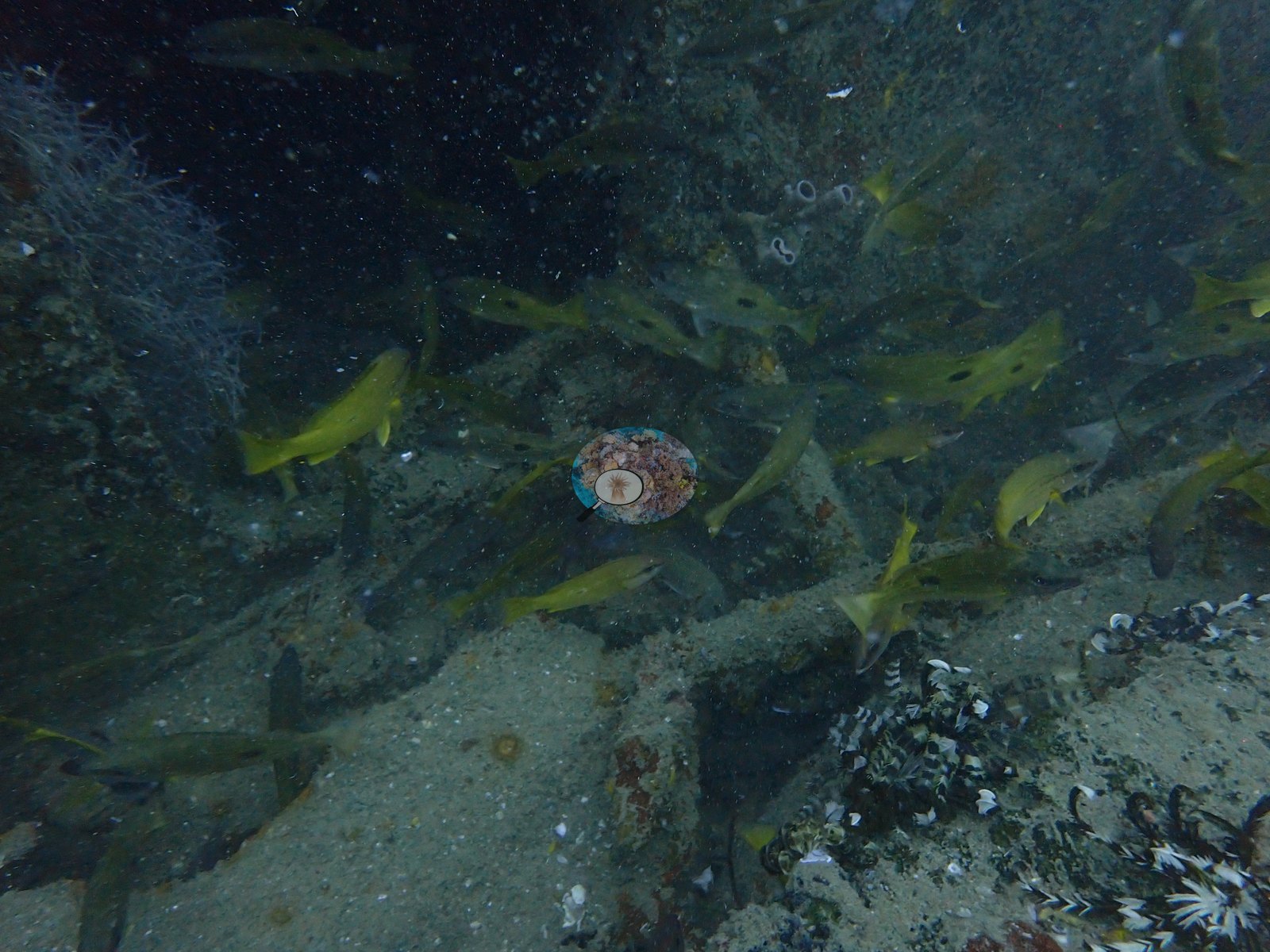
Deck railings and an upright frame of beams stand clear of the deck (e.g., Image 1, Image 2, Image 21), and cables and rope run across the structure (e.g., Image 12, Image 19).
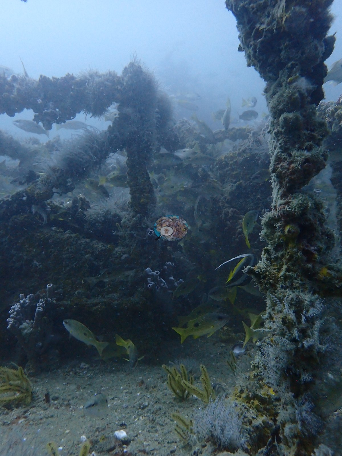
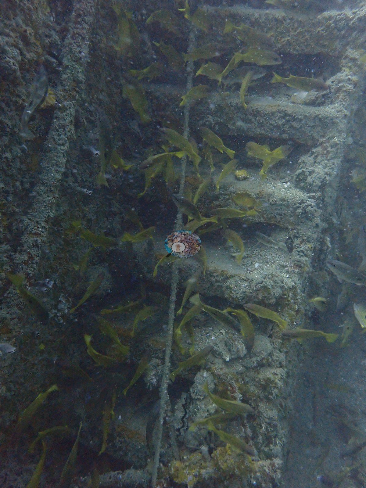
A curved, silted object on the deck may be part of the cargo (e.g., Image 3), and a ladder-like frame runs up one side (e.g., Image 22).
Coral cover
- Reference: Claude CV point count (this site's photos)
- Coral cover: 0.0% — a blind Claude computer-vision point count of 31 of Anderson's unedited photographs (20 points per photo; water, fish, and obstructions excluded).
- None of the scored points fell on hard coral.
- This is wreck habitat, so the value is not comparable with reef cover, although it is counted in the Bahrain regional mean like every other site.
Stressors
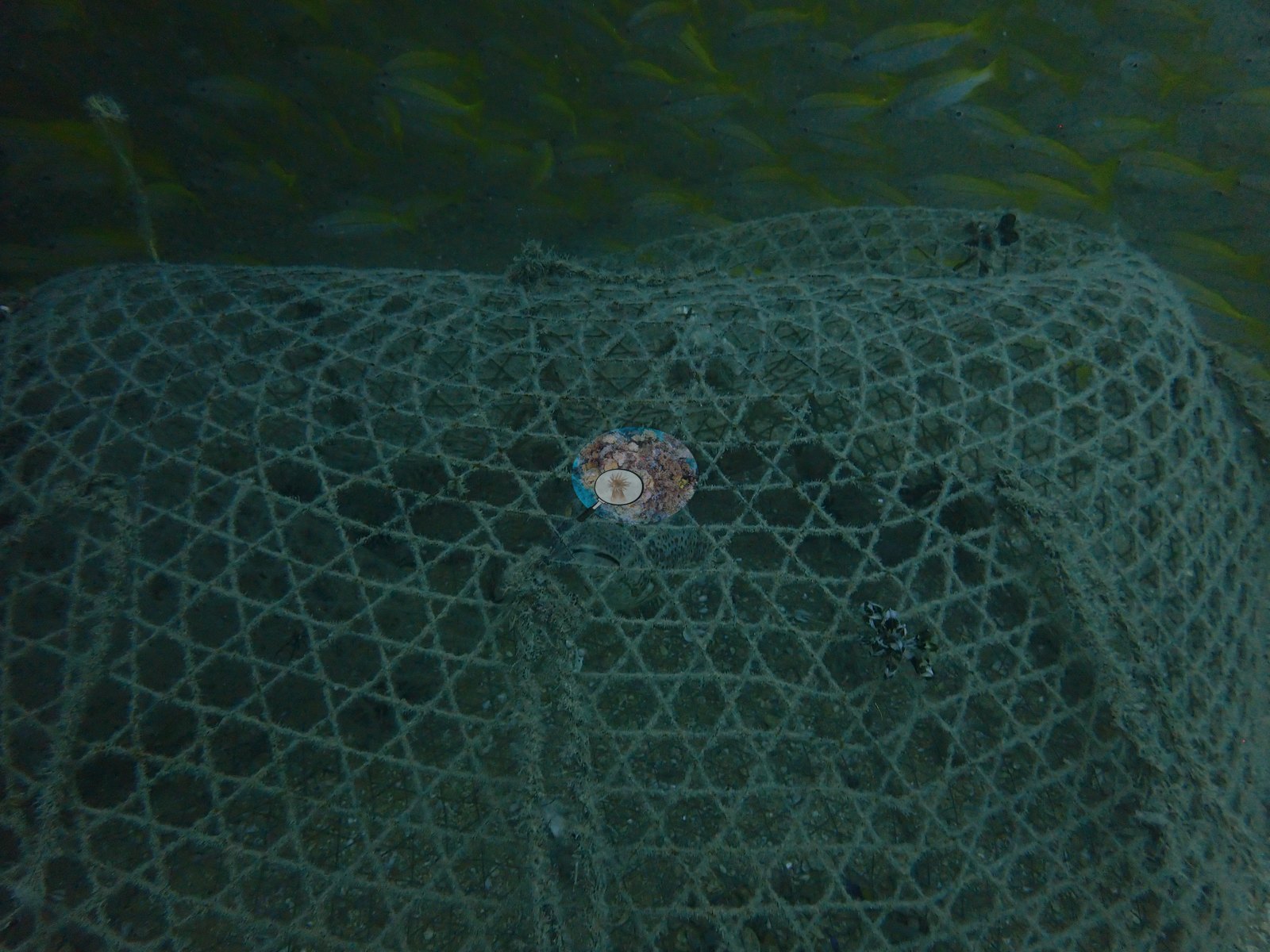
A wire fish trap rests on the wreck with fish inside it (e.g., Image 4).
Visibility was low throughout the dive (e.g., Image 7, Image 15).
No crown-of-thorns starfish (COTS) or other corallivores were evident.
Fish and other fauna
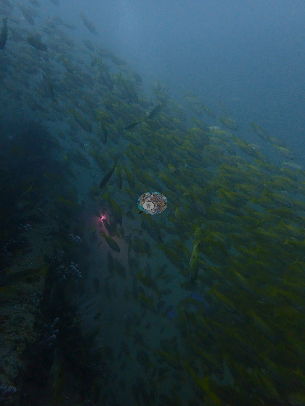
Dense schools of yellow snappers fill much of the water around the wreck and shelter under its ledges (e.g., Image 5, Image 6, Image 11).
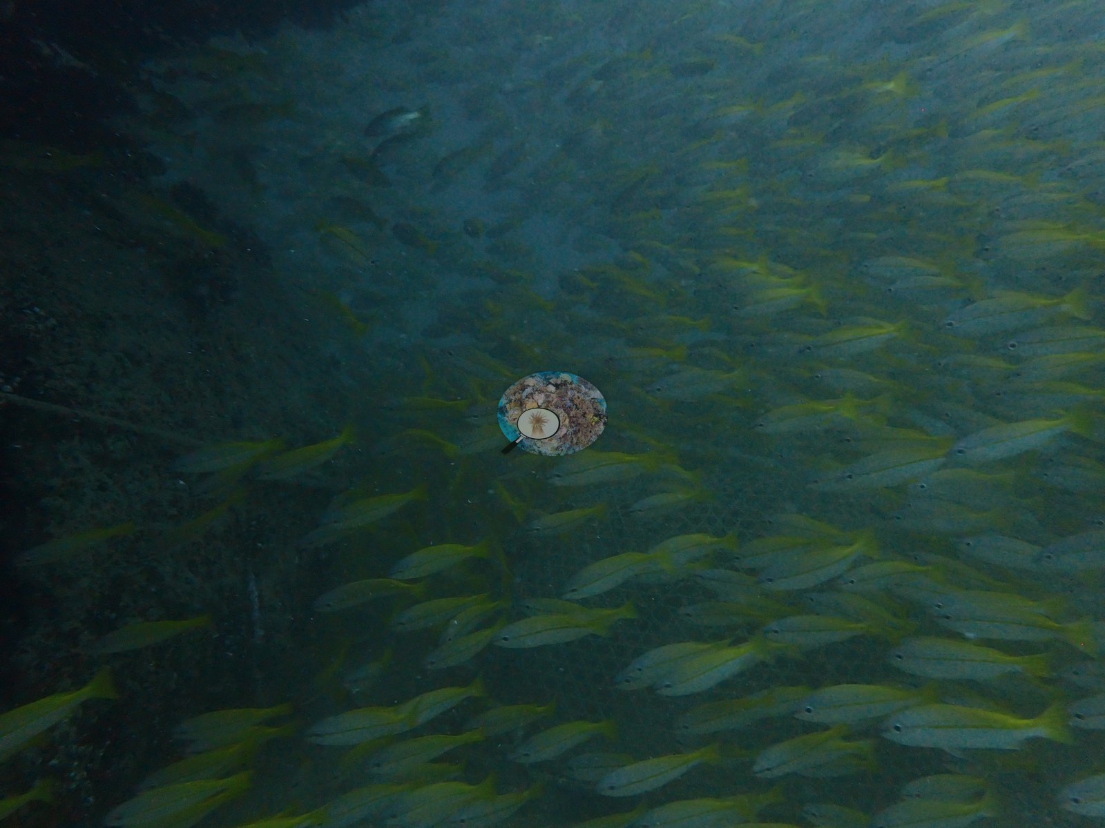
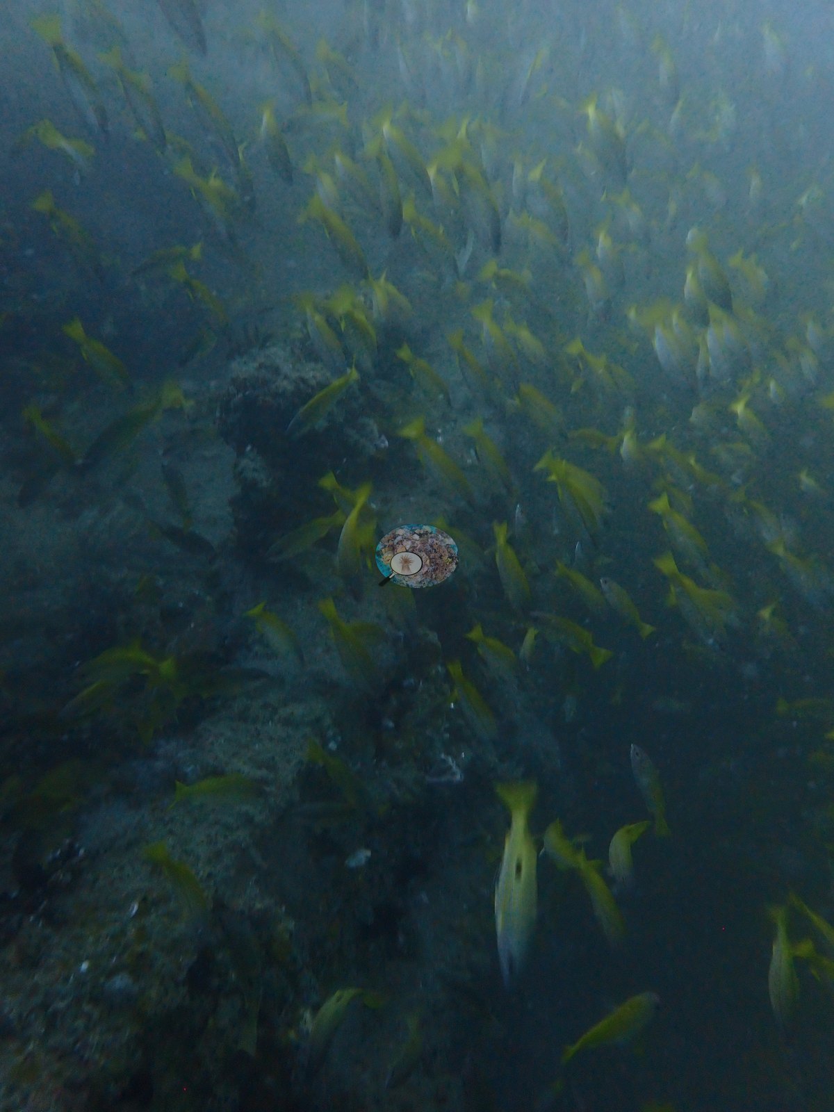
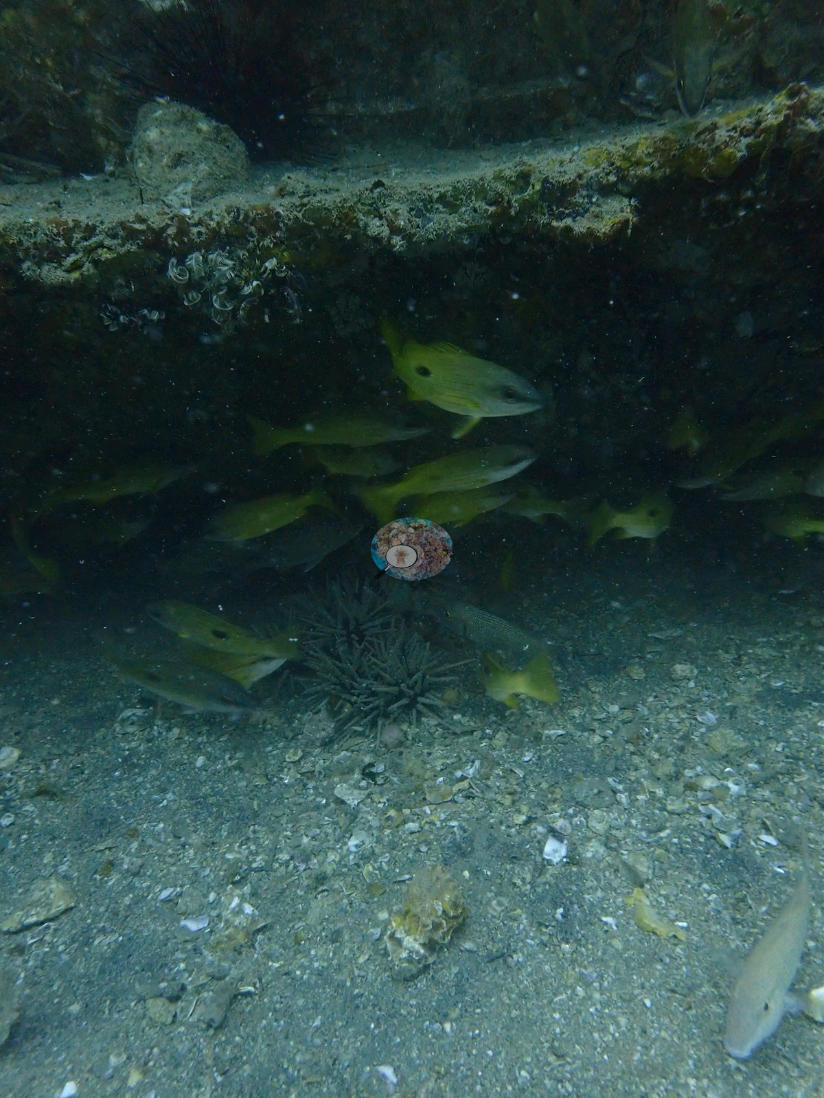
Long-spined sea urchins sit at the base of the structure (e.g., Image 3), feather stars cling to the deck edges (e.g., Image 18), and a fish that appears to be a lionfish sits among the cables (e.g., Image 12).
Comparisons with other data
We found no other surveys at this site as of 2026. If you would like to share yours, please email us.
Dive record
Dived with Sea Addicts, departing Amwaj Marina; the operator gives the ride to Al-Boom as about 45 to 60 minutes. There is no logbook entry for this dive: a marina photograph was taken at 08:00, and the wreck photographs run from about 10:02 to 10:28. The photographs were taken with an OM System TG-7; 44 are on file, 31 were scored for cover, and 24 are shown here.
CV model comparison
More info
Mean and median agree. No computer-vision method yet estimates coral cover accurately on new images, so treat this as indicative rather than a measurement; it is revised as the methods improve.More info
No diver transect exists for this trip, so treat the value as indicative: no computer-vision method yet estimates coral cover accurately on new images.| Method | Hard coral cover (%) | Photos (n) ± SE |
|---|---|---|
| CoralSCOP unedited | 9.7 | n = 31 · SE 2.8 |
| Claude | 0.0 | n = 31 · SE 0.0 |
CoralSCOP (unedited photos) reads 9.7%, 9.7 pp above Claude's blind point count (0.0%); the headline stays Claude's blind point count because no transect or manual count exists here.
See a more detailed, stand-alone version of this table.
Data & links
All images from Coral Reef Diagnostics. Data are from Coral Reef Diagnostics.
© Coral Reef Diagnostics.