
St. Maarten - Proselyte Reef

More about this place: Sint Maarten on Wikipedia
More info
Leeward Caribbean Islands (NOAA CRW virtual station) · Eastern Caribbean ecoregion mean=13.1°C-heating weeksNamed for the 1801-wrecked HMS Proselyte, whose encrusted chain and metal debris still turn up among the coral heads on this shallow, low-relief spur of brain and boulder star coral under a soft-coral canopy of sea plumes and fans. A blind Claude computer-vision point count puts coral cover around 7.9%. That is within the roughly 6.0-13% found in nearby diver surveys.
Four independent survey stations shown with the program’s logo — click one to see how far it is from this site.
One other CRD dive site within 5 km shown in orange — click a marker to open its page.
15 of these 50 photographs are shown beside the text that discusses them under "Site description" below.
Site description
Setting
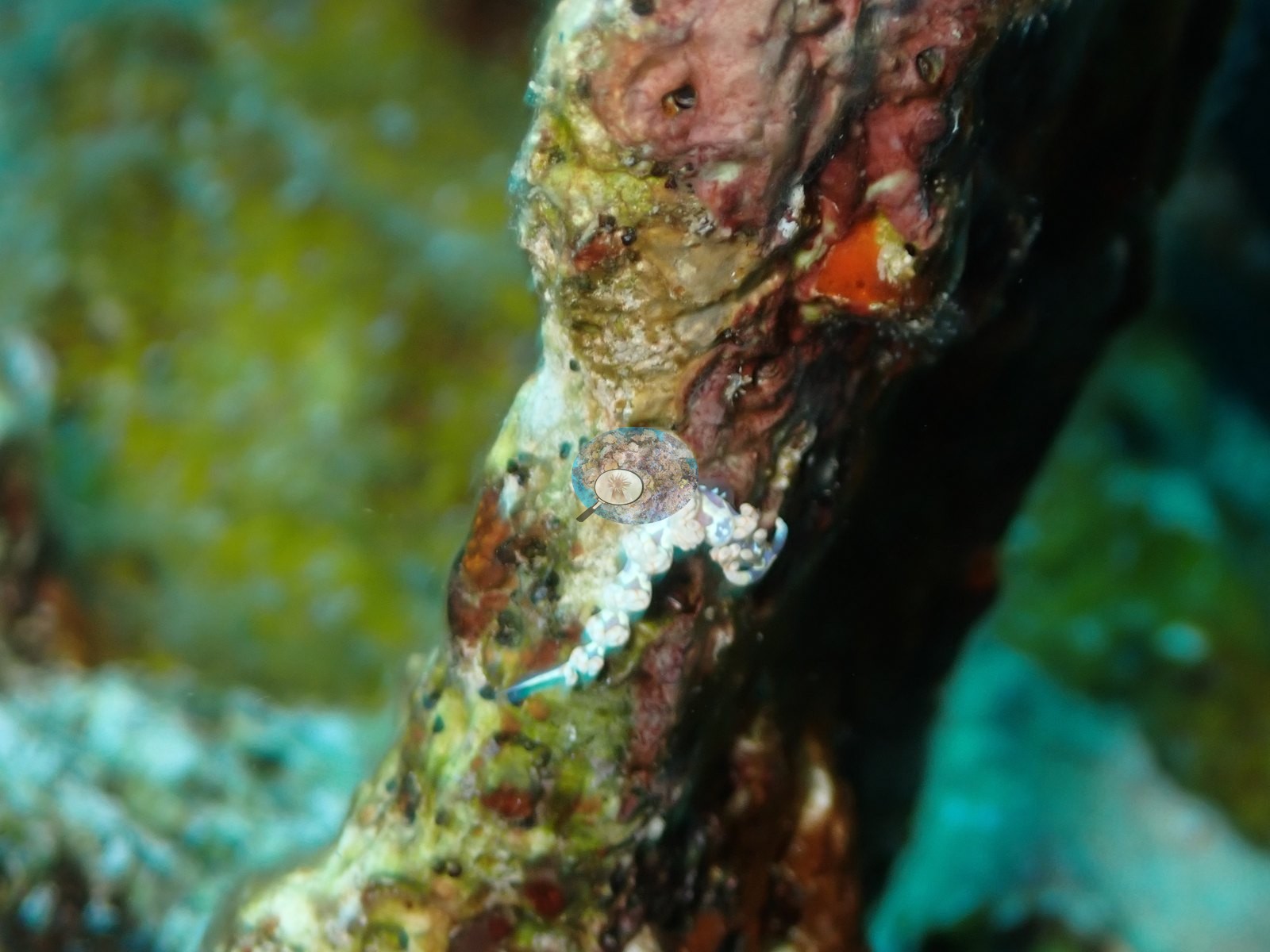
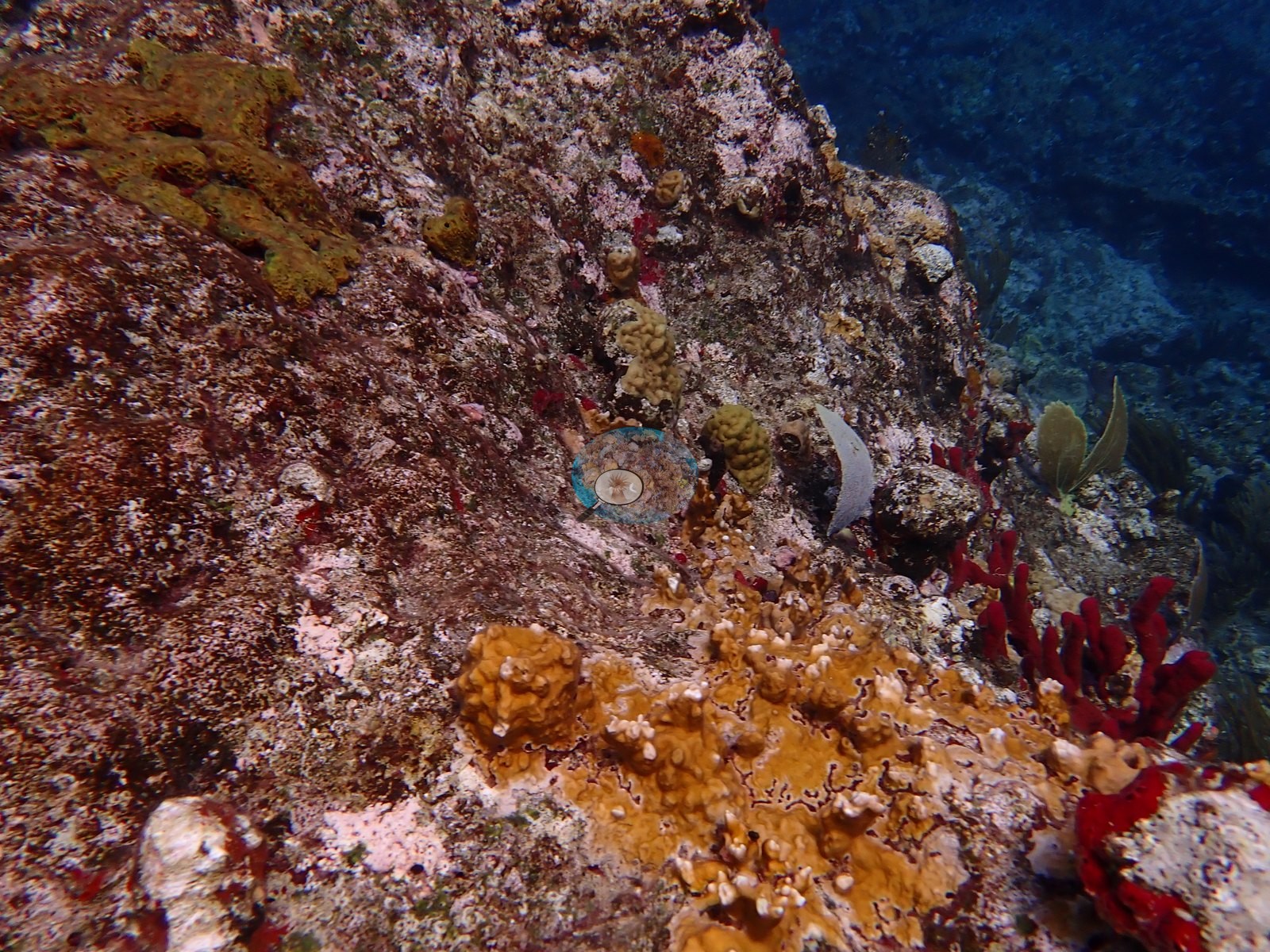
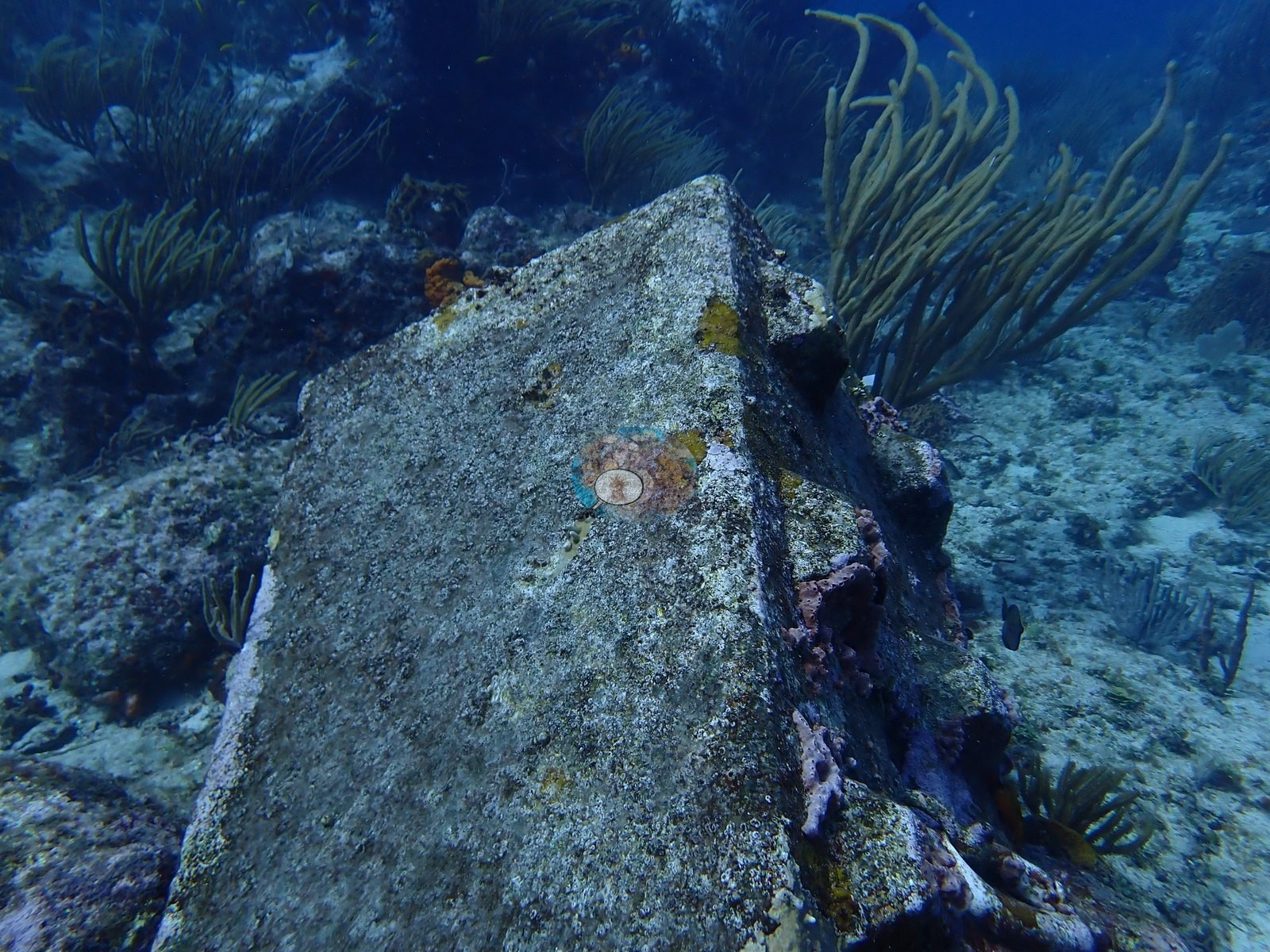
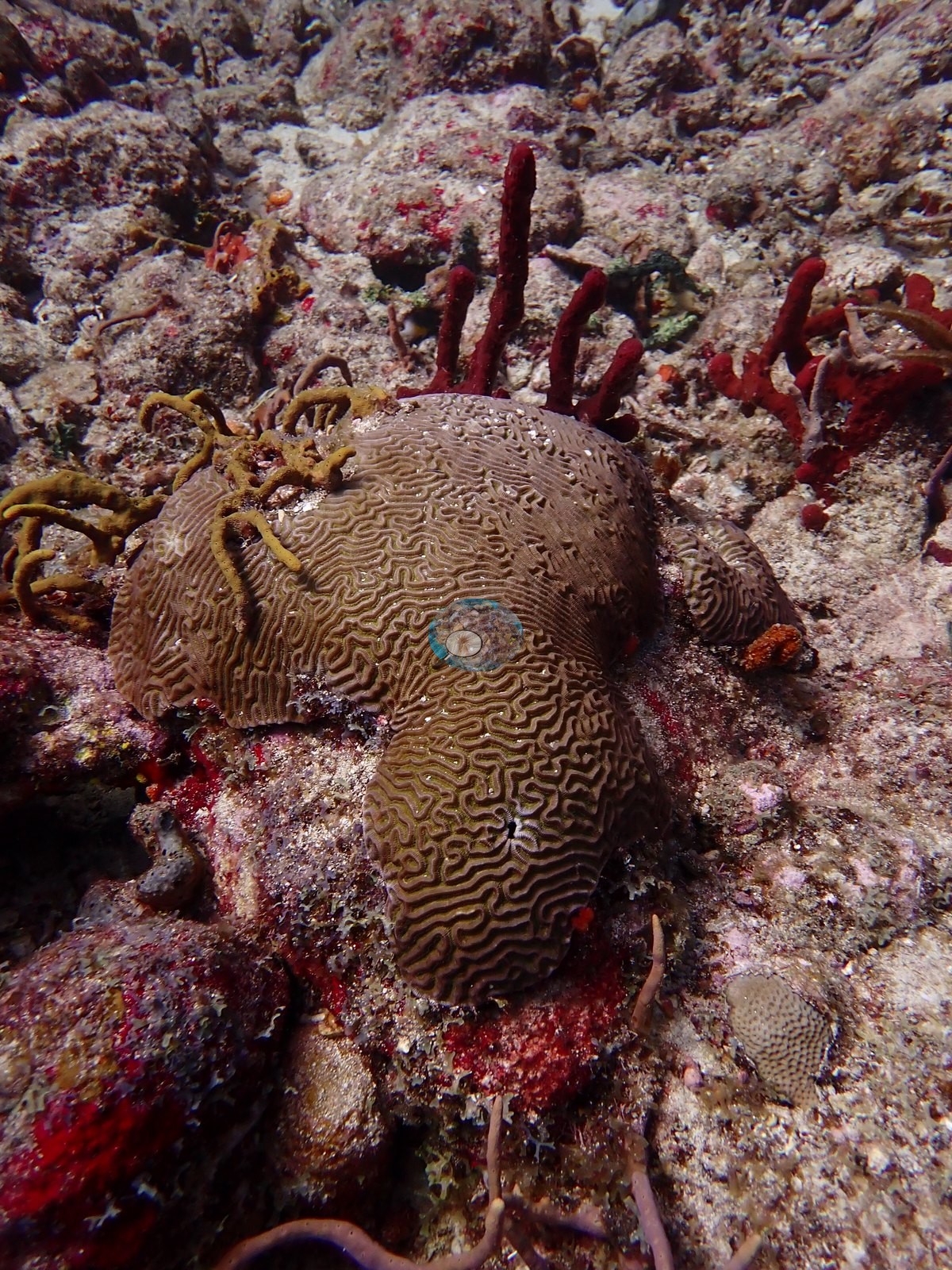
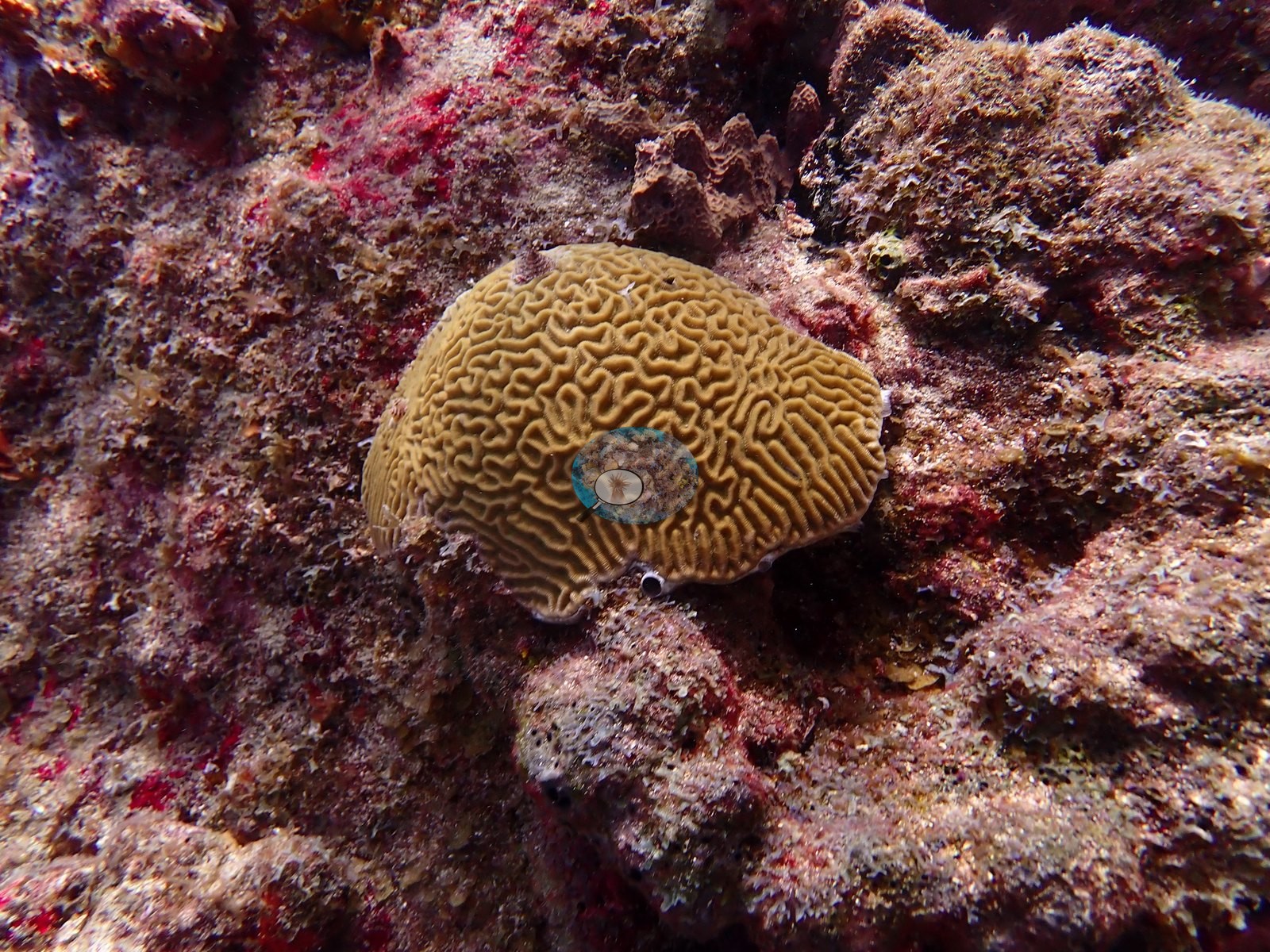
Proselyte Reef takes its name from HMS Proselyte, a Royal Navy frigate wrecked here in 1801, and pieces of encrusted chain and metal debris still turn up among the coral heads as a reminder of that history (e.g., Image 48).
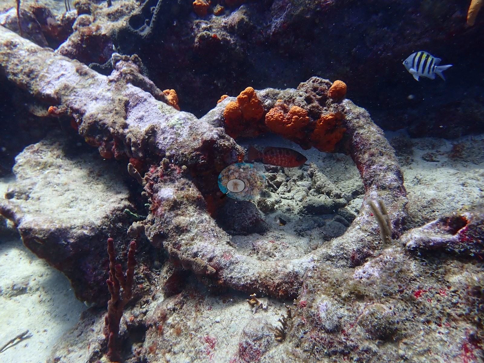
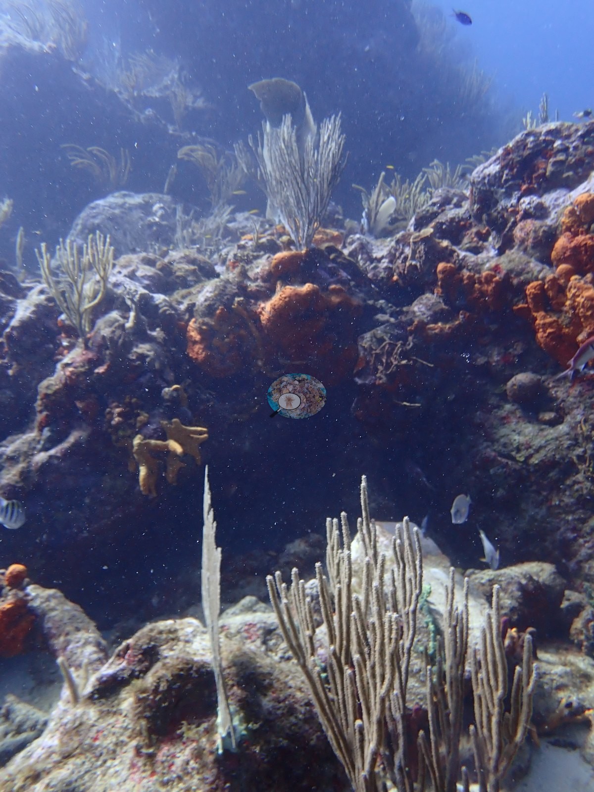
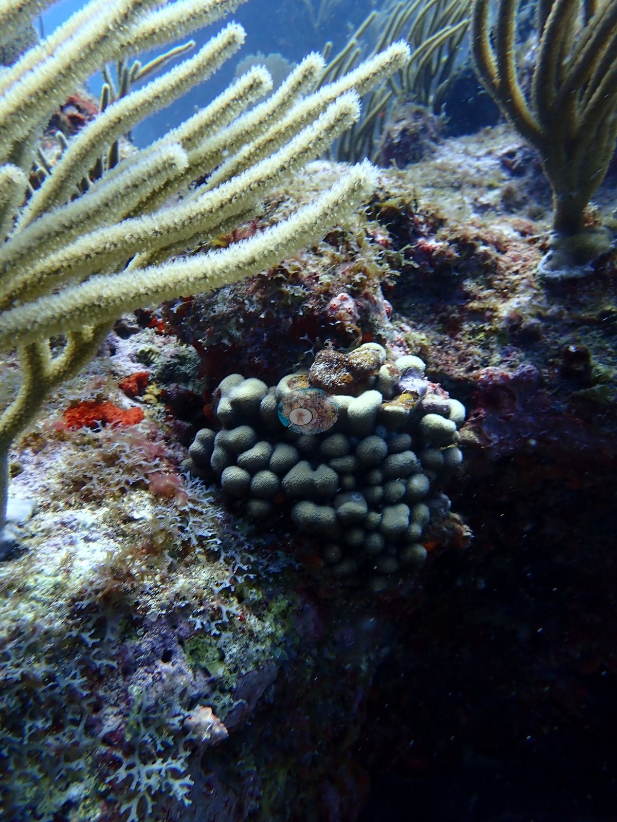
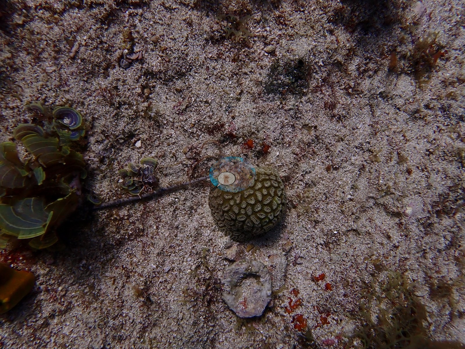
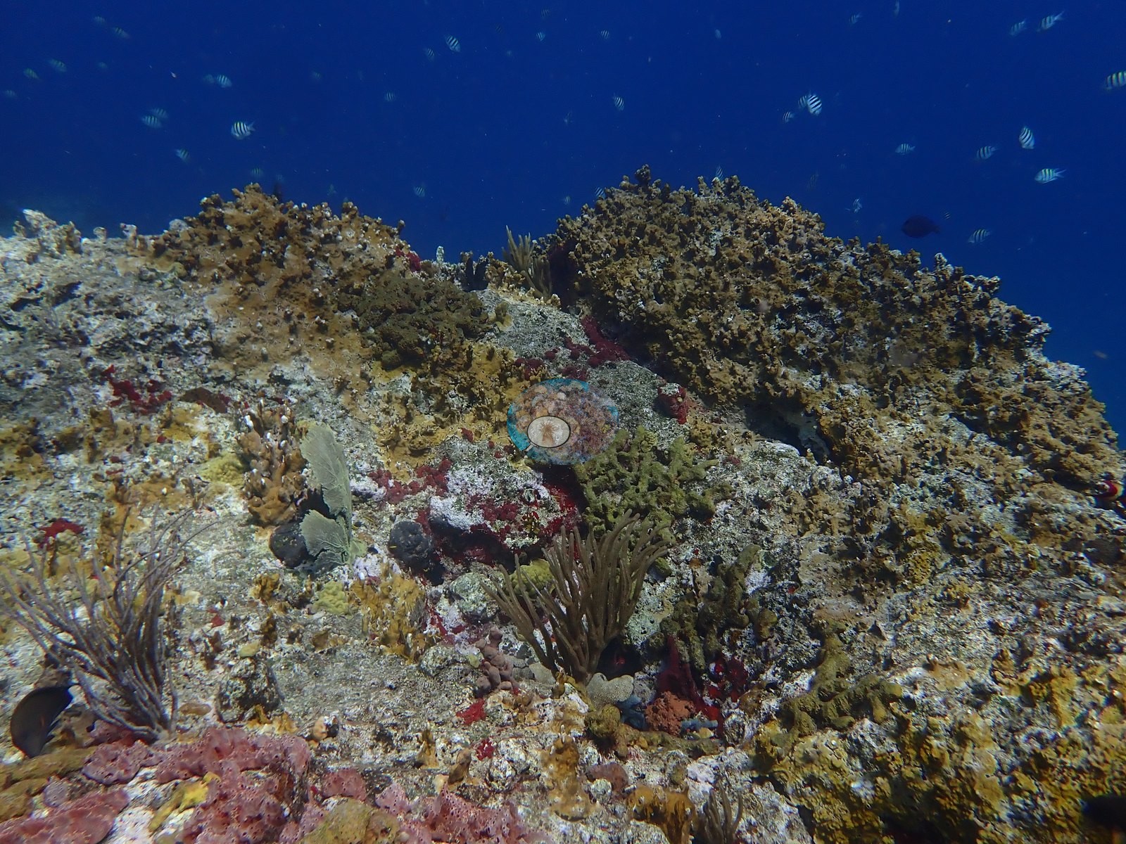
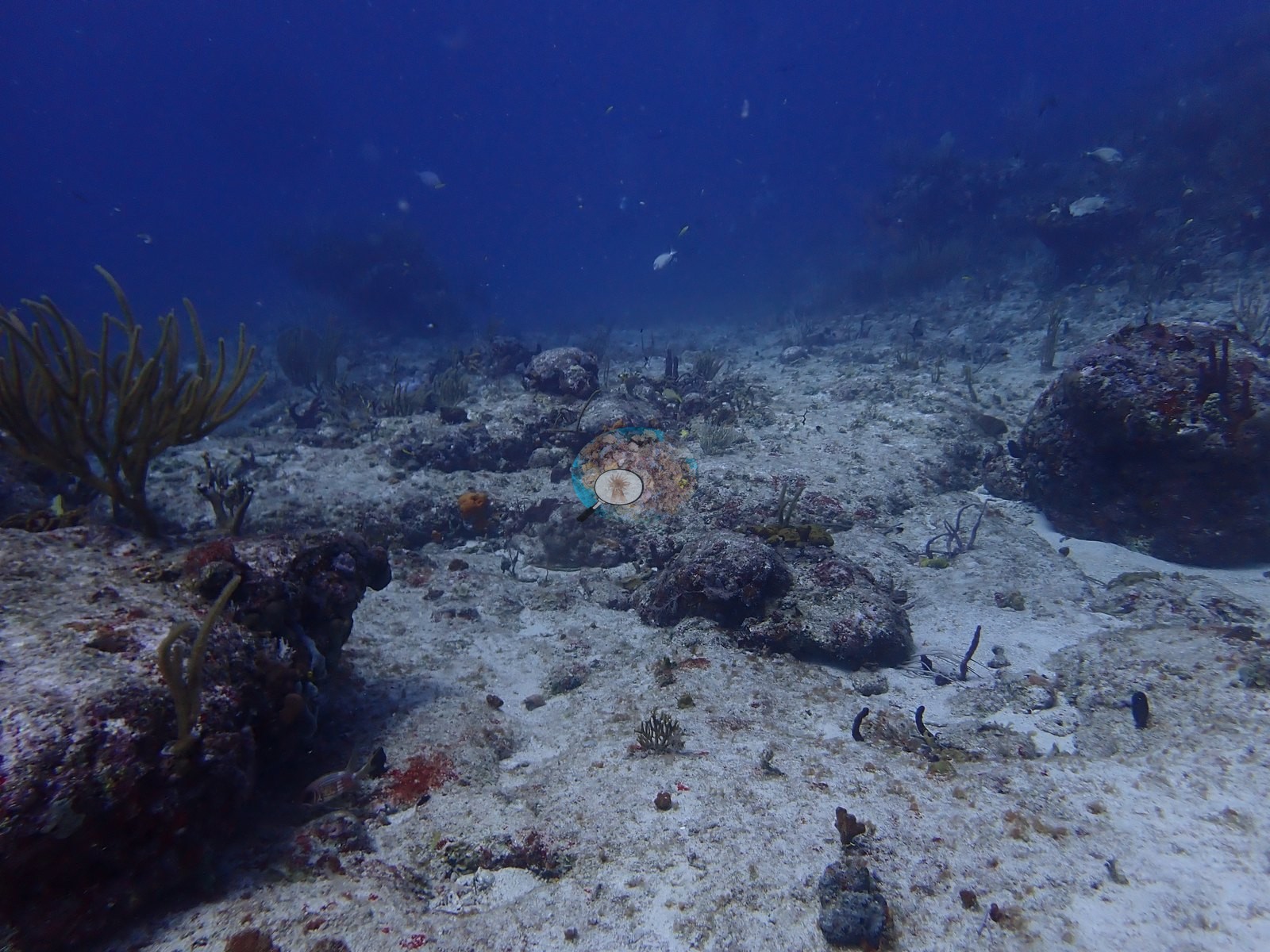
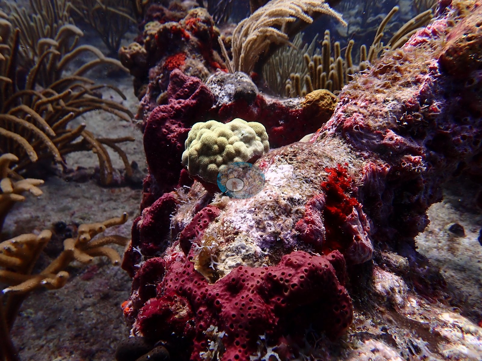
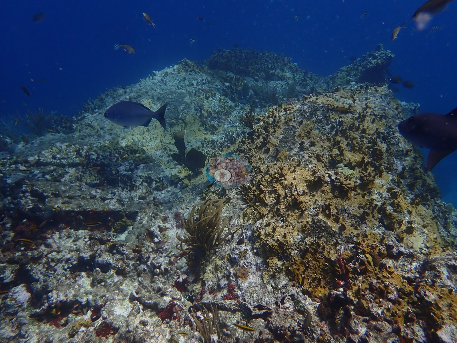
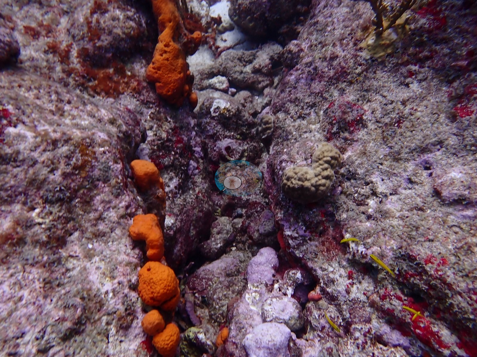
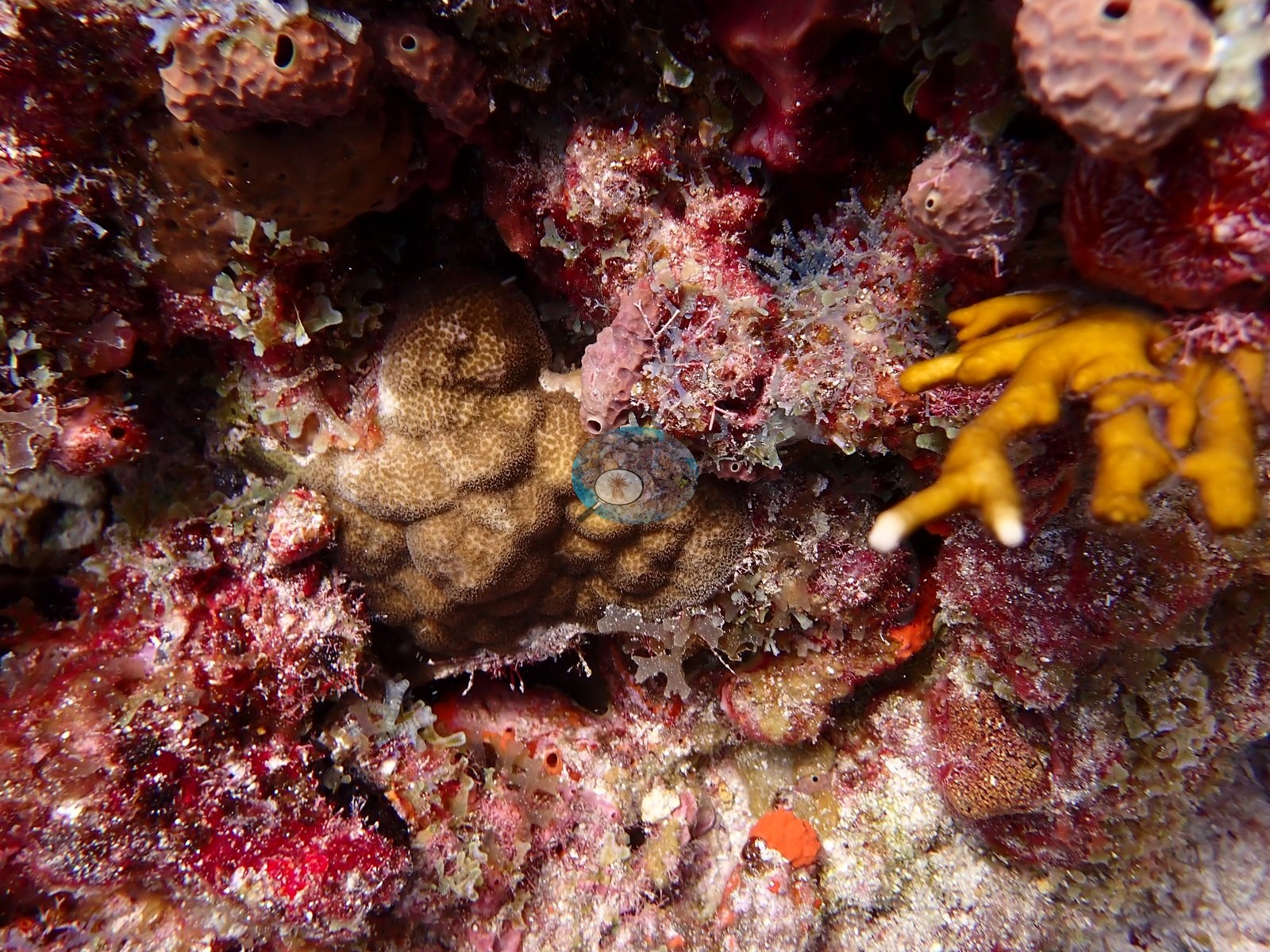
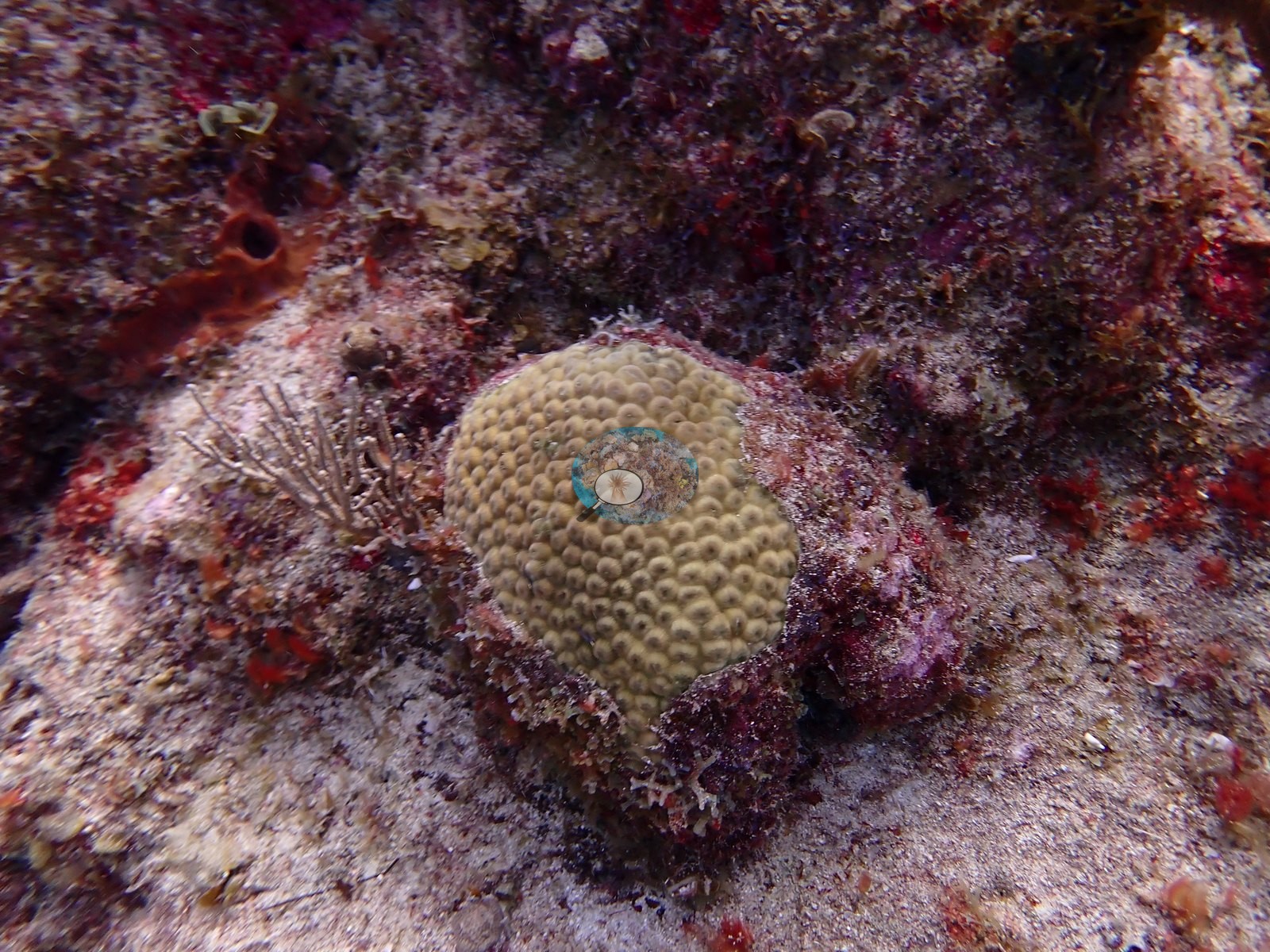
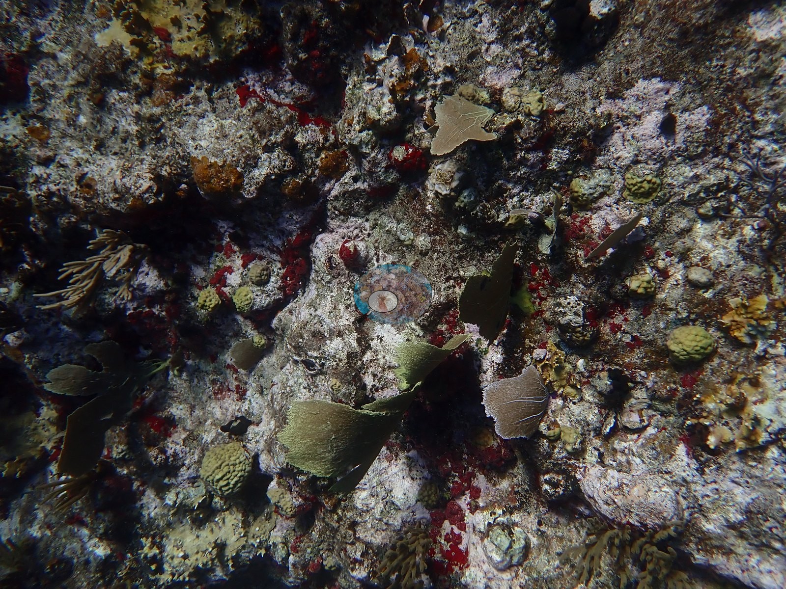
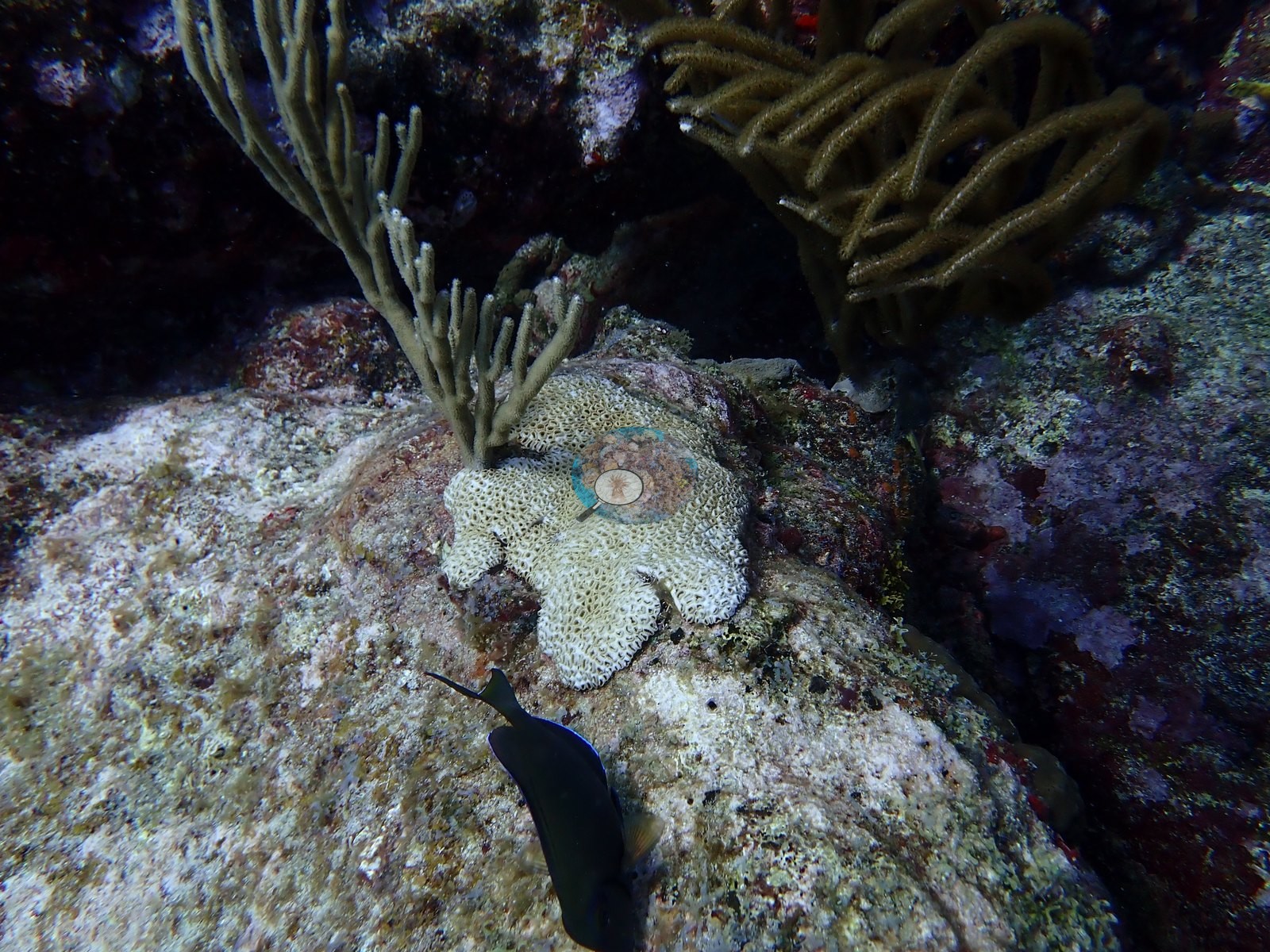
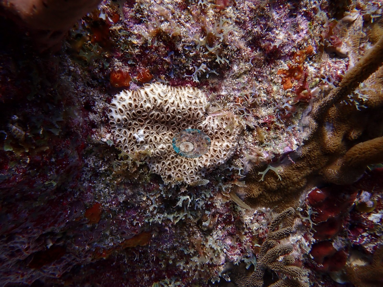
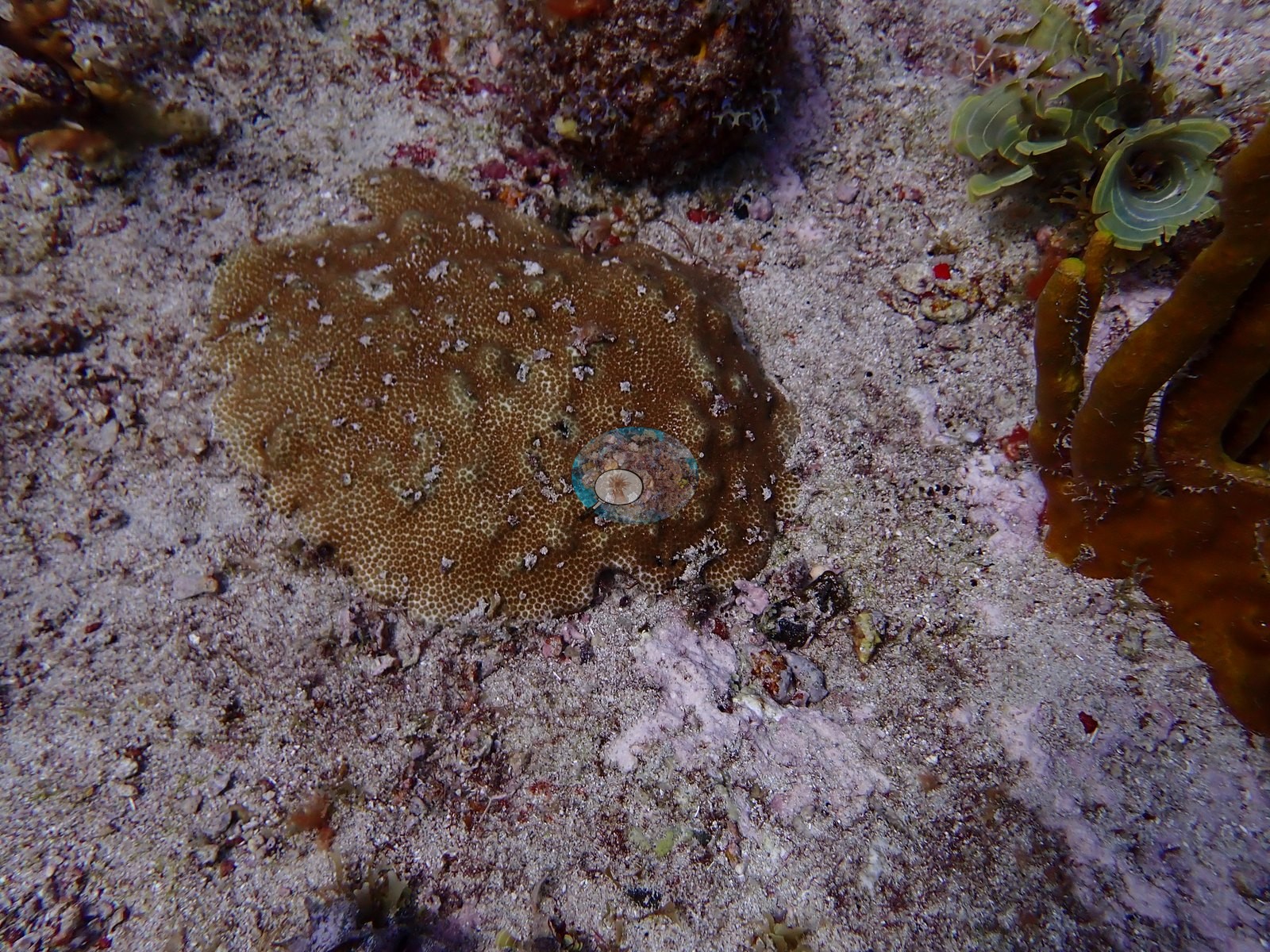
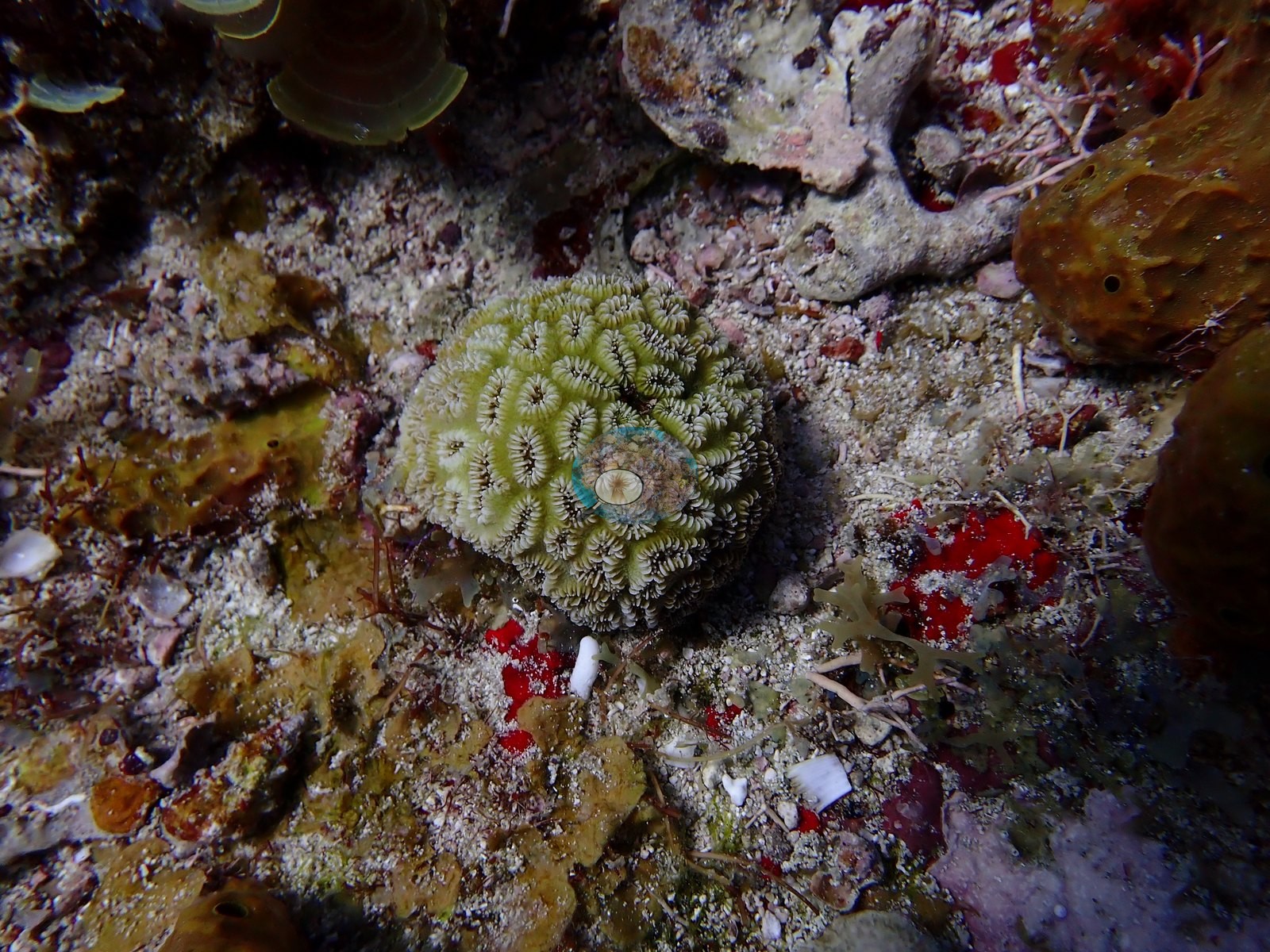
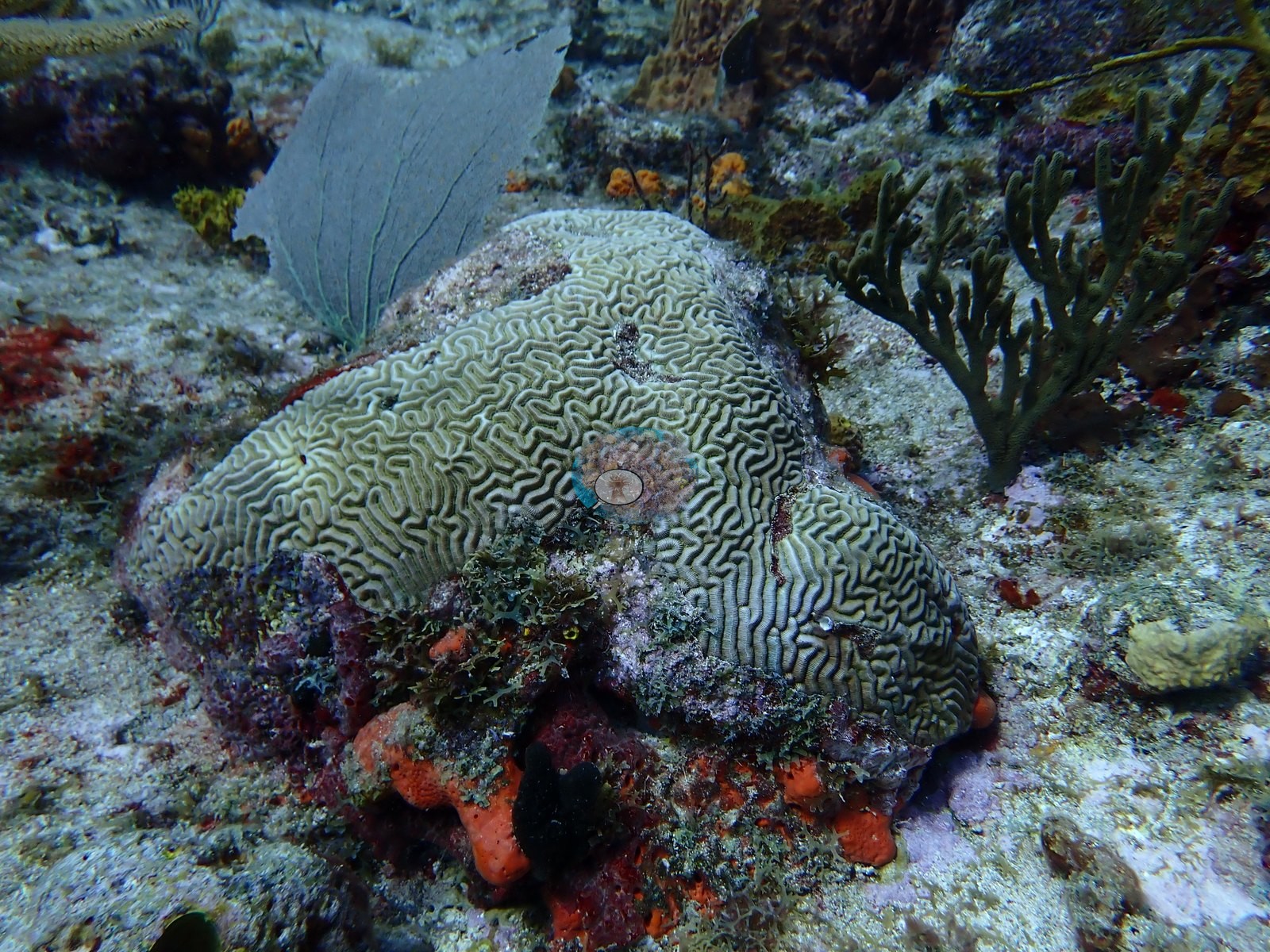
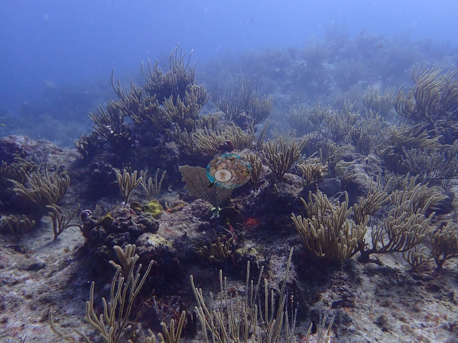
The site itself is a shallow, low-relief spur of coral rock and rubble, its surface knit together by big brain corals — grooved and smooth-faced colonies alike — and sturdy boulder star corals, with mustard hill coral filling in the gaps (e.g., Image 10, Image 18, Image 22, Image 31, Image 39, Image 47).
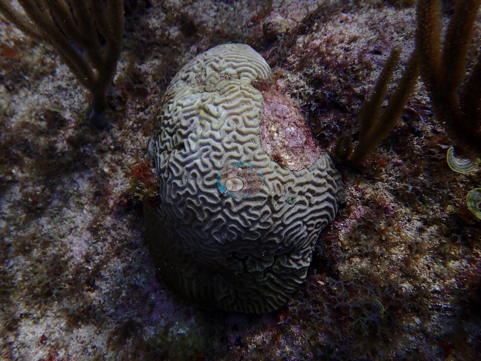
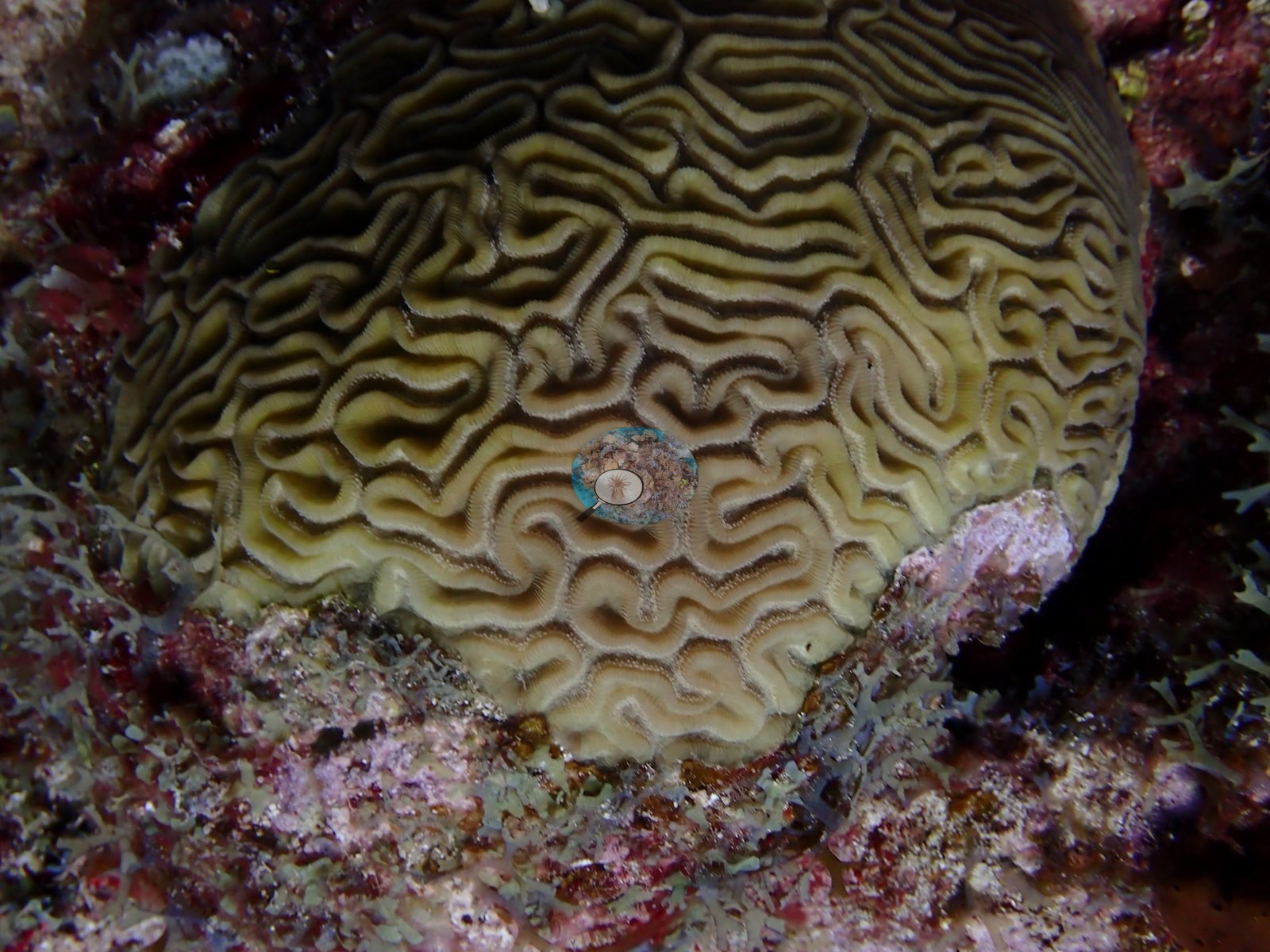
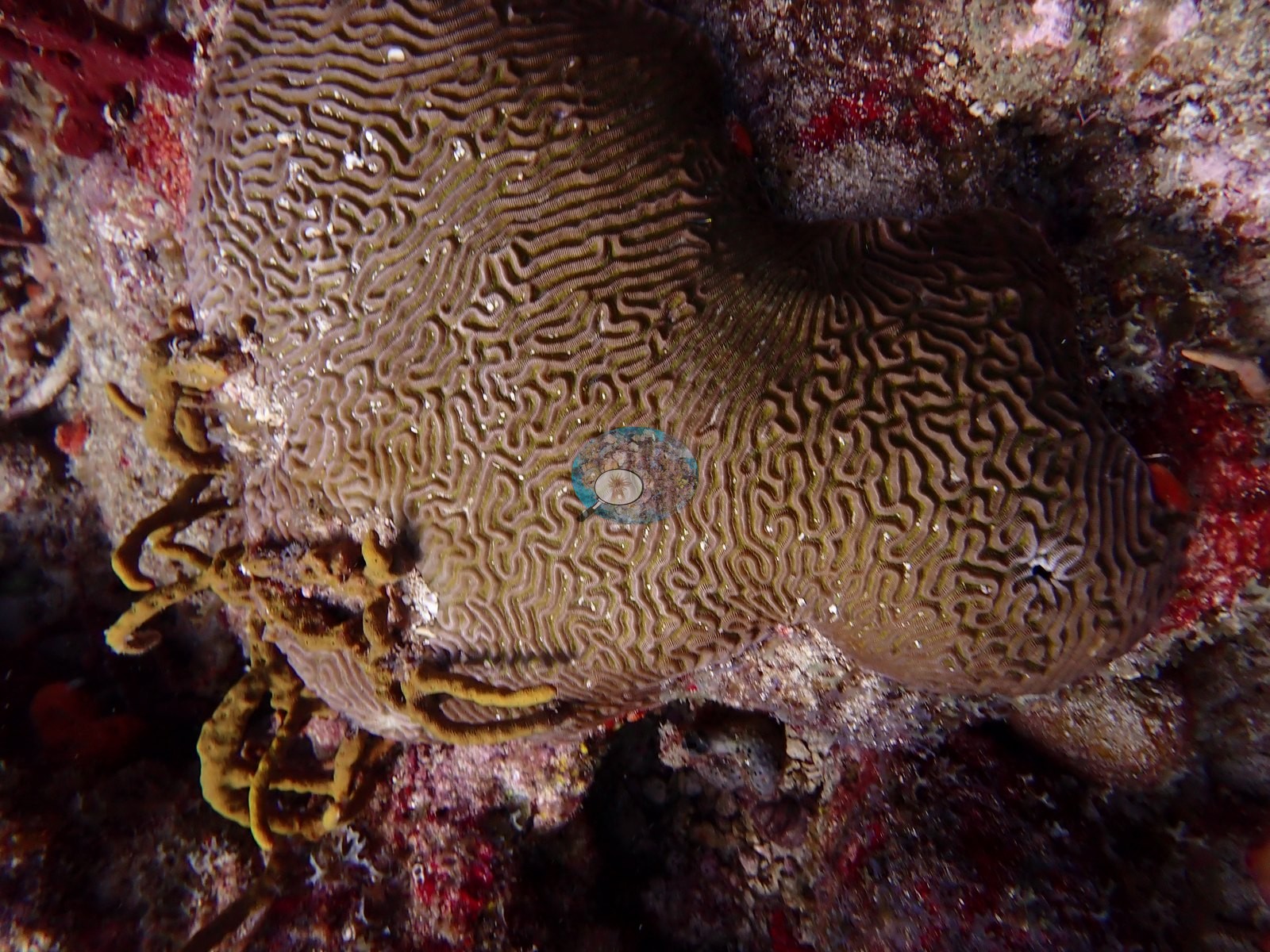
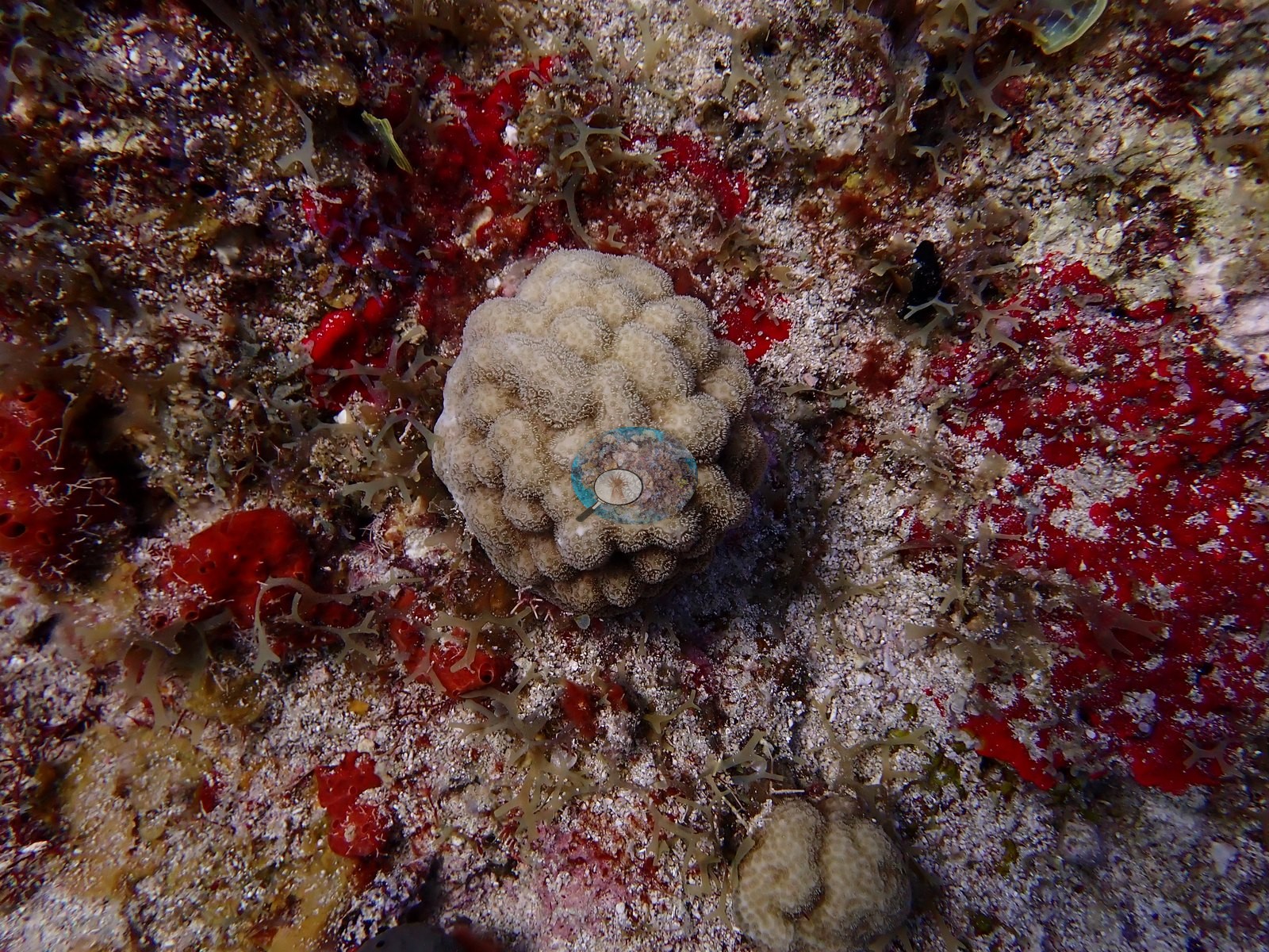
It's an easy, scenic introduction to St Maarten's reef life — equal parts natural history and maritime history.
General benthic features
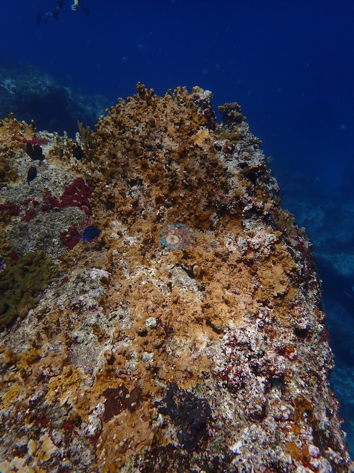
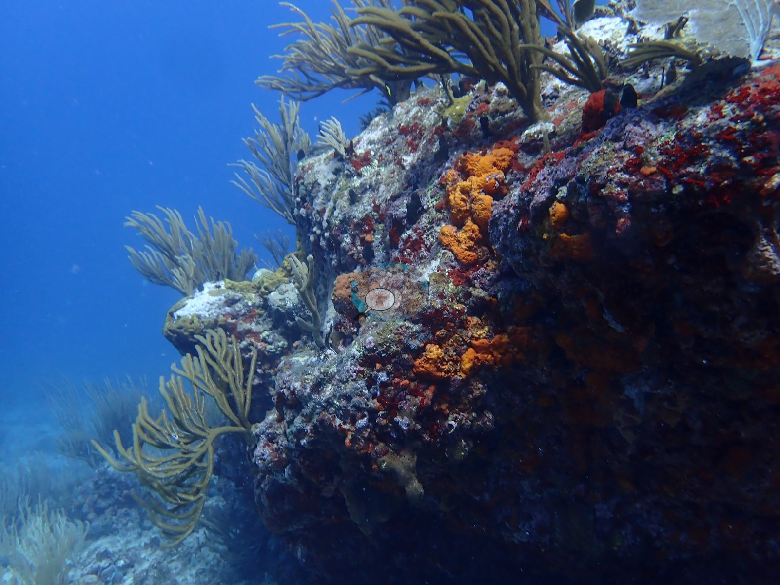
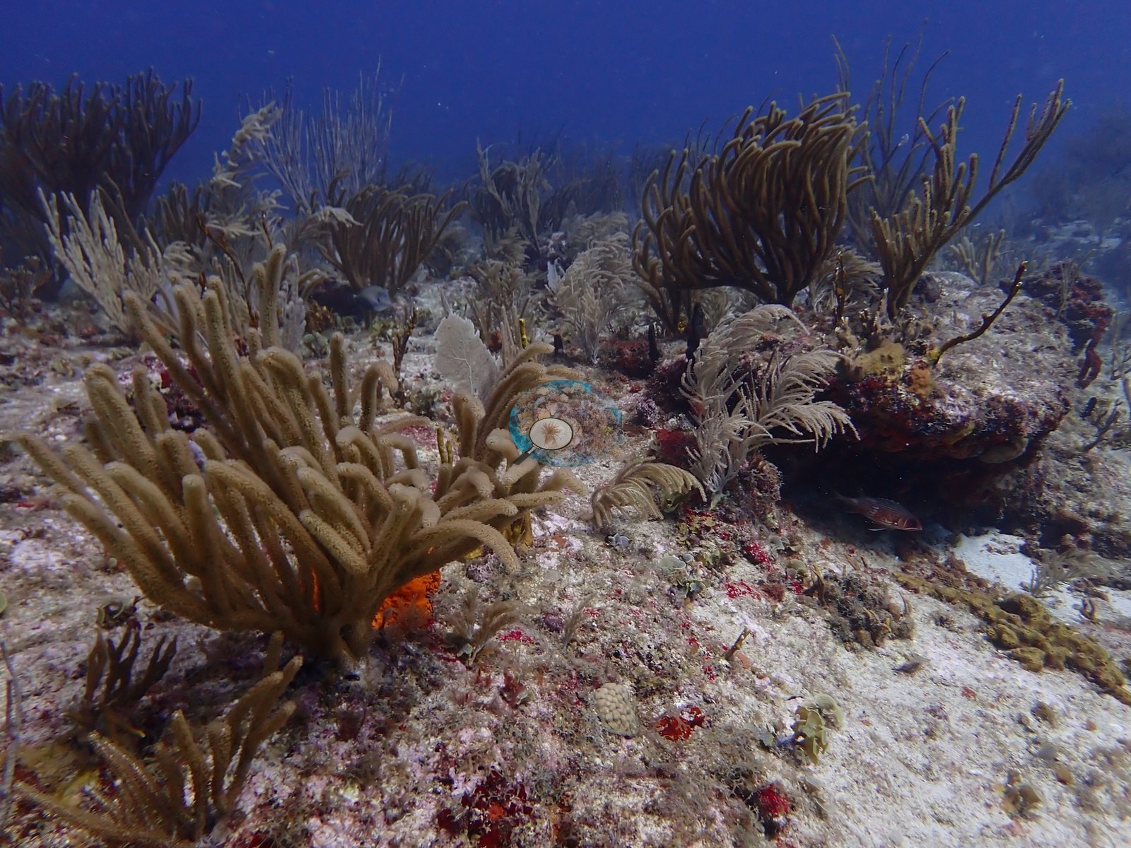
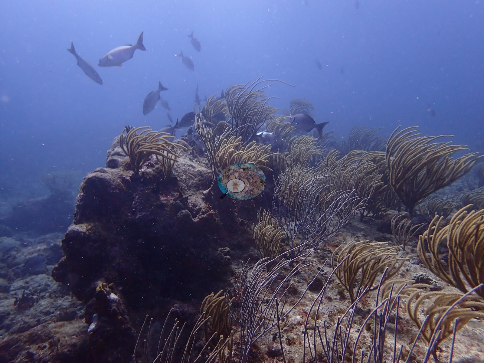
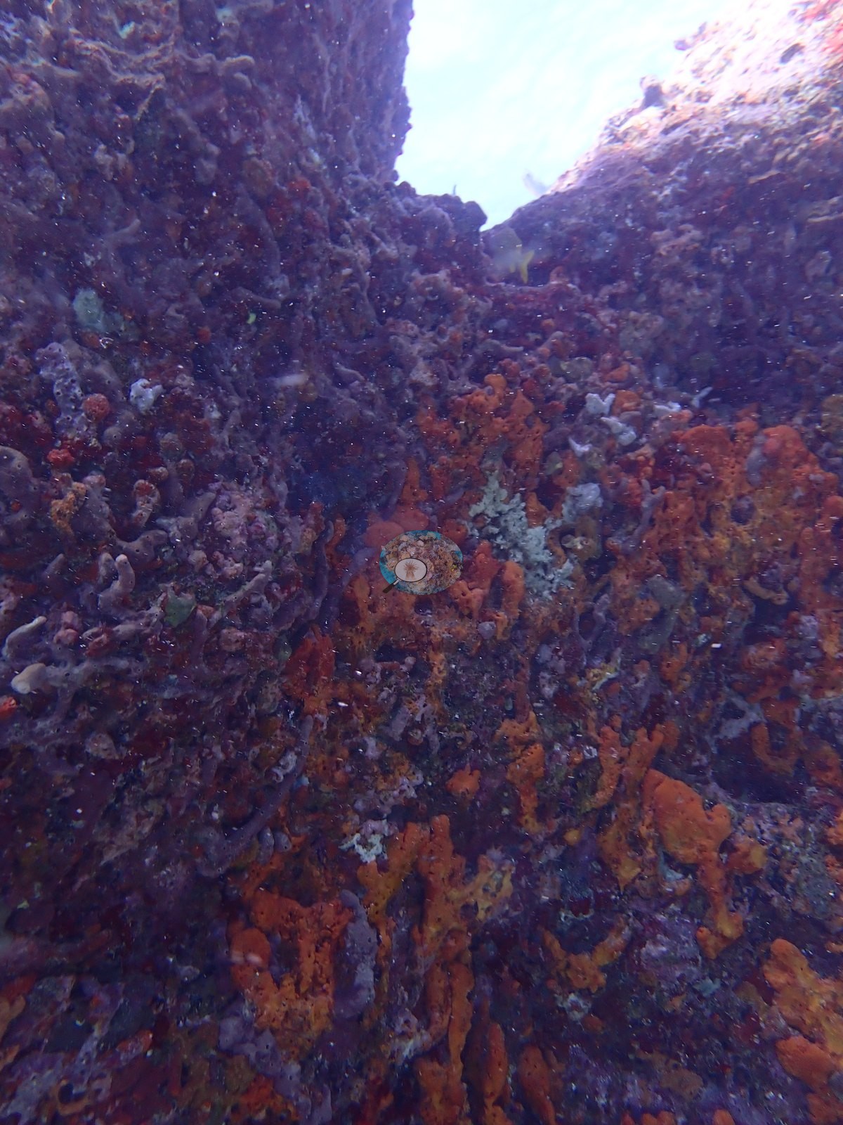
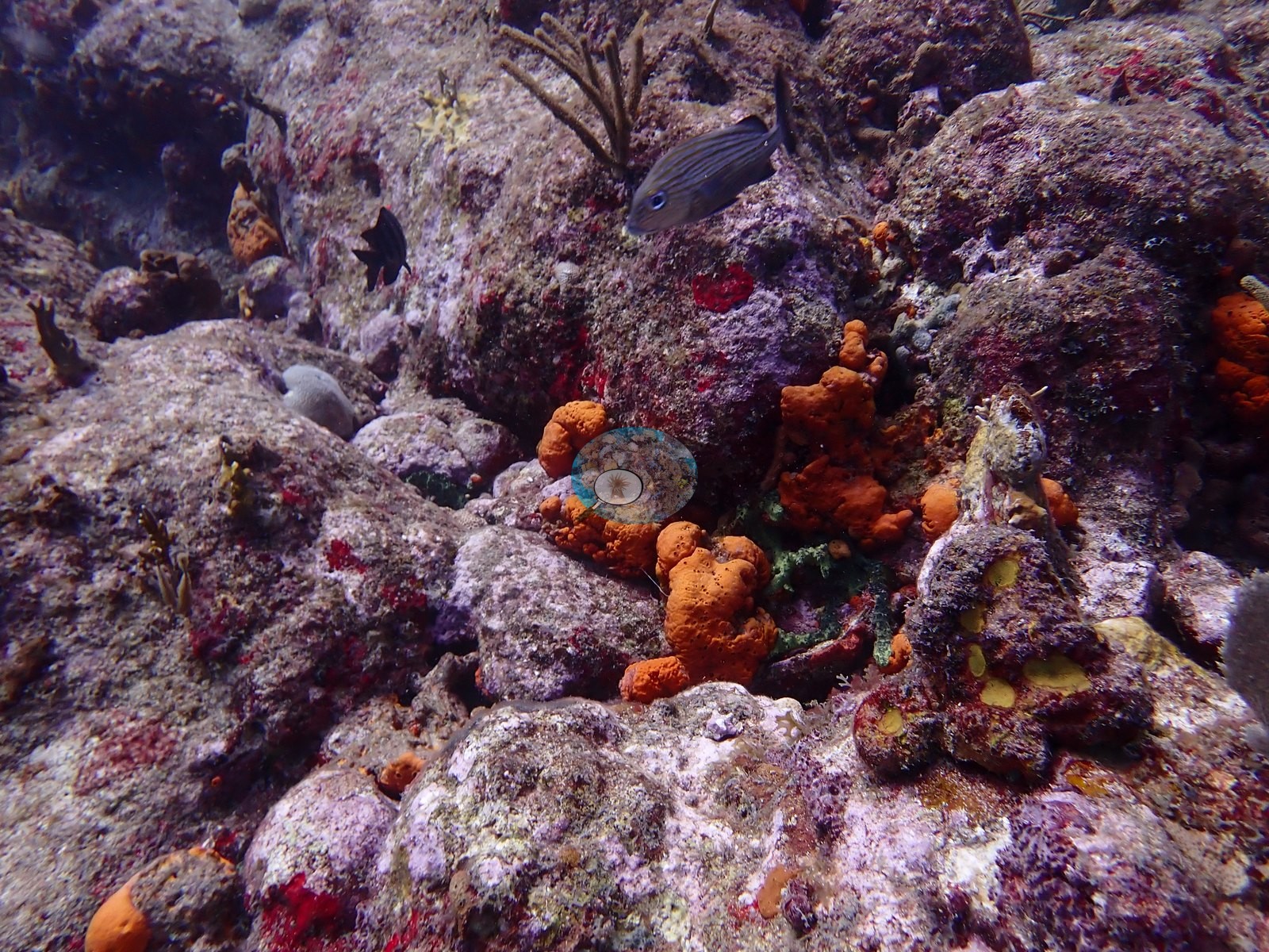
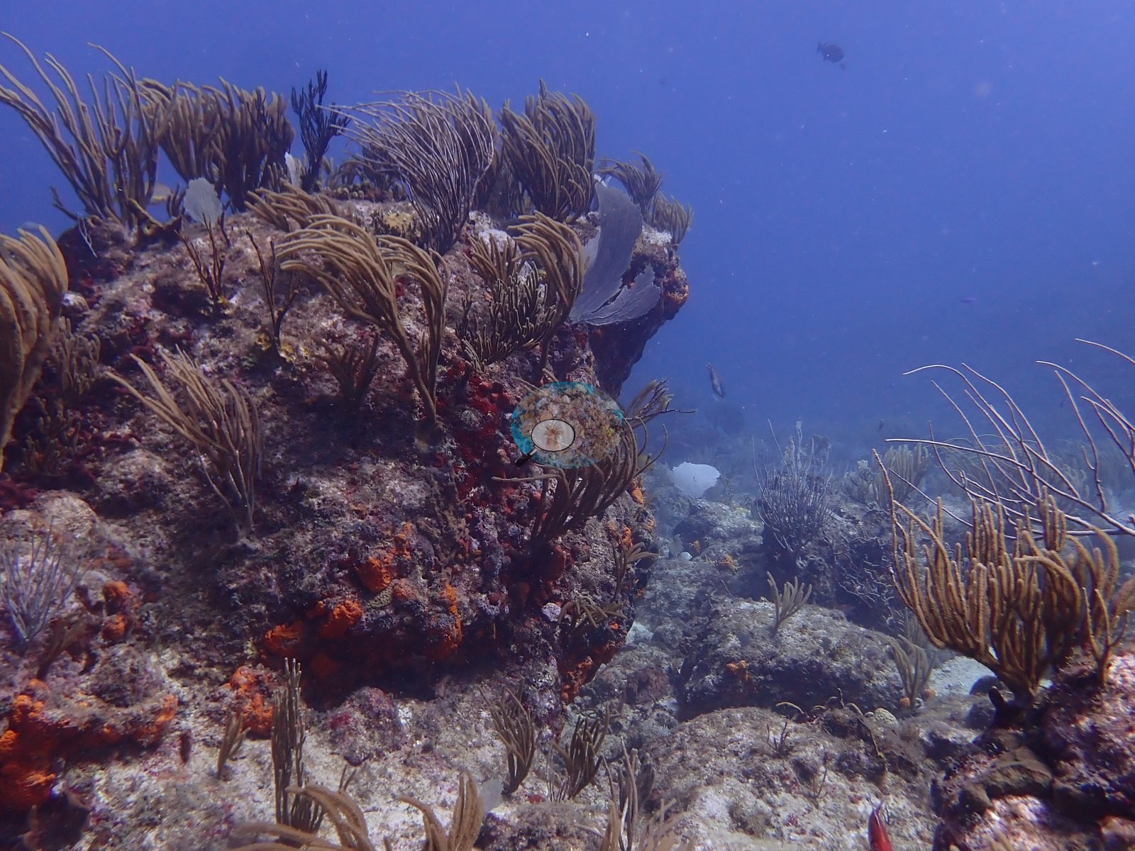
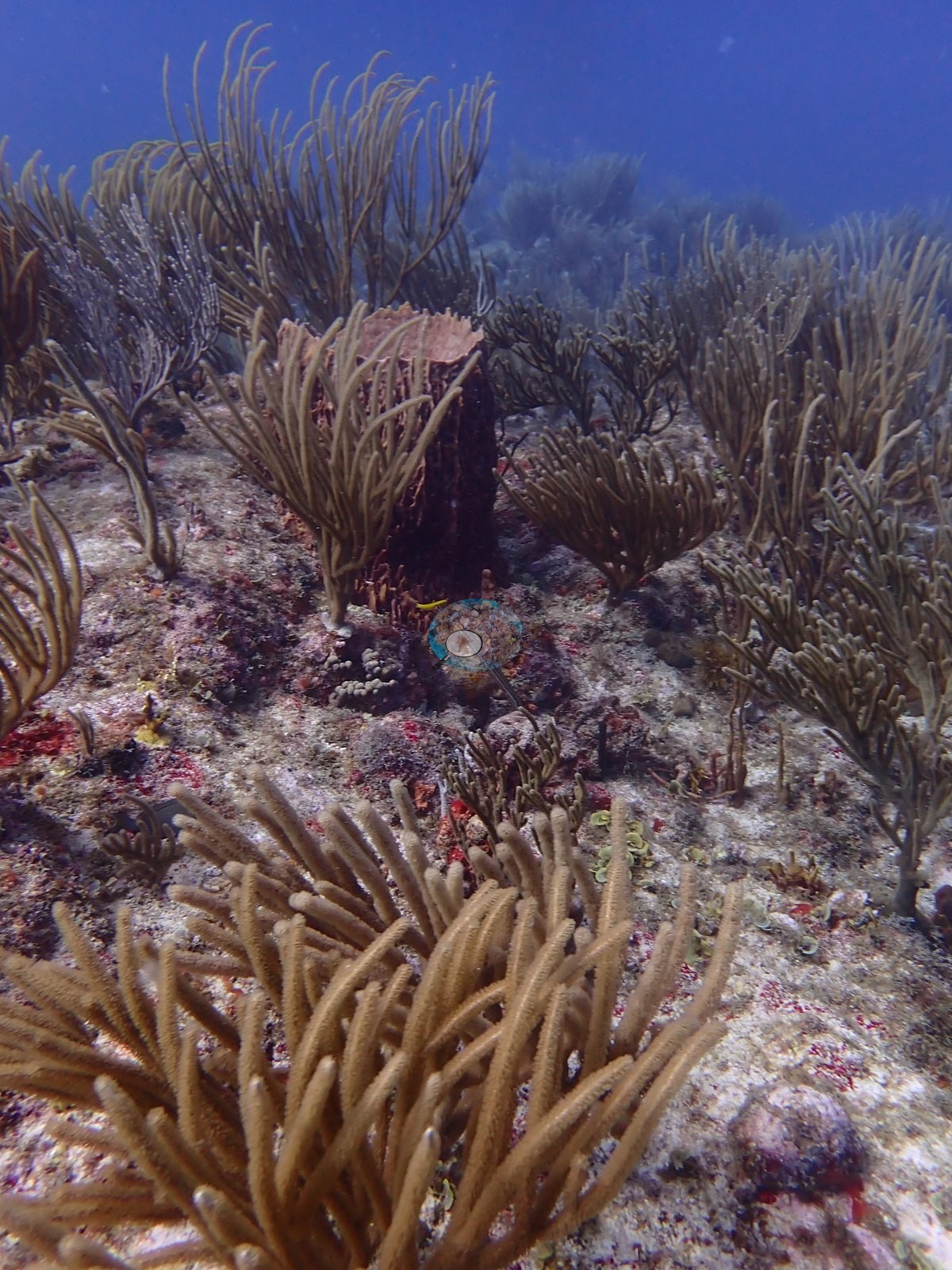
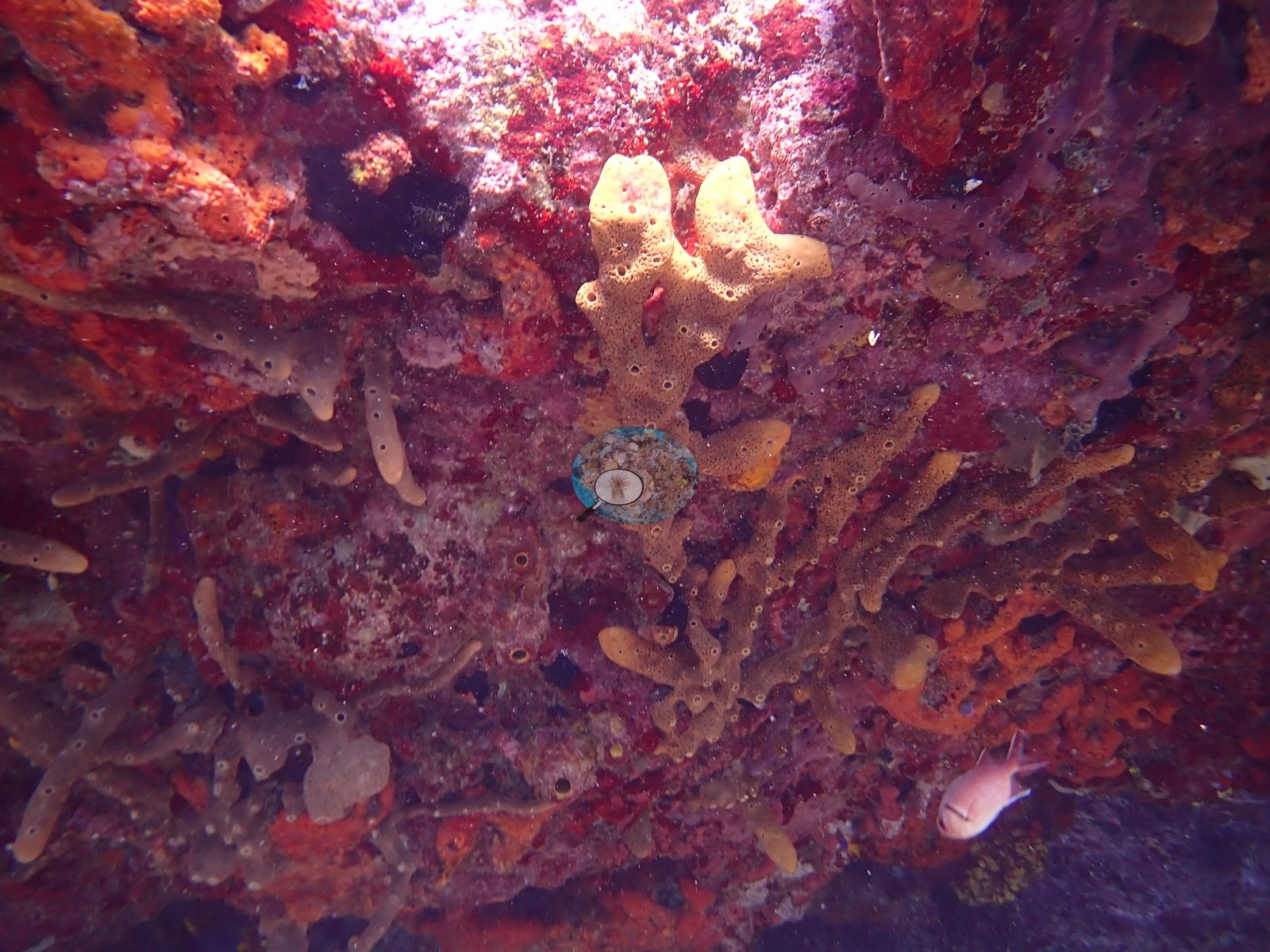
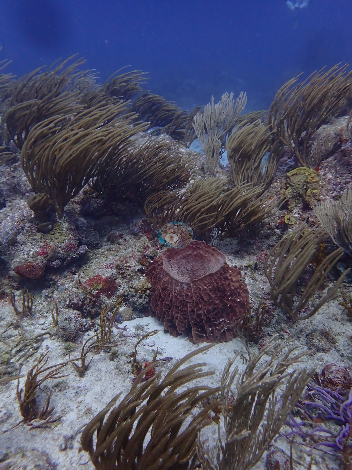
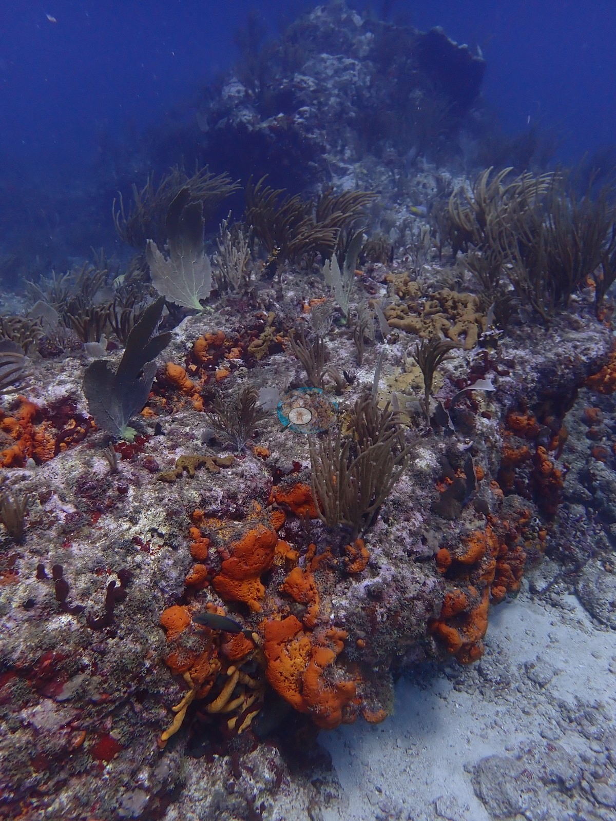
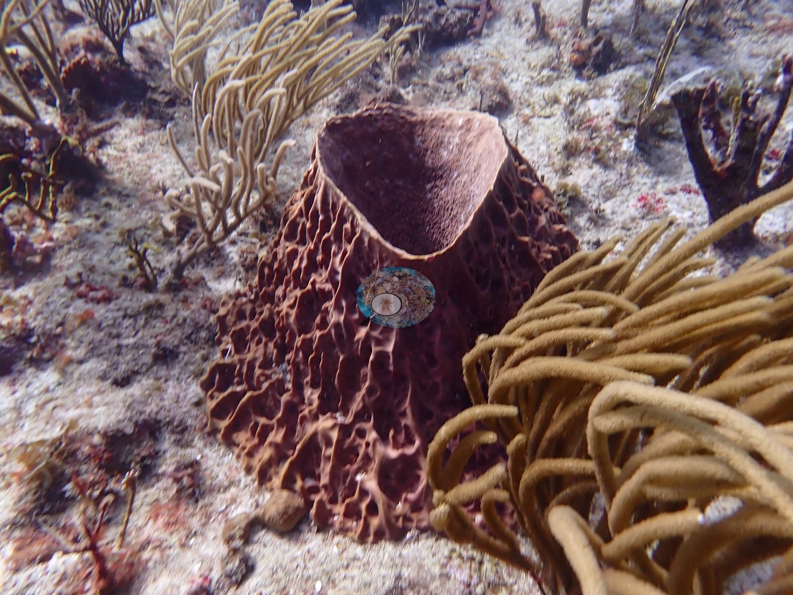
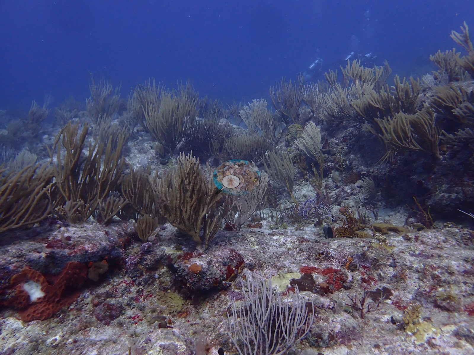
A soft-coral canopy of sea plumes, sea rods, and sea fans sways over much of the reef, punctuated by barrel sponges and patches of vivid orange and red encrusting sponge (e.g., Image 3, Image 8, Image 16, Image 20, Image 44).
Coral cover
Coral cover: 7.9% — a blind Claude computer-vision point count of 114 of Anderson's unedited photographs (20 points per photo; water, fish, and obstructions excluded). Other computer-vision methods are listed in the method table.
Stressors
No corallivores evident.
Fish and other fauna
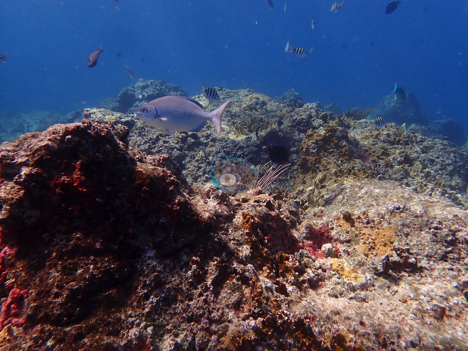
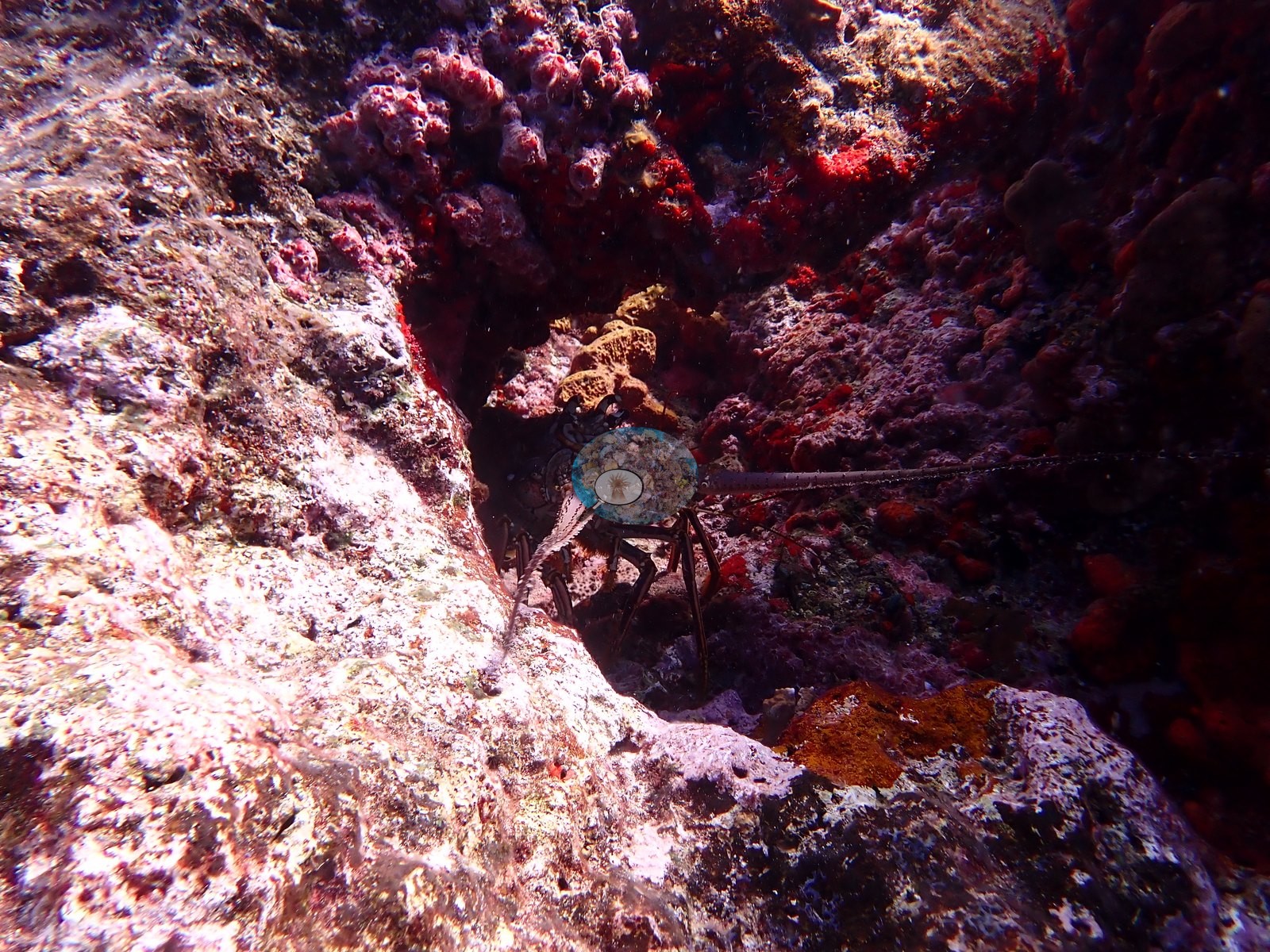
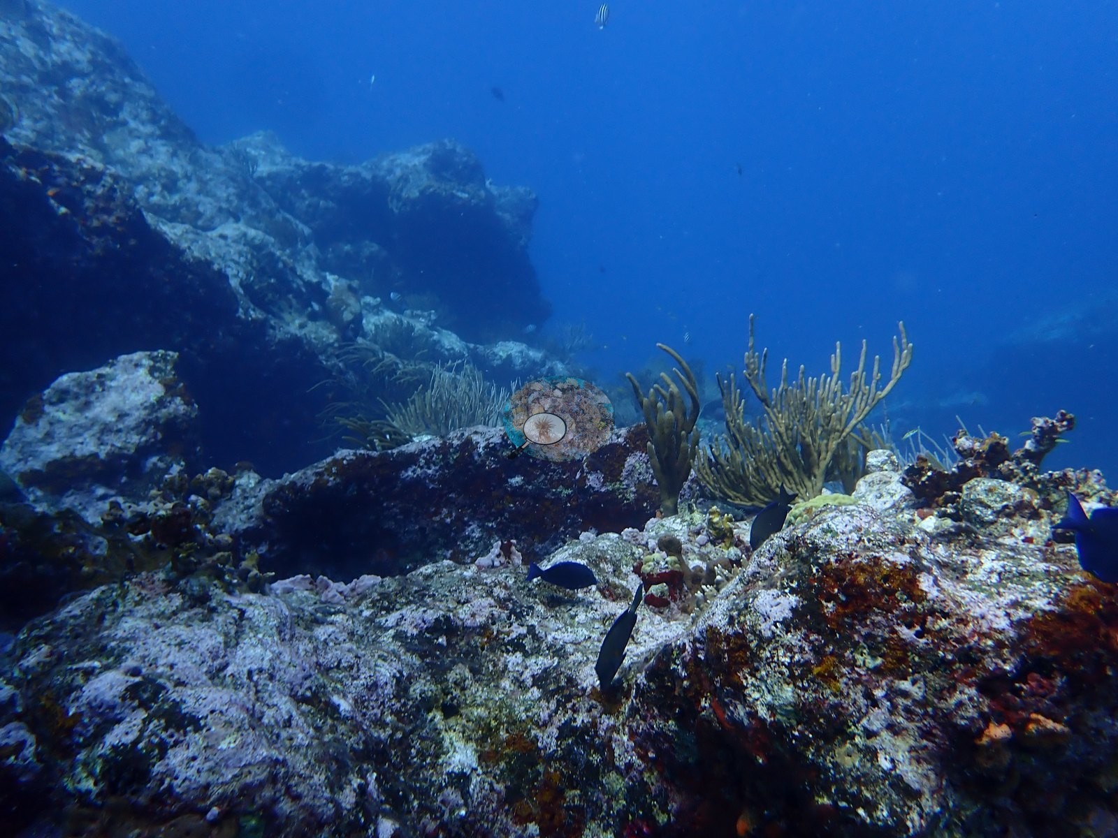
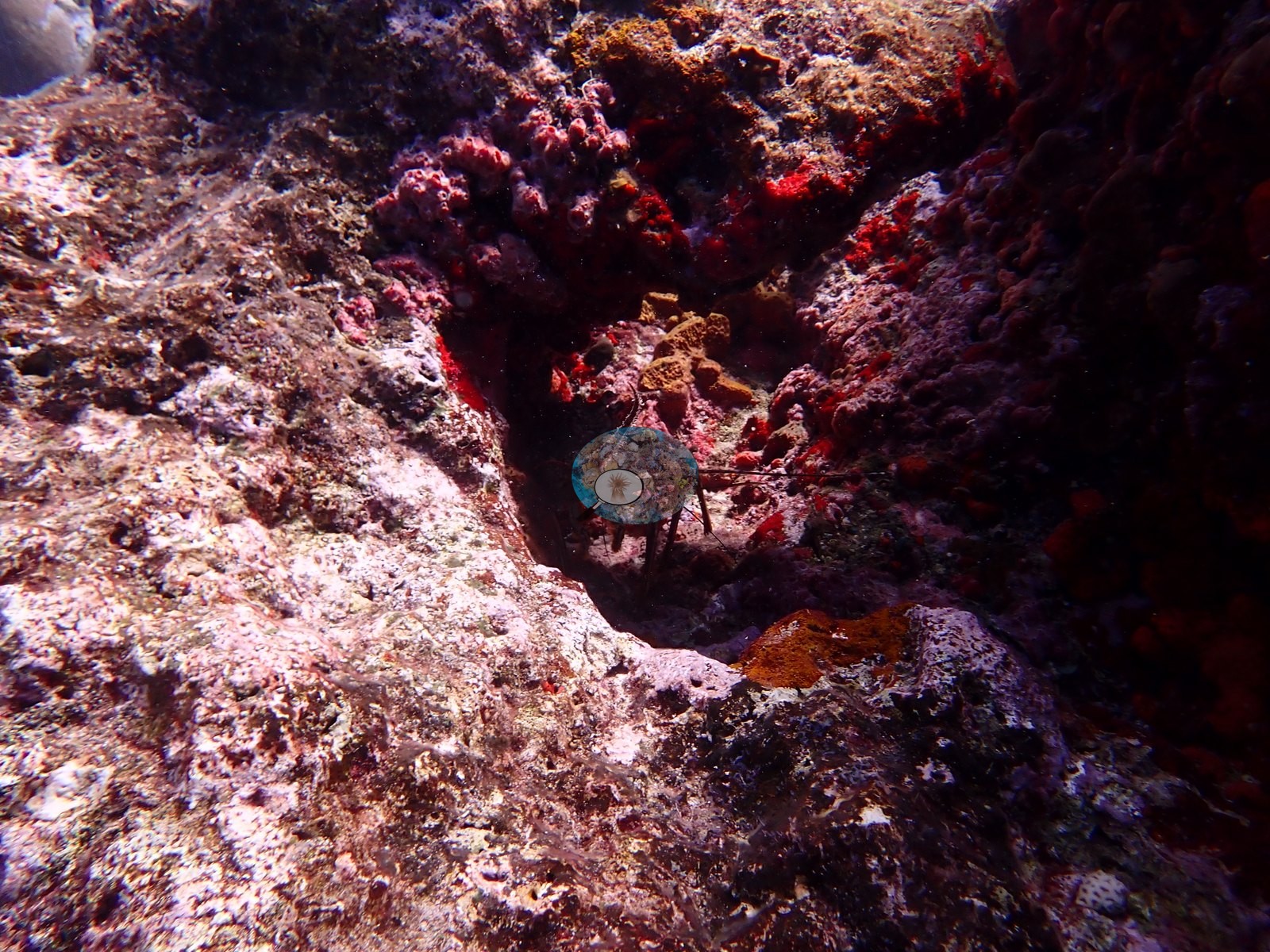
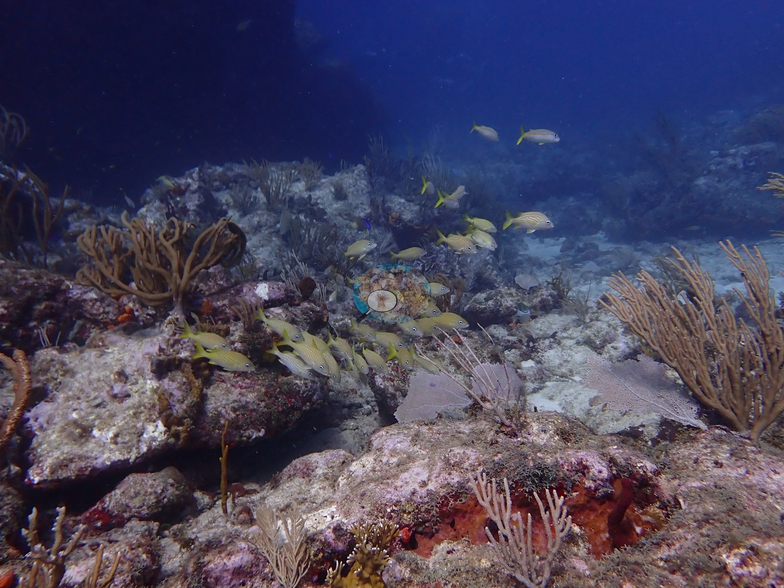
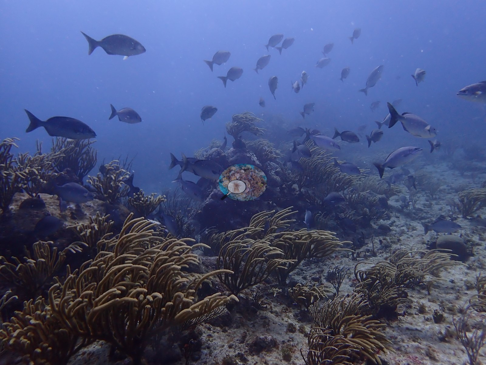
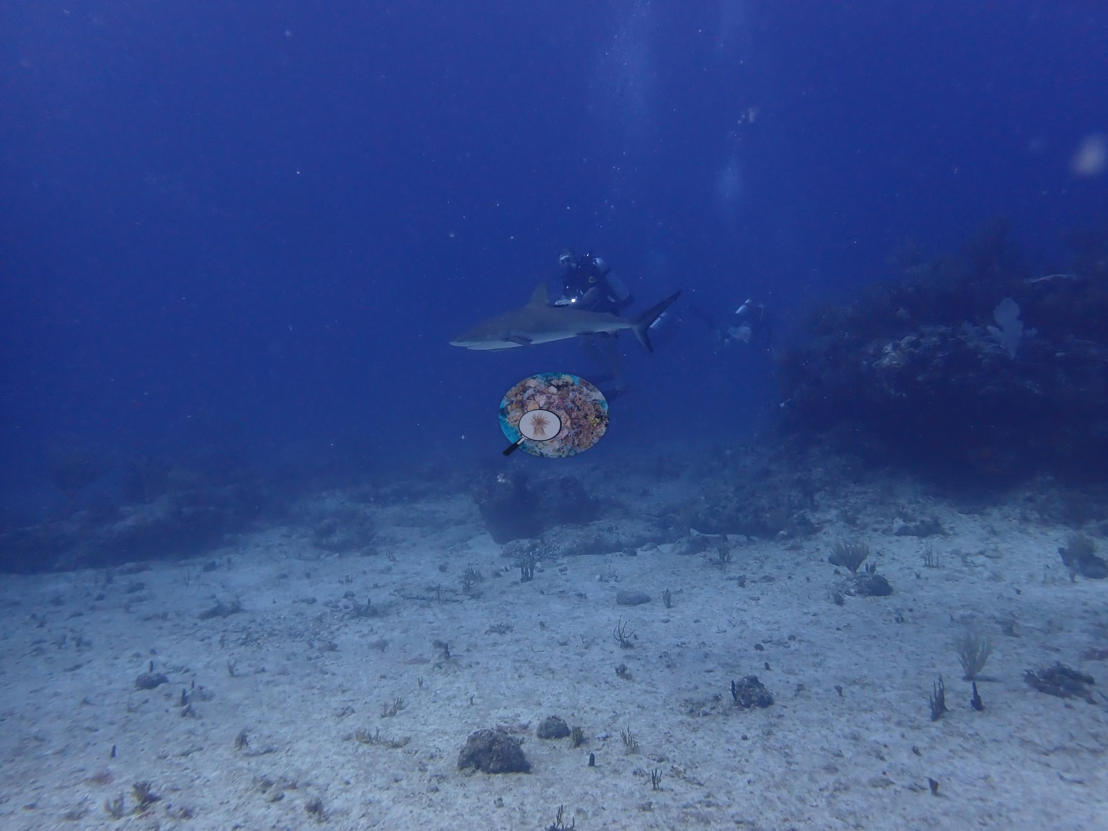
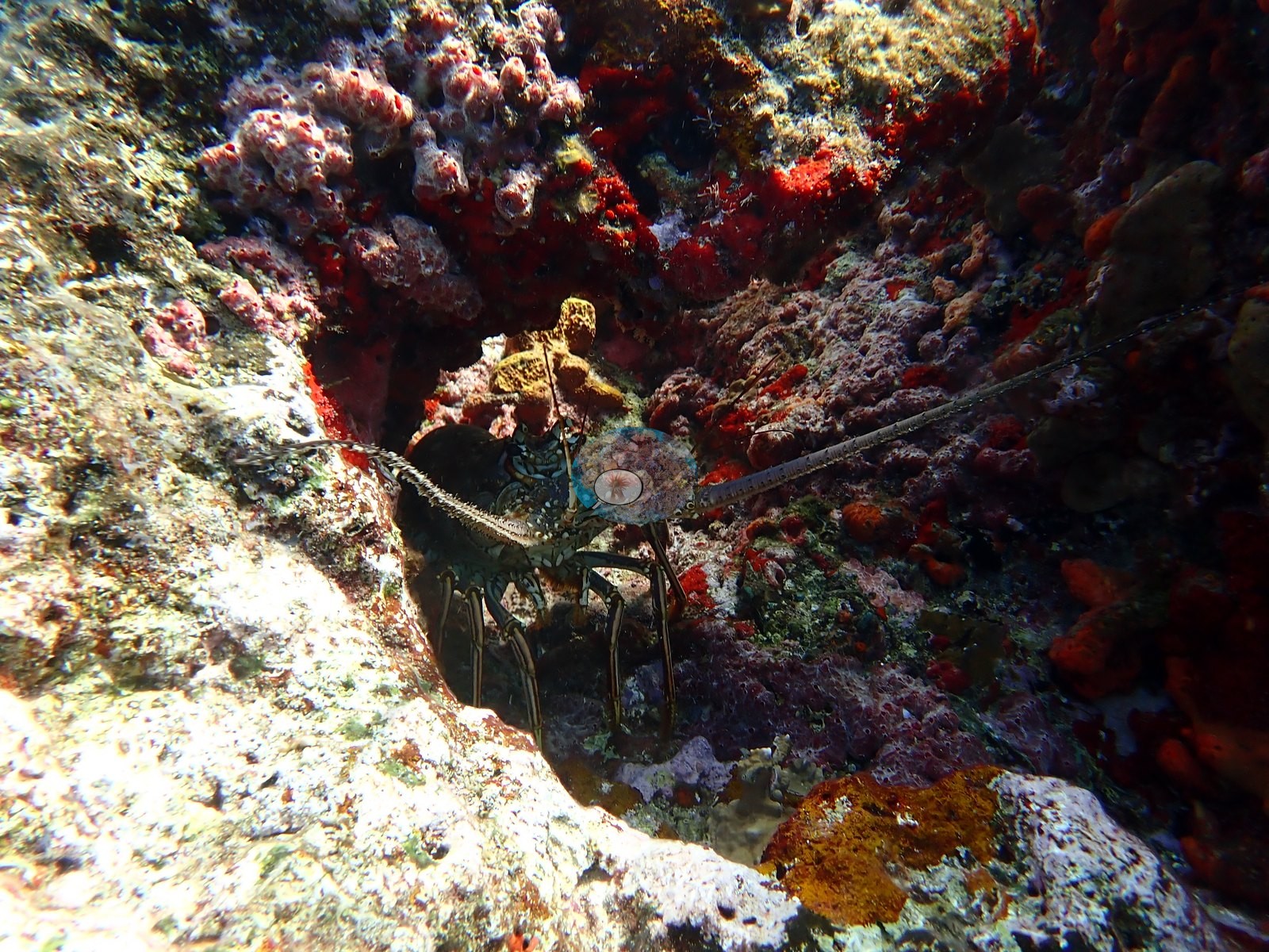
Divers can expect schooling chub and jacks overhead, sergeant majors and wrasses working the reef face, the occasional Caribbean reef shark passing in the blue, and spiny lobsters tucked into the many ledges and crevices (e.g., Image 12, Image 27, Image 37).
Comparisons with other data
No independent survey was made at this exact site; the nearest ones are listed in the table below.
CV model comparison
More info
DINOv3 and CoralSCOP were run on the same photos and are listed for comparison. Coralscapes v2 and v1 were also run but are not shown: Anderson does not consider Coralscapes reliable for these photos. No diver transect exists for this trip, so agreement between the rows is not accuracy, and as of September 2026 no computer-vision method estimates coral cover accurately on new images; treat every row as indicative.| Method | Hard-coral cover (%) |
|---|---|
| In-house DINOv3 | 18.4 |
| CoralSCOP unedited | 23.9 |
| Claude | 7.9 |
| Reef Check 2006 (same site) | 10.0 |
Independent surveys nearby
| Agency / program | Year(s) | Stations / distance | Link |
|---|---|---|---|
| Reef Check | 2005–2006 | 3 stations, 0.11–1.83 km | Records ↓ |
| XL Catlin Seaview Survey | 2013 | 1 station, 0.06 km | Records ↓ |
 Dr. Coral (CRD)Year-average (no detectable trend)
Within 5 km, 4 independent survey stations recorded hard coral cover in 4 records between 2005 and 2013. The most recent nearby survey is from 2013, so these values predate recent heat stress. This site's own estimate (7.9%) sits within the range of these surveys (1.8–13%); the methods differ, so the comparison is context, not a like-for-like test.
Collected by other programs using different methods (Reef Check uses point-intercept transects; the XL Catlin Seaview Survey uses photo-transects with automated image annotation), so these are context for the figures above, not a like-for-like comparison. Where a station was surveyed more than once the range is shown. Station names are not dive-site names.
| Agency | Site / location | Date | Hard coral cover (%) | Distance | Link |
|---|---|---|---|---|---|
| Reef Check | Mike's Maze 2 | 2005 | 13% | 1.77 km | — |
| Reef Check | Proselyte Reef | 2005 | 6.2% | 1.83 km | — |
| Reef Check | Mike's Maze 1 | 2006 | 10% | 0.11 km | — |
| XL Catlin Seaview Survey | transect 25035 | 2013 | 1.8% | 0.06 km | — |
Data & links
All images from Coral Reef Diagnostics. Data are from Coral Reef Diagnostics and the organizations named in the data-sources table above.
© Coral Reef Diagnostics.