
Barbados - G Spot

More info
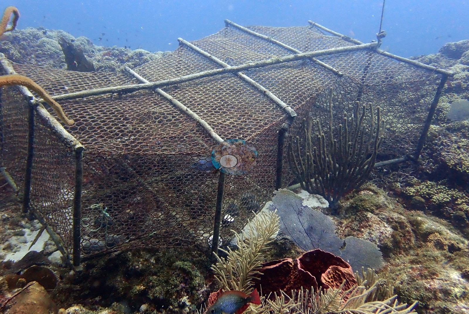
Windward Caribbean Islands (NOAA CRW virtual station)G Spot is a low, broad pavement reef whose signature feature is continuous mustard-yellow thickets of Madracis mirabilis carpeting entire mound tops, mixed with brain corals and massive heads under a gorgonian canopy of sea rods and plumes. One large mounding colony is flagged sickly with a discrete pale patch, another looks possibly bleached across its top in one frame, and a lobster trap sits on the reef.
Three independent survey stations shown with the program’s logo — click one to see how far it is from this site.
One other CRD dive site with its own page within 5 km shown in orange — click a marker to open its page.
This page shows 67 of the 92 photographs from this site, including every one the text cites.
Site description
Setting
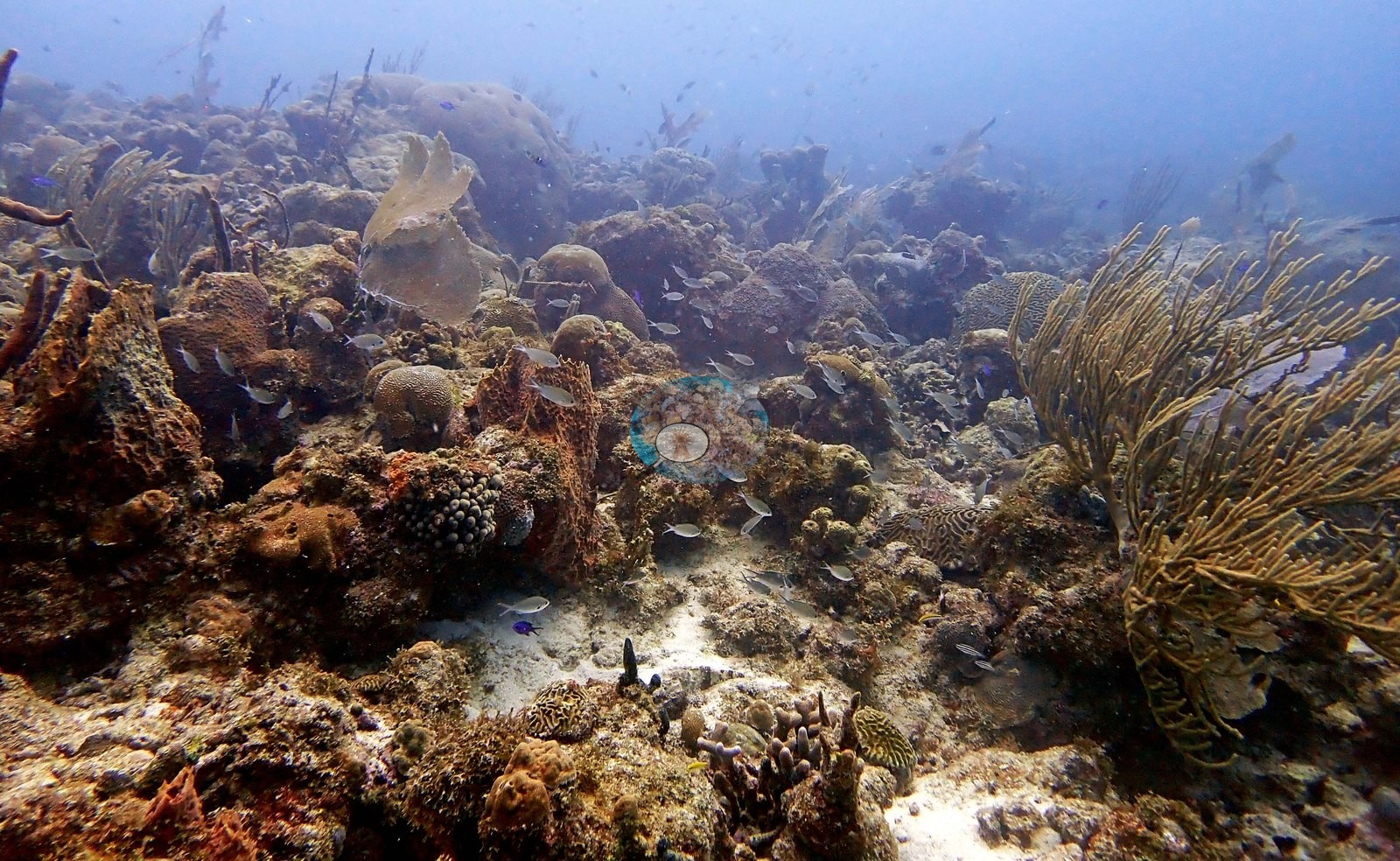
G Spot is a reef off the south coast of Barbados, placed just offshore of Oistins in Christ Church. The structure is low, broad, and continuous. Wide frames show a rolling carbonate ridge of coalesced mounds a meter or two high, its flanks running out into rippled white sand (e.g., Image 8, Image 9, Image 10, Image 66), with sand channels cutting between reef blocks (e.g., Image 36, Image 37, Image 43).
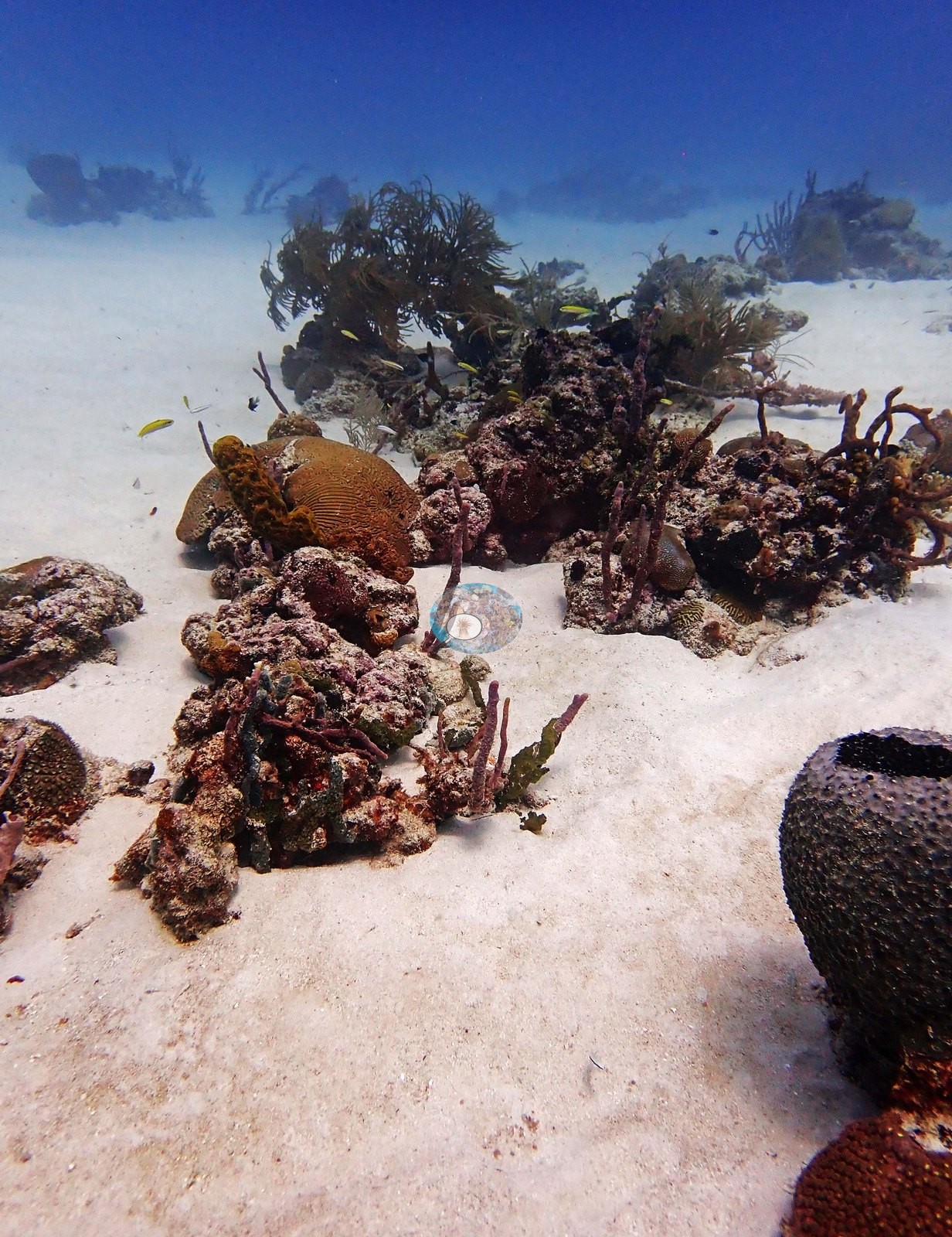
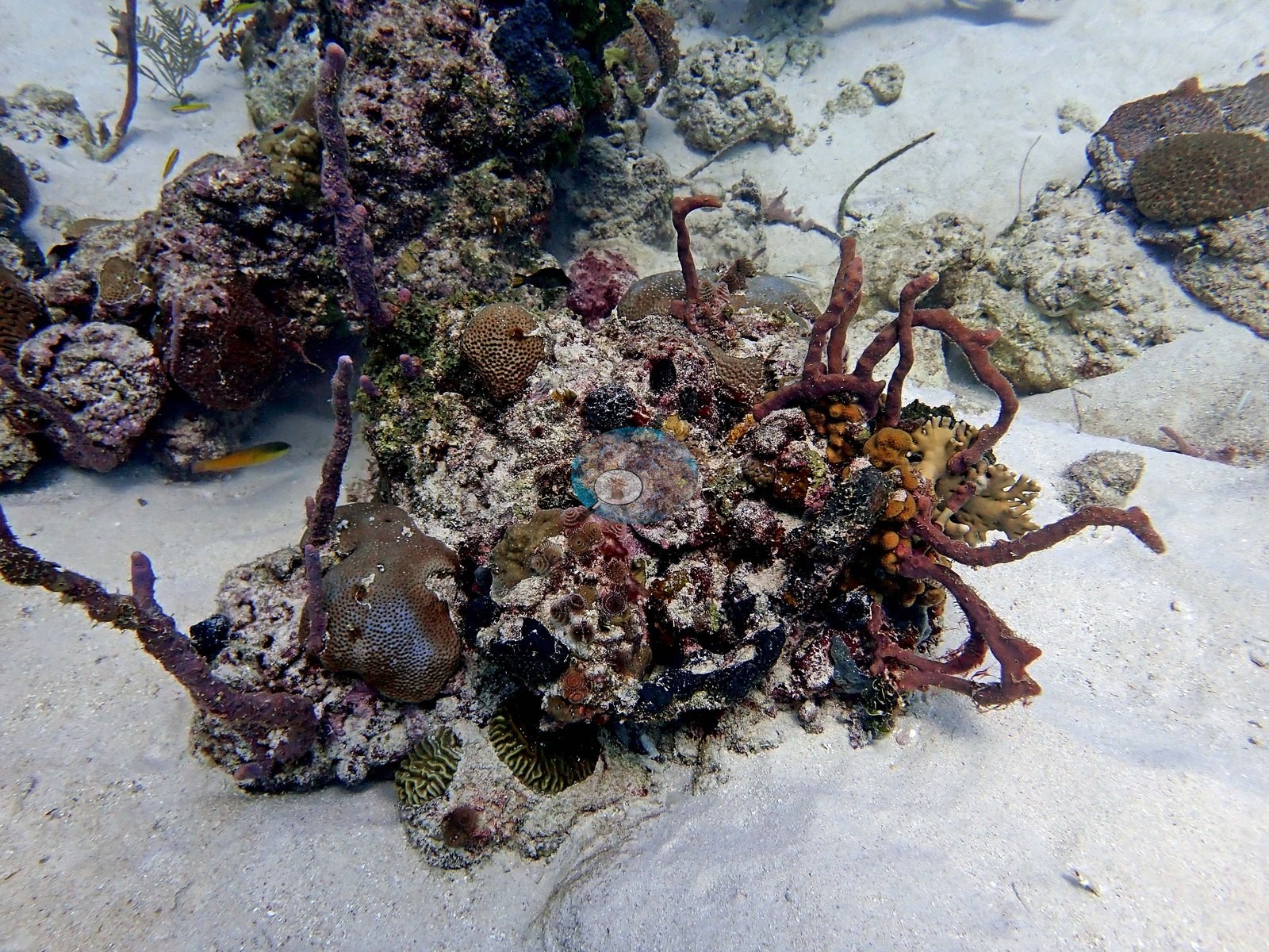
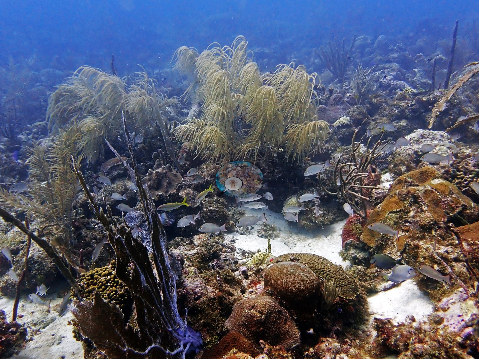
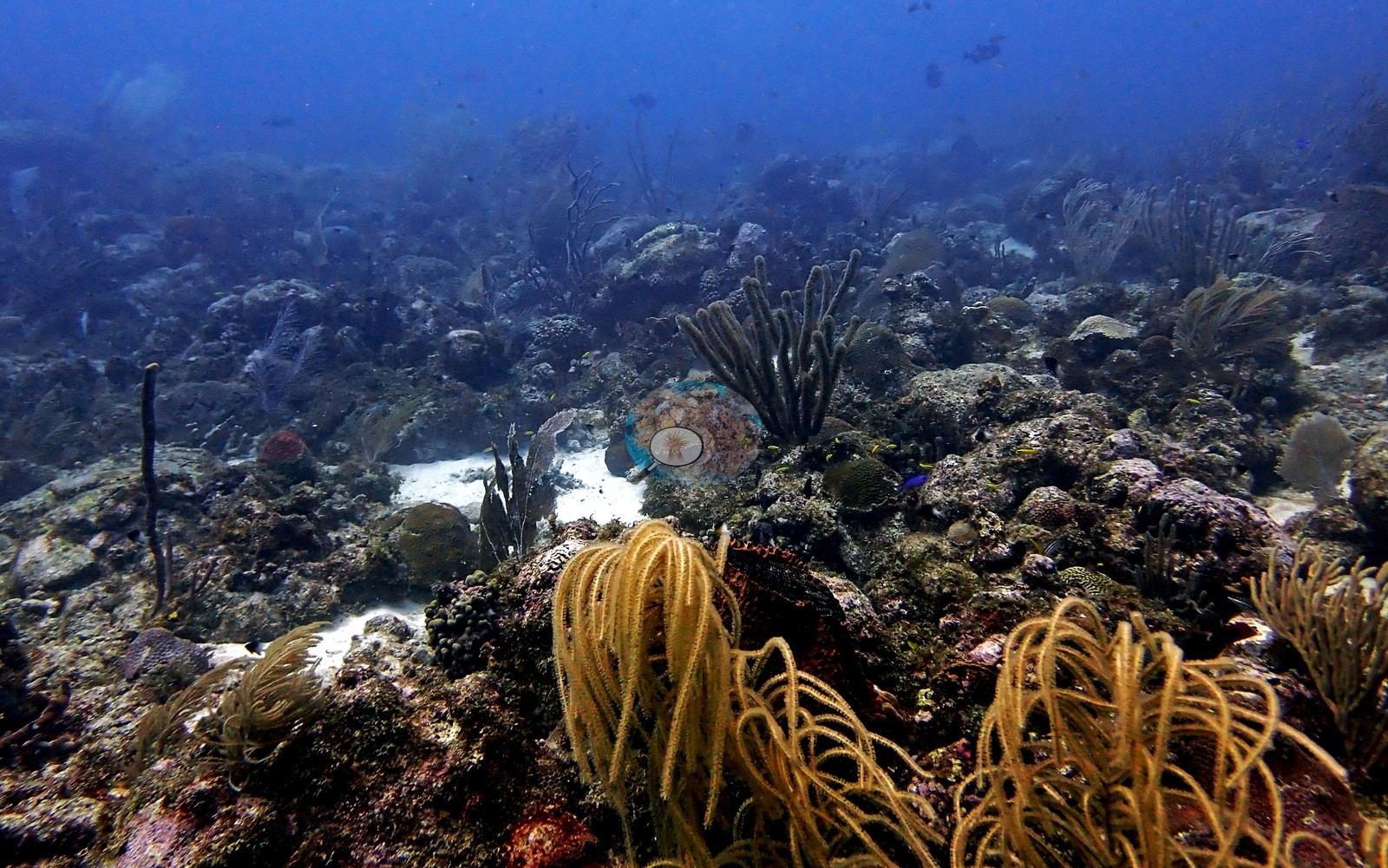
Nothing in the set shows a wall, spur-and-groove, or a vertical face; the whole dive is worked over the top and shoulders of the same shallow ridge.
General benthic features
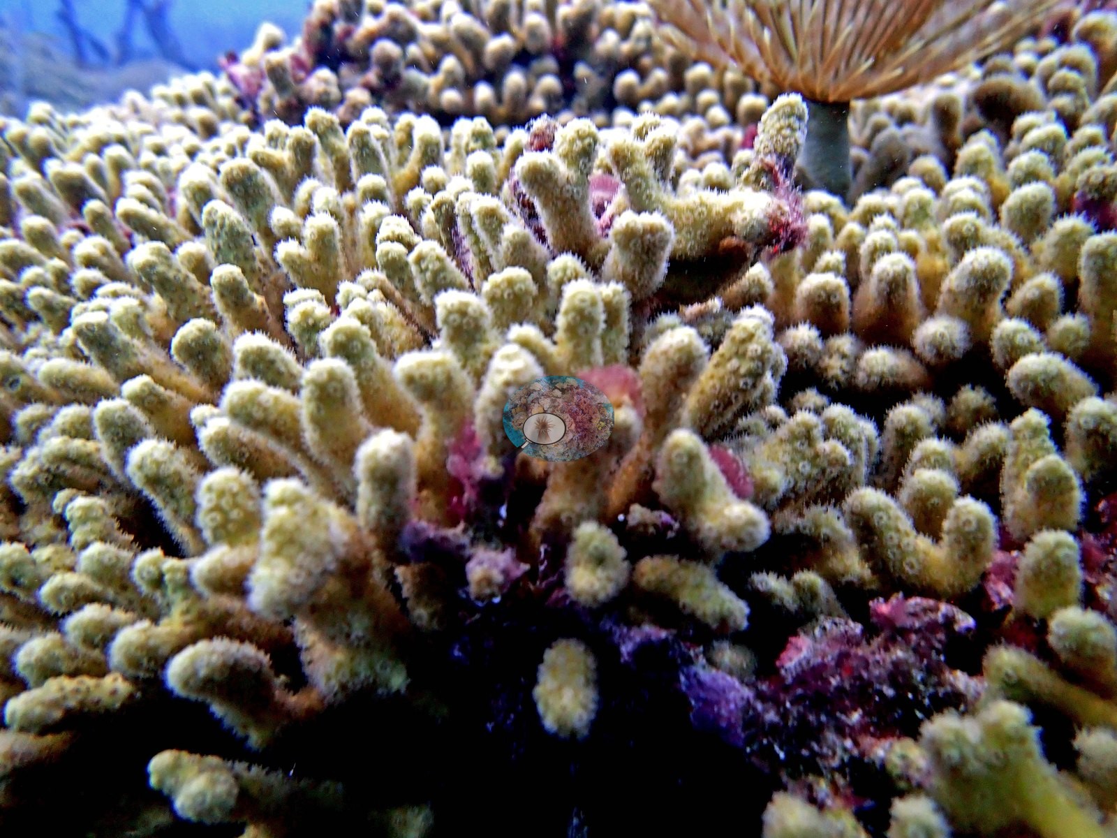
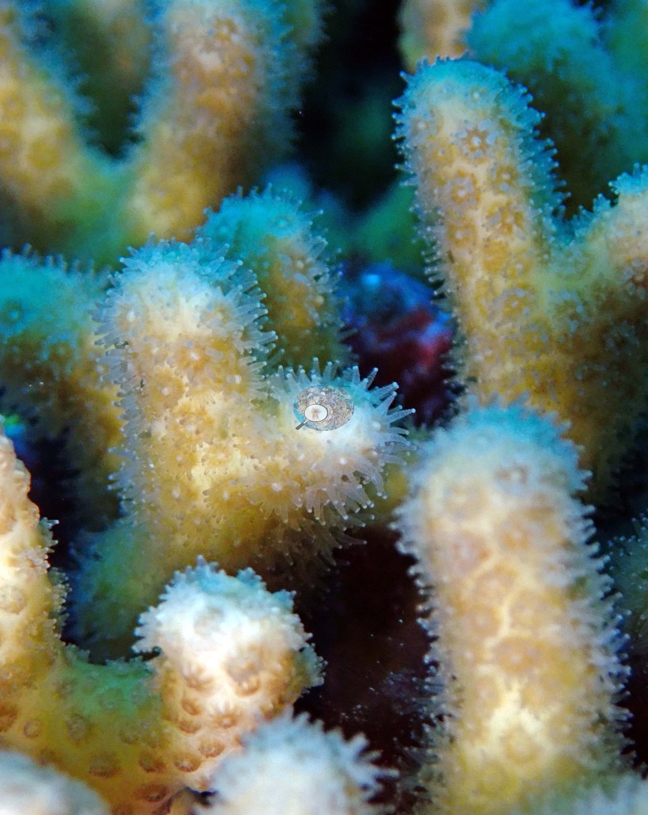
What covers that ridge, over and over across the set, is branching coral Anderson identified as Madracis mirabilis (e.g., Image 77, Image 78, Image 79, Image 83).
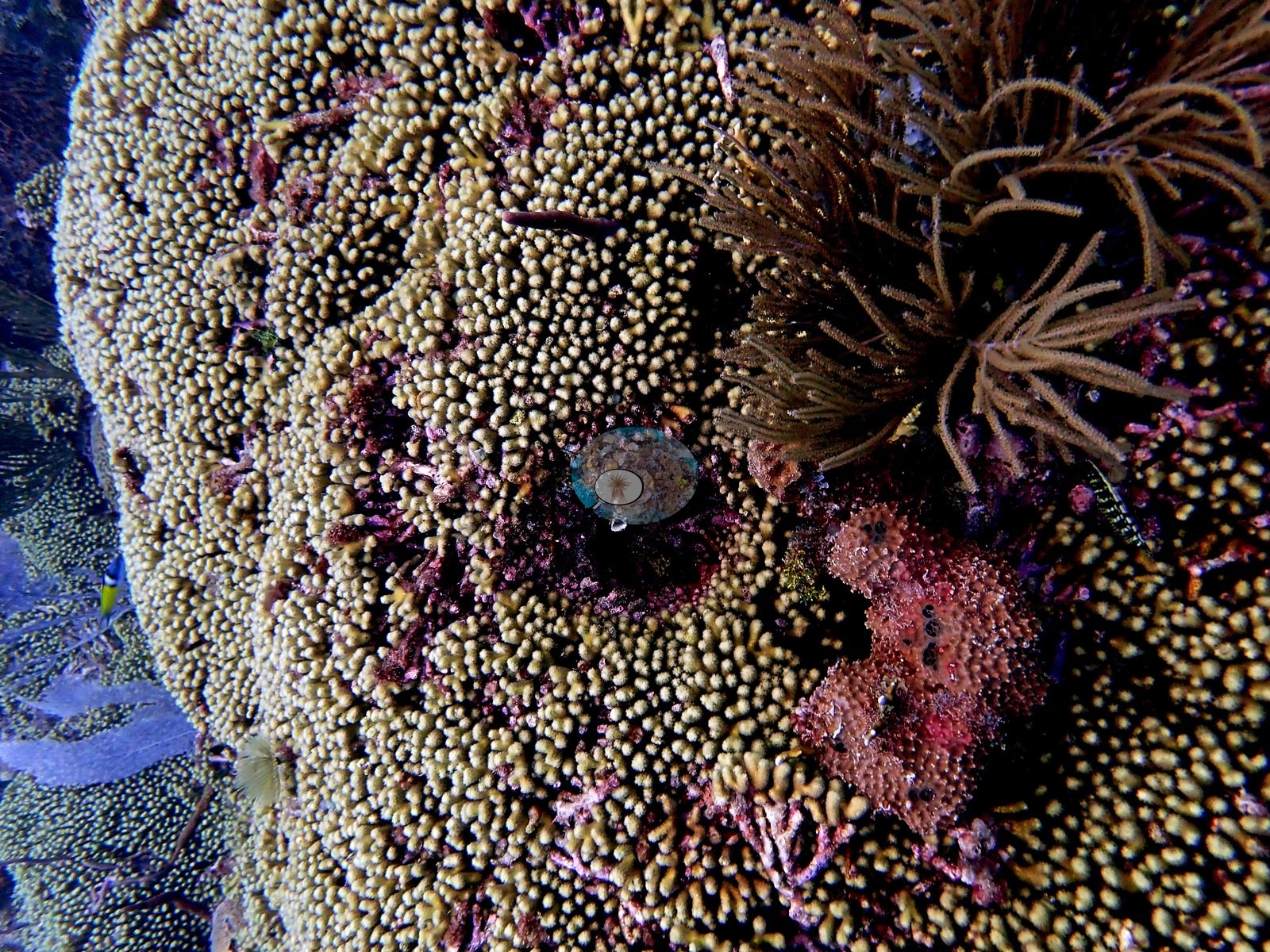
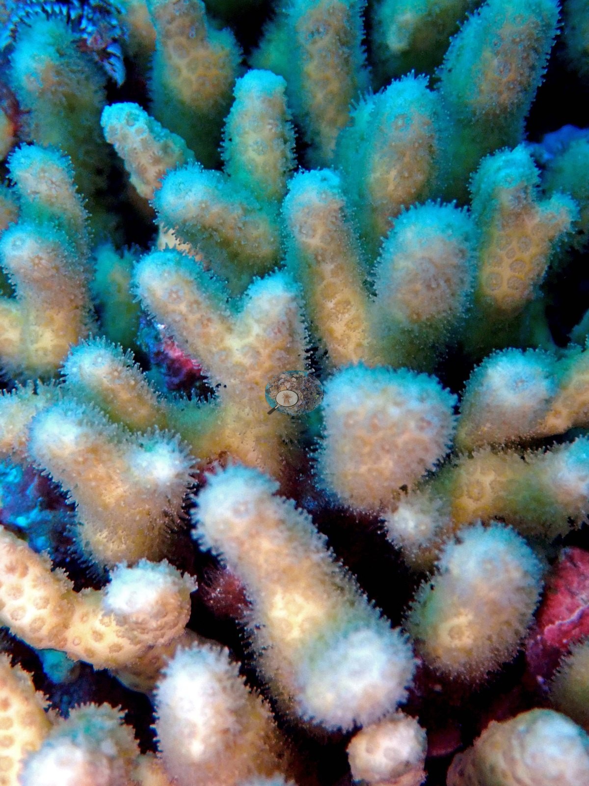
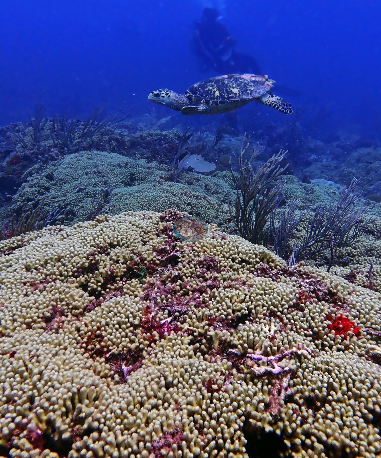
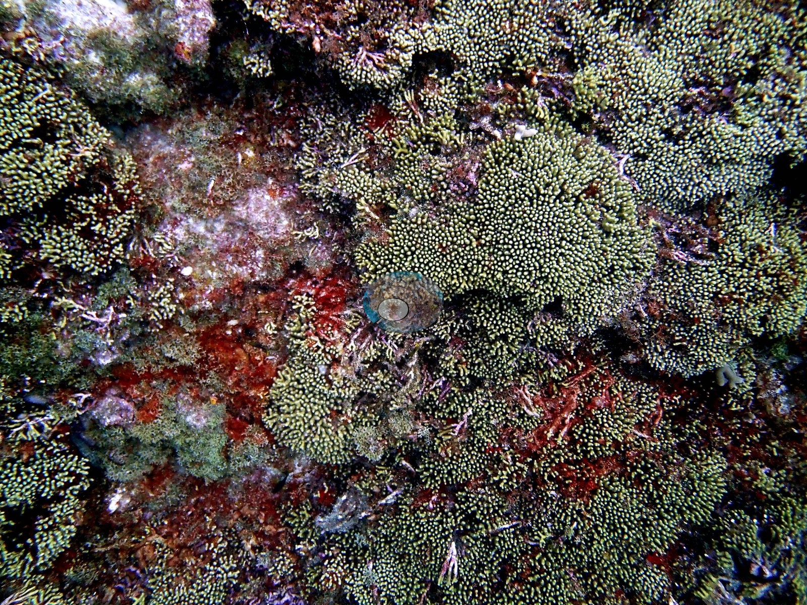
It forms mustard-yellow thickets of short, blunt, tightly packed fingers that carpet entire mound tops — not as scattered colonies but as continuous panels several meters across (e.g., Image 19, Image 20, Image 23, Image 24, Image 25, Image 26, Image 27, Image 28, Image 30, Image 31, Image 32, Image 47, Image 48, Image 49, Image 50, Image 52, Image 57, Image 60).
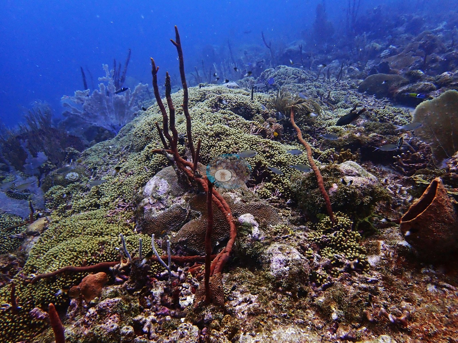
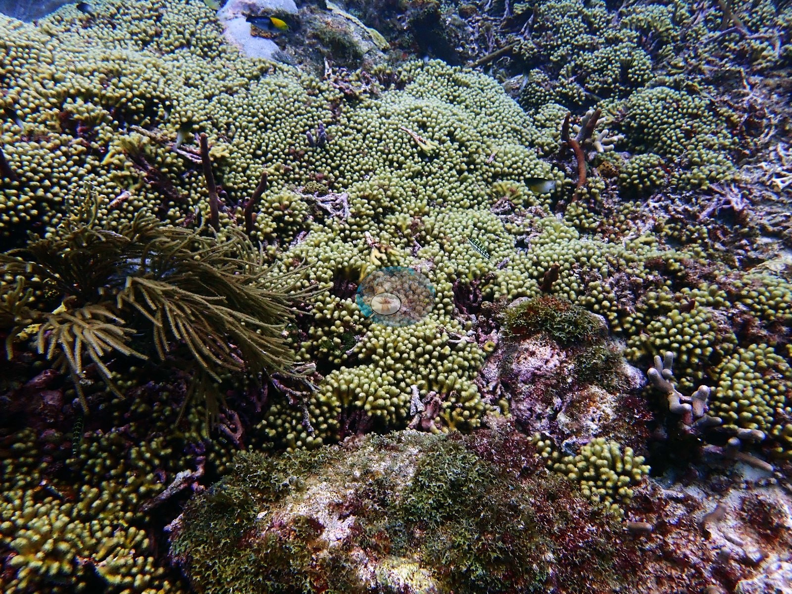
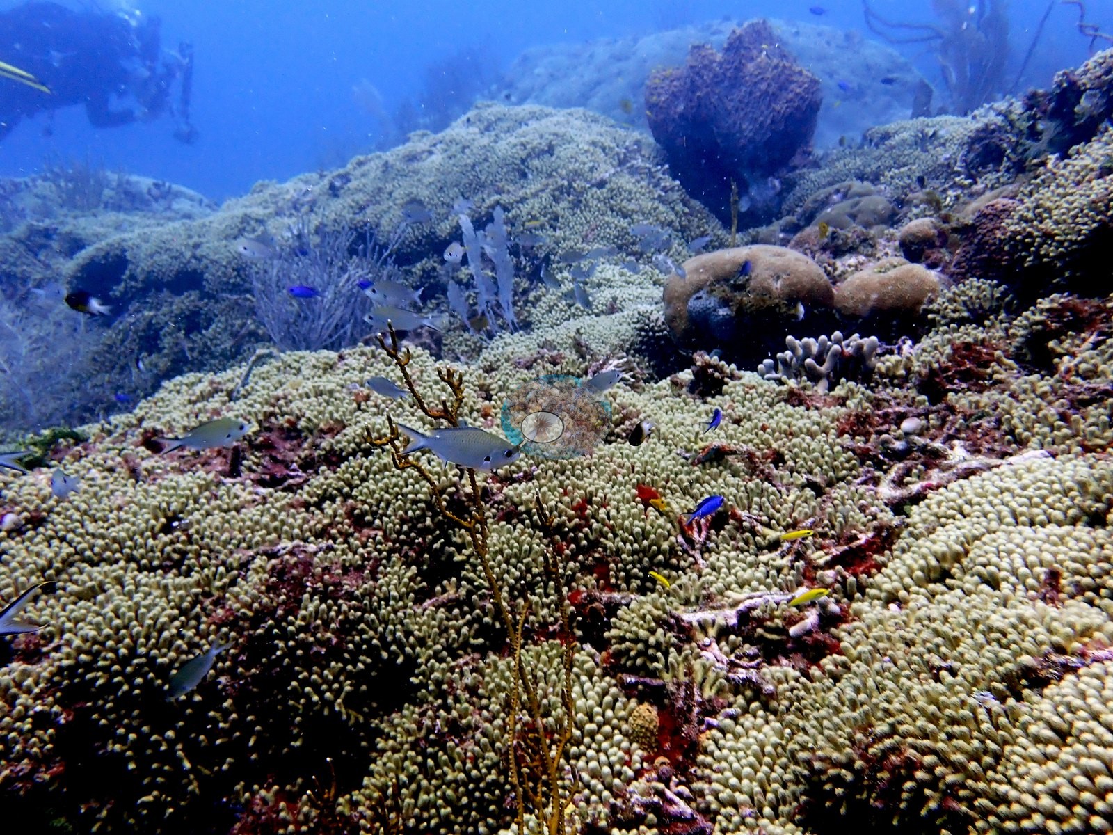
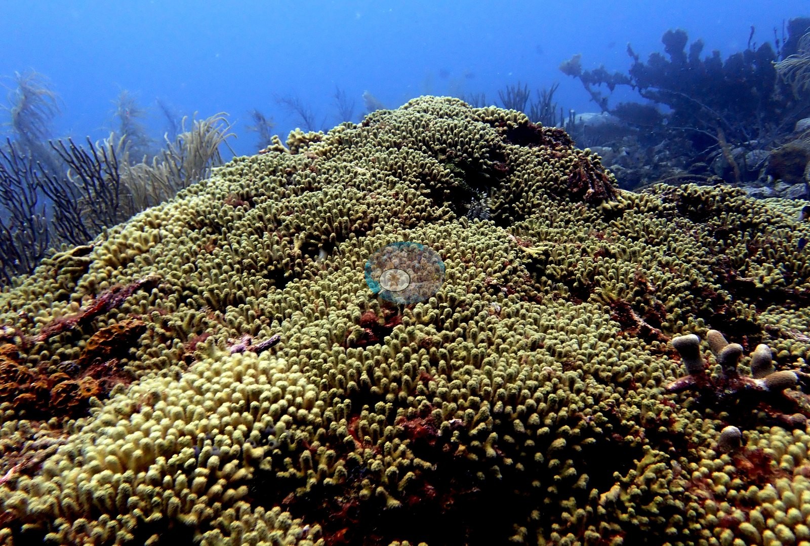
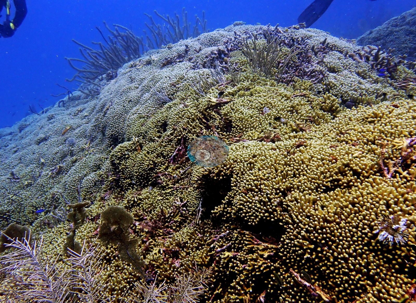
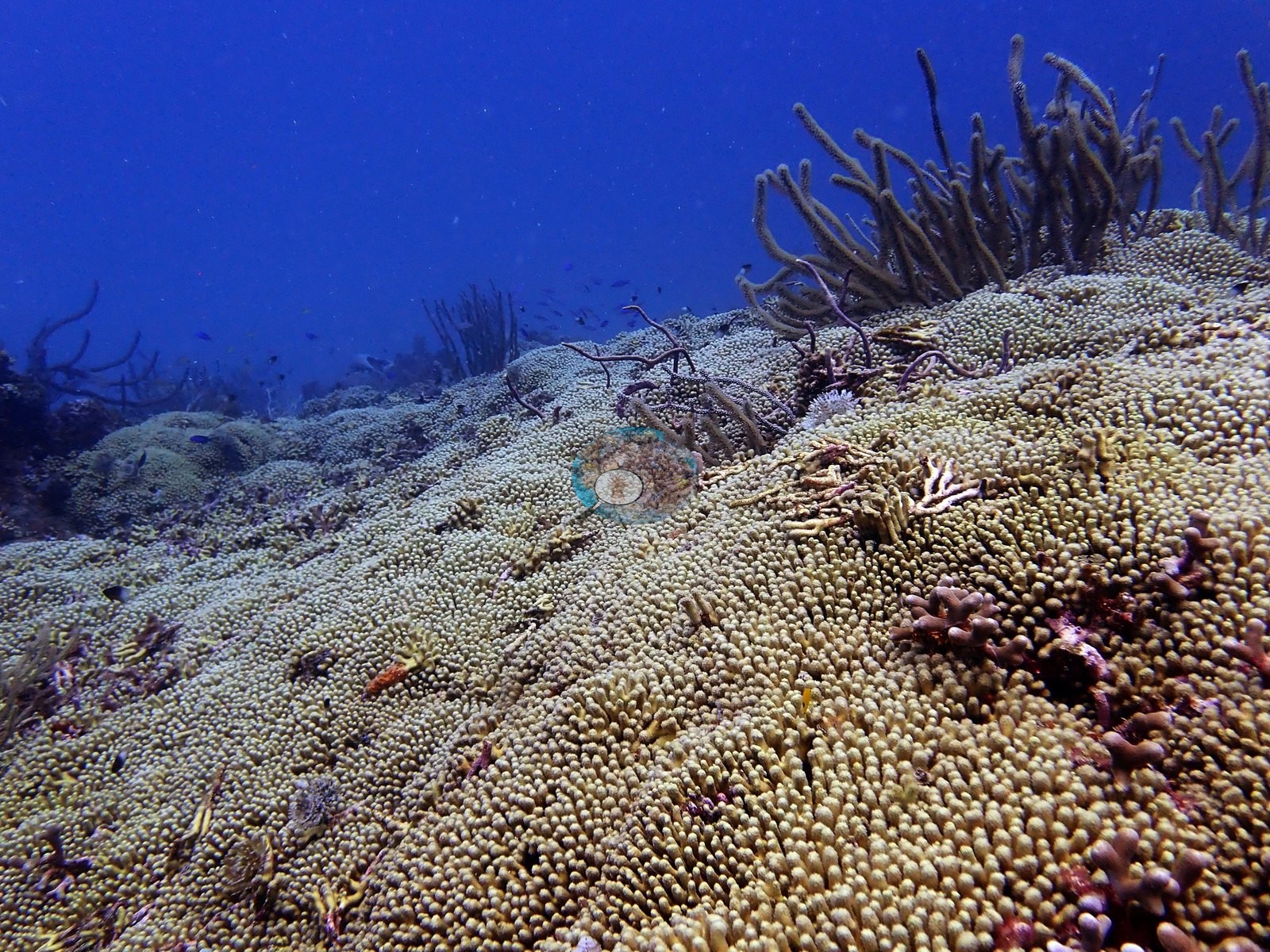
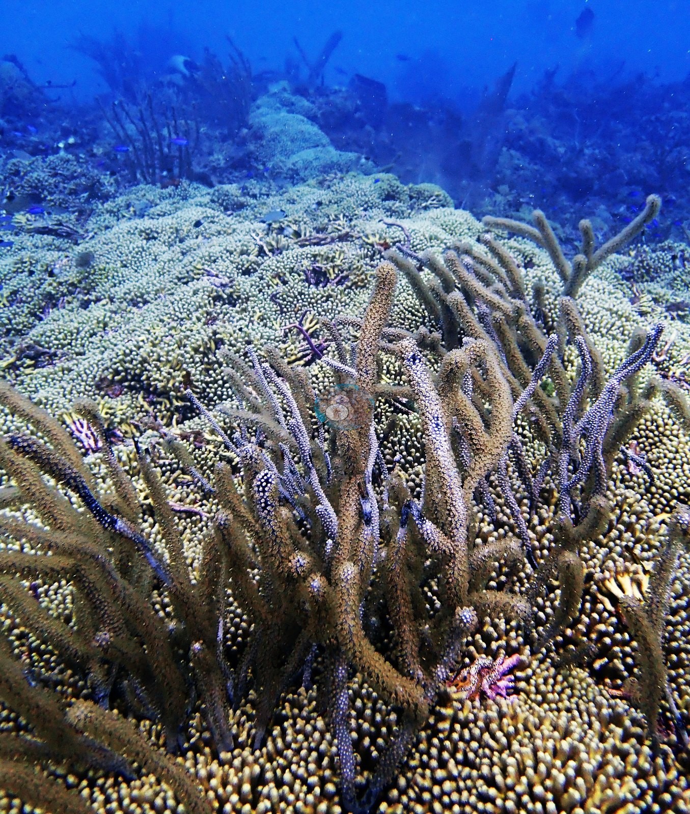
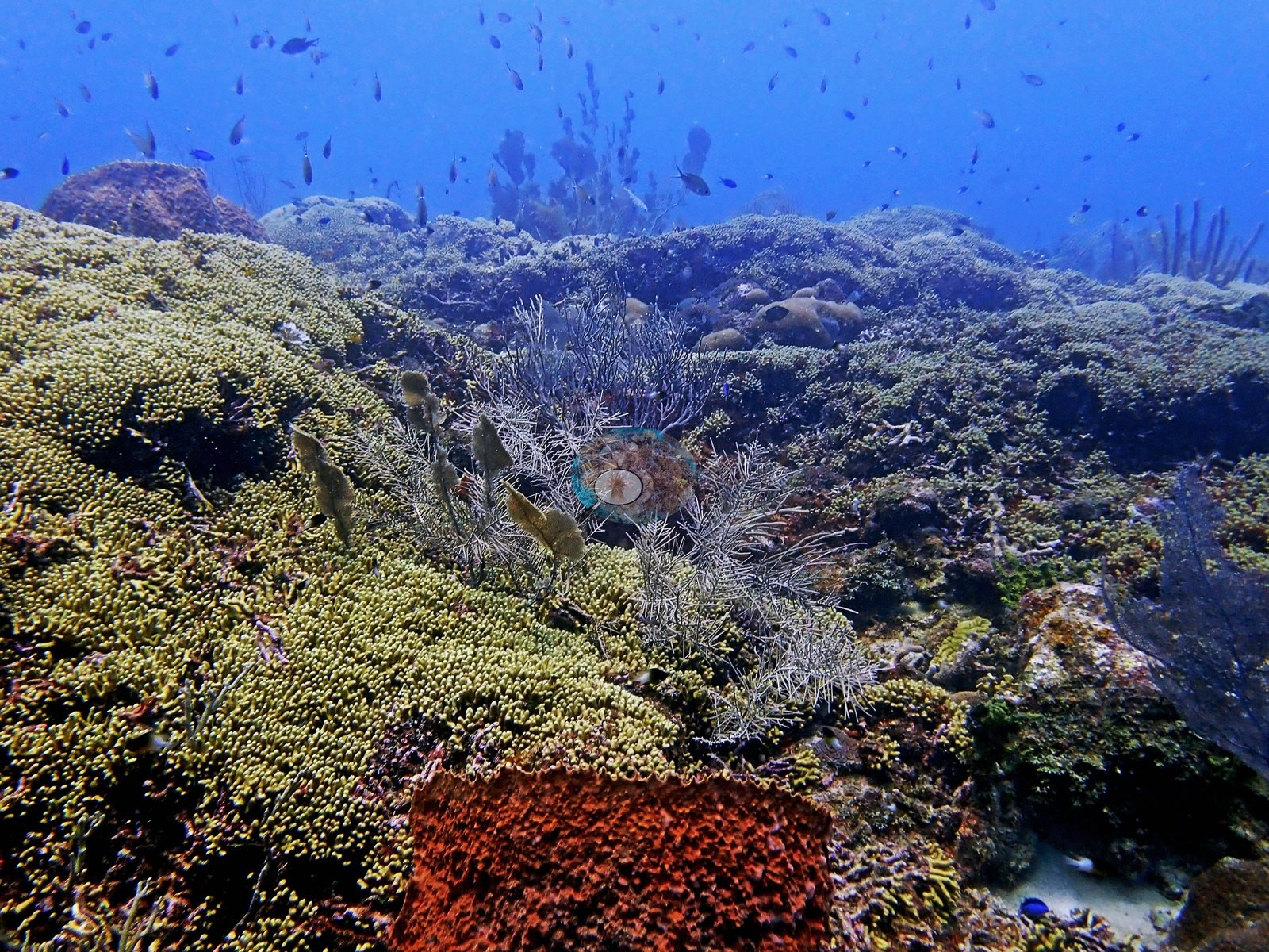
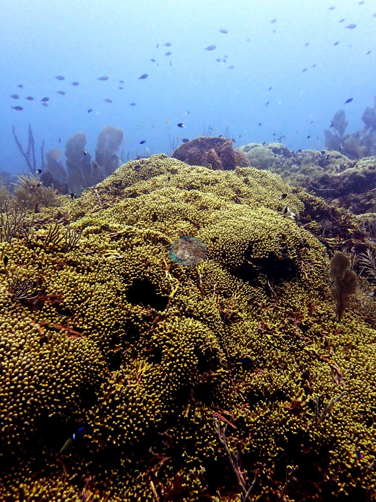
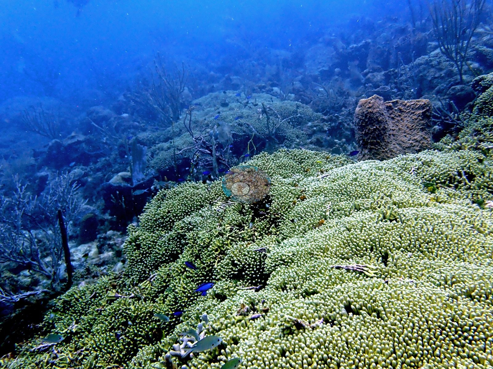
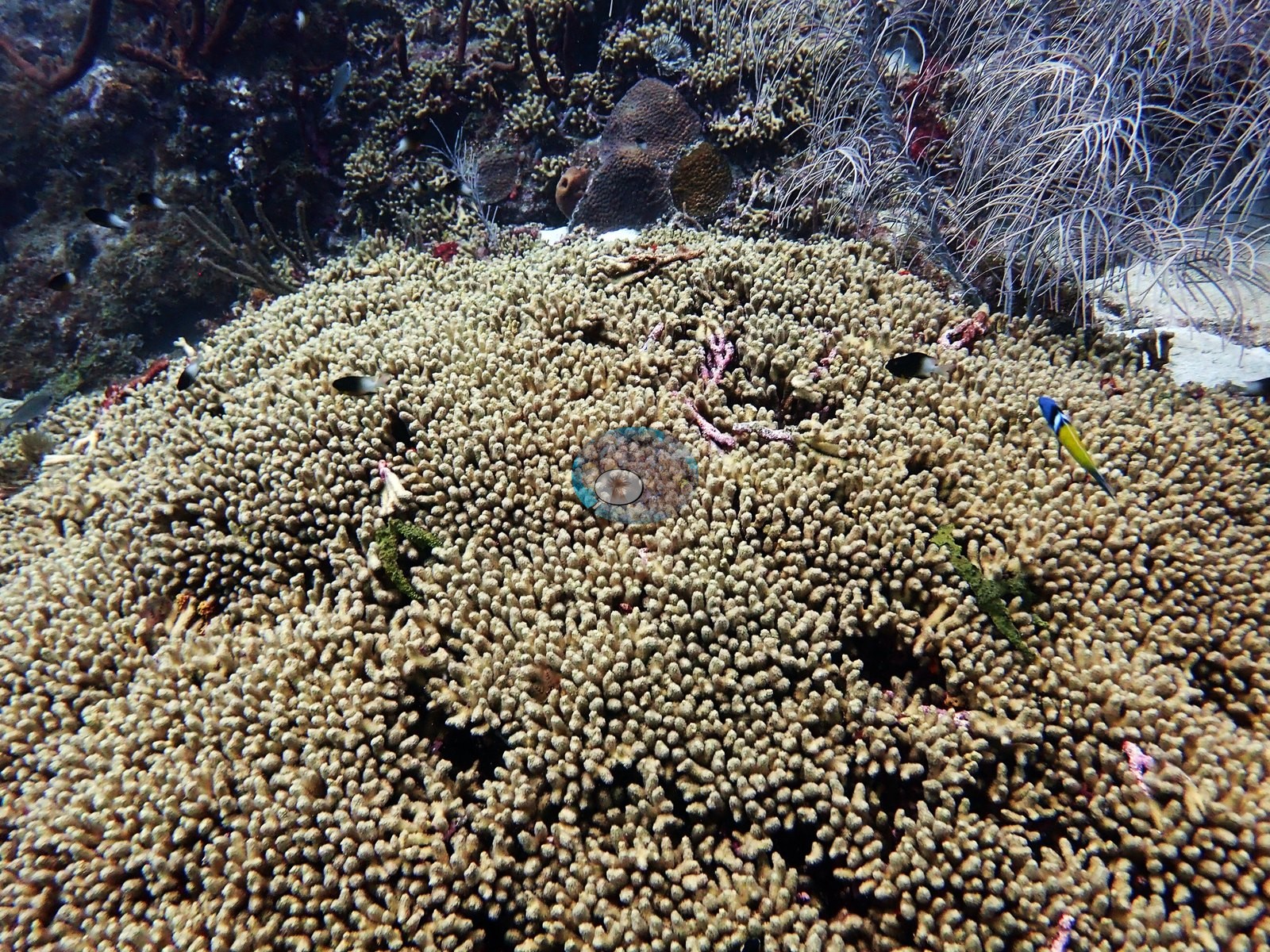
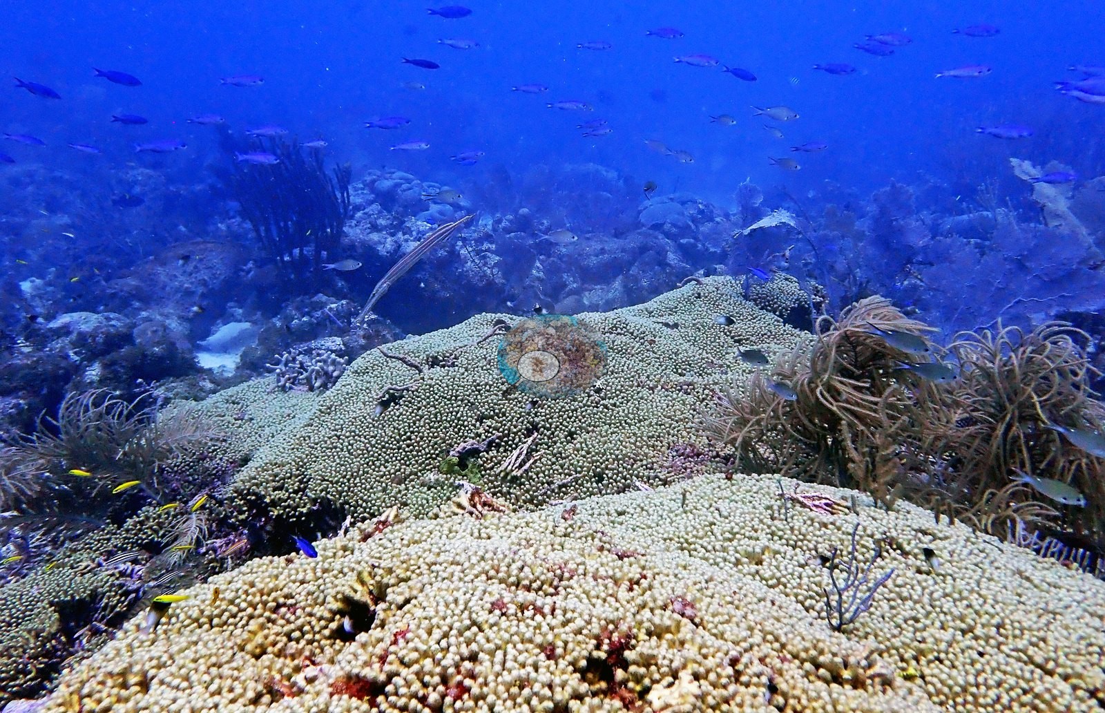
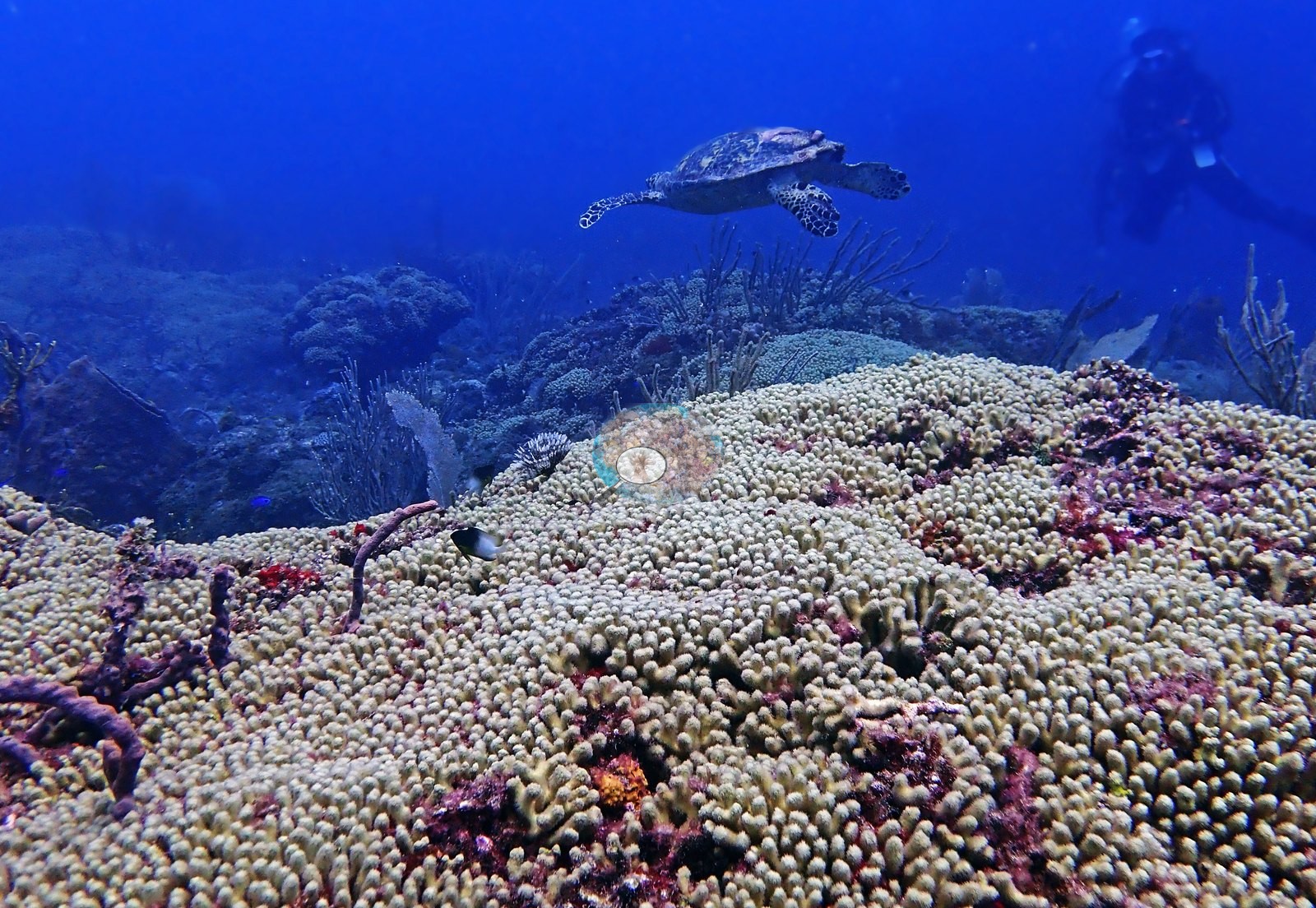
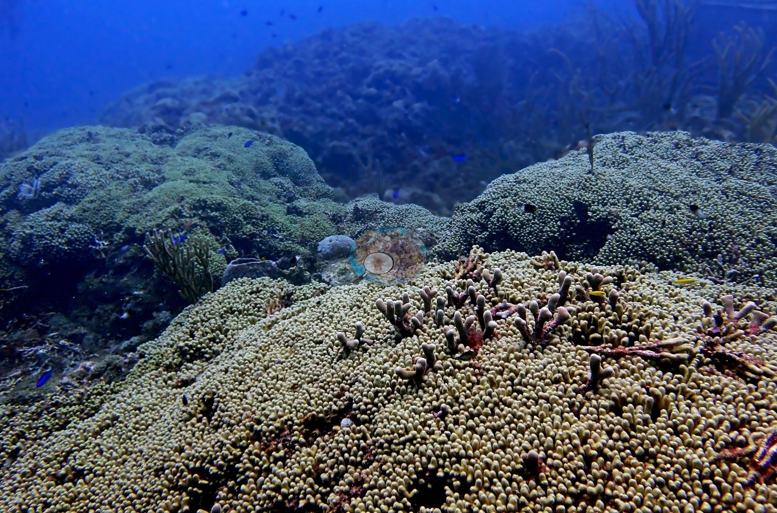
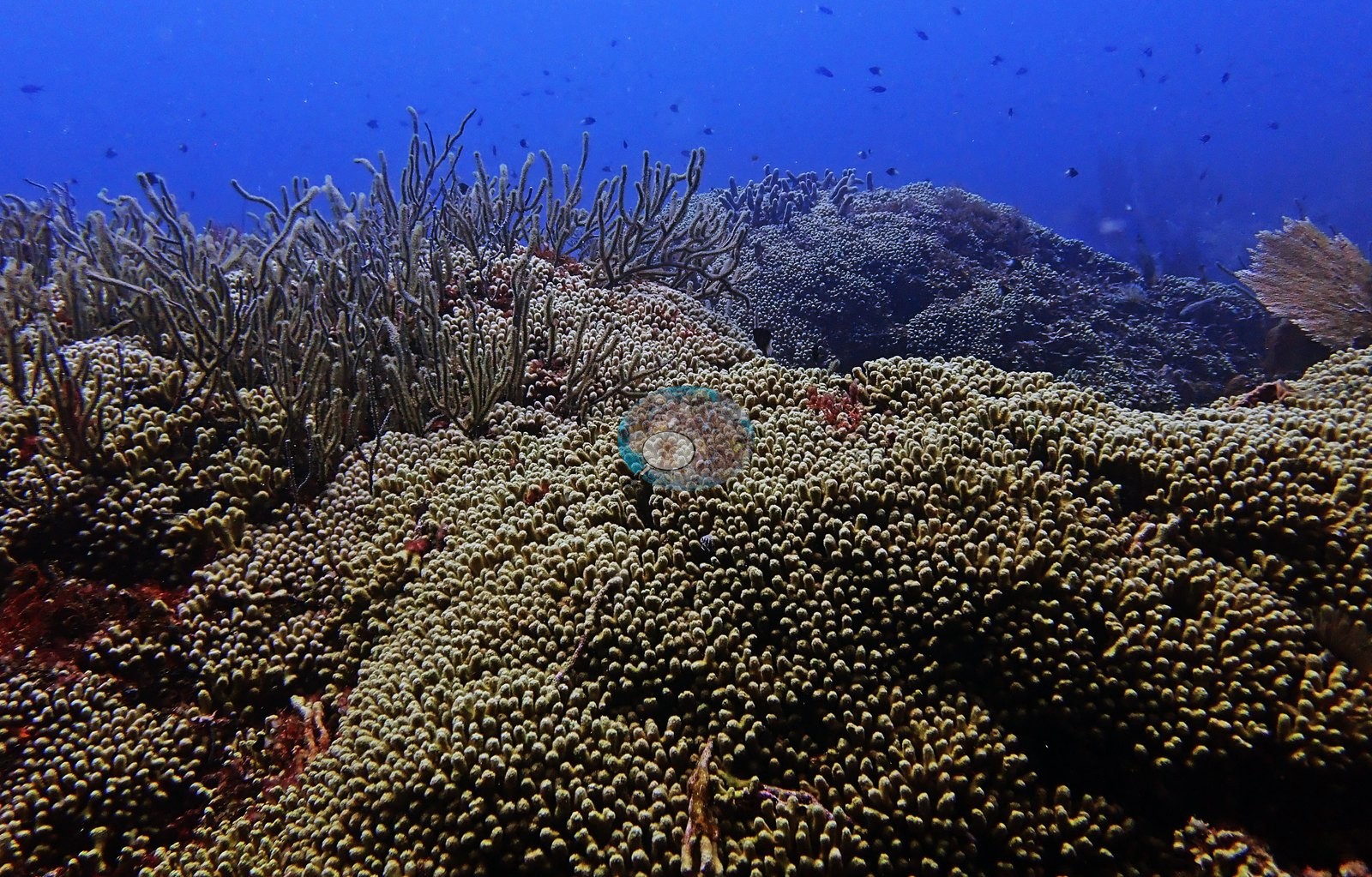
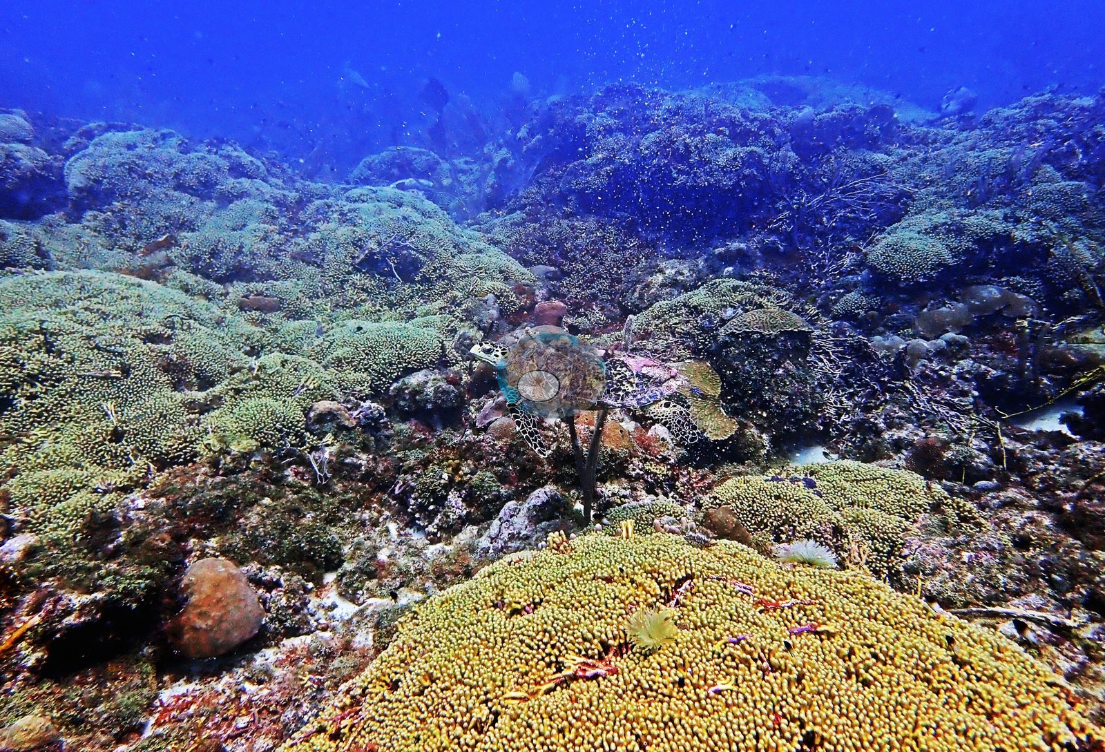
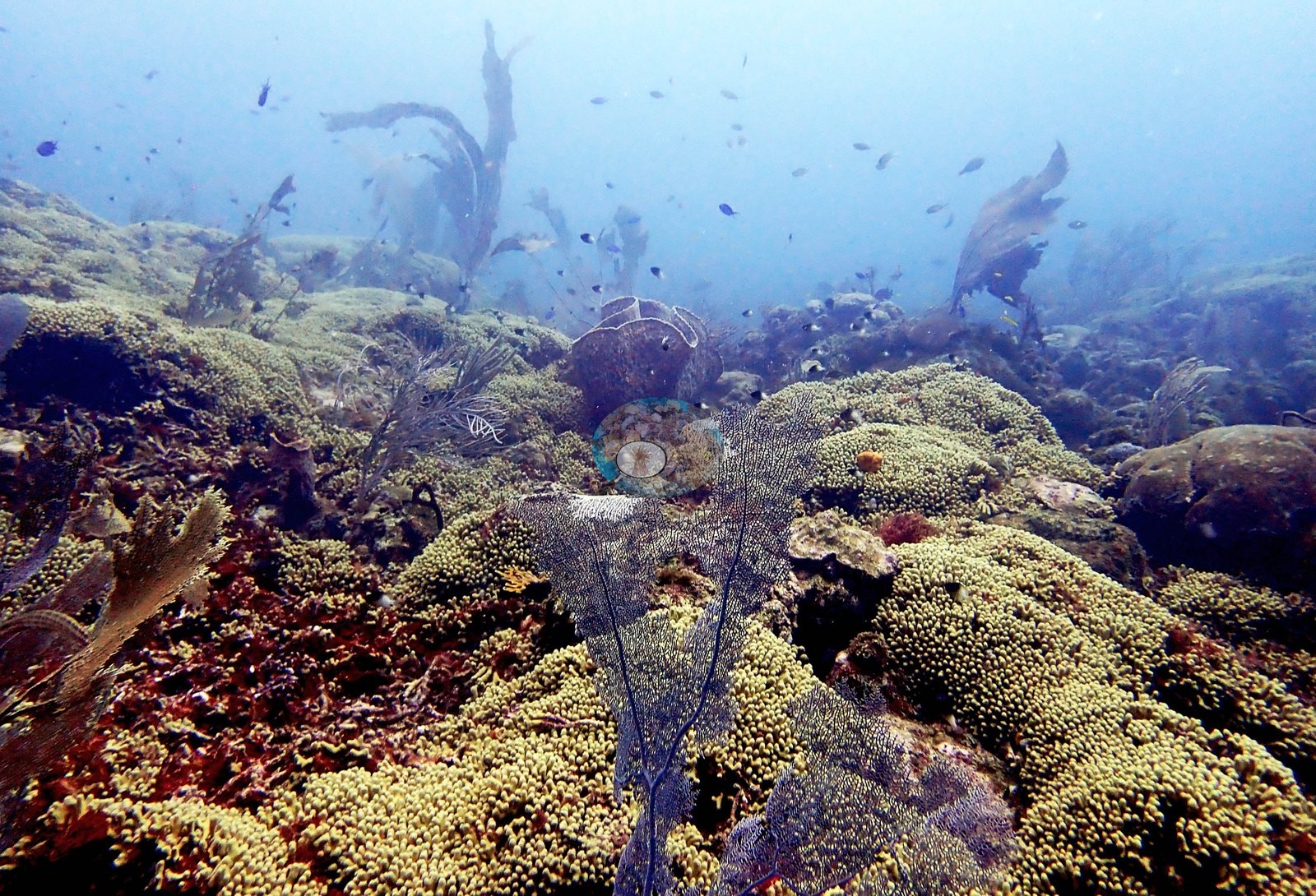
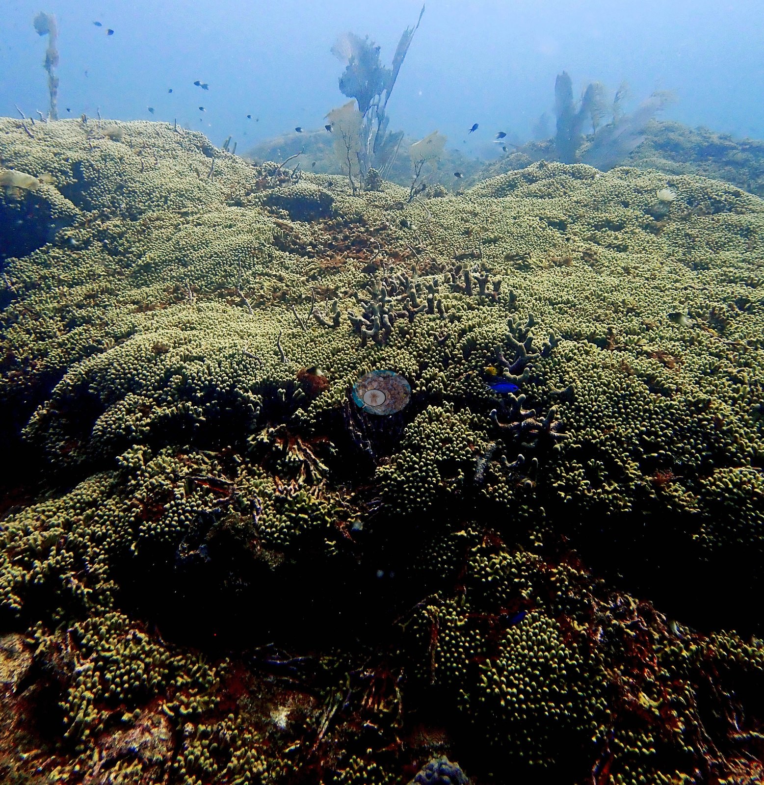
In Image 31 and Image 49 the thicket runs unbroken to the limit of visibility. Close-ups show live, extended polyps and pale growing tips with pink coralline algae and small red sponges filling the interstices (e.g., Image 21, Image 29).
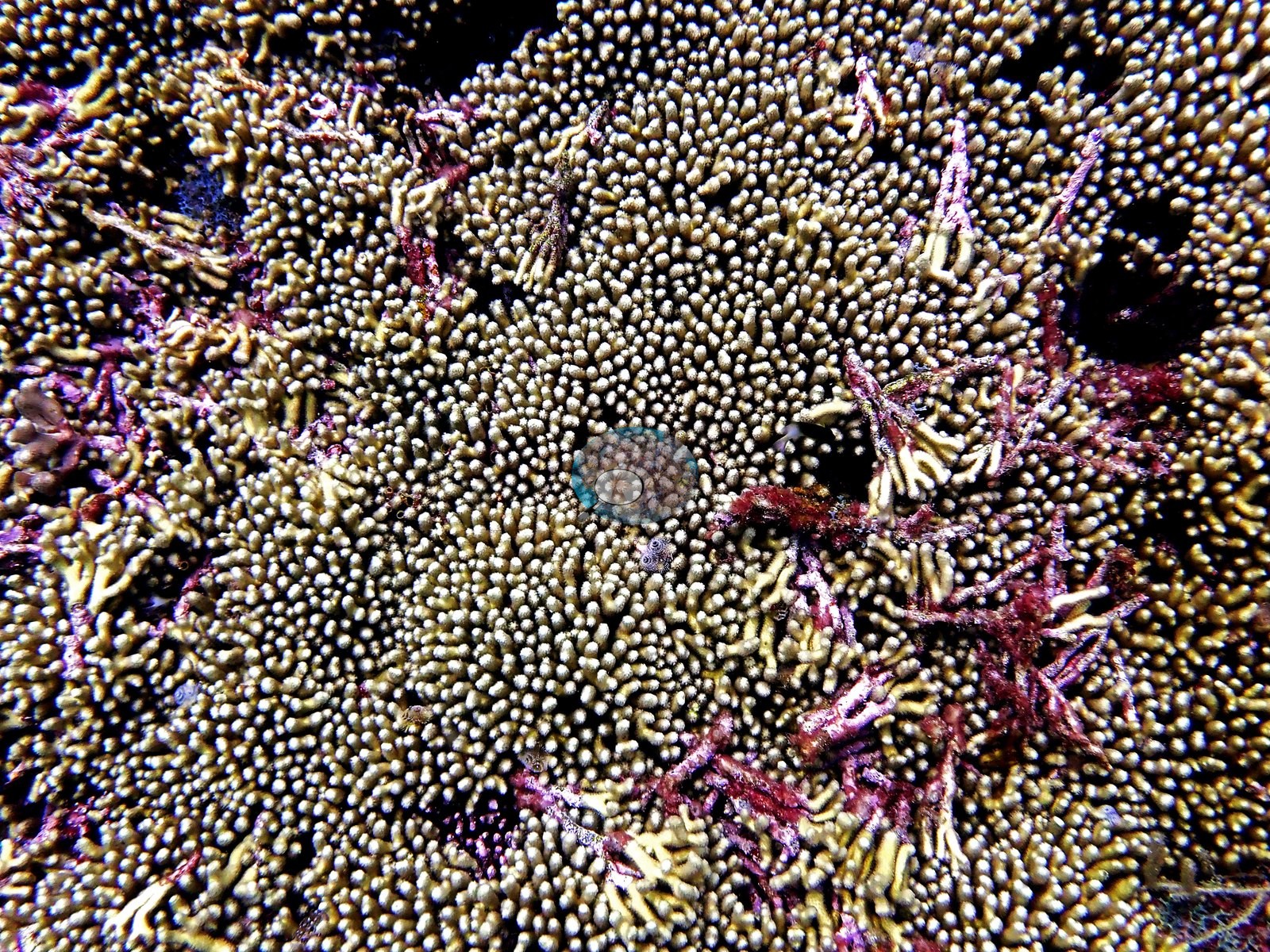
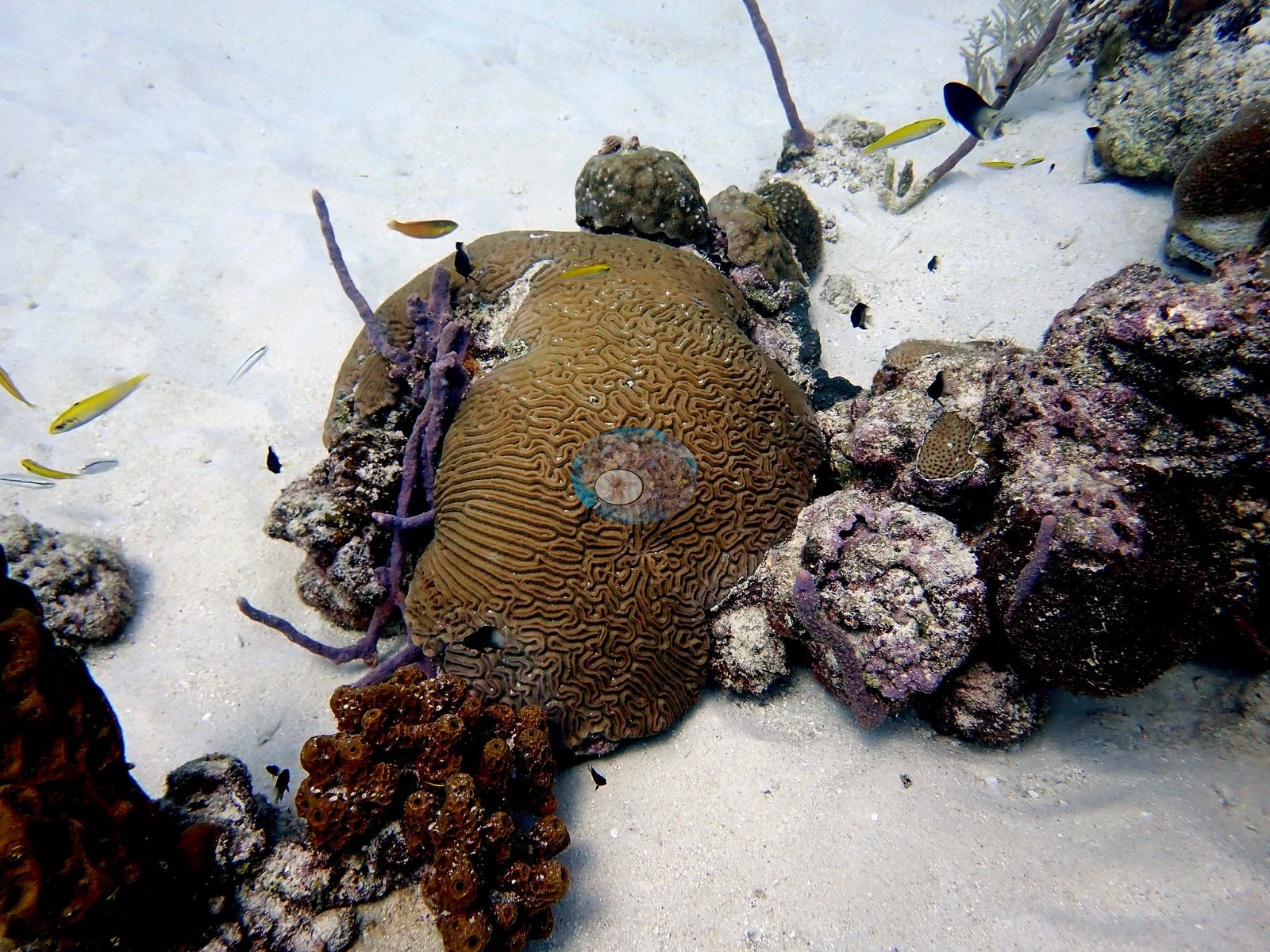
This is the single most characteristic feature of the site. Around and between the Madracis fields the hard coral assemblage is mixed and mostly massive or encrusting: dome-shaped and encrusting heads of several kinds (e.g., Image 14, Image 15, Image 40, Image 41, Image 61, Image 69, Image 70, Image 72), and repeated grooved brain-type colonies — some 30-50 cm across, meandering-ridged, in one frame two colonies of different pattern pressed edge to edge along a visible contact line, labeled as competition between colonies (e.g., Image 10, Image 65, Image 69, Image 71, Image 72, Image 73).
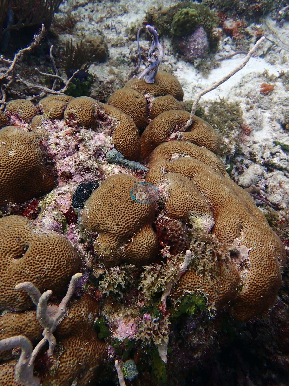
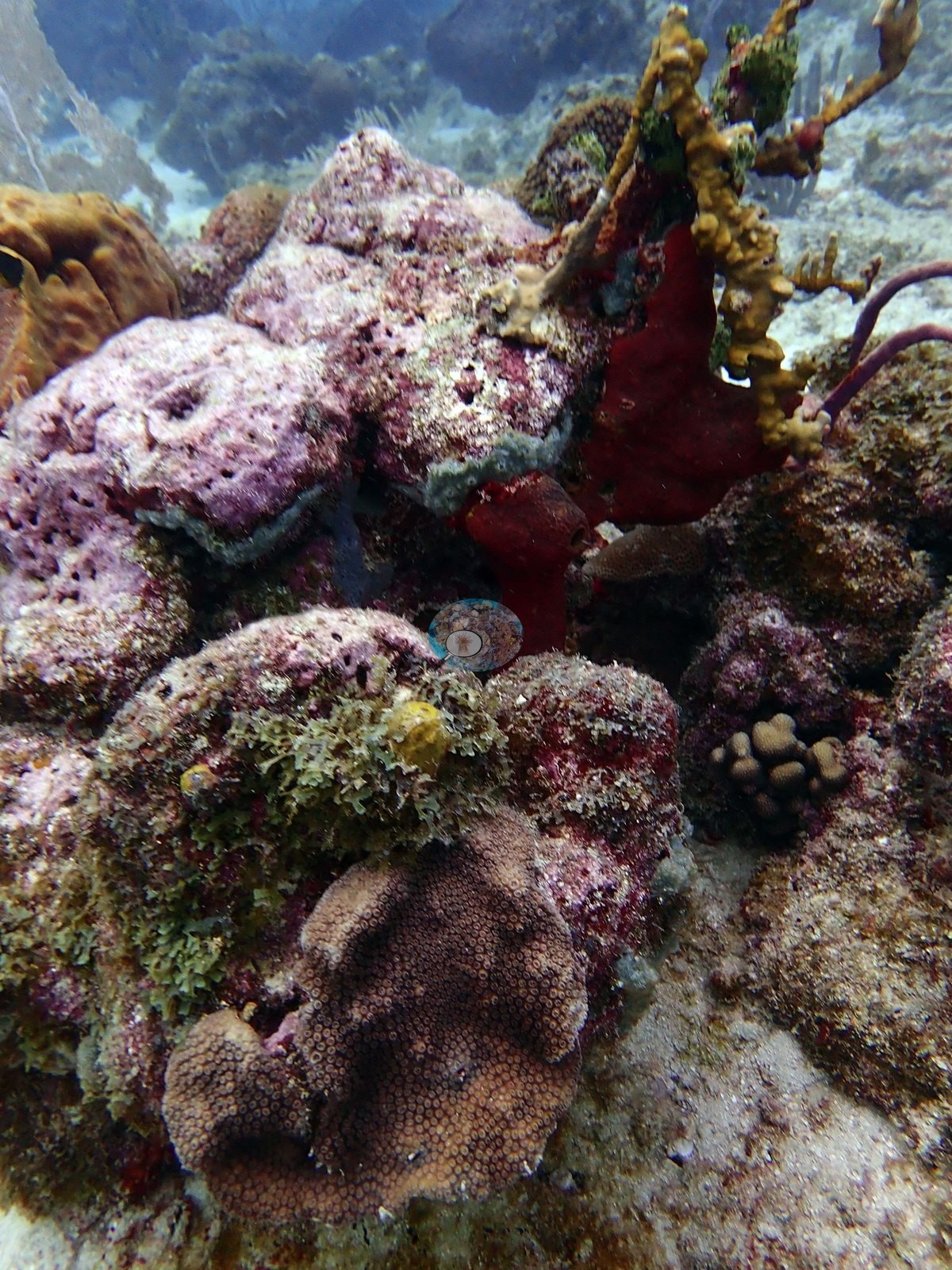
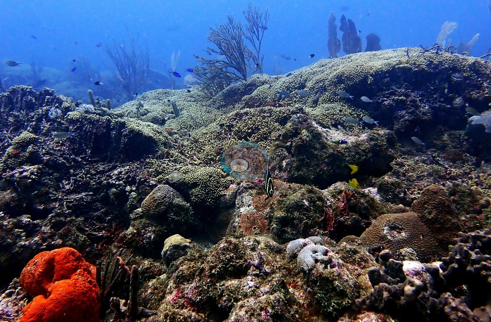
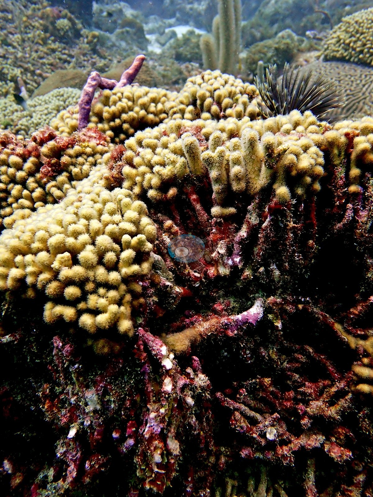
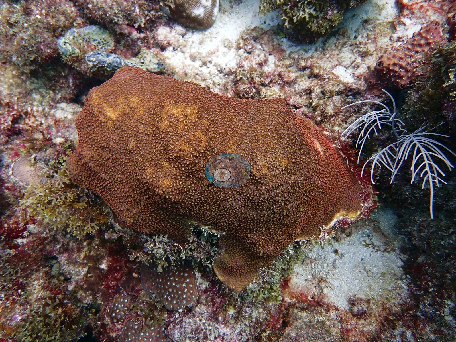
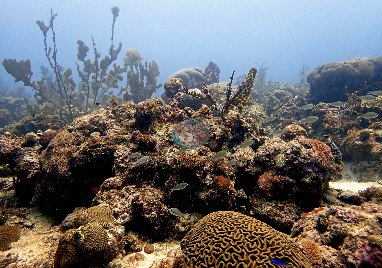
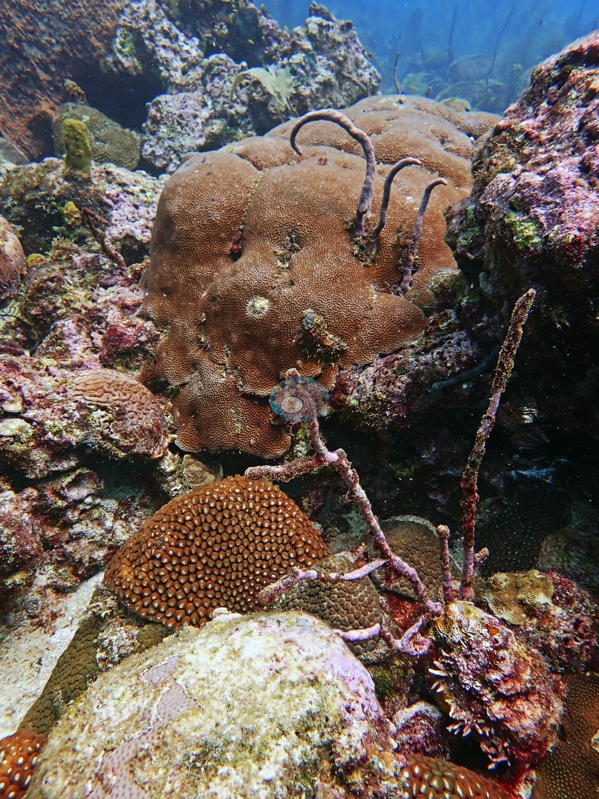
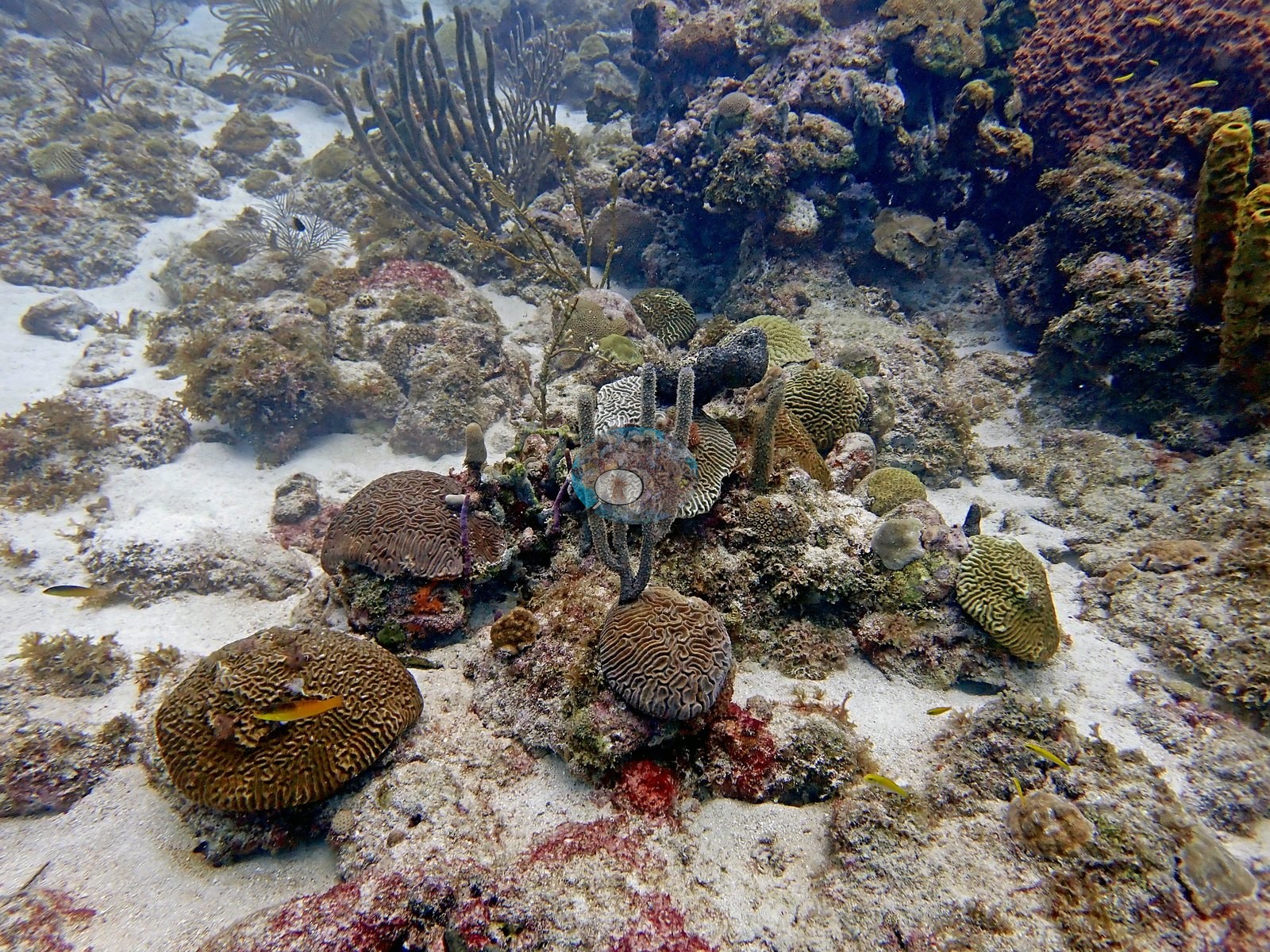
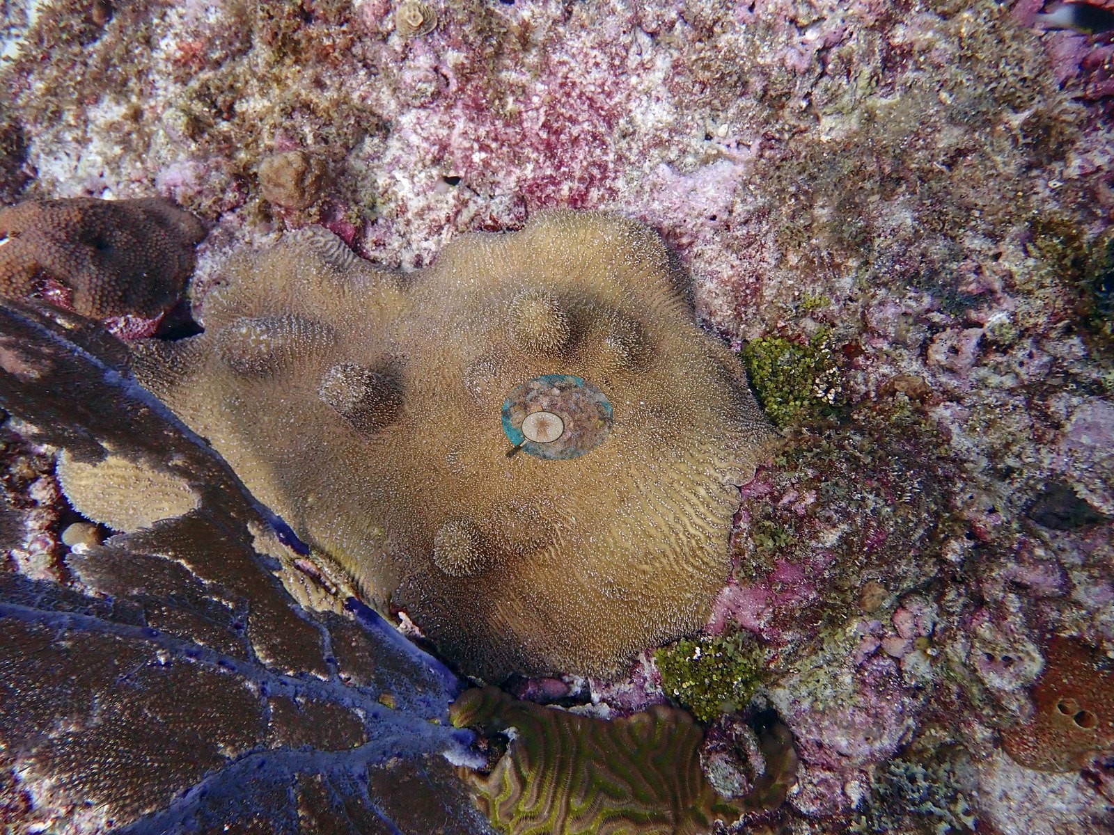
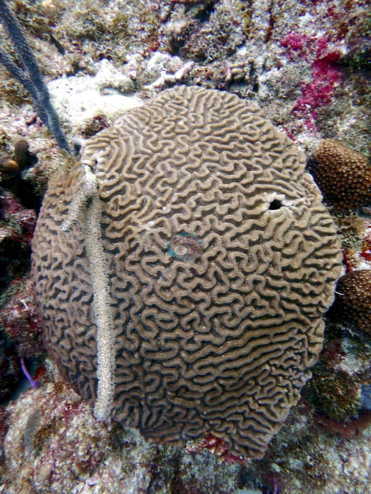
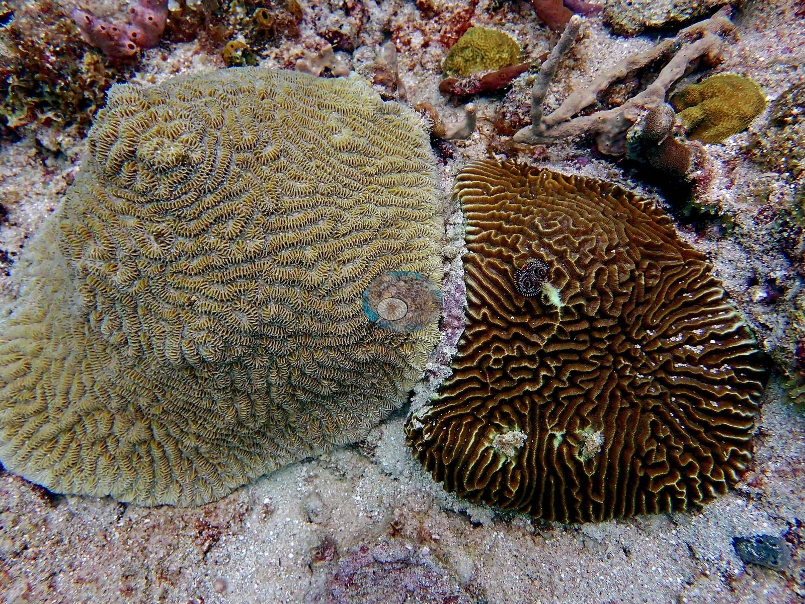
From photographs the grooved brain colonies cannot be separated between Pseudodiploria and Colpophyllia, and neither is asserted here. Anderson photographs one large flat-topped mounding colony with fine even polyps and a discrete pale-yellow patch on its upper surface and recorded it as an unhealthy Montastraea (e.g., Image 81).
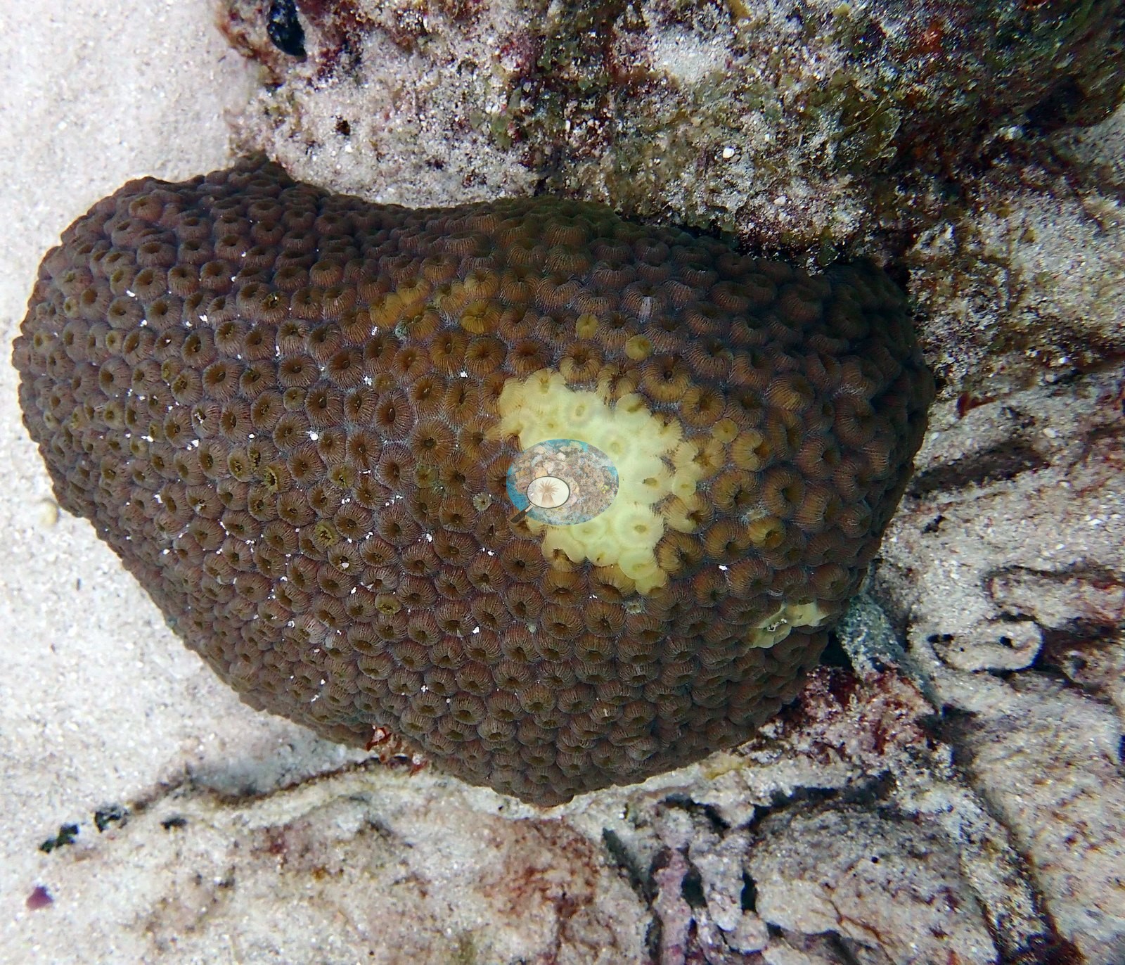
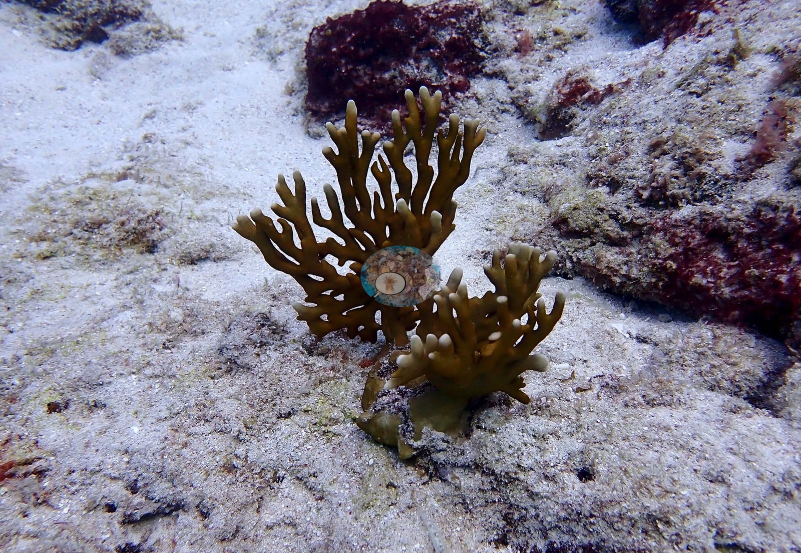
A thick, knobby, blunt-branched finger coral (e.g., Image 80) grows in a mixed panel with sponges and coralline crust, and a small upright colony of fire coral is photographed on open pavement (e.g., Image 74).
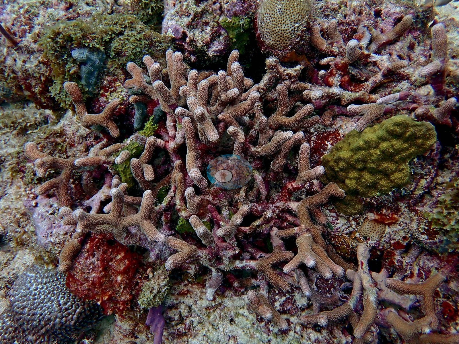
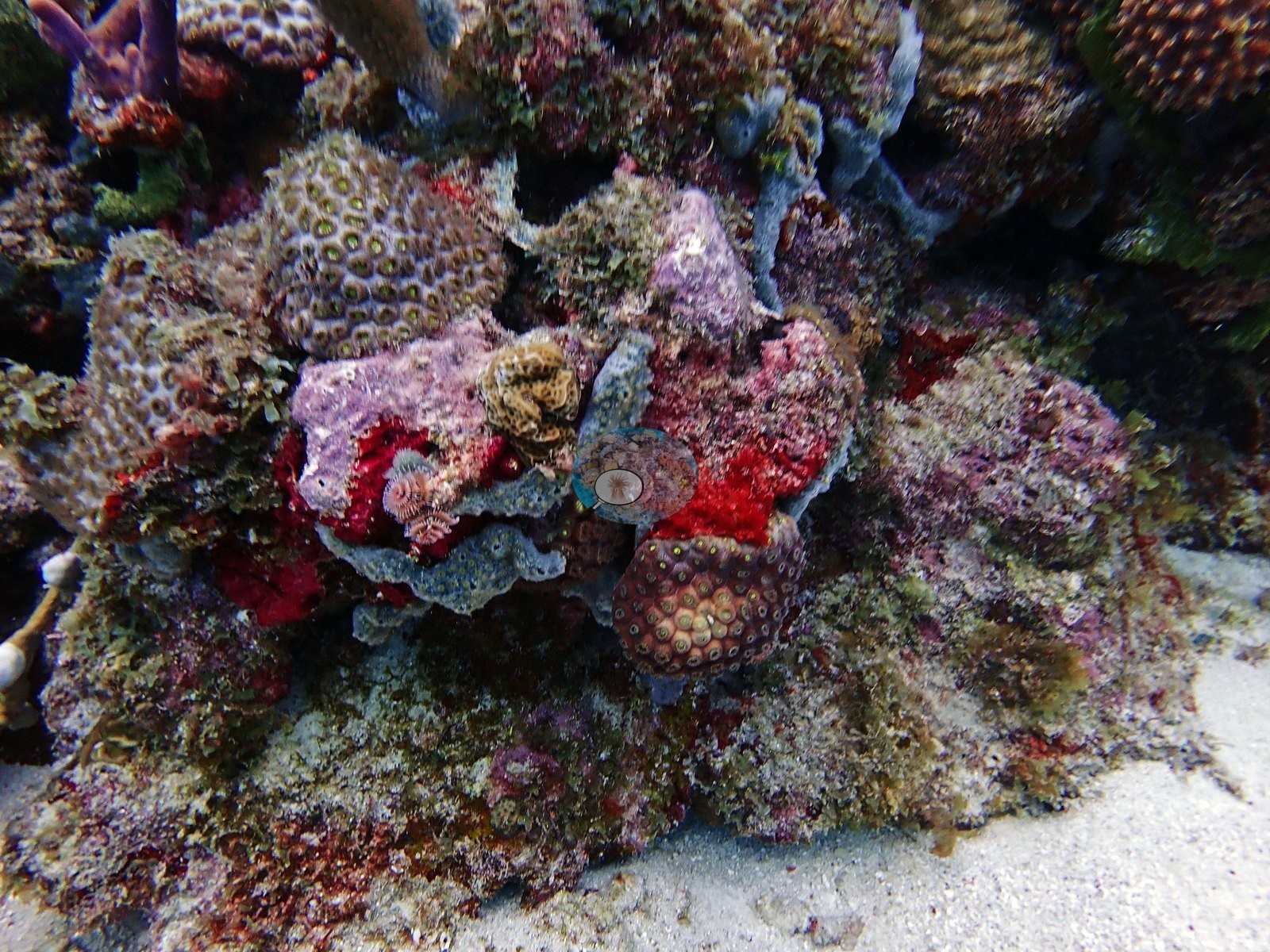
One frame Anderson noted for its unusual coloration (Image 85) shows encrusting colonies and crusts in unusual red-purple and gray tones on a rubble-and-sand margin.
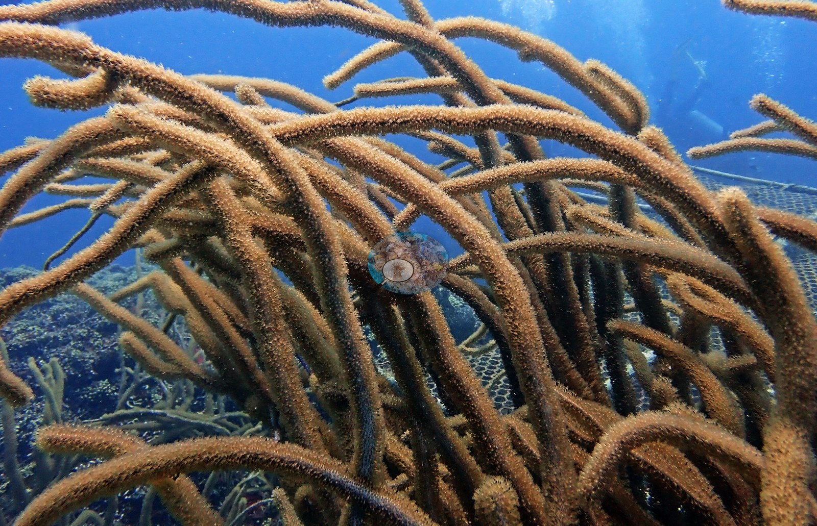
The gorgonian canopy above all this is heavy in places and sparse in others. Sea rods dominate — thick, blunt, candelabra-branched colonies, in Image 4 filling the frame so completely that the reef is only glimpsed between branches — joined by feathery sea plumes (e.g., Image 35, Image 37, Image 63, Image 64, Image 67), purple and gray sea fans (e.g., Image 59, Image 67), and single dark unbranched wire-coral whips standing off the rock (e.g., Image 19, Image 34, Image 40, Image 53).
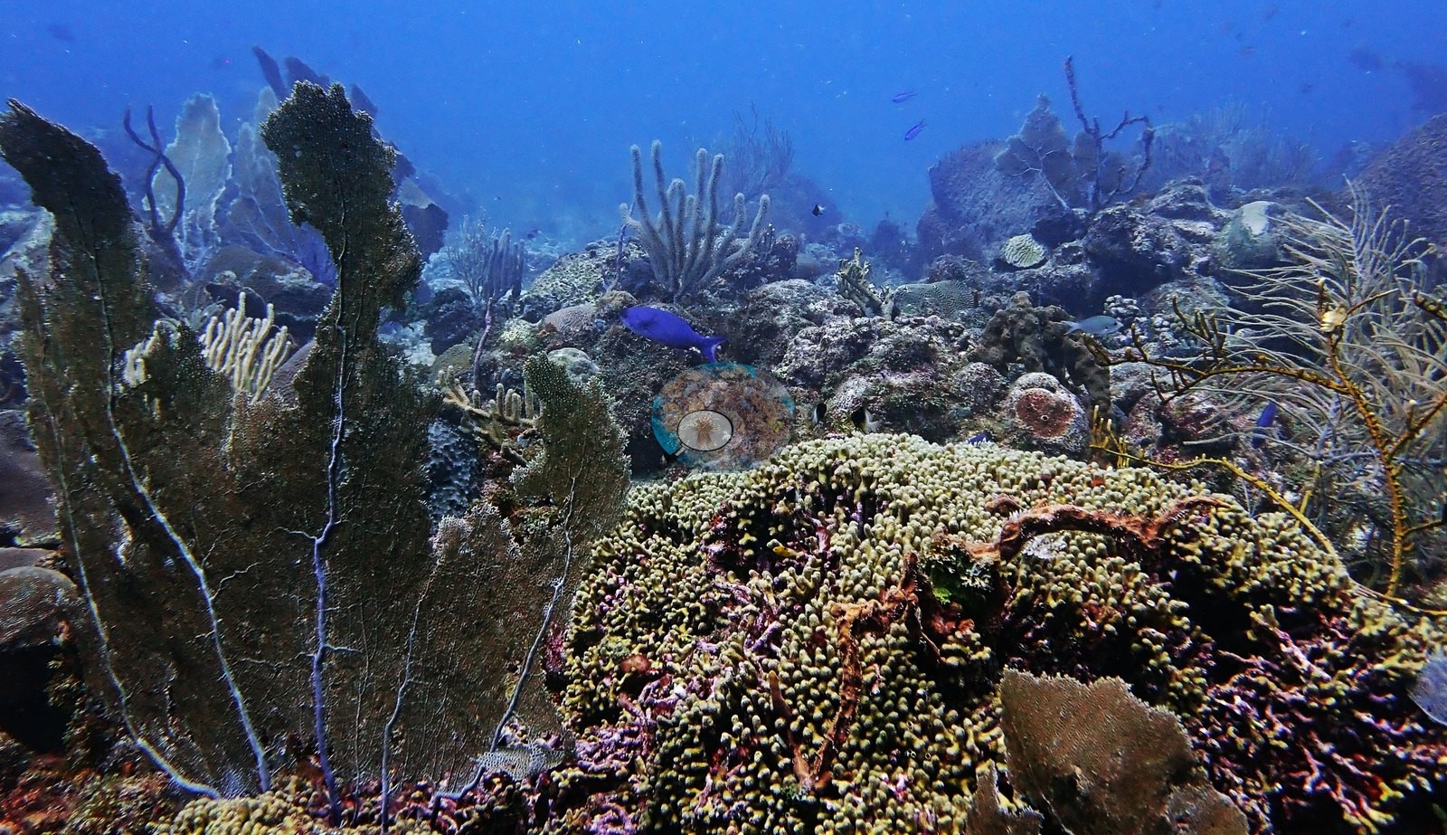
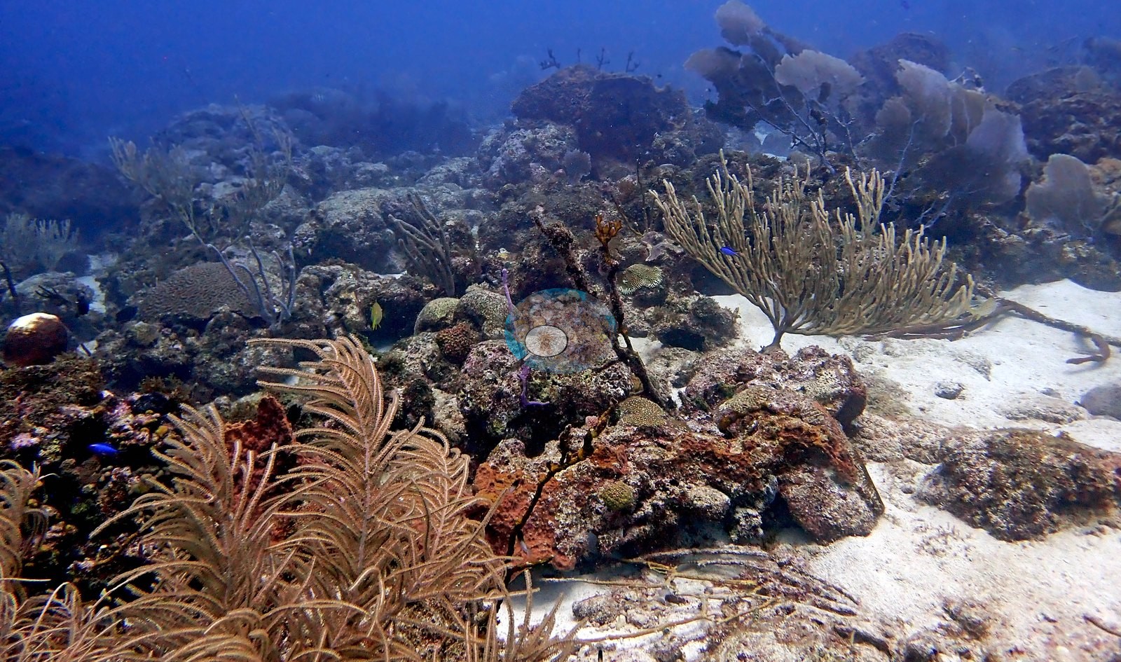
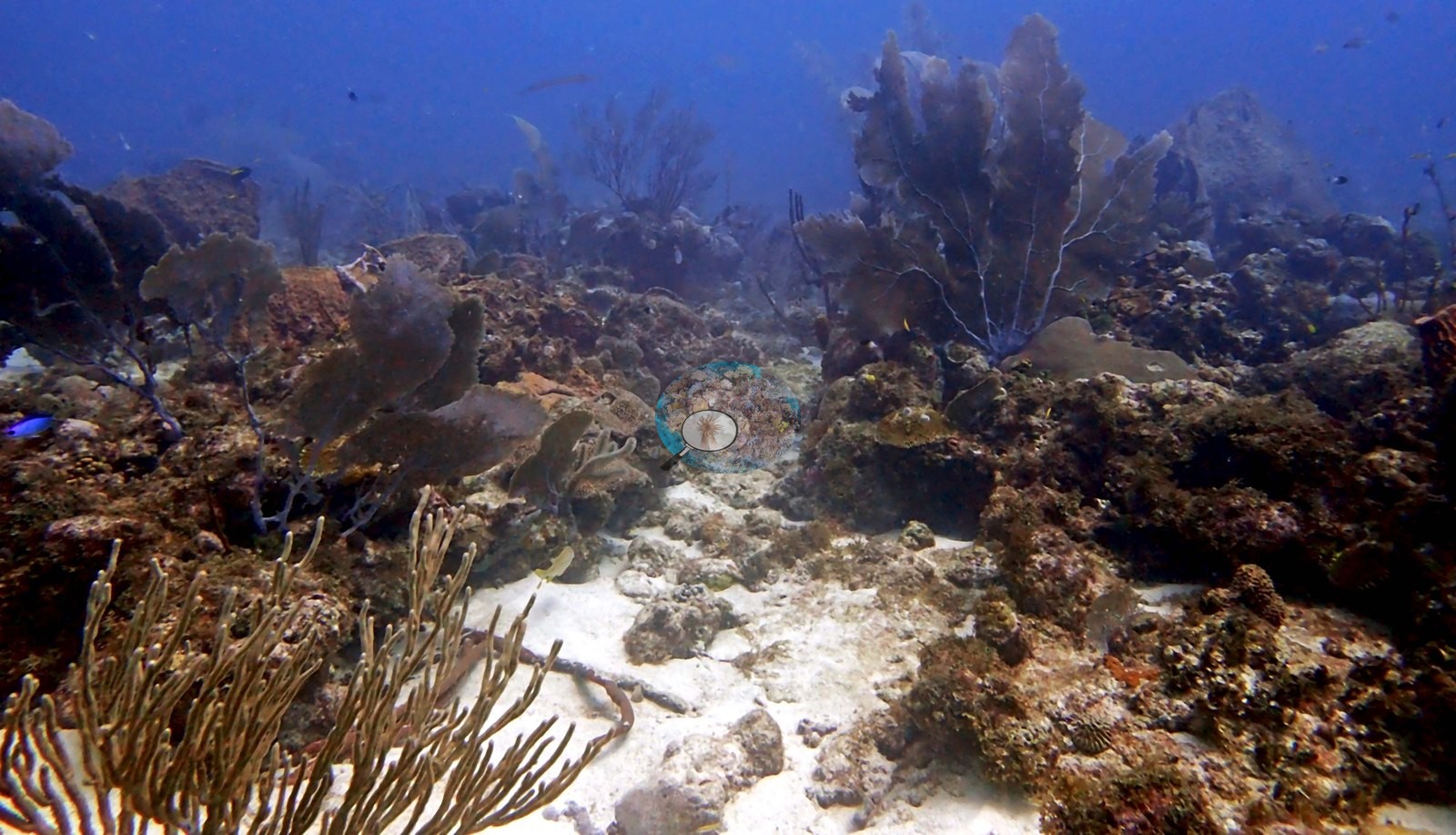
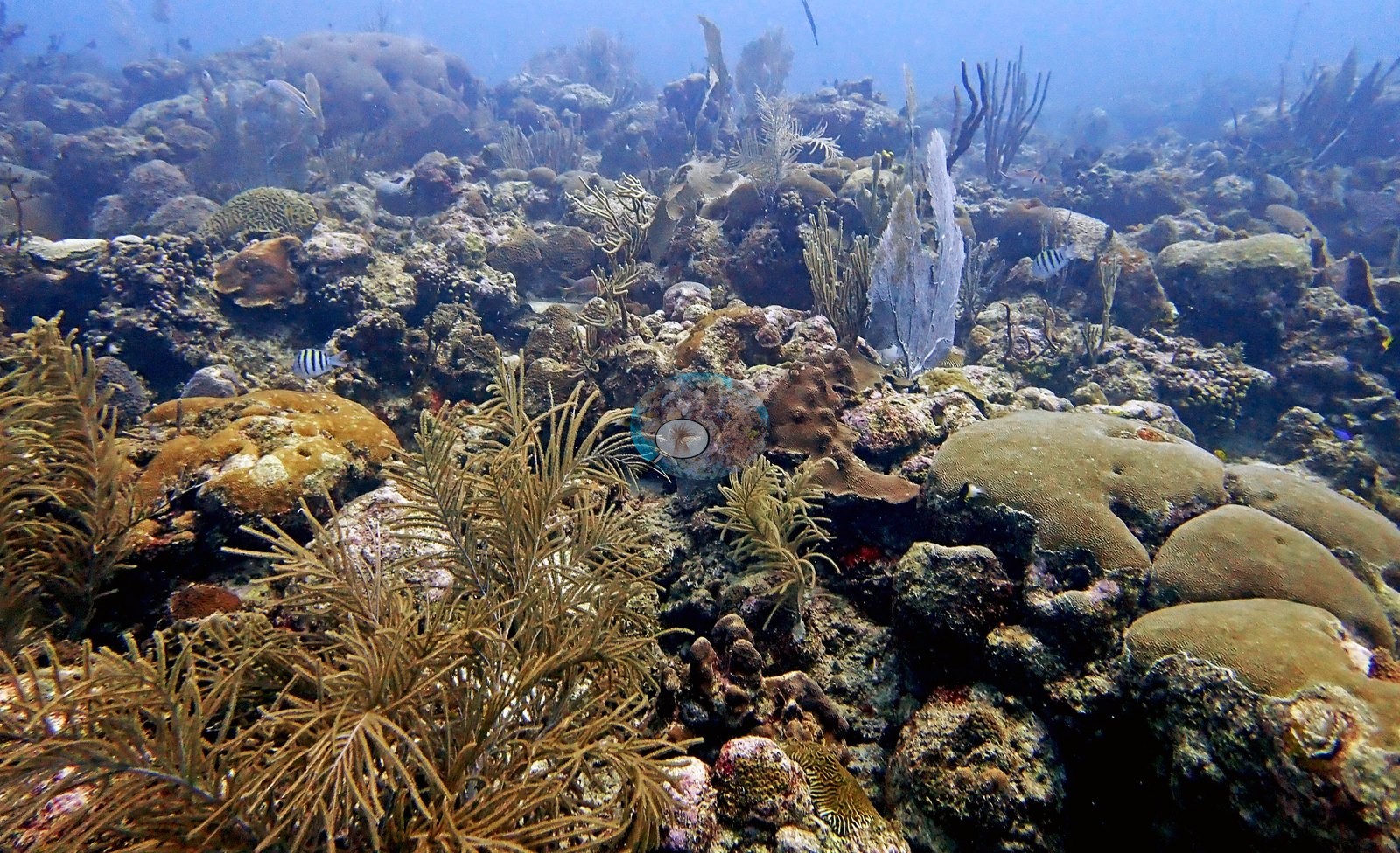
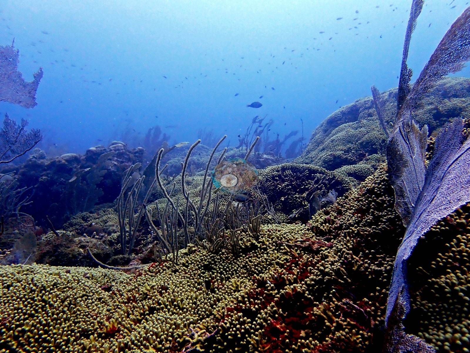
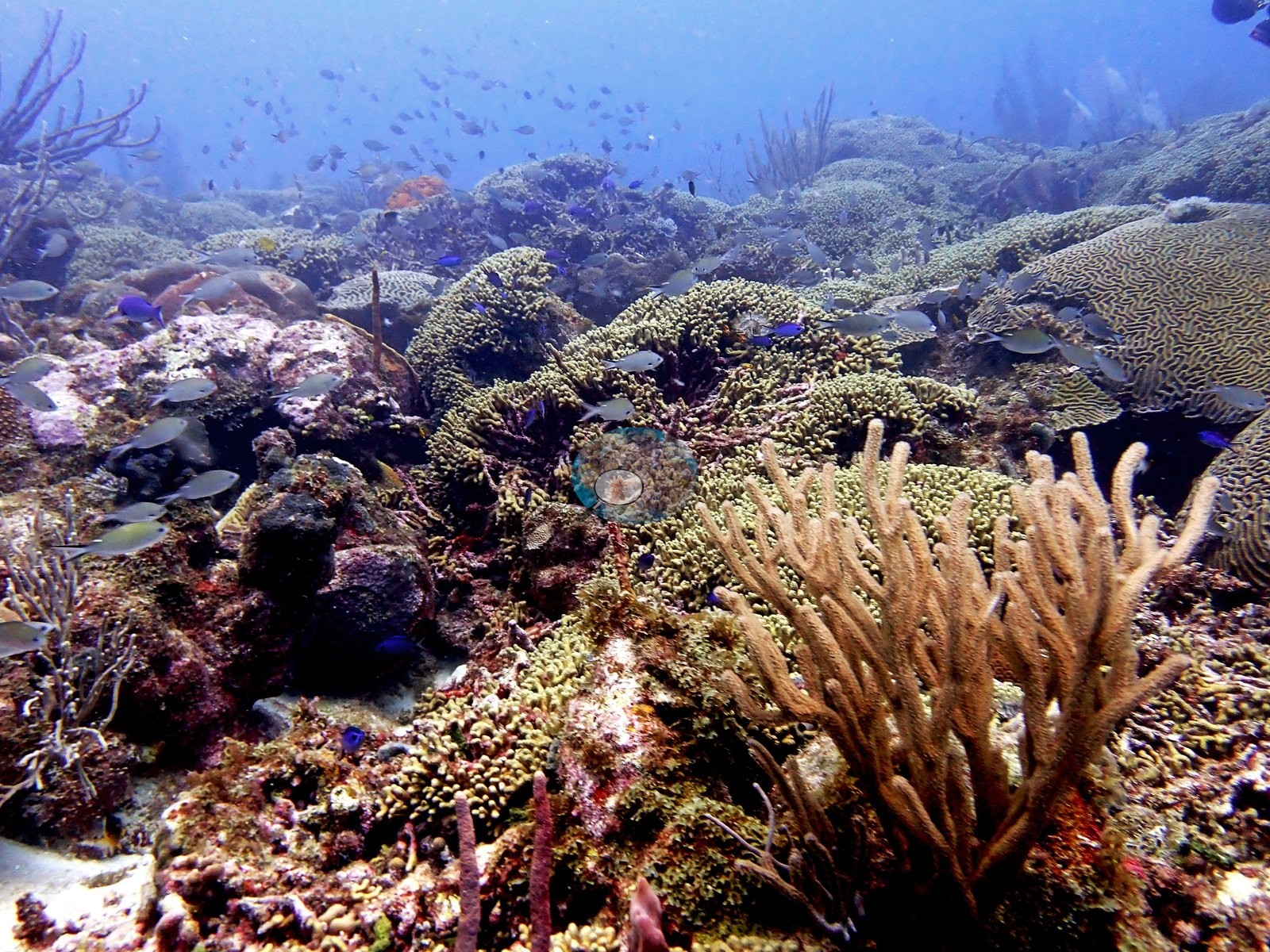
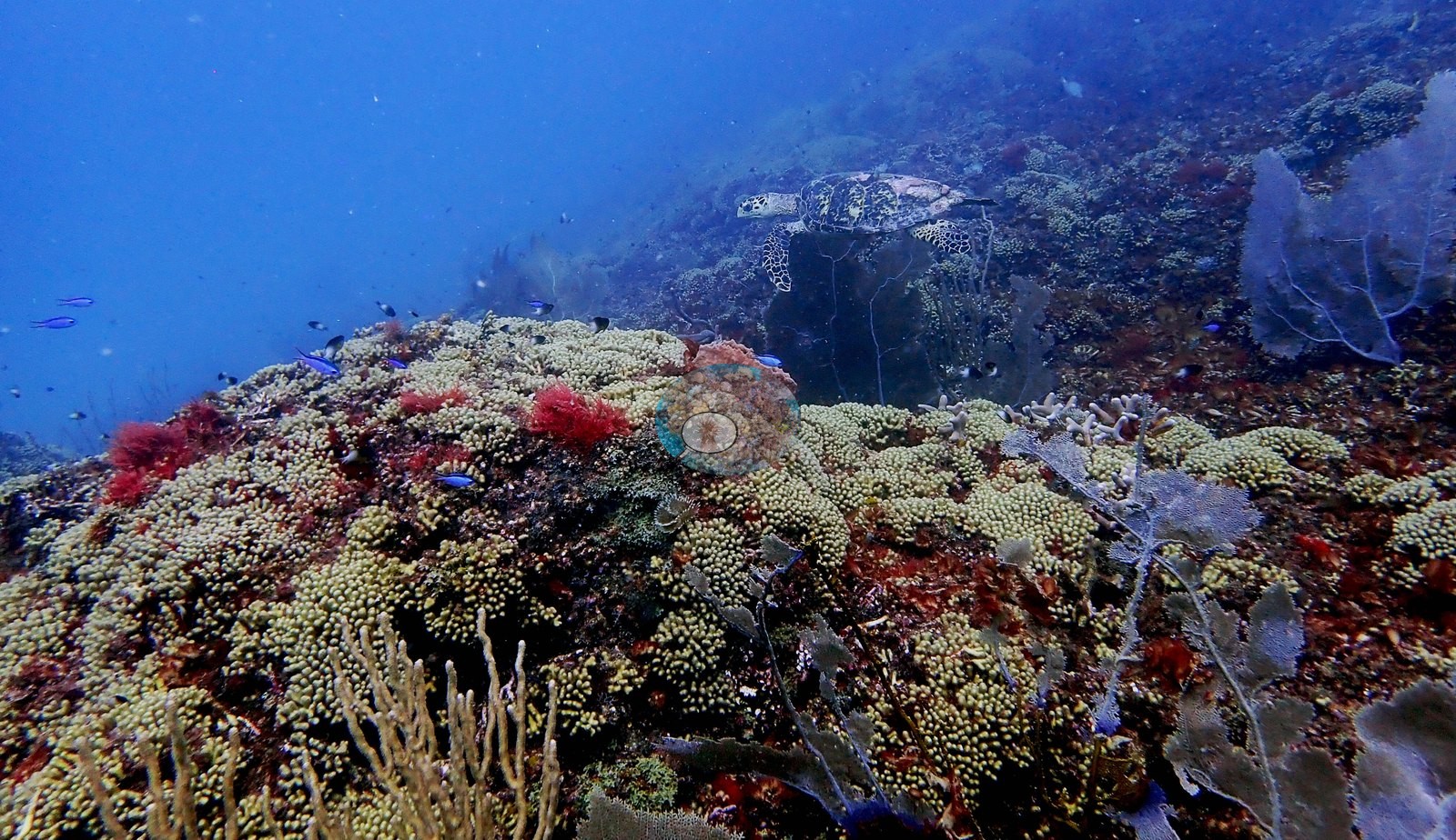
Sponges are constant but rarely large: bright orange and red encrusting sheets (e.g., Image 28, Image 40, Image 53), maroon and brown tube and vase forms (e.g., Image 8, Image 17, Image 44, Image 45, Image 53, Image 68), and small lumpy encrusting sponges tucked into rubble.
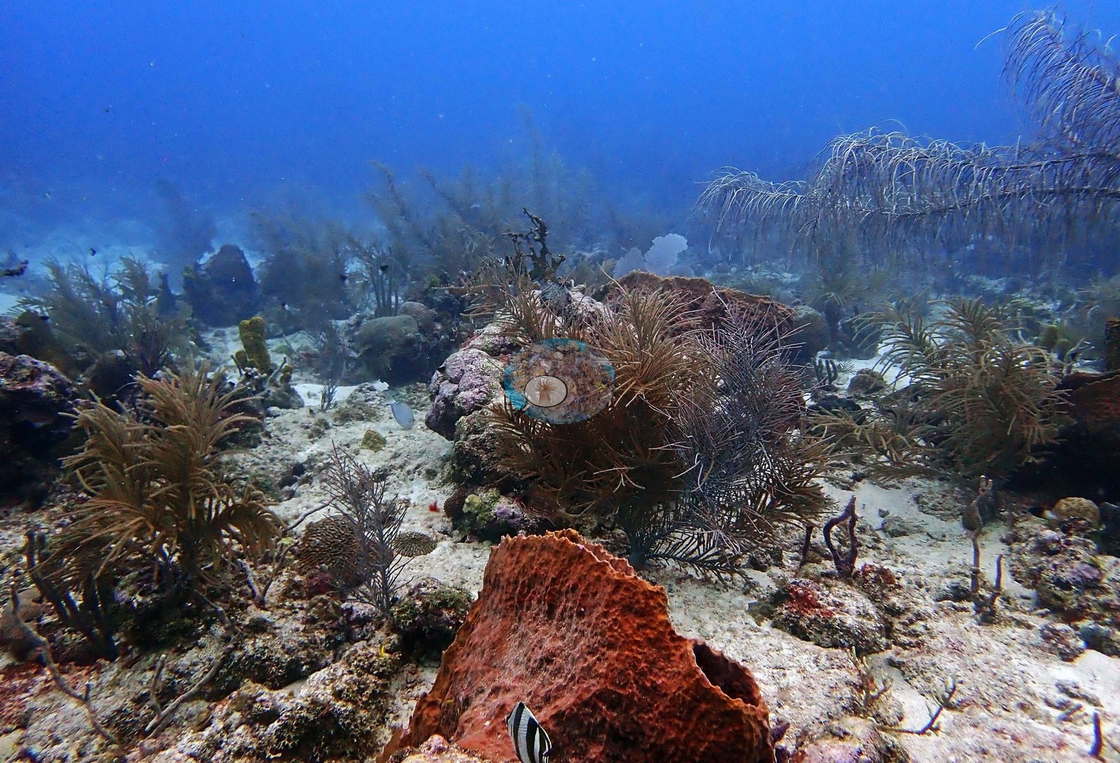
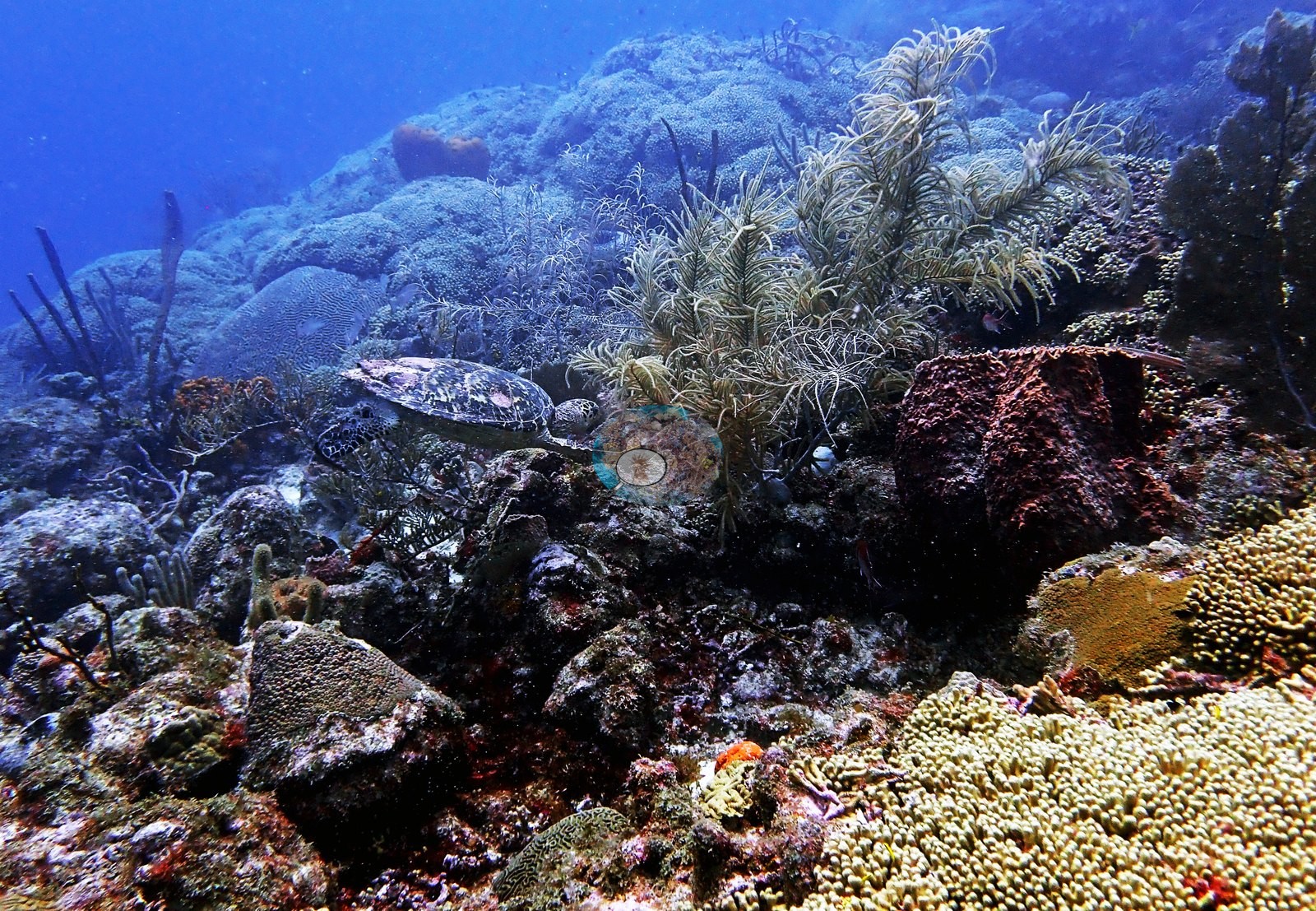
Crinoids appear in crevices and on colony margins (e.g., Image 76).
No Xestospongia barrel of the classic size appears in the set. No Acropora palmata or A. cervicornis stand appears anywhere in the 85 frames. Image 54 in particular is a dense mixed panel of turf, red algae, and small coral in roughly equal measure.
Coral cover
- Reference: Claude CV point count (this site's photos)
- Coral cover: 29% — a blind Claude computer-vision point count of 88 of Anderson's edited photographs (78 from this dive's edited folder and 10 edited frames of this dive kept only in the "Best of" folder, each a different exposure; 20 points per photo; water, fish, and obstructions excluded); median 27%. Other computer-vision methods are listed in the method table.
Stressors
Condition, described qualitatively only: most reef-scale frames show intact, pigmented, closed-canopy coral. Against that, a handful of frames show small bright-white patches on otherwise live mound surfaces (e.g., Image 43, Image 51, Image 53) and gray-green algal turf holding the gaps between colonies, with fleshy green algae and pink coralline crusts on dead pavement (e.g., Image 2, Image 22, Image 54).
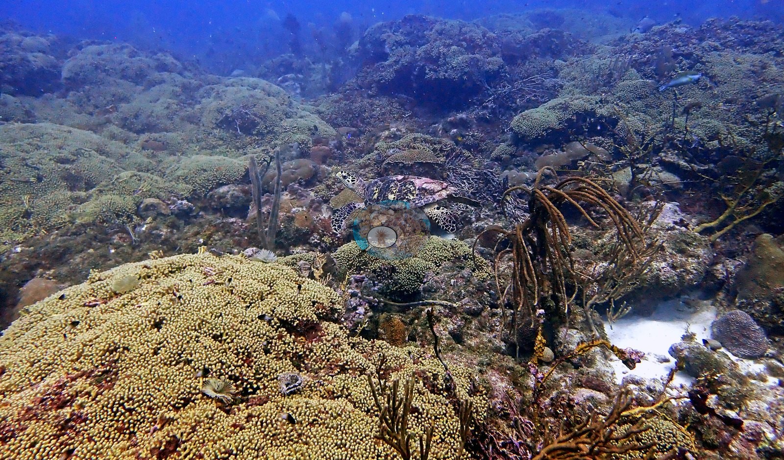
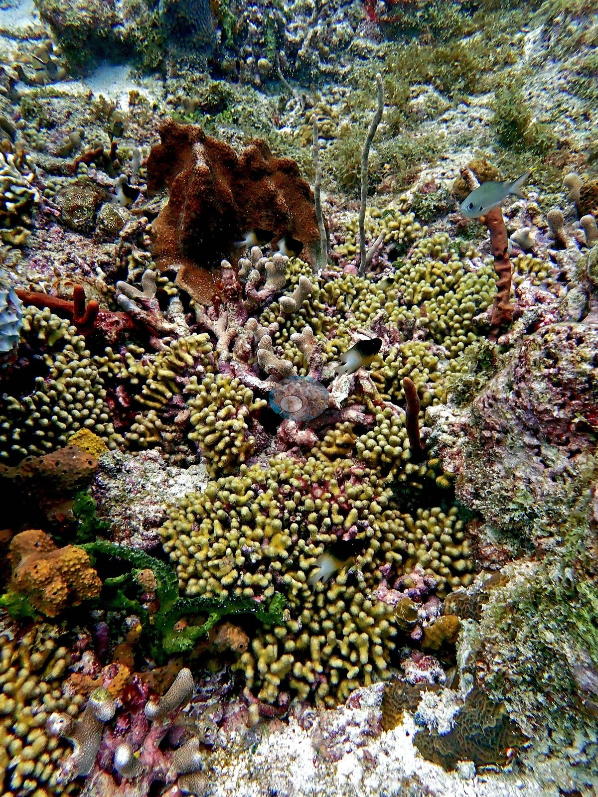
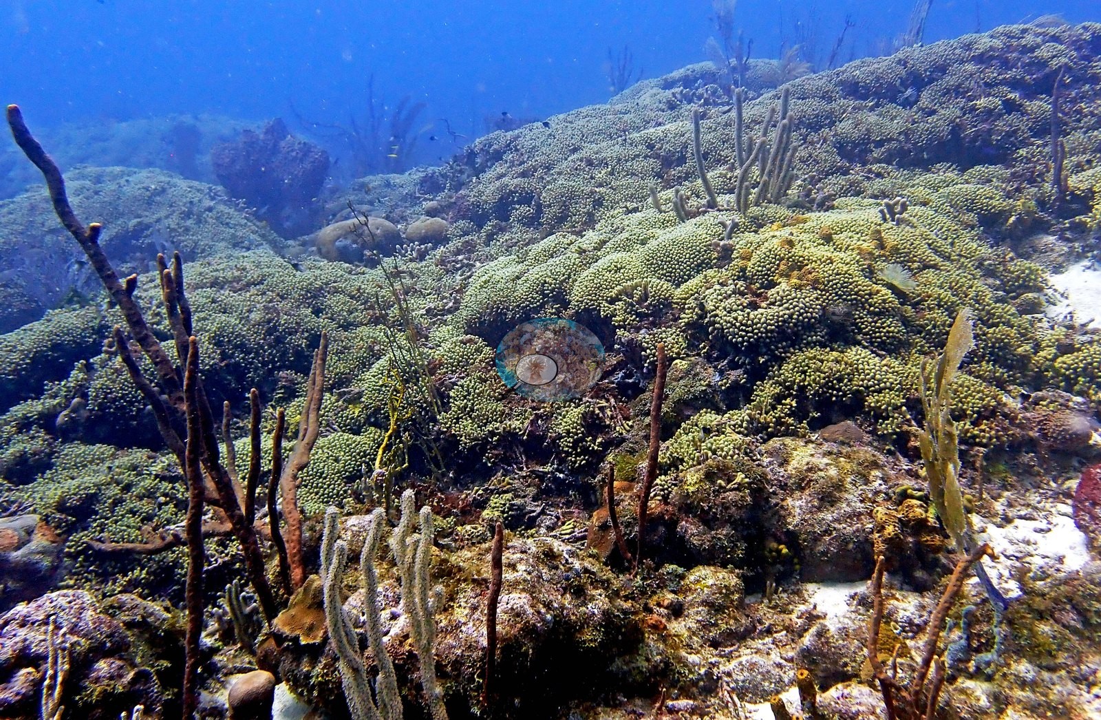
The one colony Anderson flags as unhealthy is Image 81. One of Anderson's unedited frames from the dive shows possible bleaching (one frame, Image 86): an upright massive colony white from the top down across its upper third, with paling on the neighboring colony.
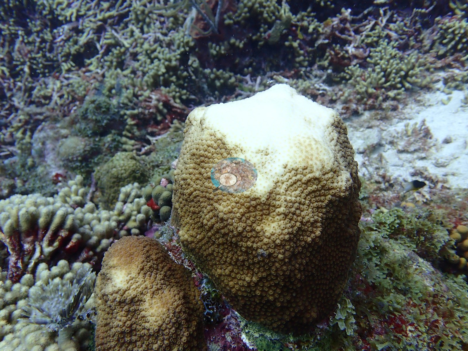
A bleaching or mortality percentage is not estimated from photographs. No corallivores were evident.
Fish and other fauna
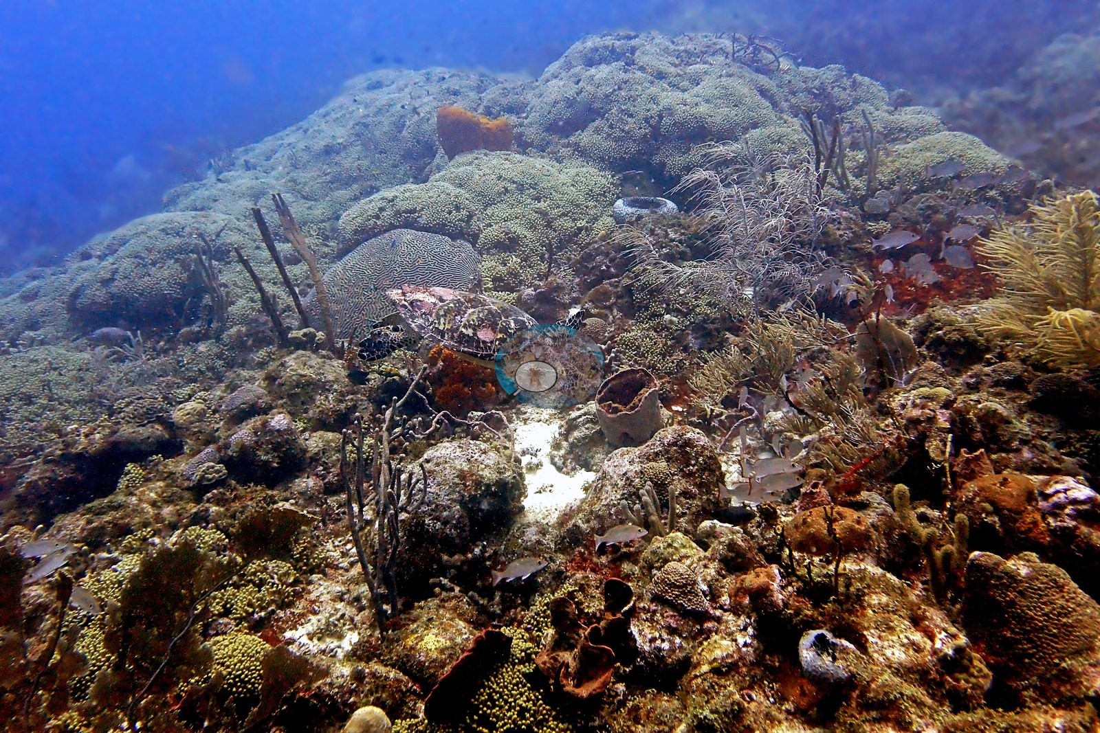
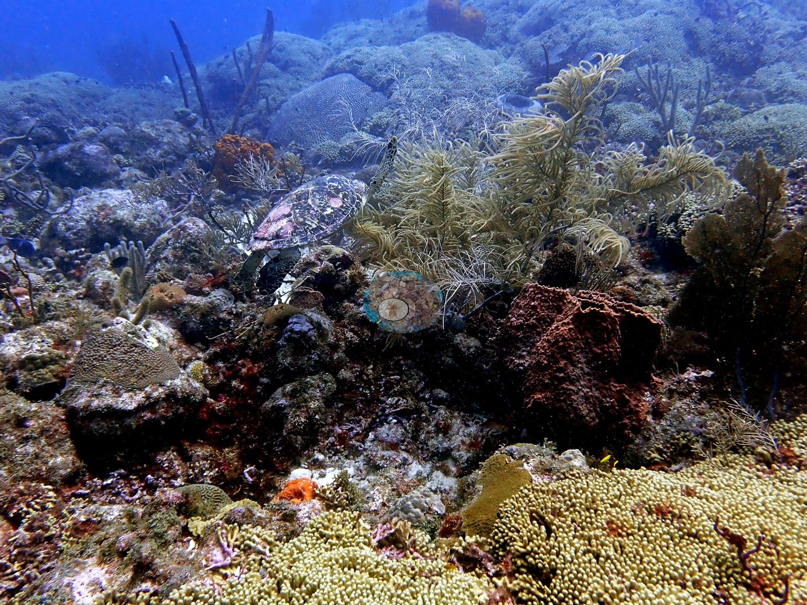
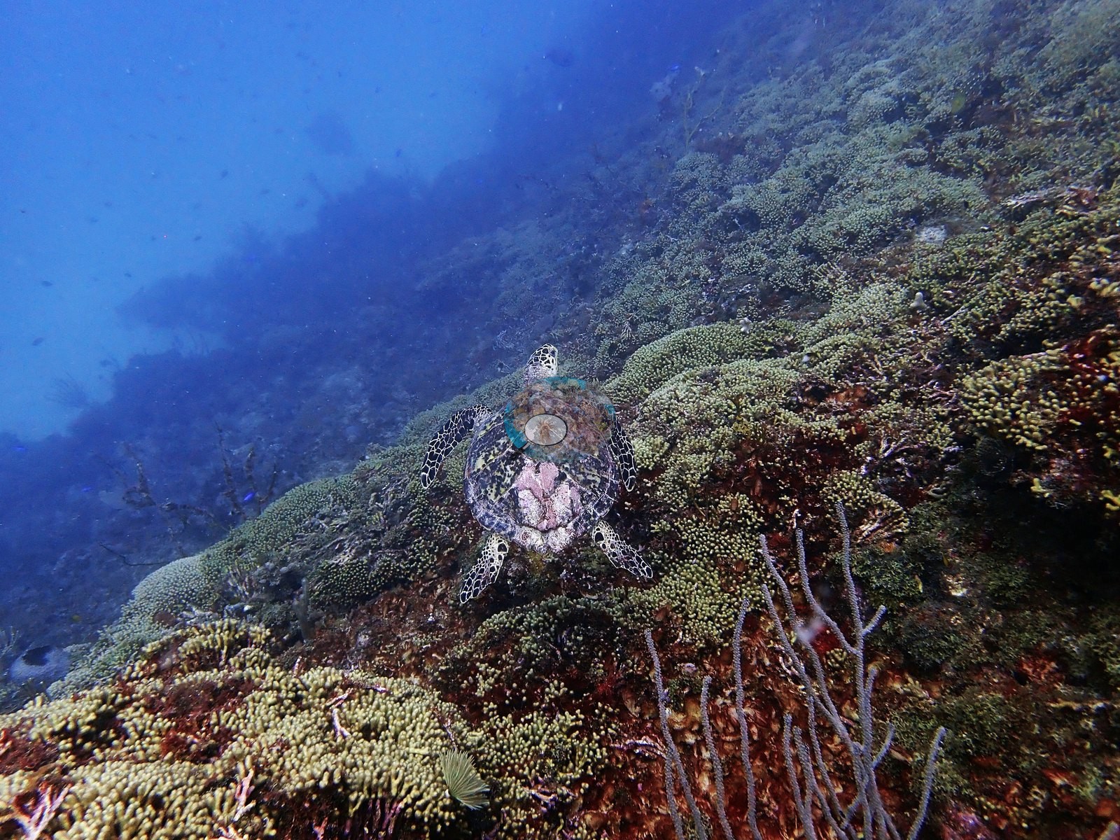
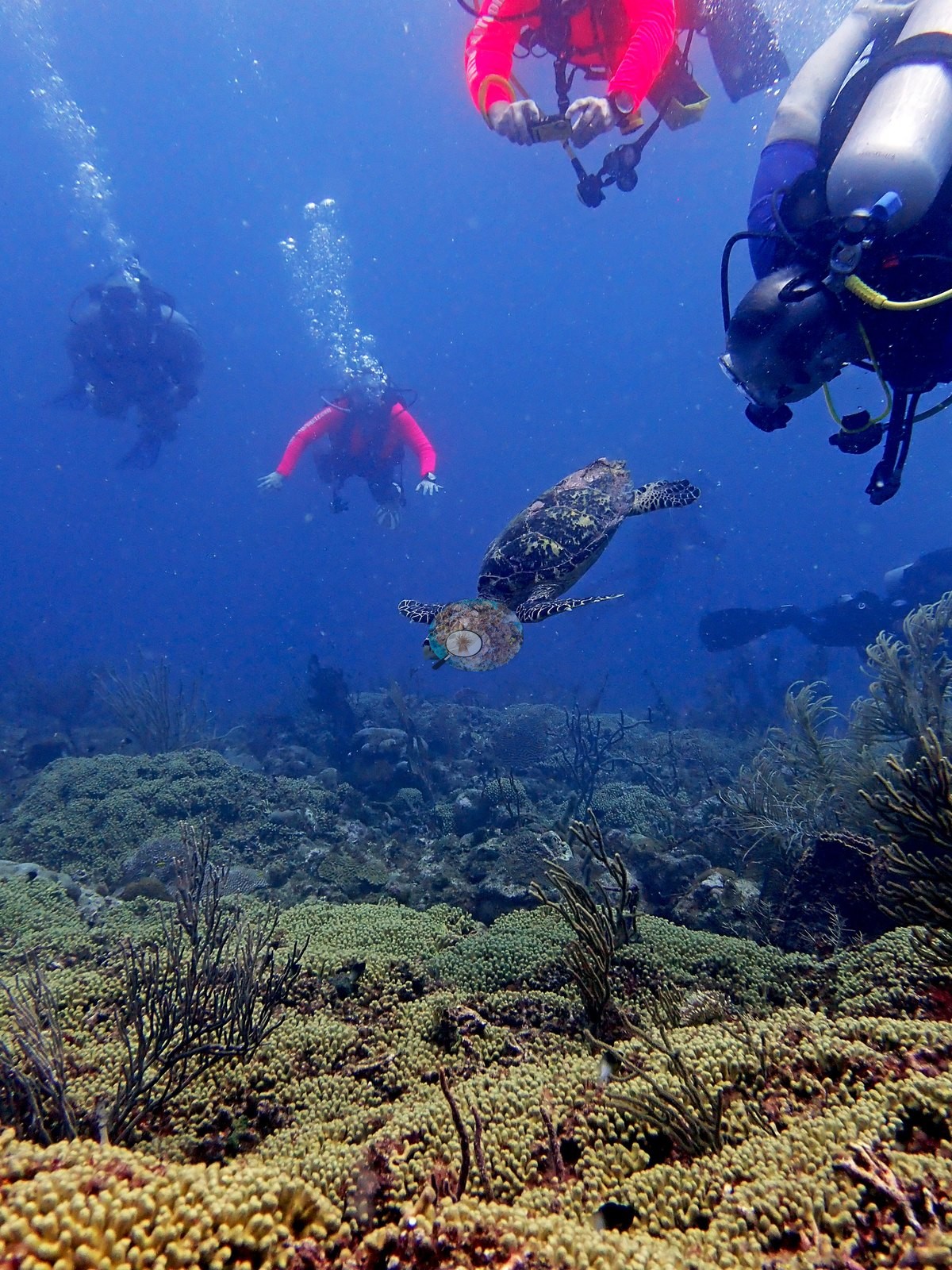
Fish and megafauna are modest but consistent: small clouds of blue-and-dark planktivores hanging over the thickets (e.g., Image 30, Image 31, Image 34, Image 50, Image 57), grunts and small snapper along the reef edge, blue tangs and wrasse in the mid-ground. Turtles are the recurring encounter — four separate frames (e.g., Image 55, Image 83, Image 84), one with the animal settled directly on the Madracis thicket and one with divers behind it.
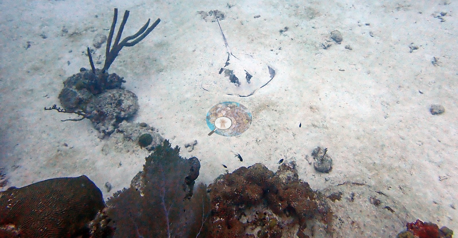
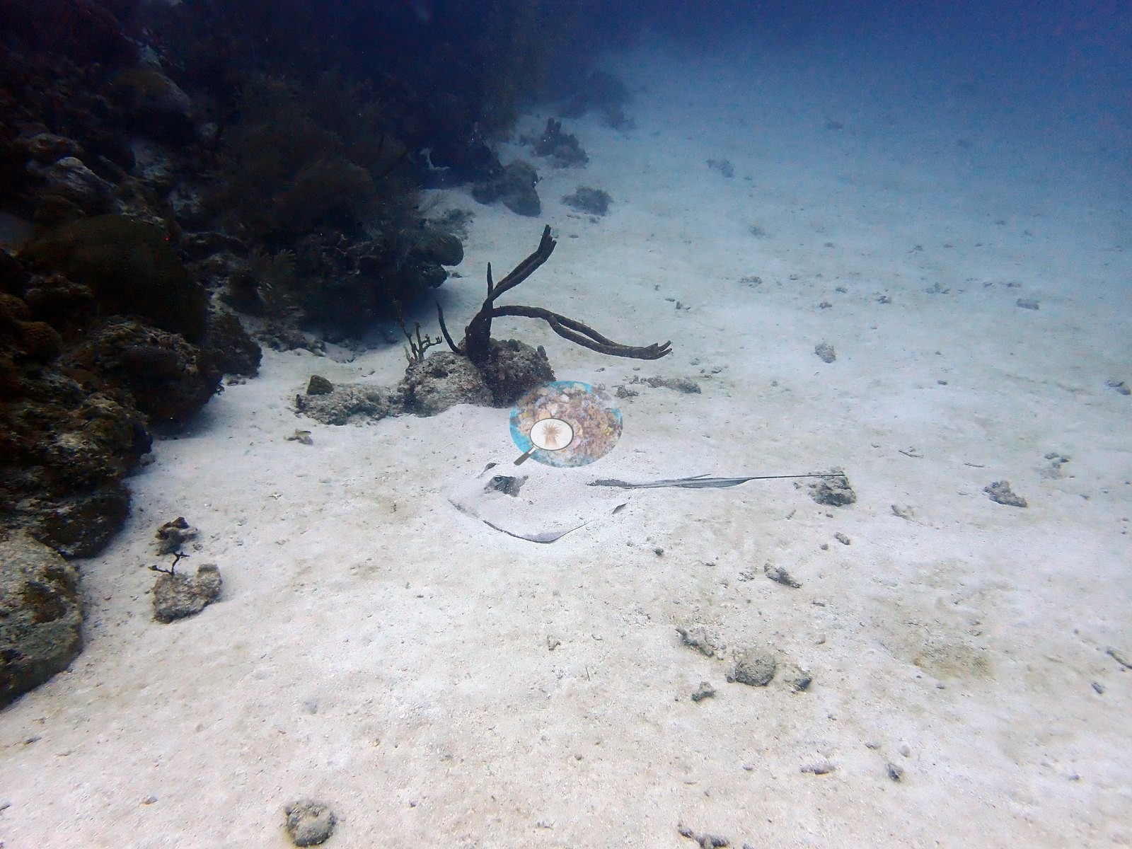
A stingray lies half-buried on the sand plain in Image 82, with the same or another ray visible.
An invasive lionfish is photographed on the reef.
Comparisons with other data
Reef Check surveyed a nearby station (Oistins), 0.49 km from the pin; we could not confirm that it is the same reef. Within 5 km, three Reef Check stations recorded station-year means of 16–32% hard coral cover between 2001 and 2005; the nearest, Reef Check at Oistins, 0.49 km away, read 24–32% between 2001 and 2005.
Dive record
Anderson's DiverLog record for it is dated 18 January 2020, in at 10:20, 56 minutes, 17.1 m maximum, 27.7°C average (dive-computer minimum 26.7°C).
Other notes
This account is written from Anderson's 85 edited photographs of that dive (the dive folder holds 92 camera frames in all): the site is a hard coral-dominated pavement reef with a gorgonian canopy over it. Human use is on record too: a large wire-mesh lobster trap sits on the reef.
CV model comparison
More info
A few colony-focused photos raise the mean; the median is the typical photo. No computer-vision method yet estimates coral cover accurately on new images, so treat this as indicative rather than a measurement; it is revised as the methods improve.More info
Other rows are for comparison only and are never averaged. No diver transect exists for this trip, so agreement between rows is not accuracy.| Method | Hard coral cover (%) | Photos (n) ± SE |
|---|---|---|
| CoralSCOP edited | 30.5 | n = 85 |
| Claude (edited photos) | 29.4 | n = 88 · SE 2.5 |
CoralSCOP (edited photos) reads 30.5%, within 1.1 pp of Claude's blind point count (29.4%).
See a more detailed, stand-alone version of this table.
Independent surveys nearby
 Coral Reef Diagnostics
Within 5 km, 3 independent survey stations recorded hard coral cover in 9 surveys between 2001 and 2005. Of the 2 stations surveyed in more than one year, 1 declined (by 12 points) and 1 increased (by 3.0 points) between their first and latest surveys. The longest record, Oistins (Reef Check, 0.49 km away), went from 24% in 2001 to 27% in 2005. The most recent nearby survey is from 2005, so these values predate recent heat stress. This site's own estimate (29%) sits within the range of these station-year means (16–32%); the methods differ, so the comparison is context, not a like-for-like test.
Collected by other programs using different methods (Reef Check uses point-intercept transects), so these are context for the figures above, not a like-for-like comparison. Where a station was surveyed more than once, the cell shows either the range of its values or, as a single value, the mean of surveys made in one year. Station names are not dive-site names.
| Agency | Site / location | Date | Hard coral cover (%) | Distance |
|---|---|---|---|---|
| Reef Check | Oistins | 2001–2005 | 24–32% (5 surveys) | 0.49 km |
| Reef Check | Maxwell | 2002 | 28% | 1.78 km |
| Reef Check | Bougenvillea | 2003–2005 | 16–30% (3 surveys) | 1.42 km |
Data & links
All images from Coral Reef Diagnostics. Data are from Coral Reef Diagnostics and the organizations named in the data sources above.
© Coral Reef Diagnostics.