
Barbados - Close Encounters

More info
Windward Caribbean Islands (NOAA CRW virtual station)Close Encounters is a brain-coral-dominated reef under a heavy gorgonian and sponge canopy, with grooved mounding colonies from fist-sized to over a meter across. A dozen frames show discrete pale-to-white patches on otherwise pigmented colonies, a condition signal that could reflect disease, predation, or focal bleaching.
Four independent survey stations shown with the program’s logo — click one to see how far it is from this site.
One other CRD dive site with its own page within 5 km shown in orange — click a marker to open its page.
This page shows 58 of the 72 photographs from this site, including every one the text cites.
Site description
Setting
Close Encounters lies off the south coast of Barbados at St Lawrence Gap, a little west of G Spot, dived in January 2020 to about 16 m at 27.7°C (average; dive-computer minimum 27.2°C).
General benthic features
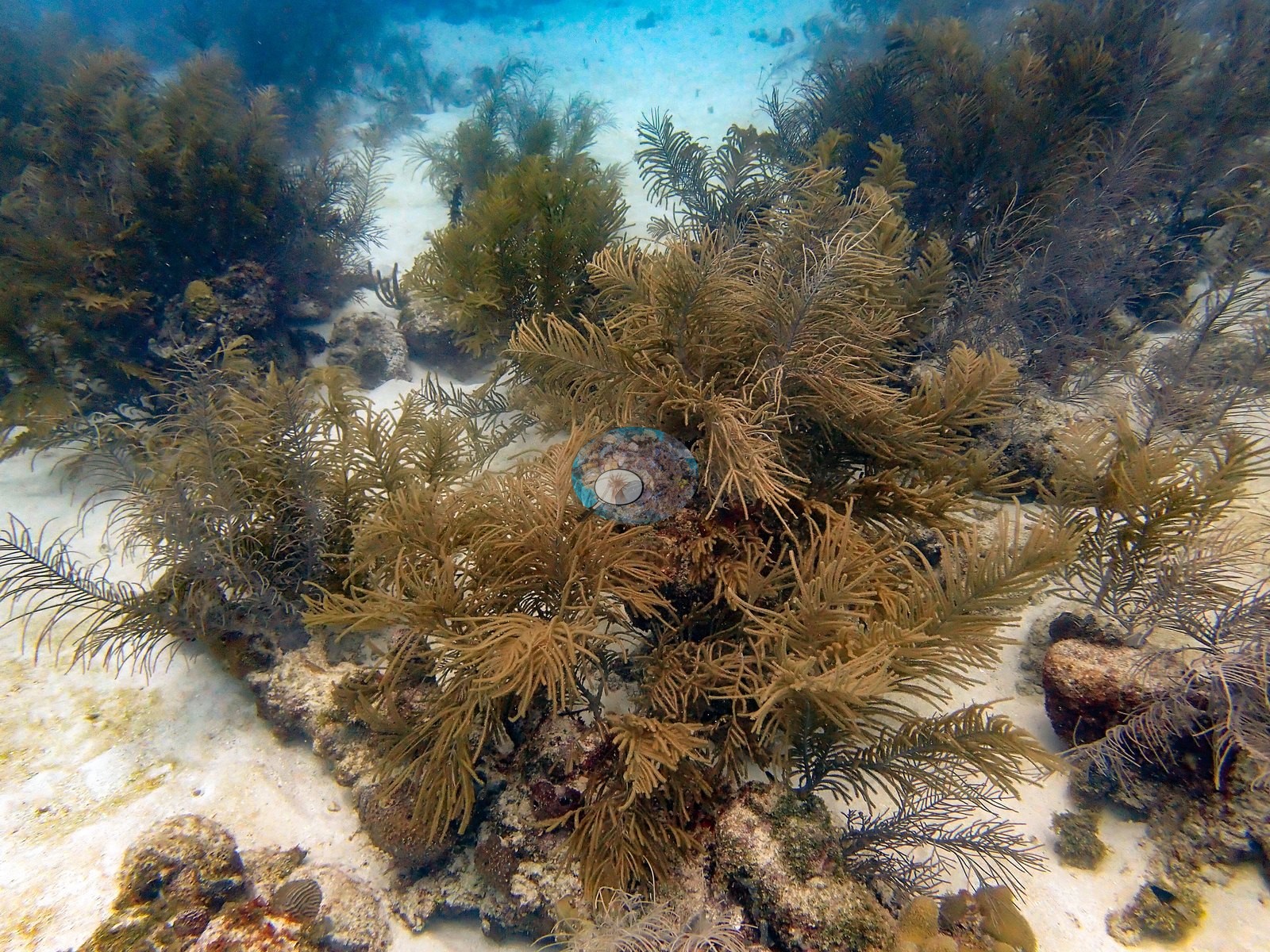
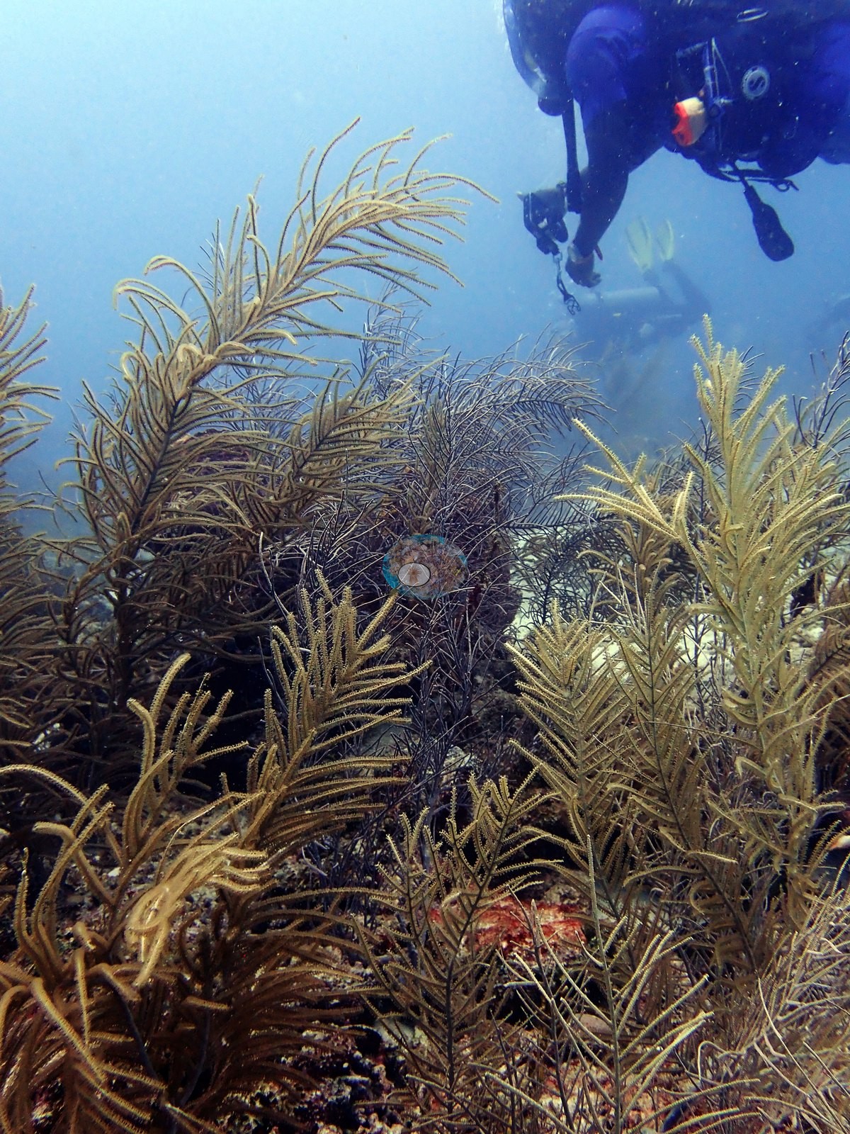
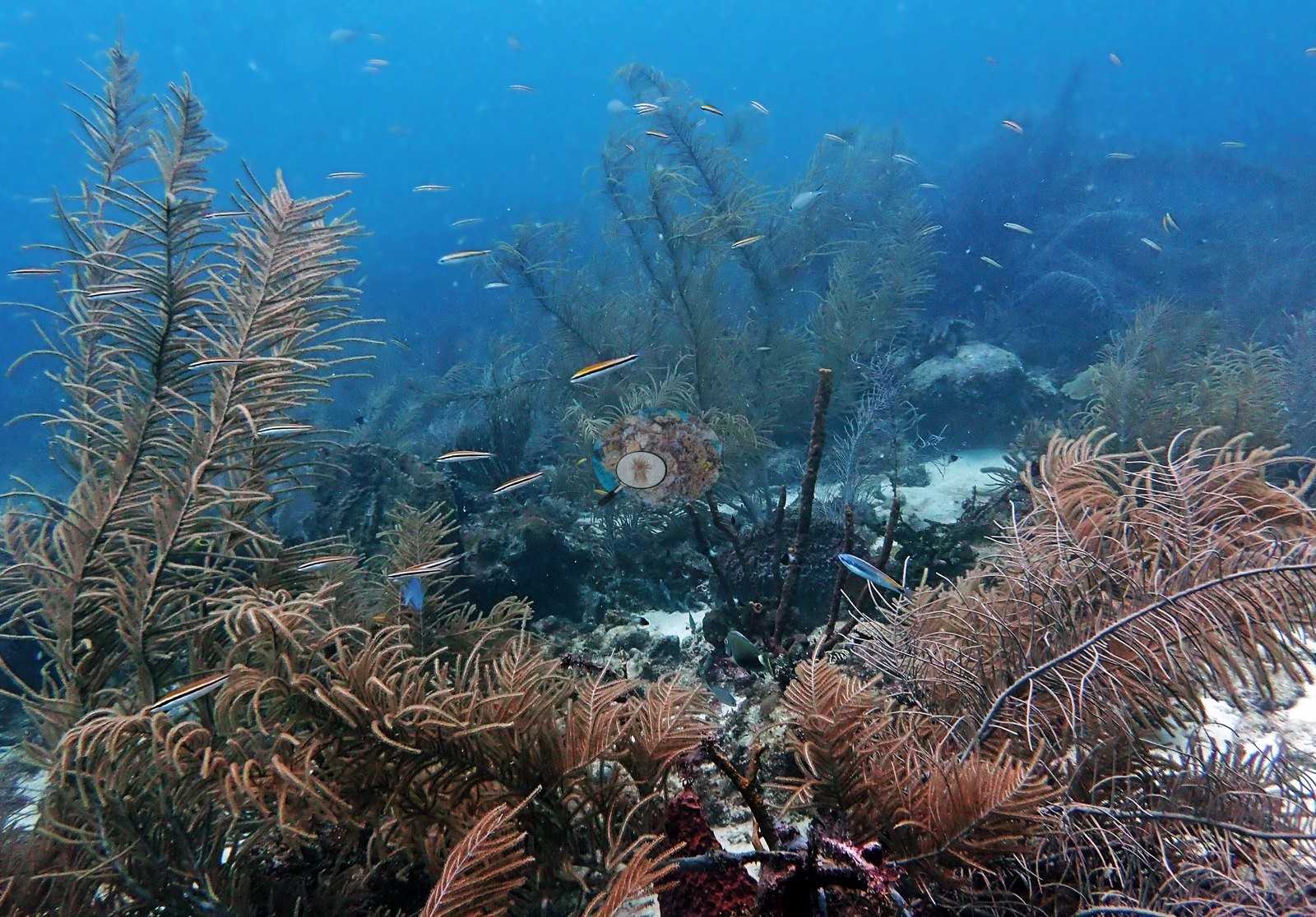
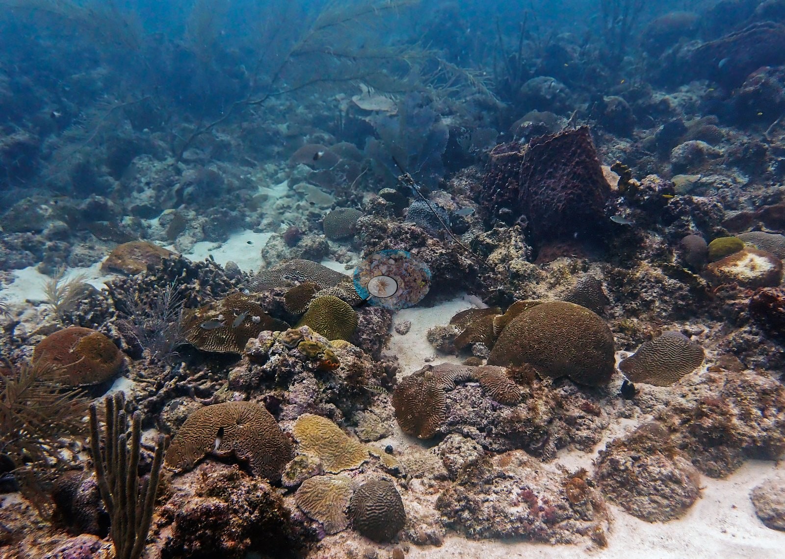
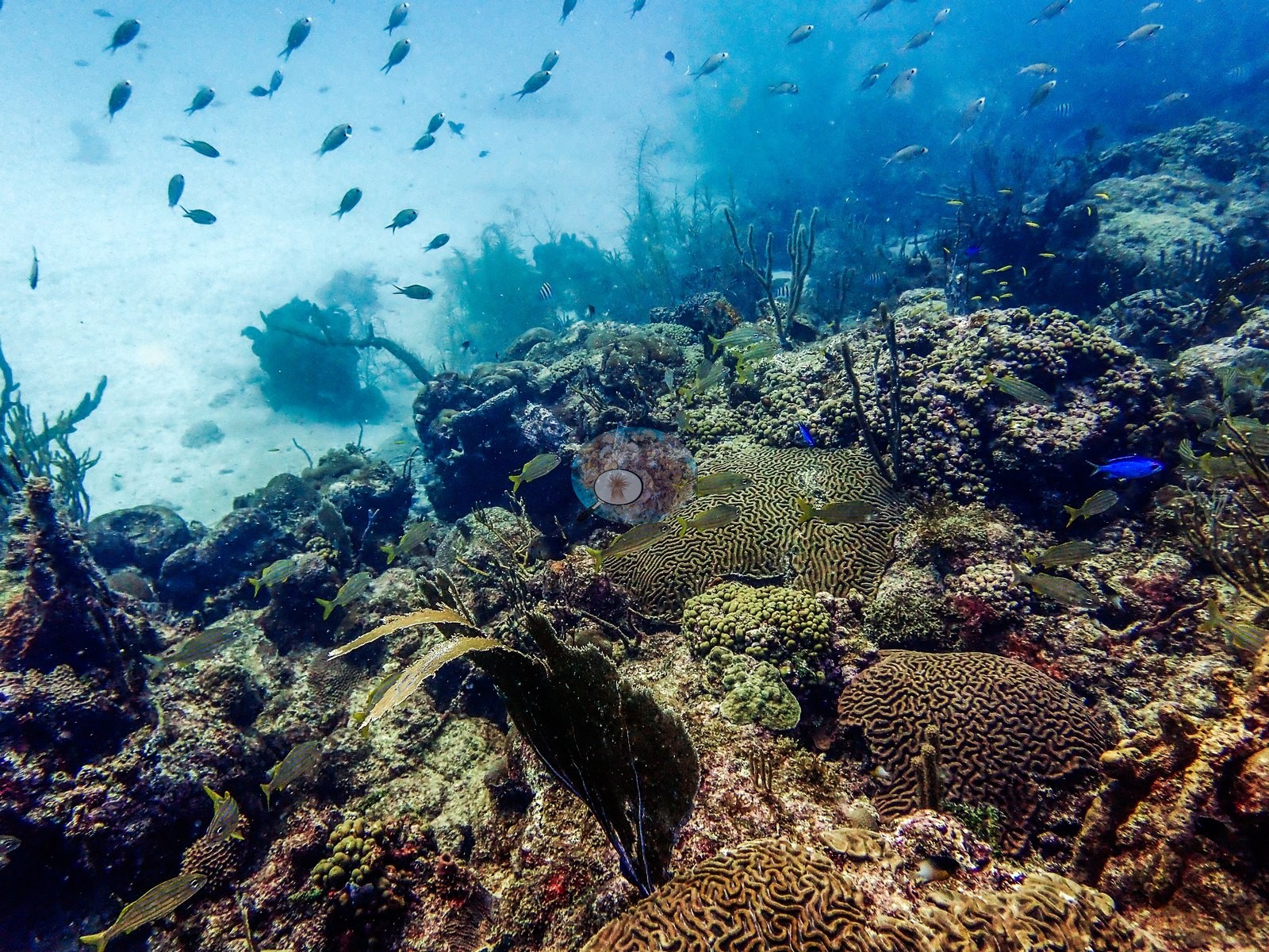
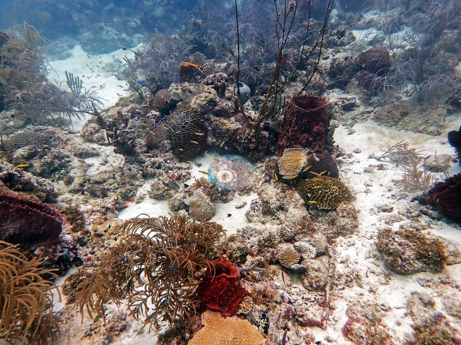
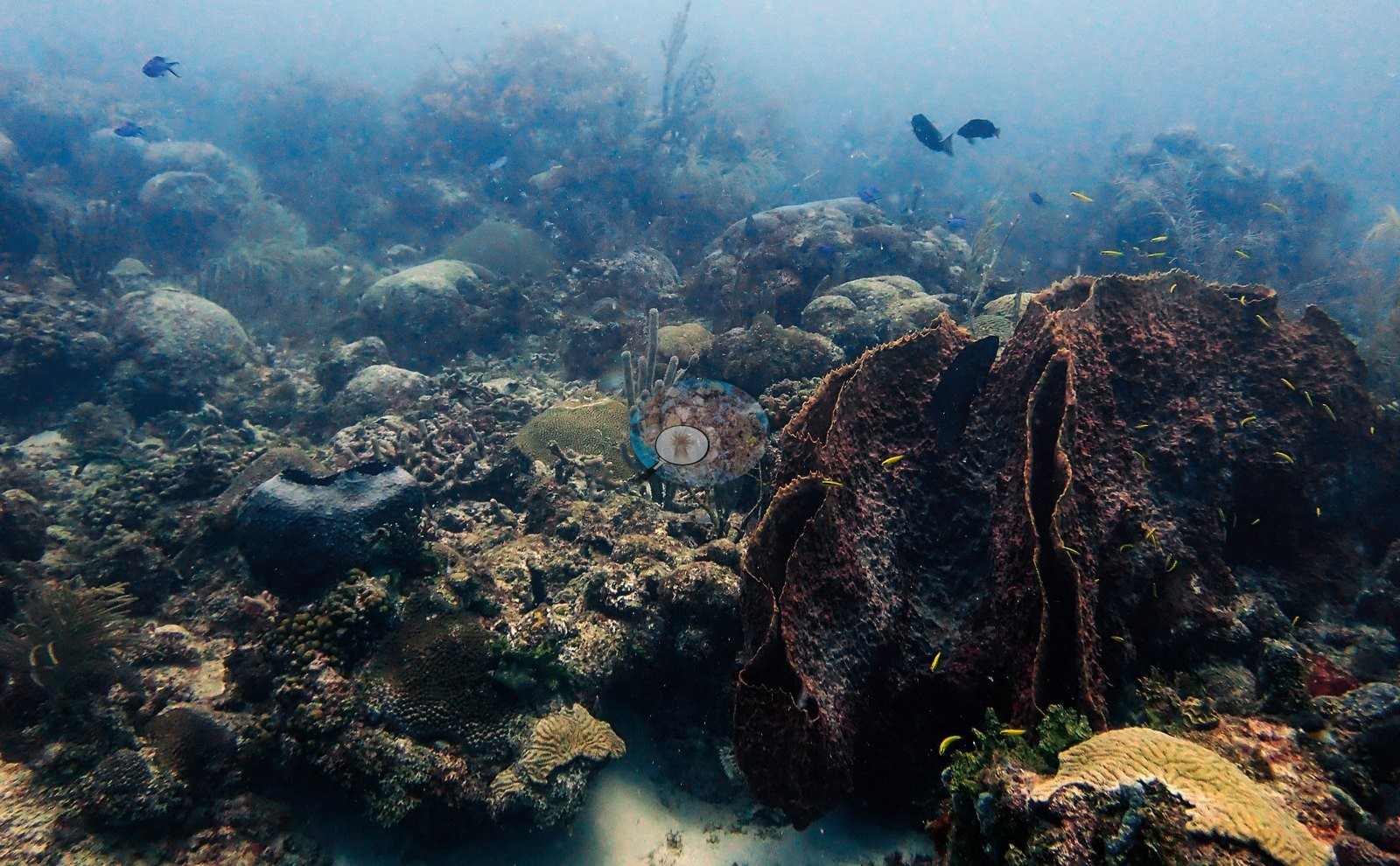
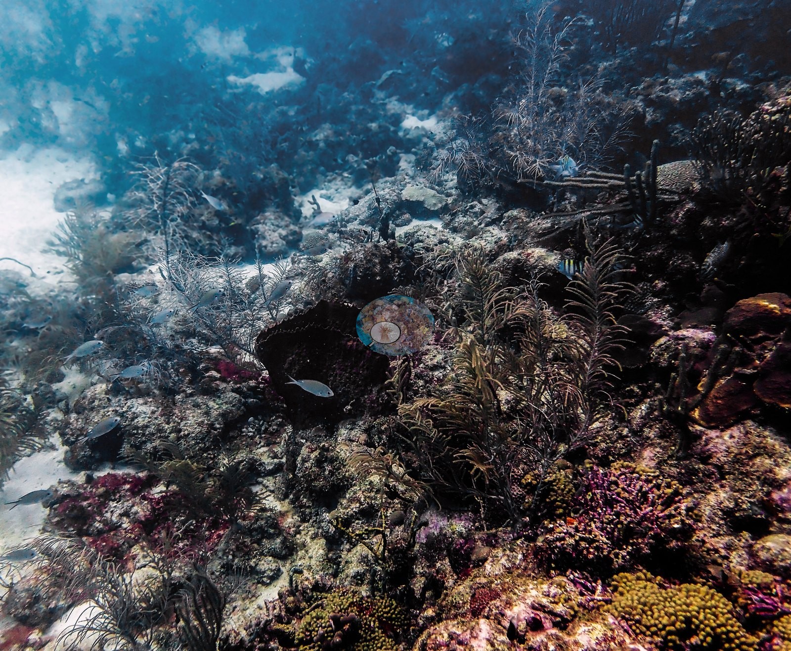
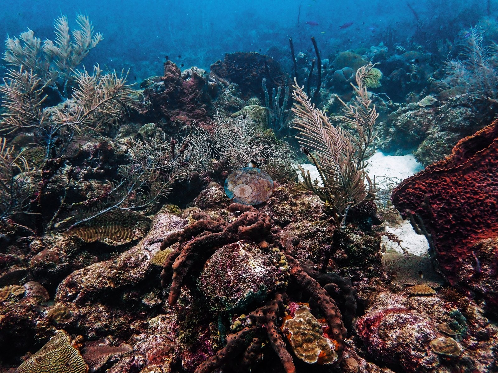
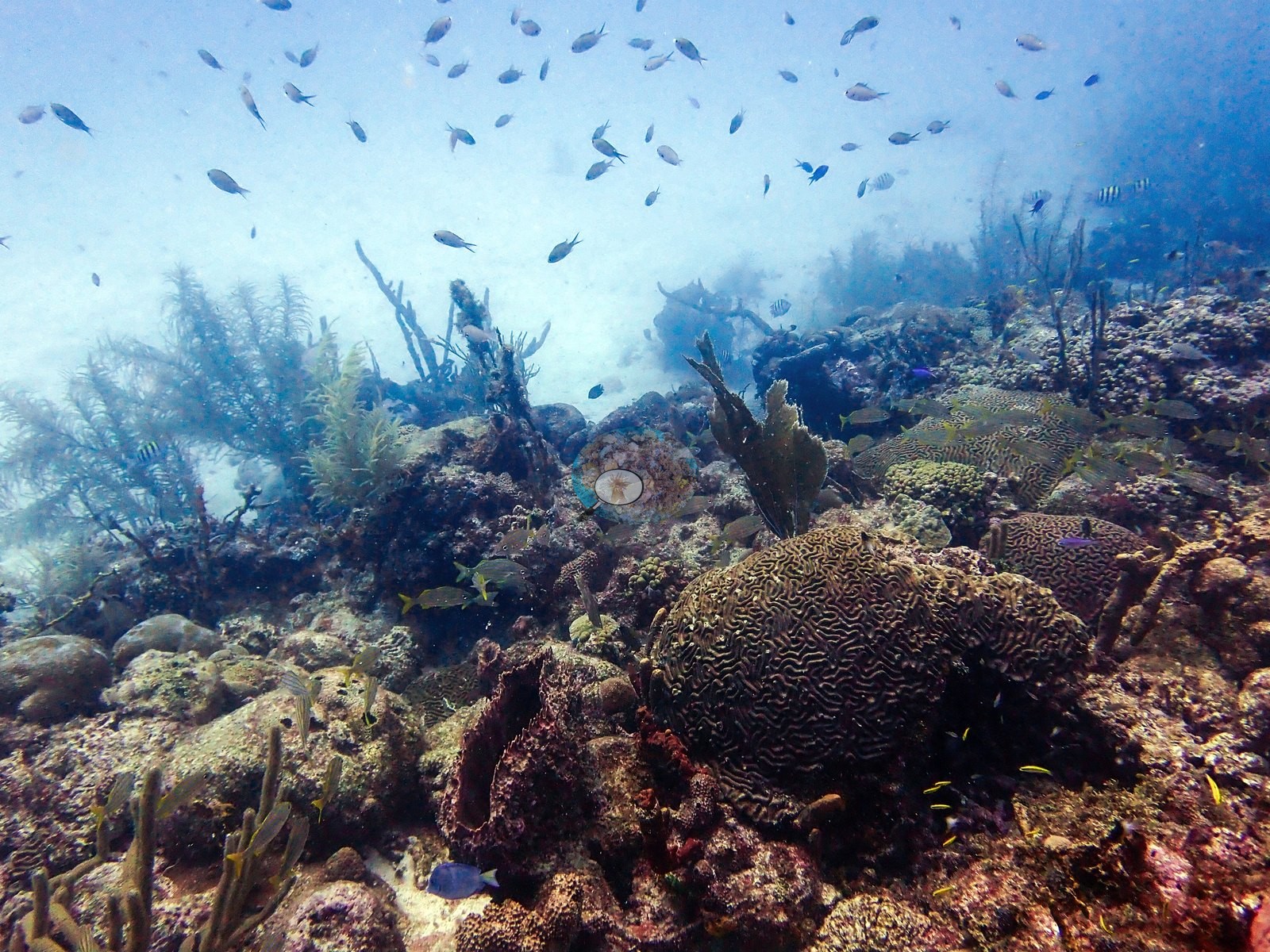
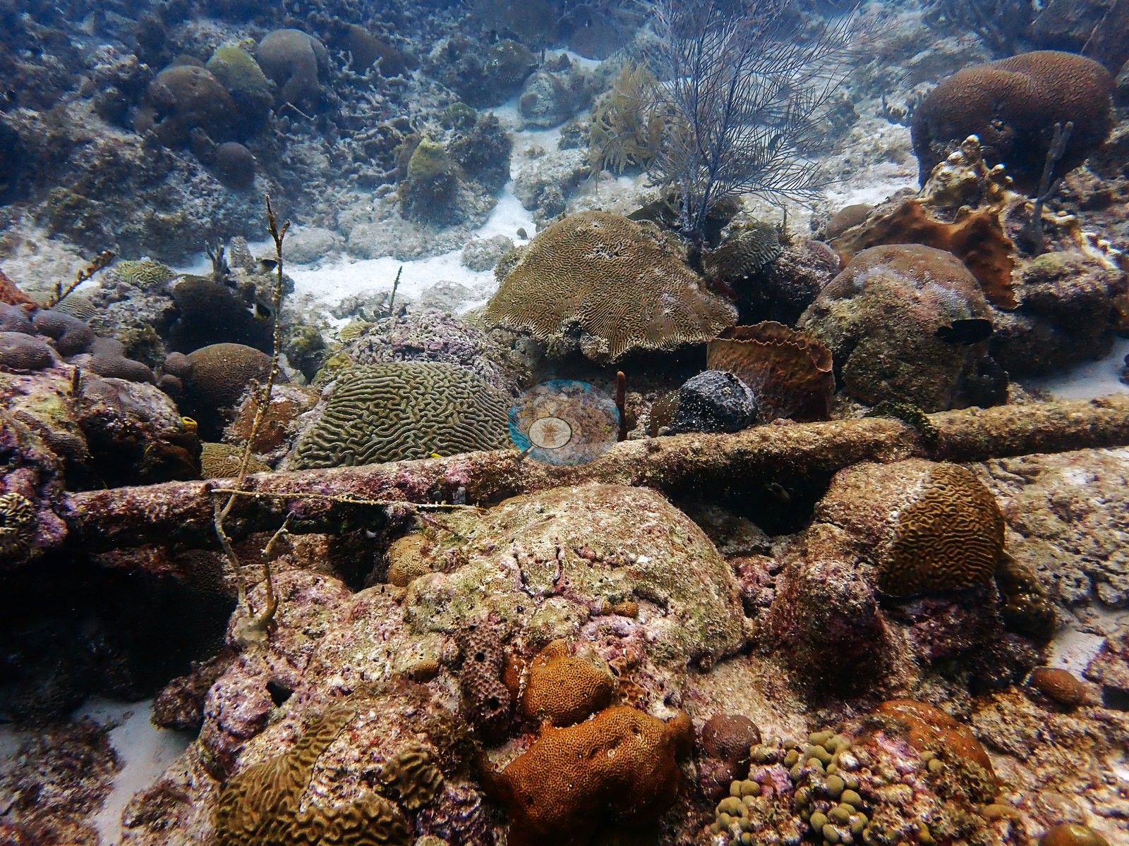
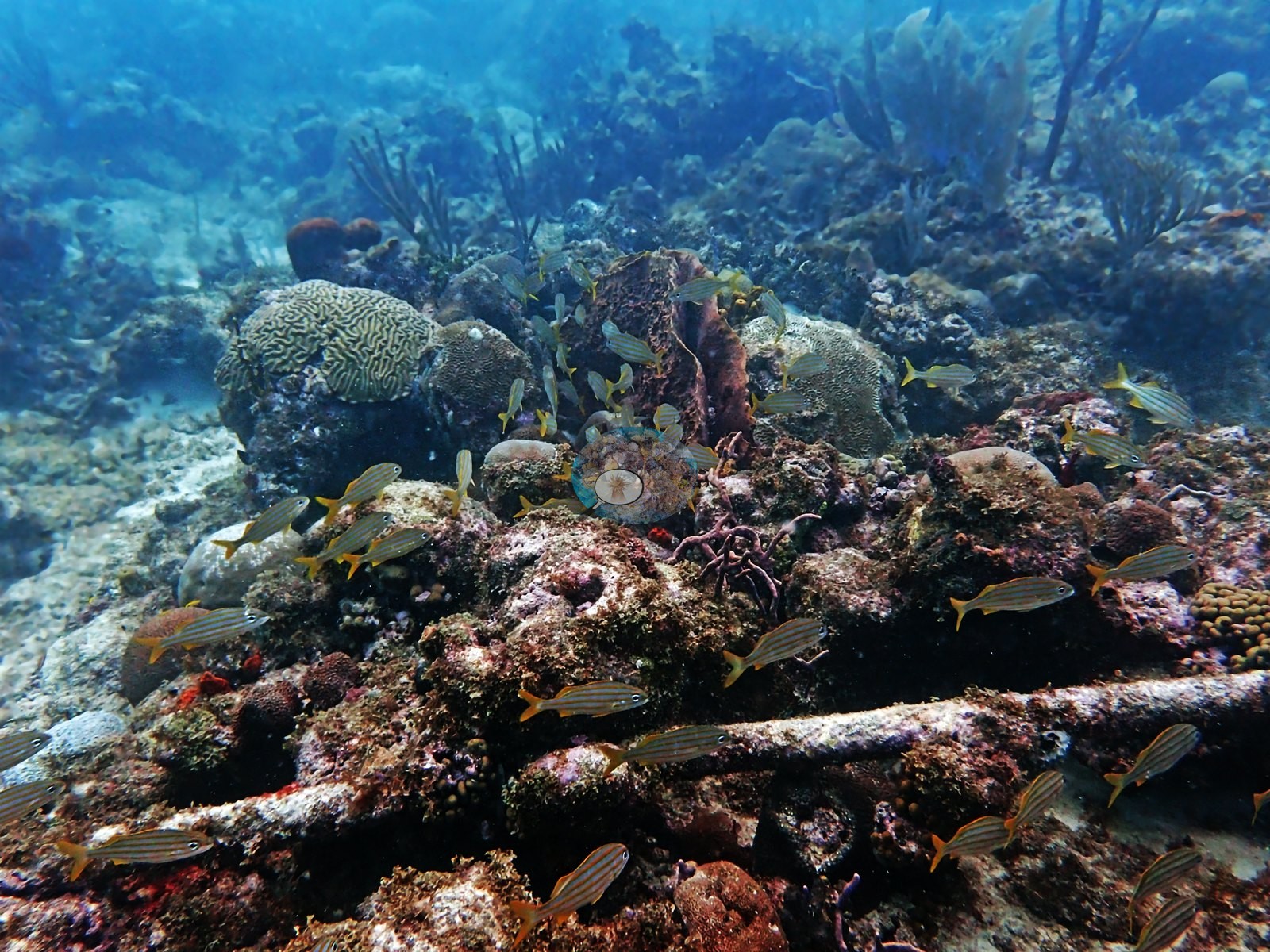
This is a brain coral reef. Structurally the site is low-relief hardground and rubble pavement in patches, cut by white sand and rising into a rolling, gorgonian-covered ridge in the middle third of the dive. The near-vertical relief is almost entirely soft coral: dense stands of sea plumes, sea rods, bushy sea fans, and single wire whips lean together into a waist-high canopy over long stretches (e.g., Image 6, Image 16, Image 17, Image 44, Image 45, Image 46, Image 48, Image 5, Image 55, Image 58), with orange and red-brown sea rods and black-coral bushes filling the gaps (e.g., Image 46, Image 49, Image 52).
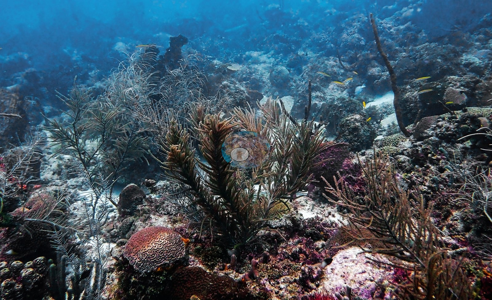
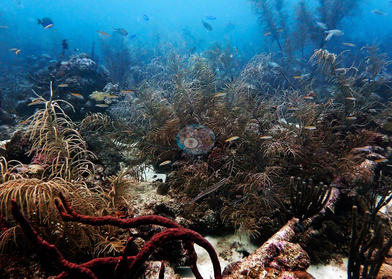
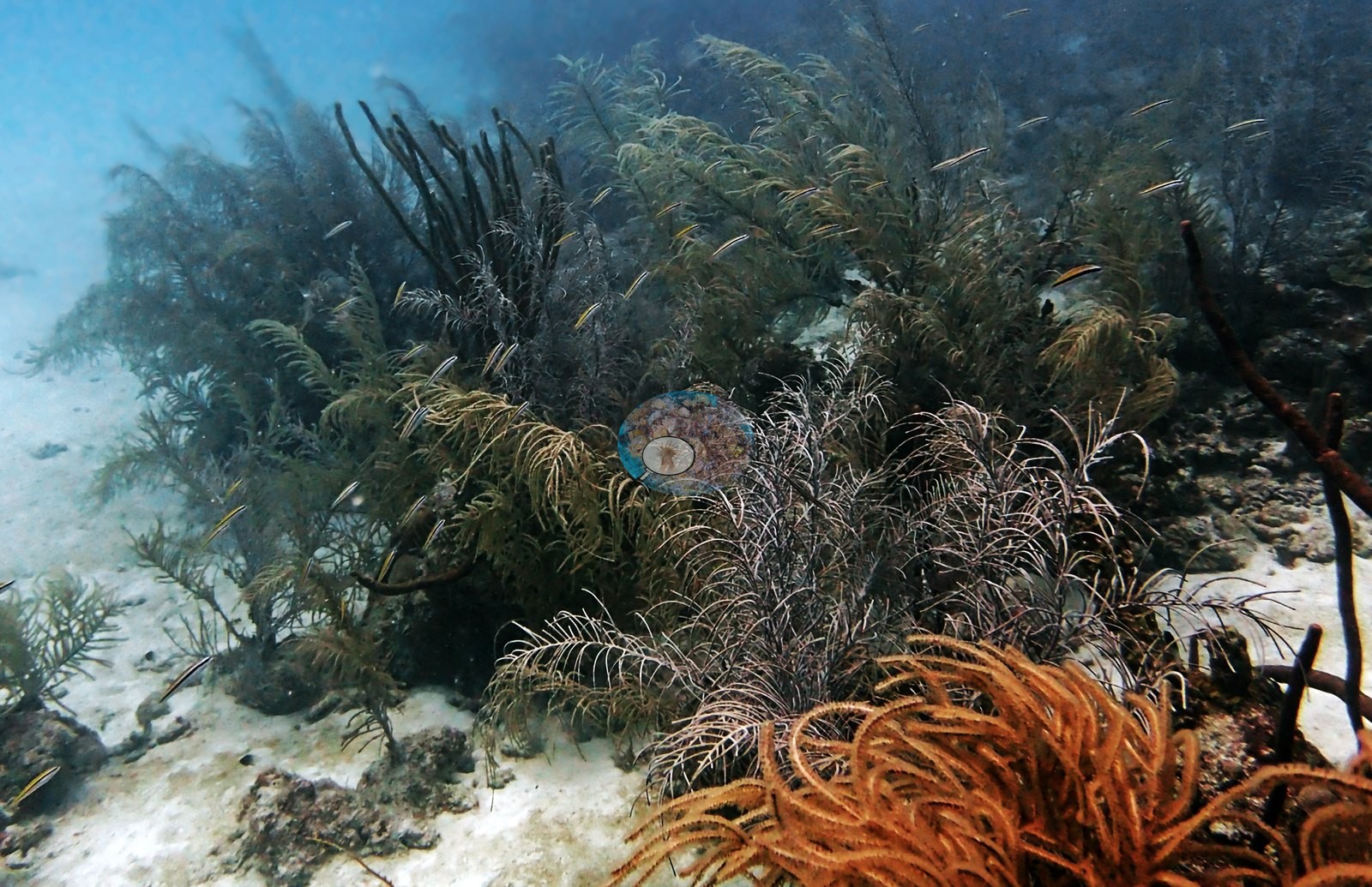
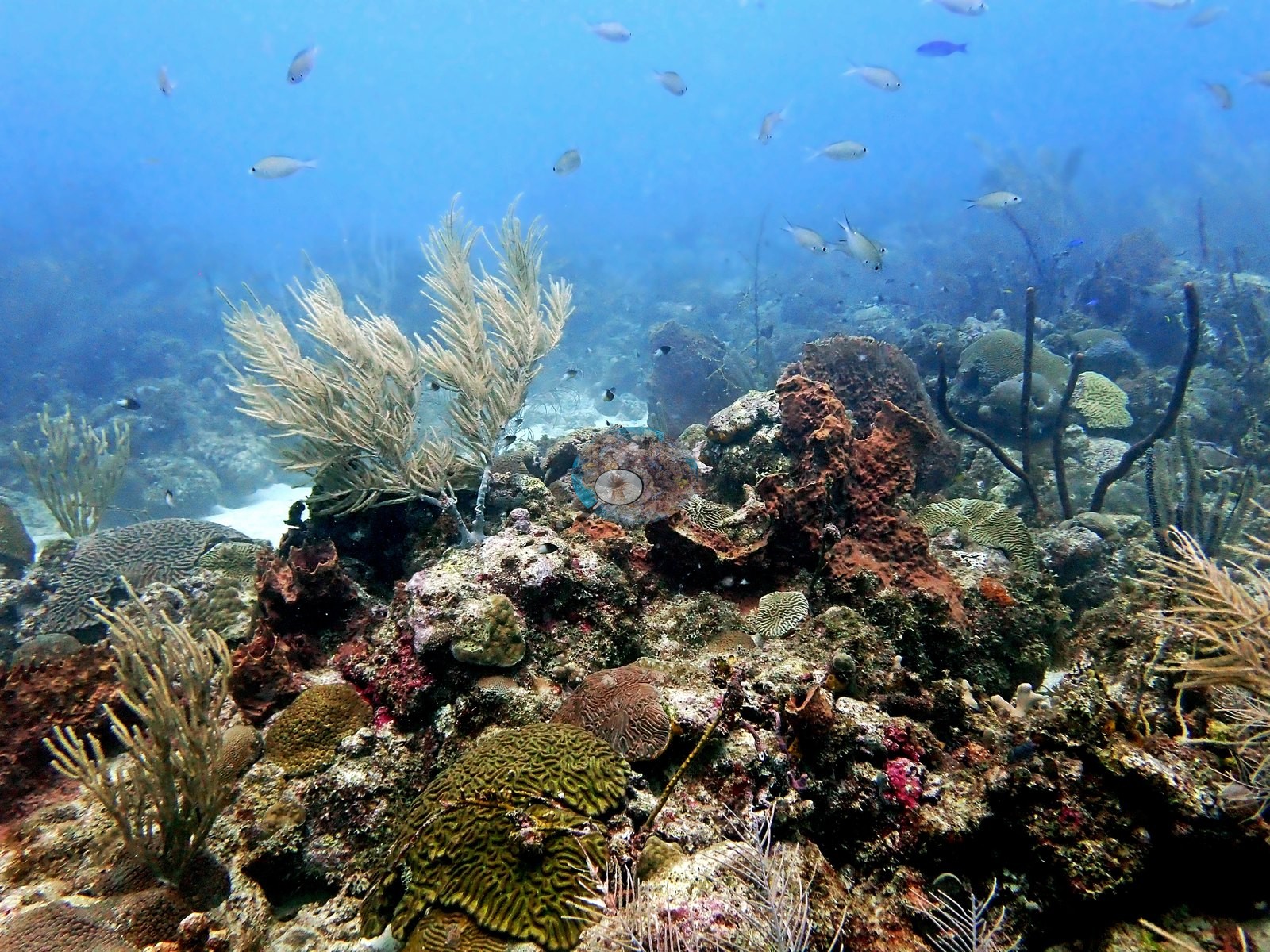
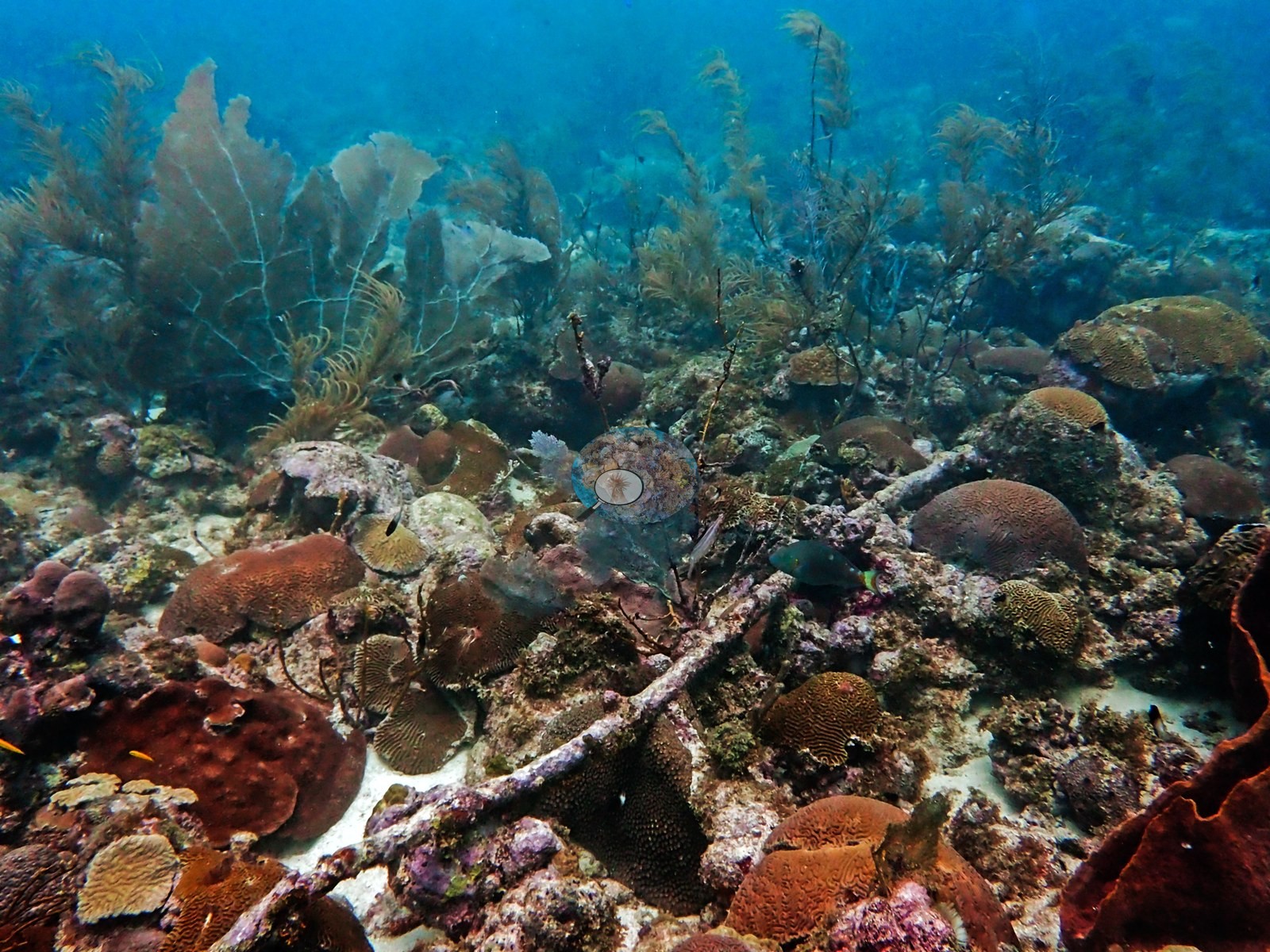
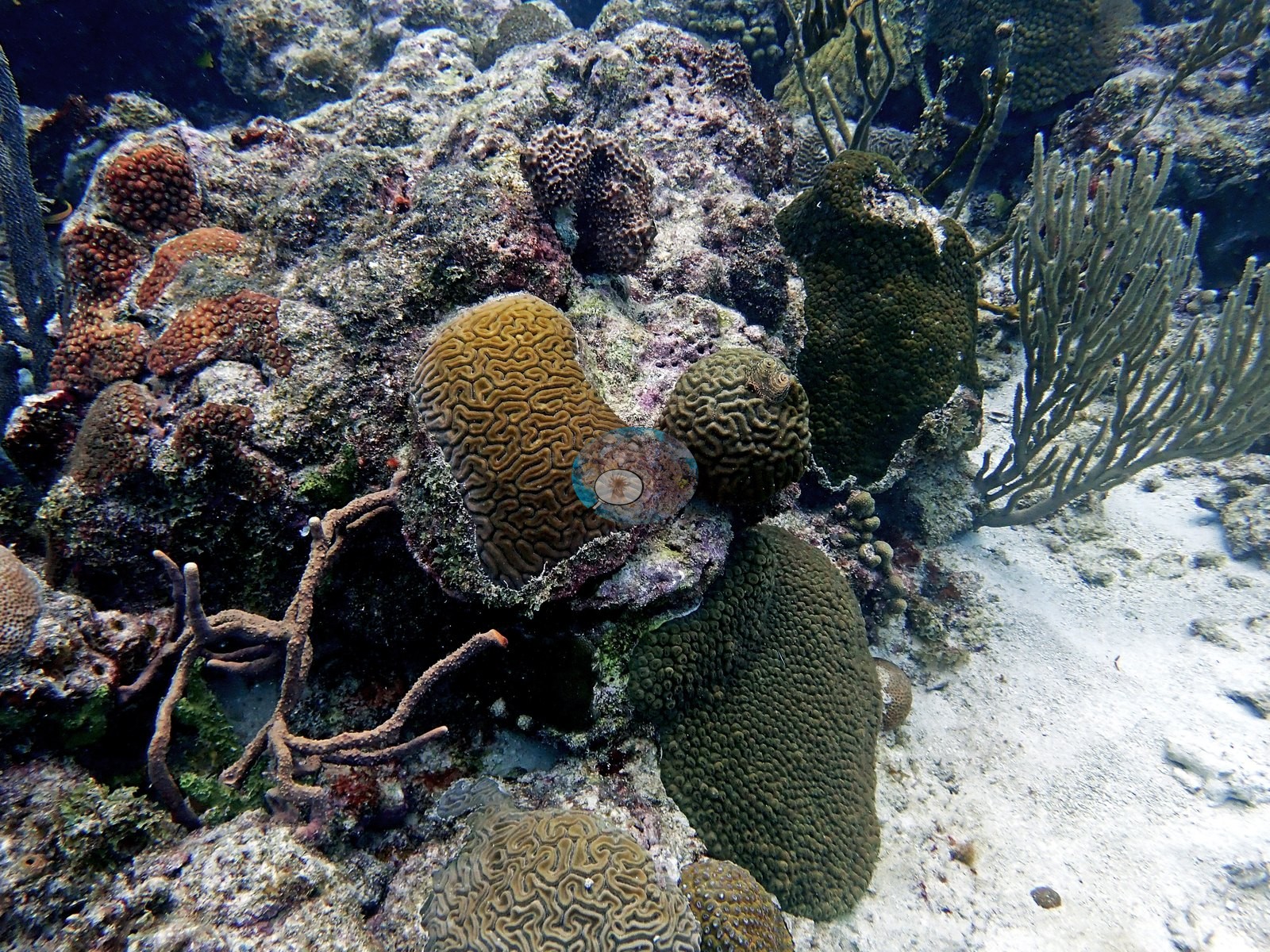
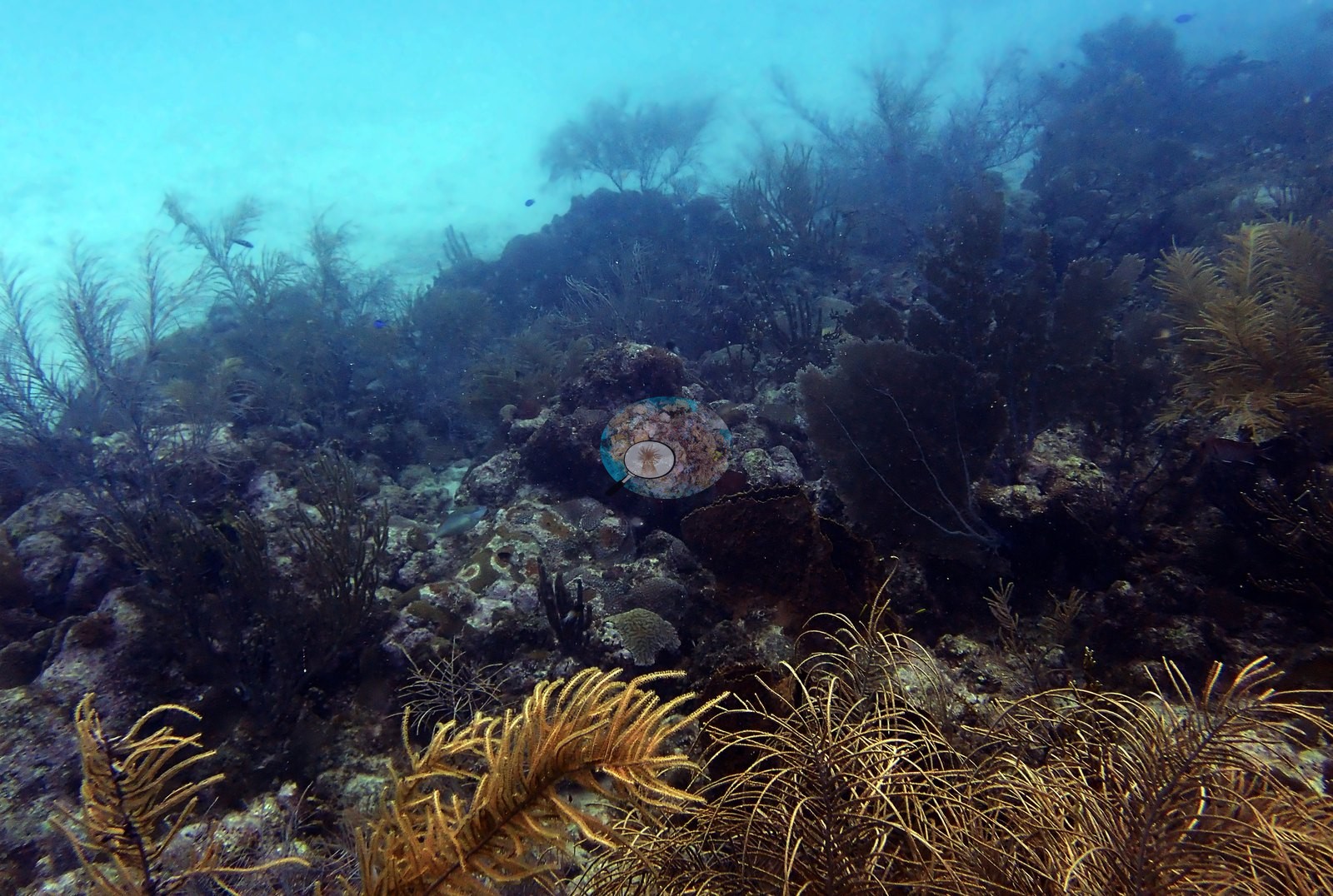
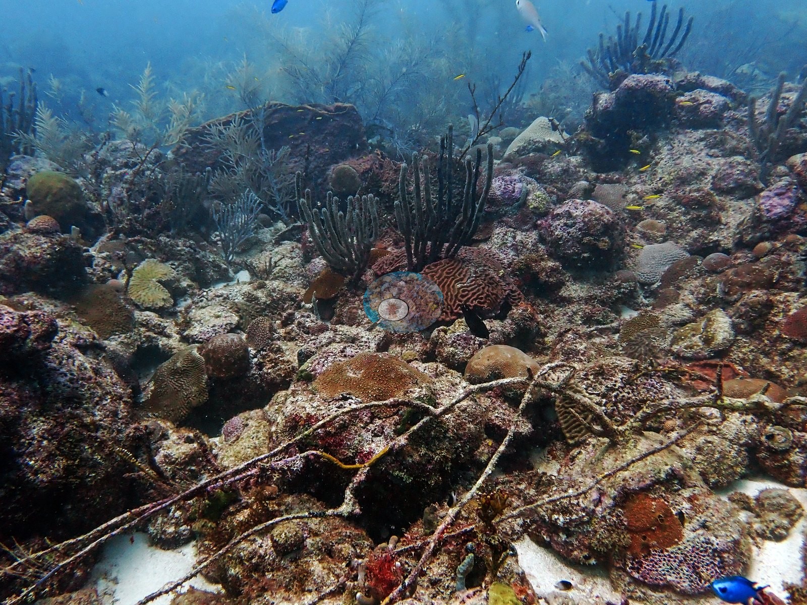
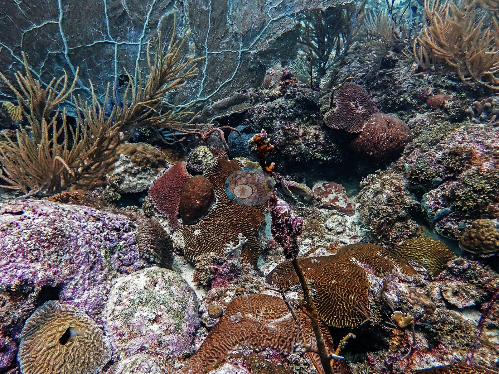
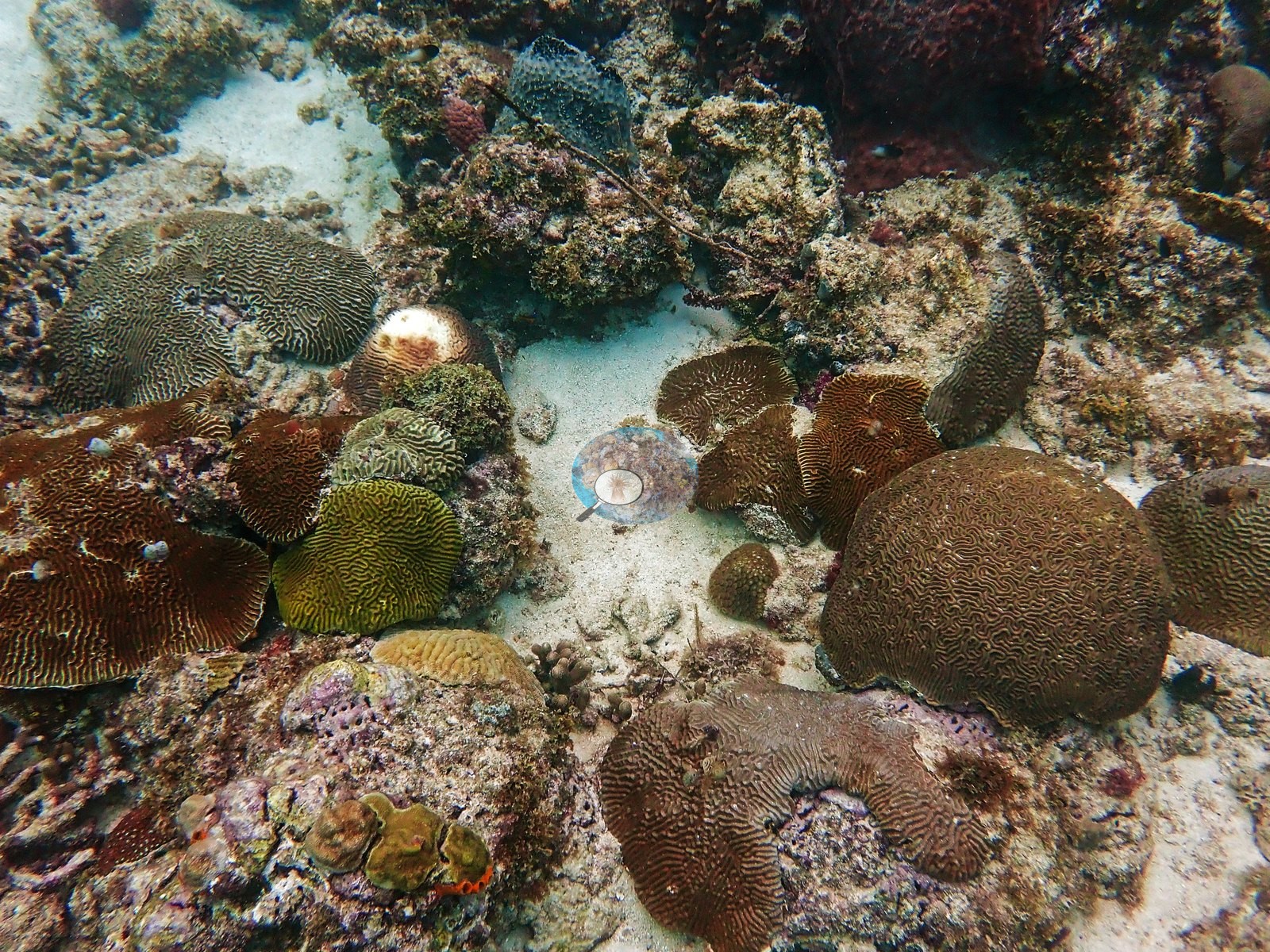
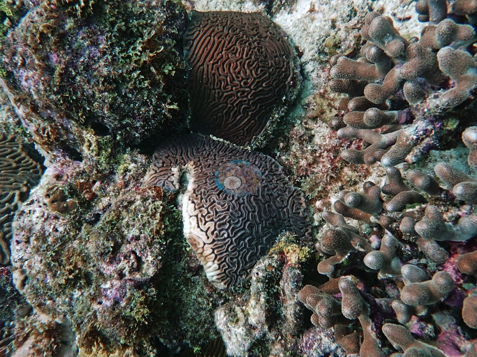
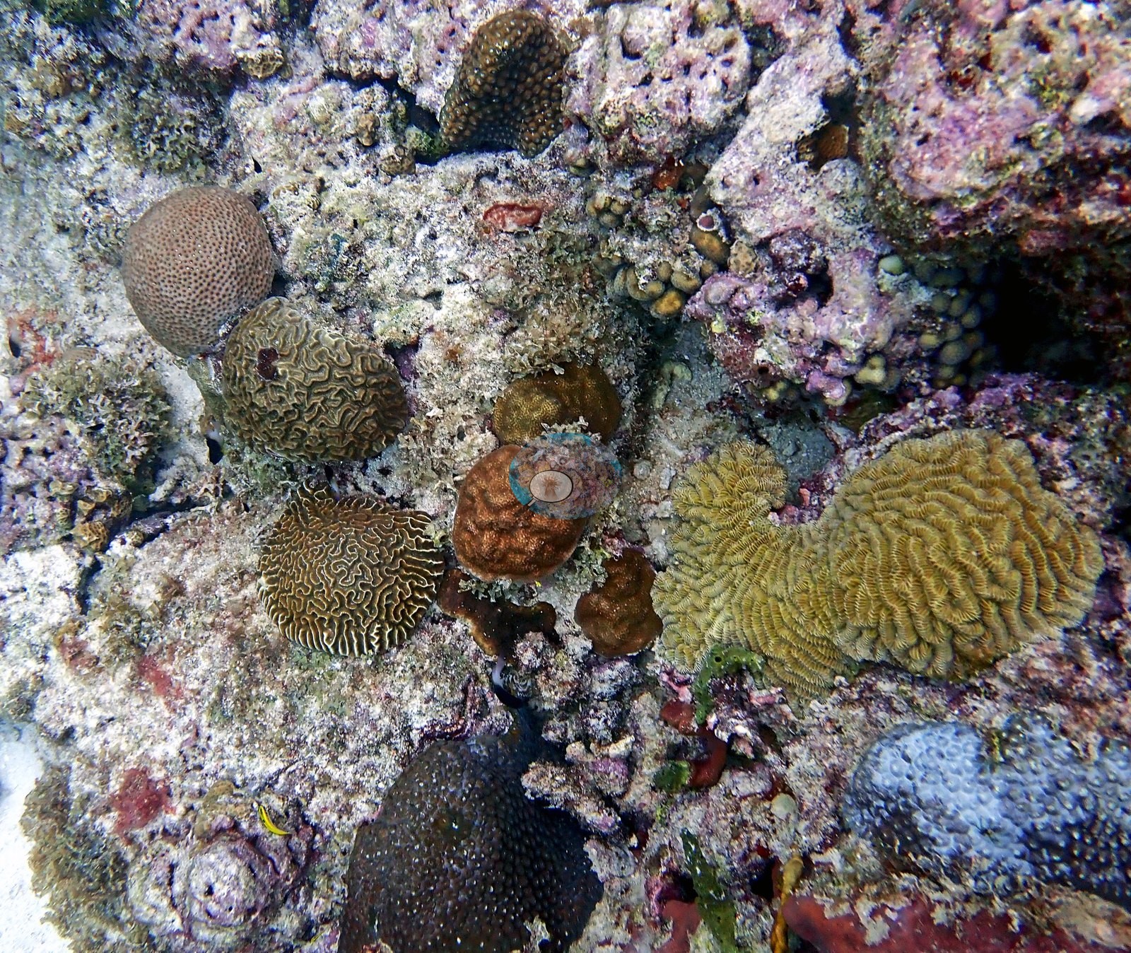
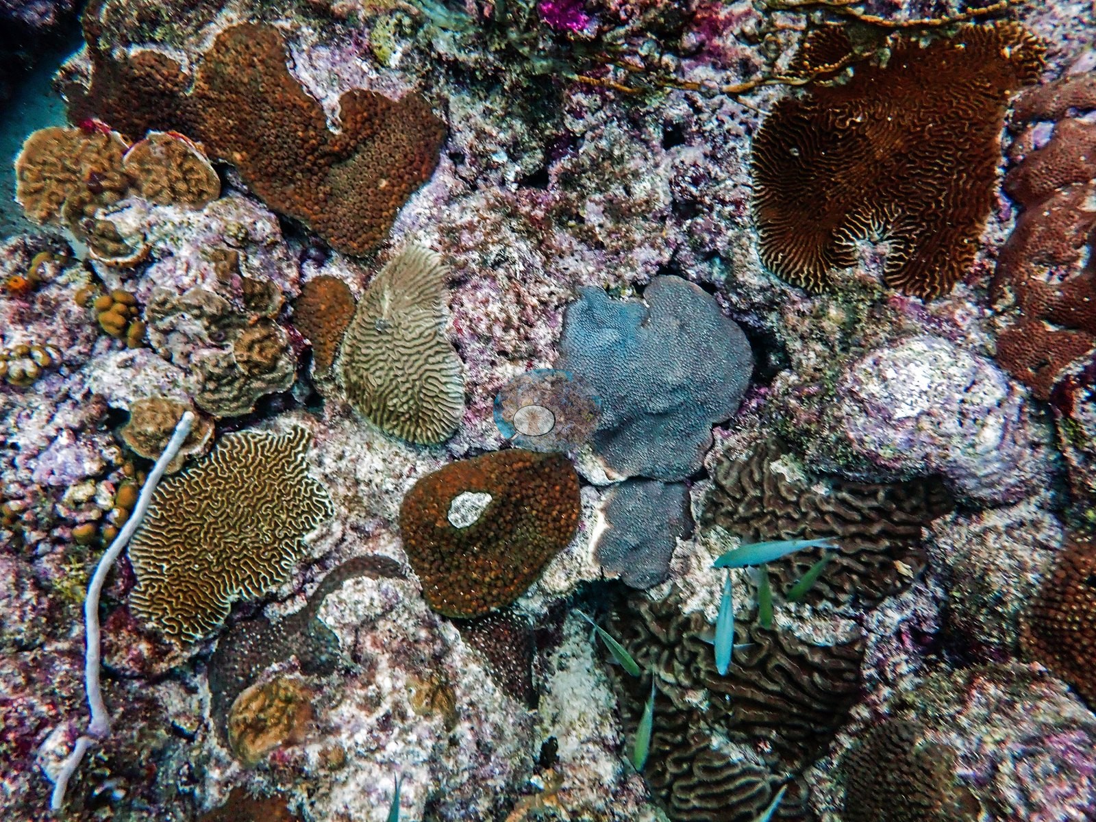
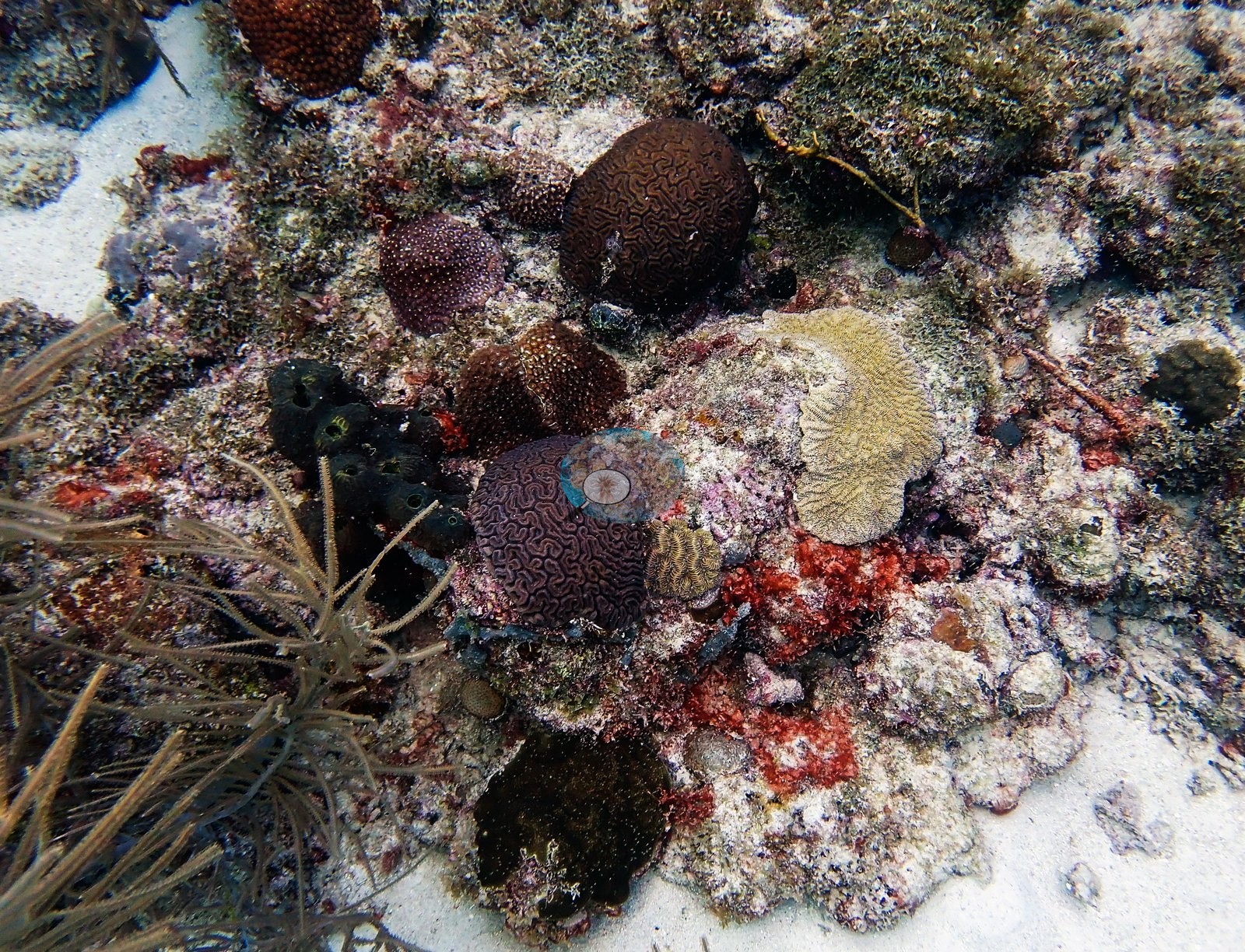
Below that canopy the stony corals are overwhelmingly massive and mounding, and brains dominate: grooved and meandering-valley colonies in olive, mustard, chocolate, and cream at every size from a fist to well over a meter (e.g., Image 1, Image 2, Image 18, Image 22, Image 23, Image 24, Image 25, Image 3, Image 30, Image 31, Image 34, Image 35, Image 36, Image 39, Image 4, Image 42, Image 50, Image 52, Image 53, Image 54, Image 55, Image 57).
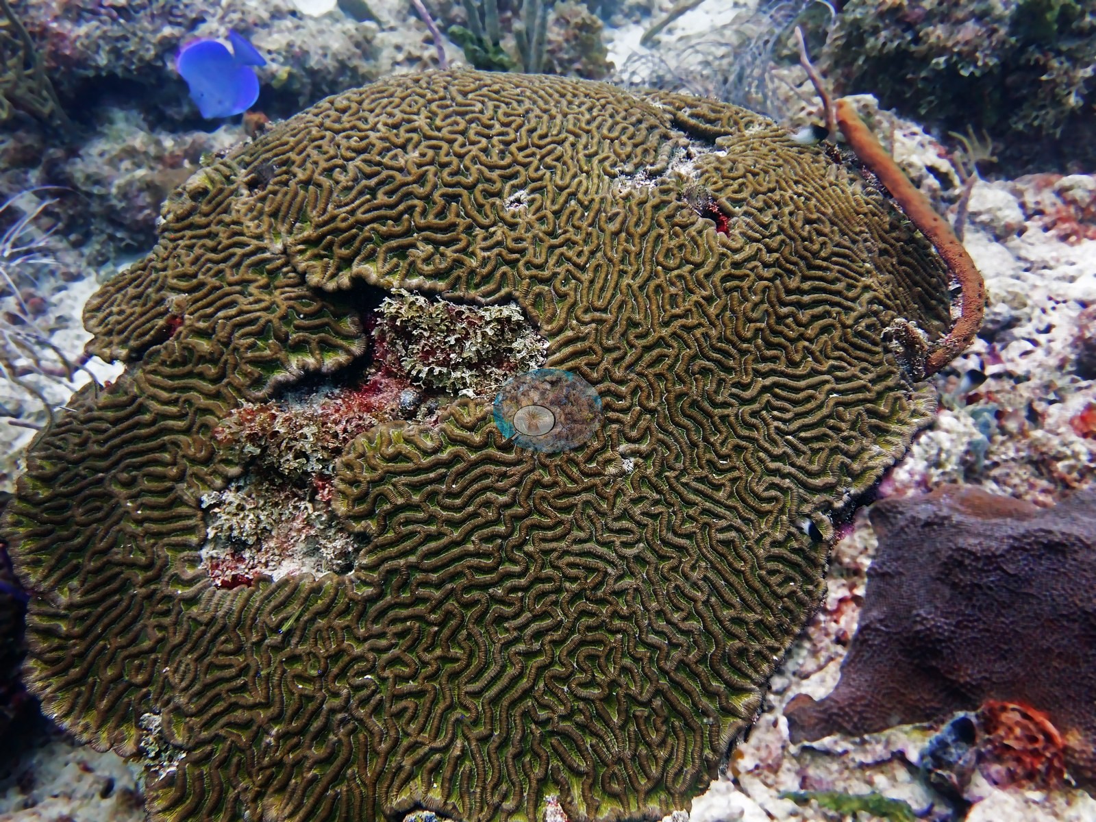
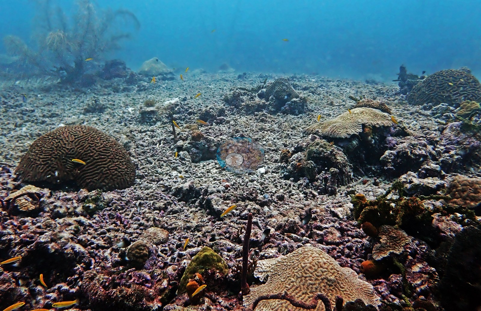
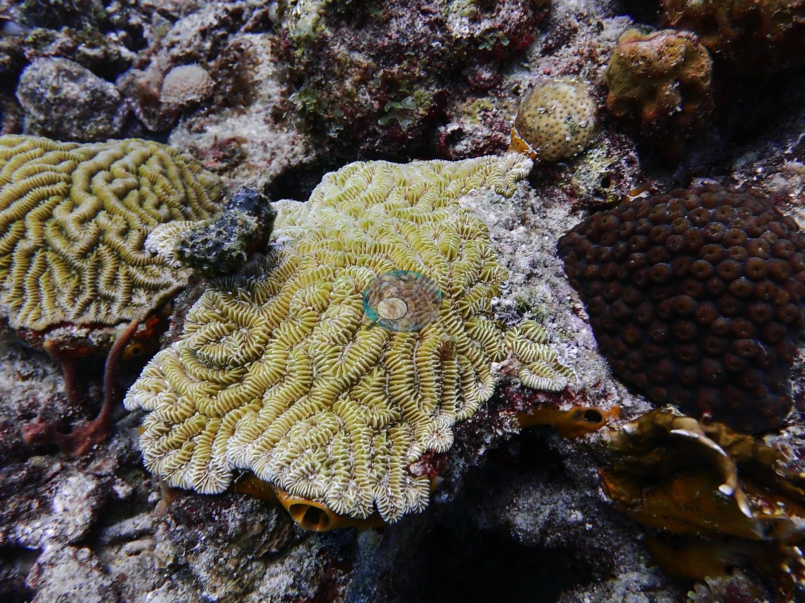
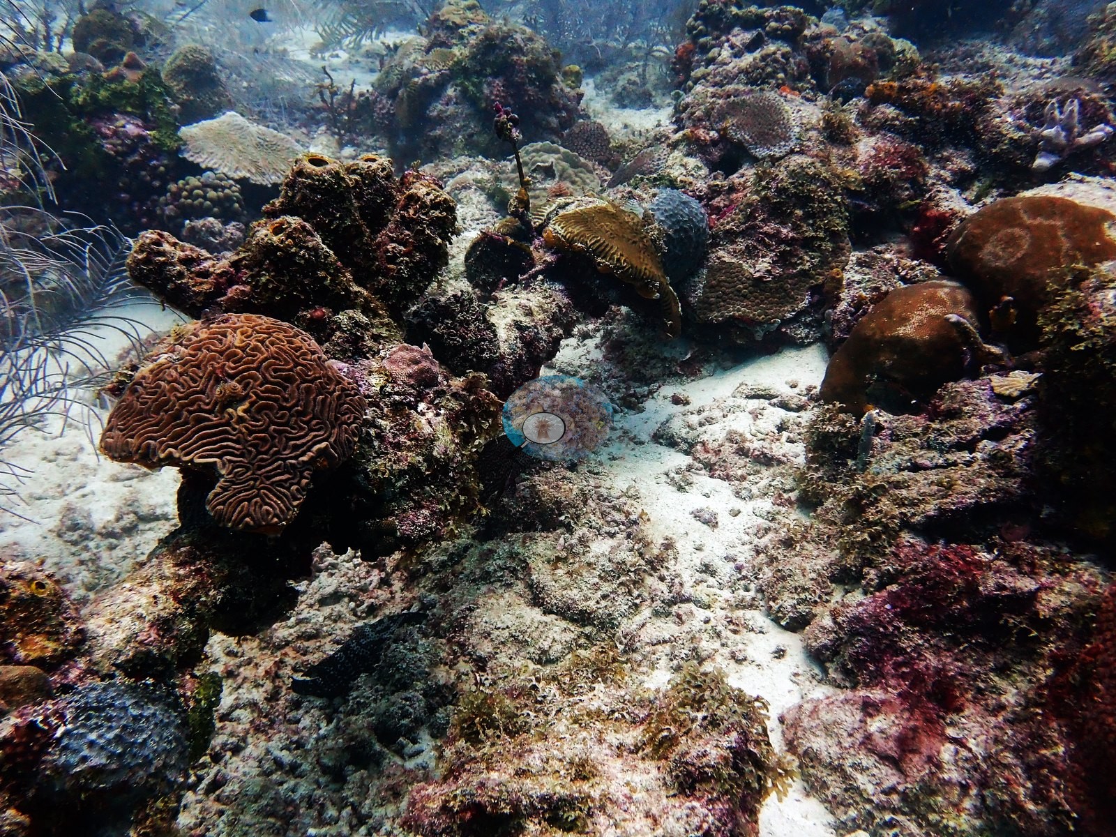
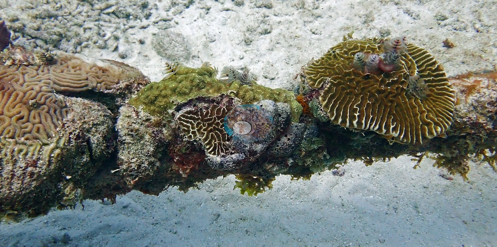
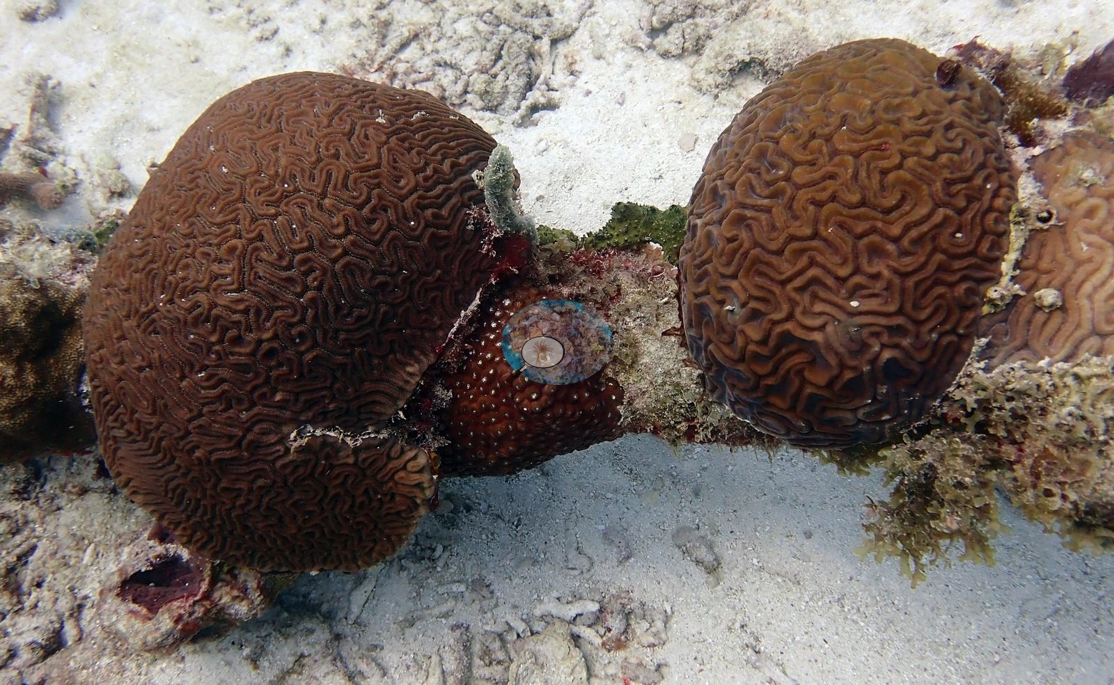
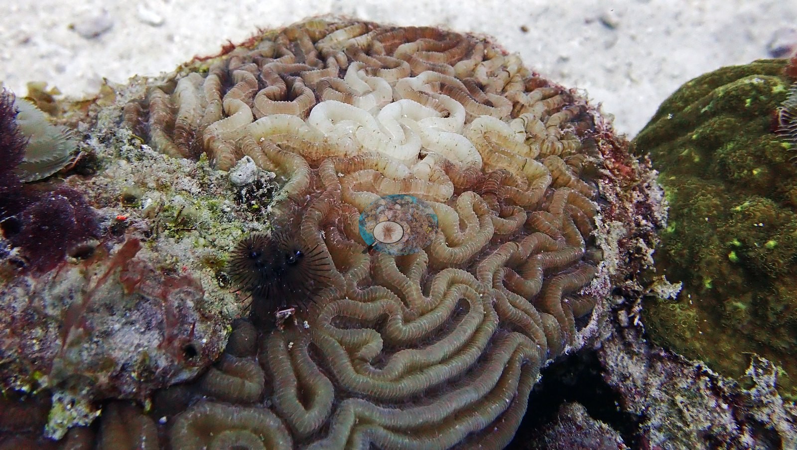
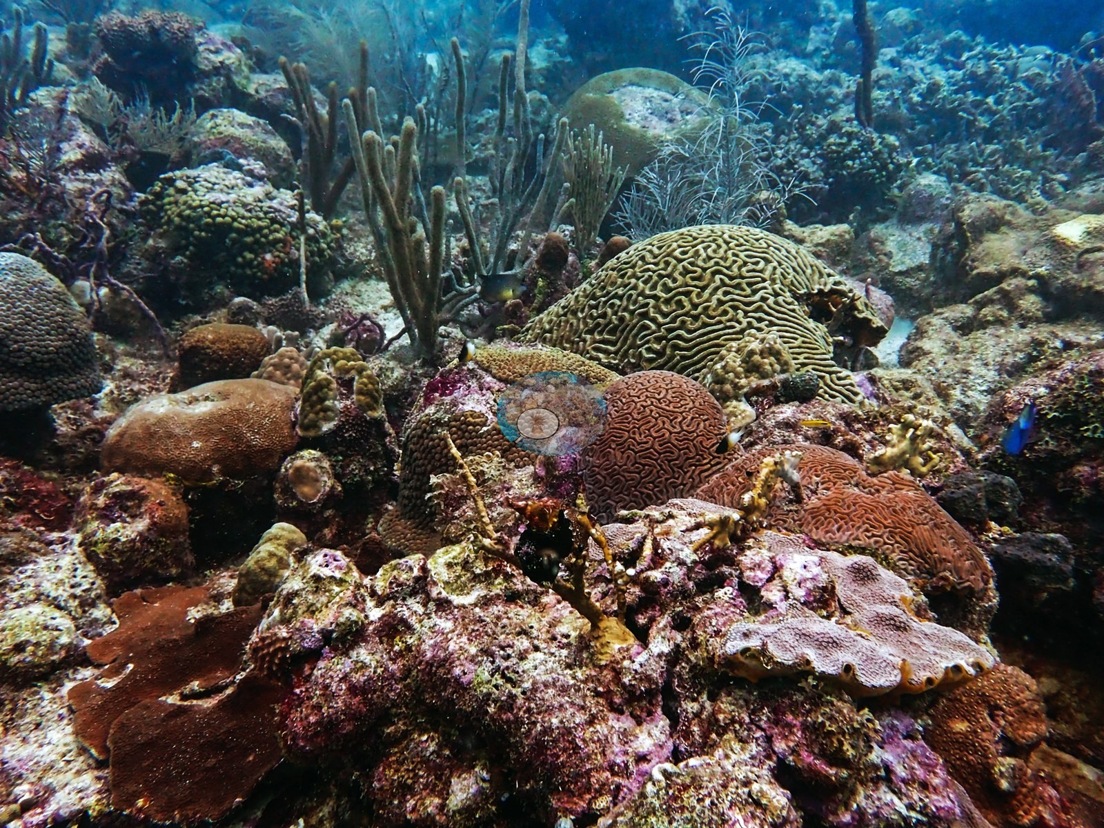
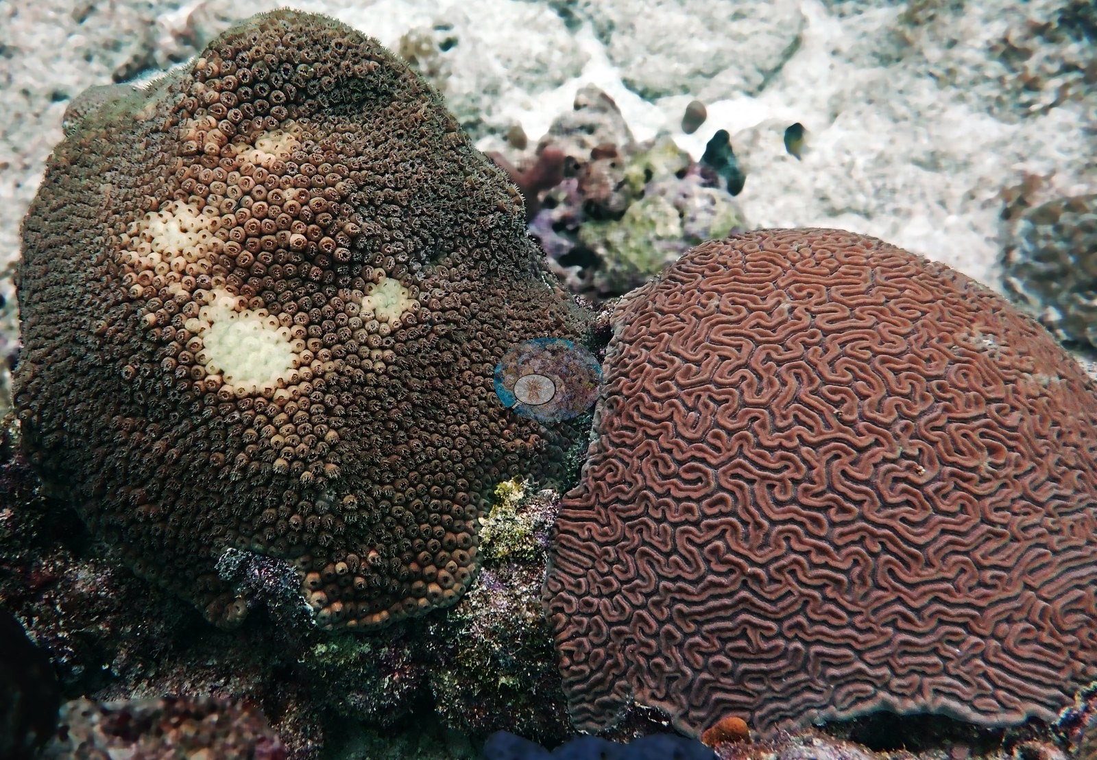
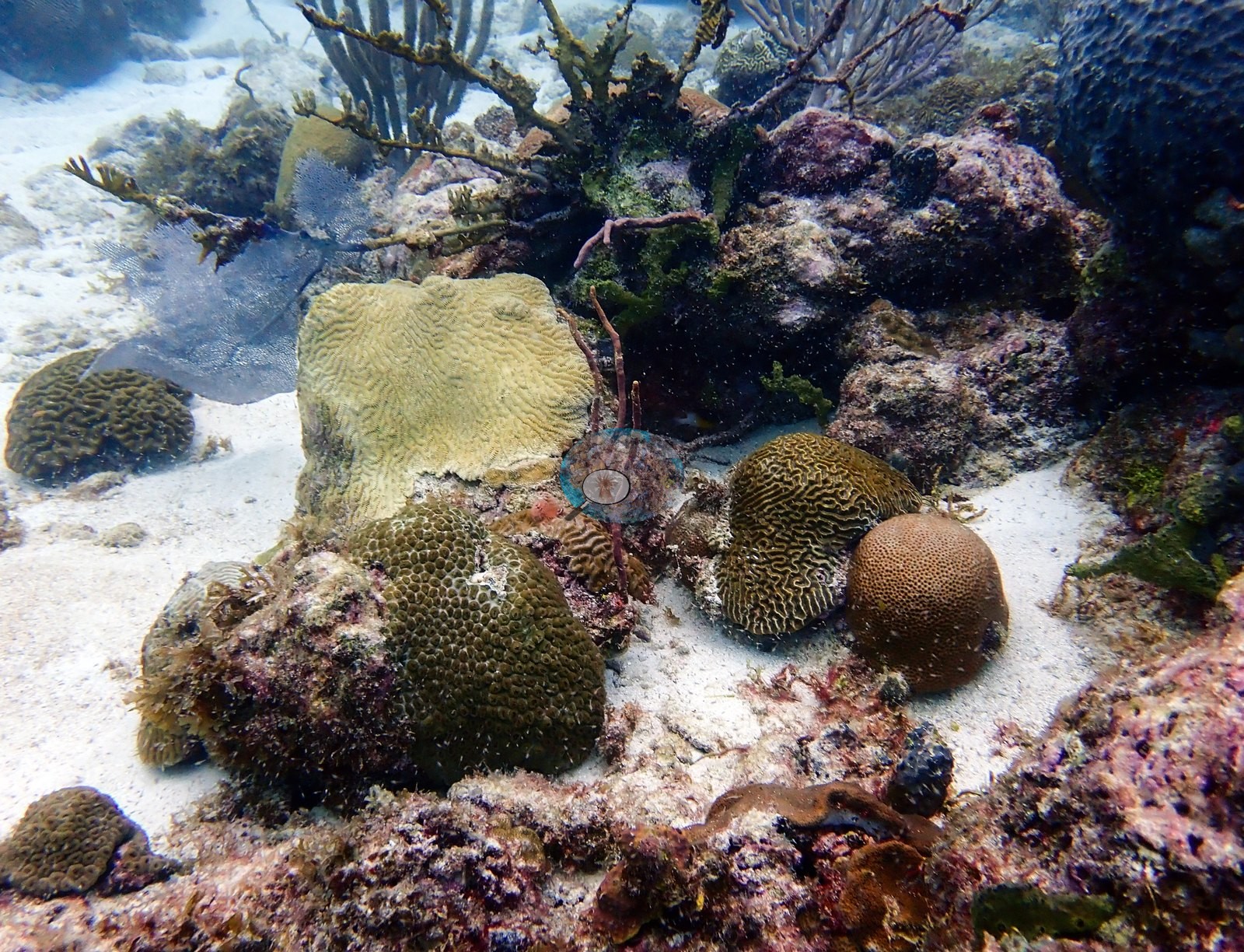
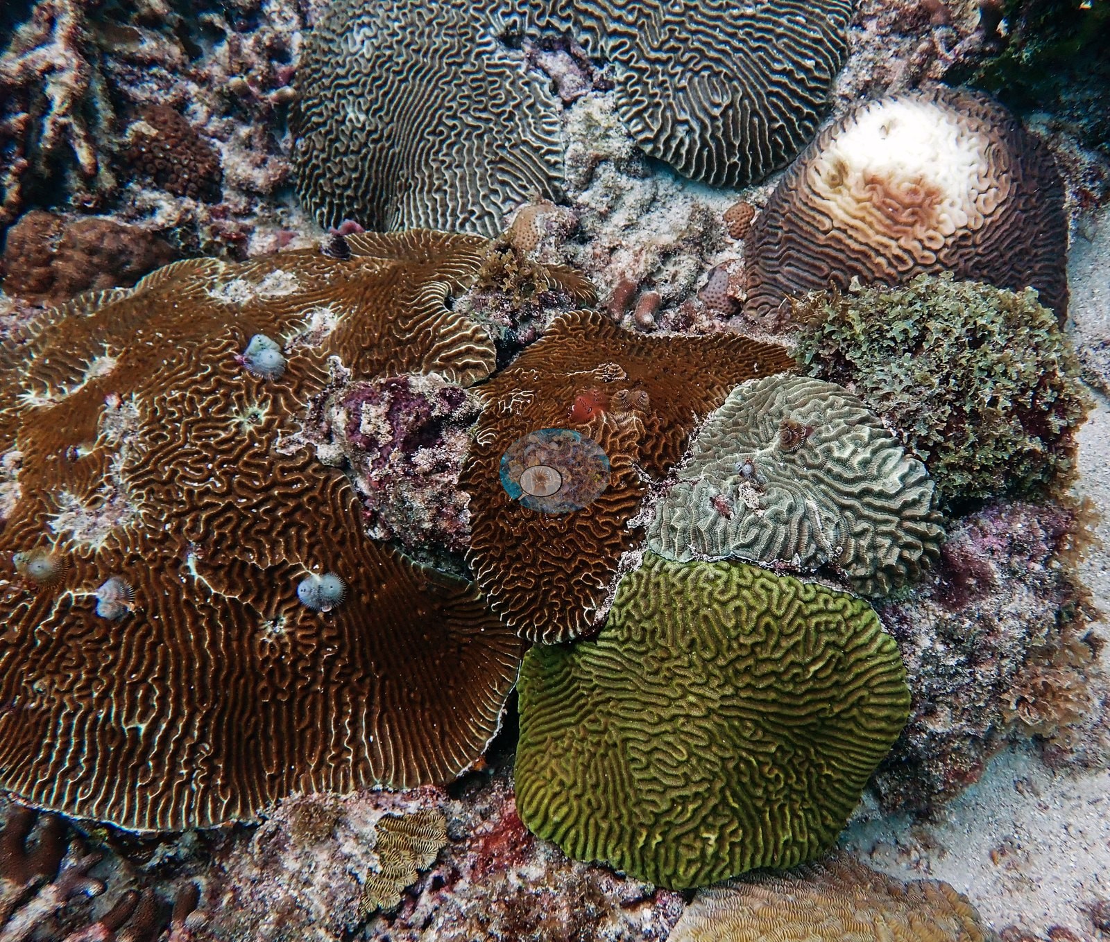
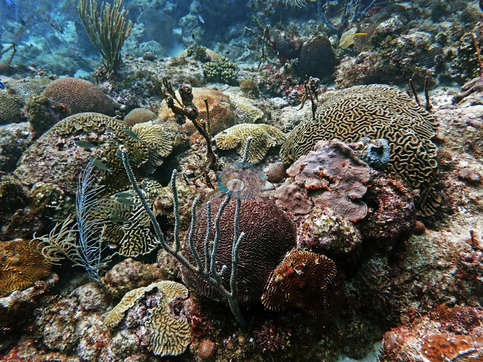
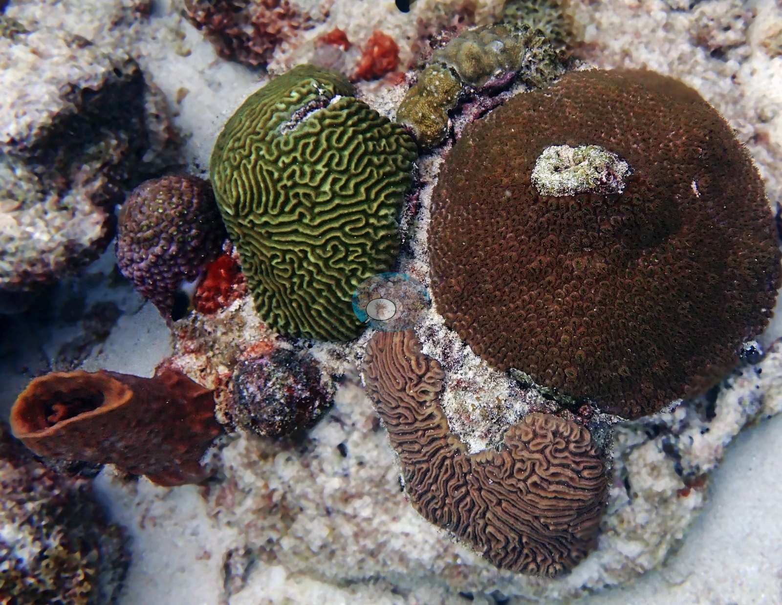
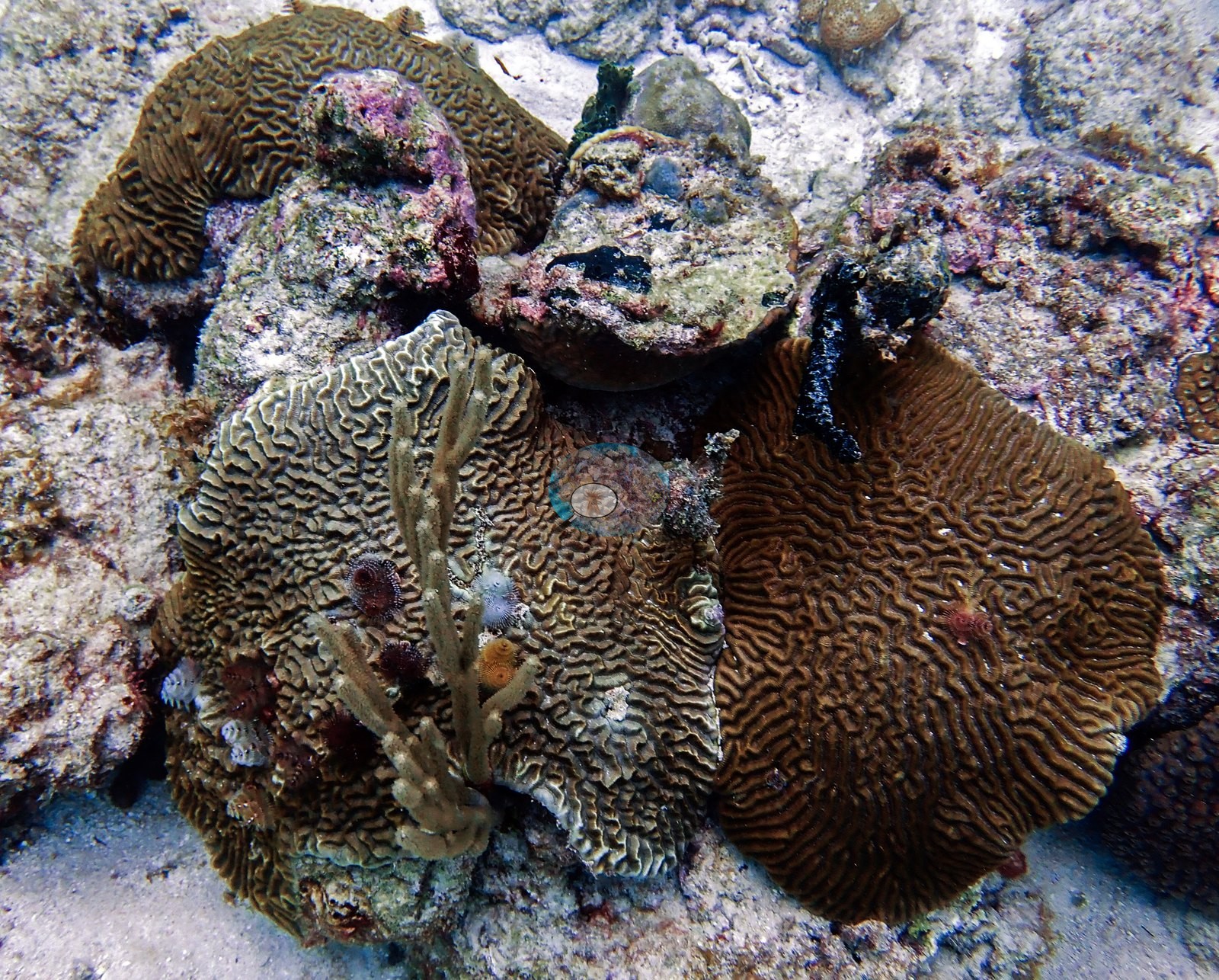
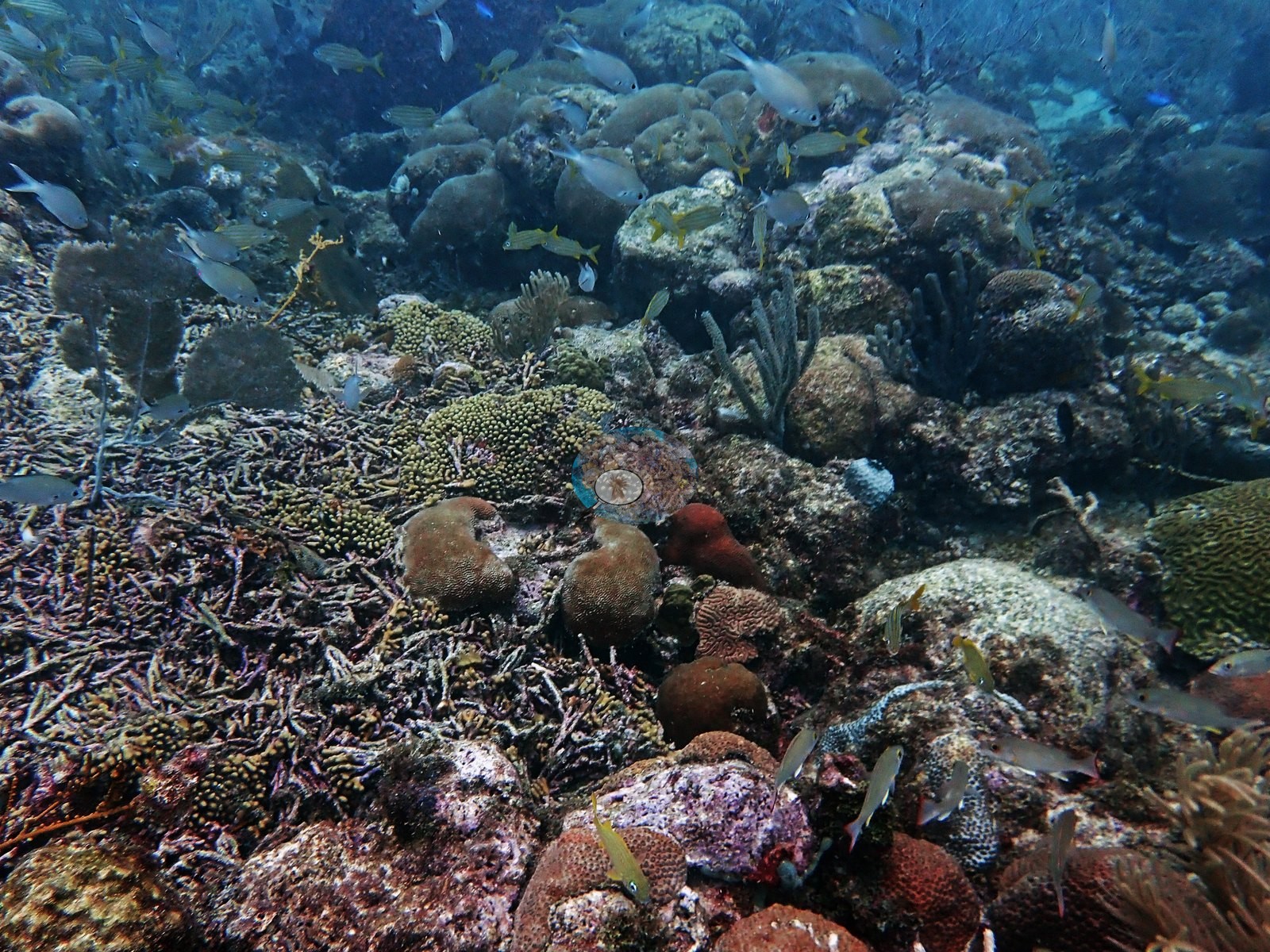
Several are handsome, intact, sharp-ridged colonies — the Colpophyllia in Image 1 (Anderson's identification) is a broad boulder-brain over a meter across with its valleys crisp across nearly the whole dome. With them are low mounding heads with coarse widely spaced corallites (e.g., Image 14, Image 27, Image 29, Image 30), plating and encrusting lettuce-form colonies (e.g., Image 36, Image 4, Image 54), stubby brown finger clusters (e.g., Image 11, Image 4), and small star-corallite massives (e.g., Image 32, Image 52, Image 56).
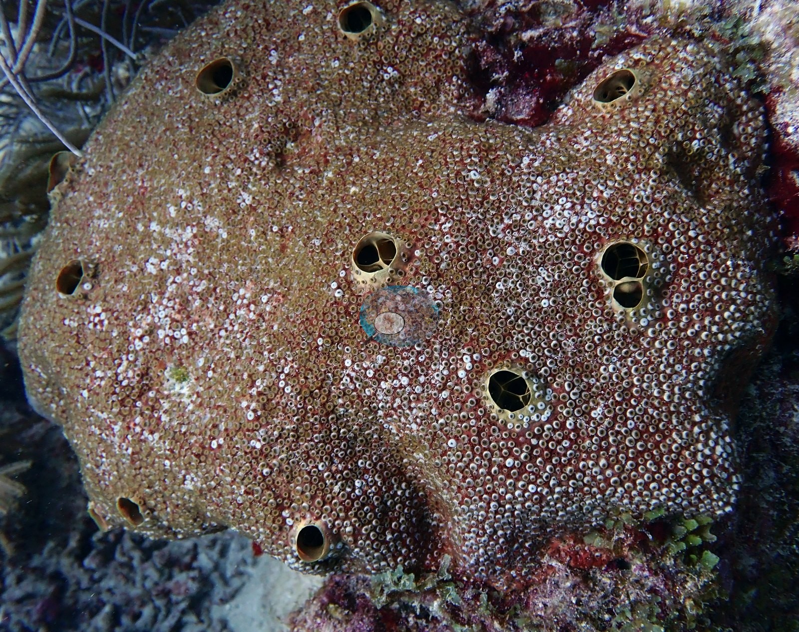
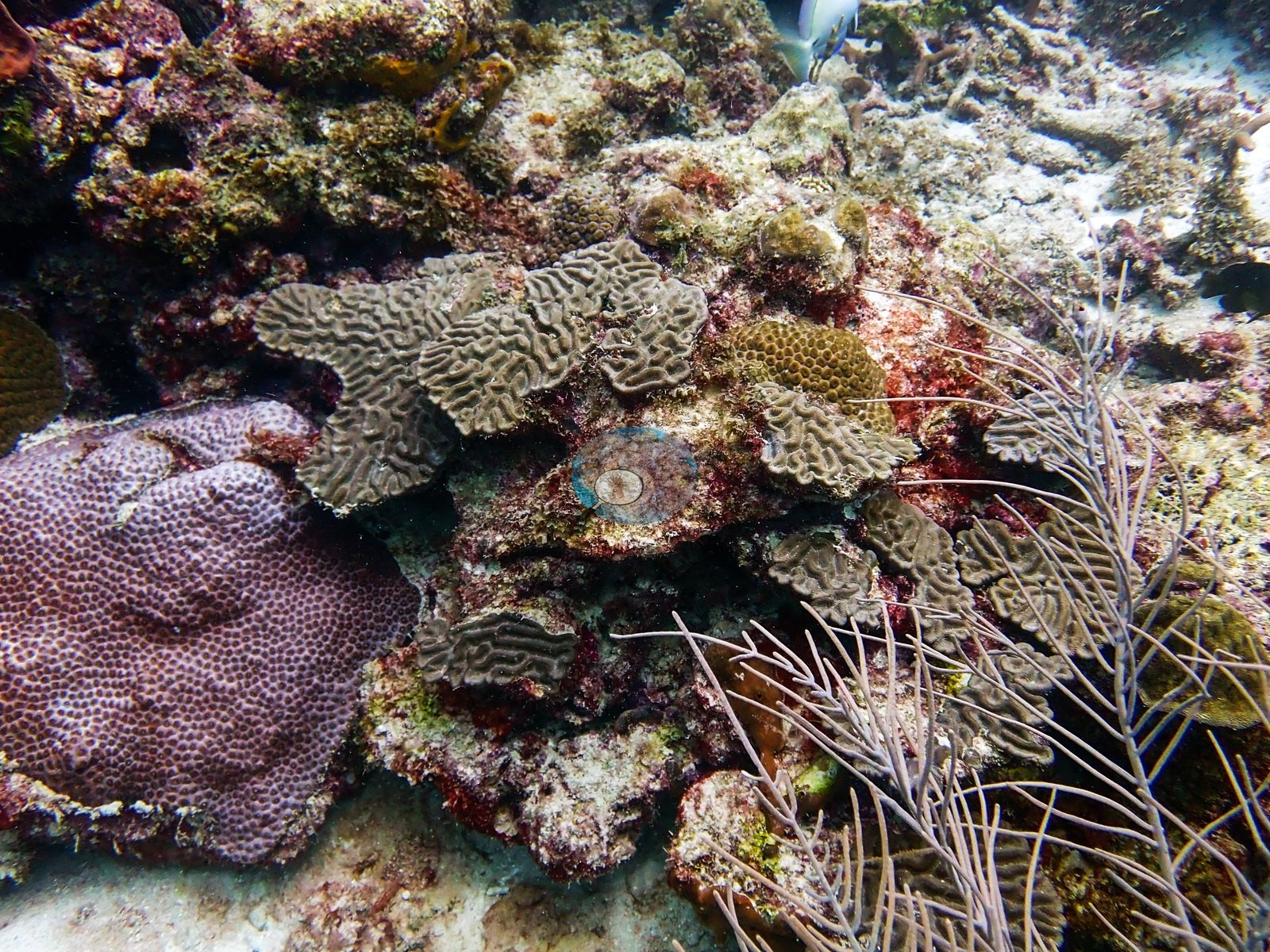
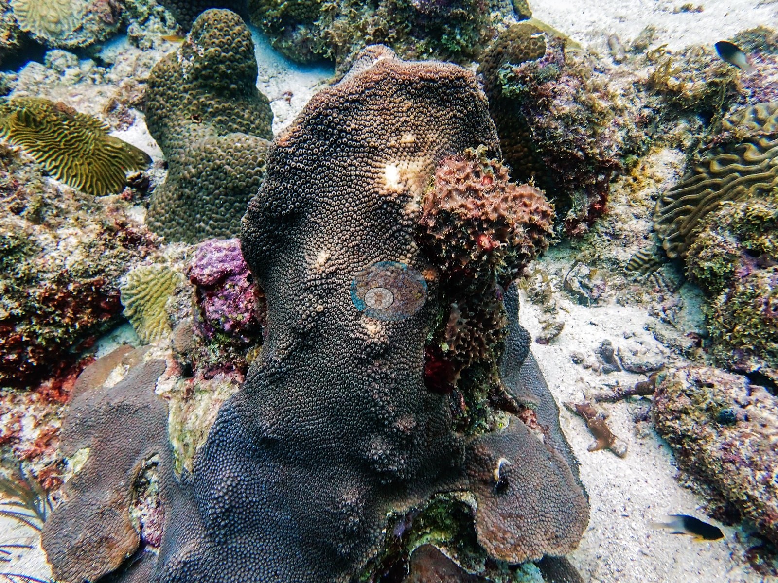
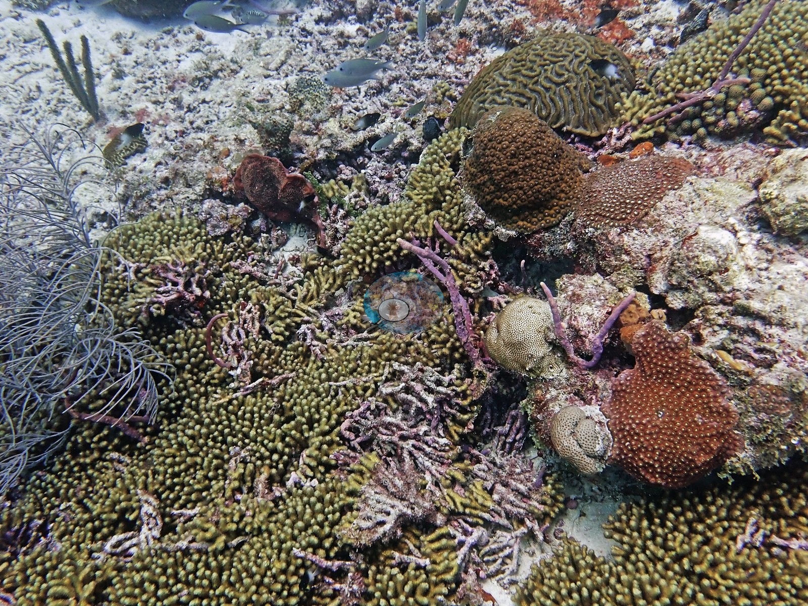
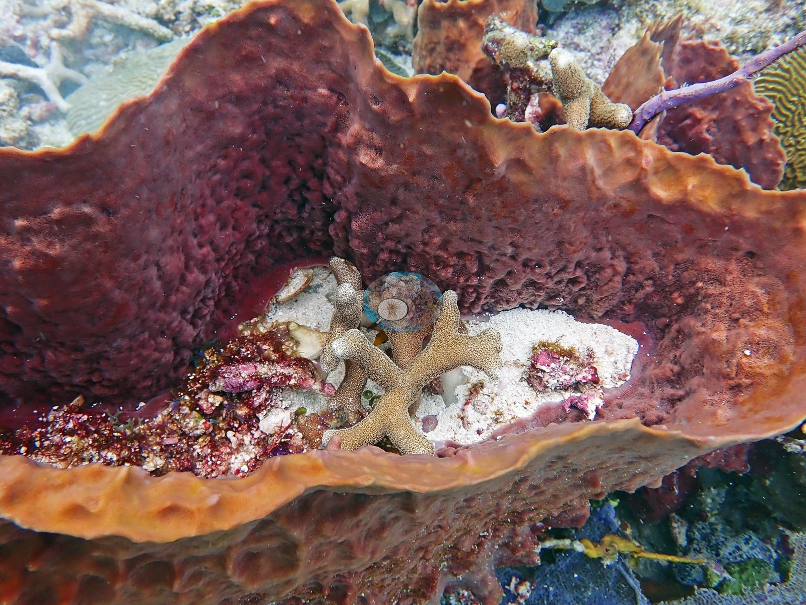
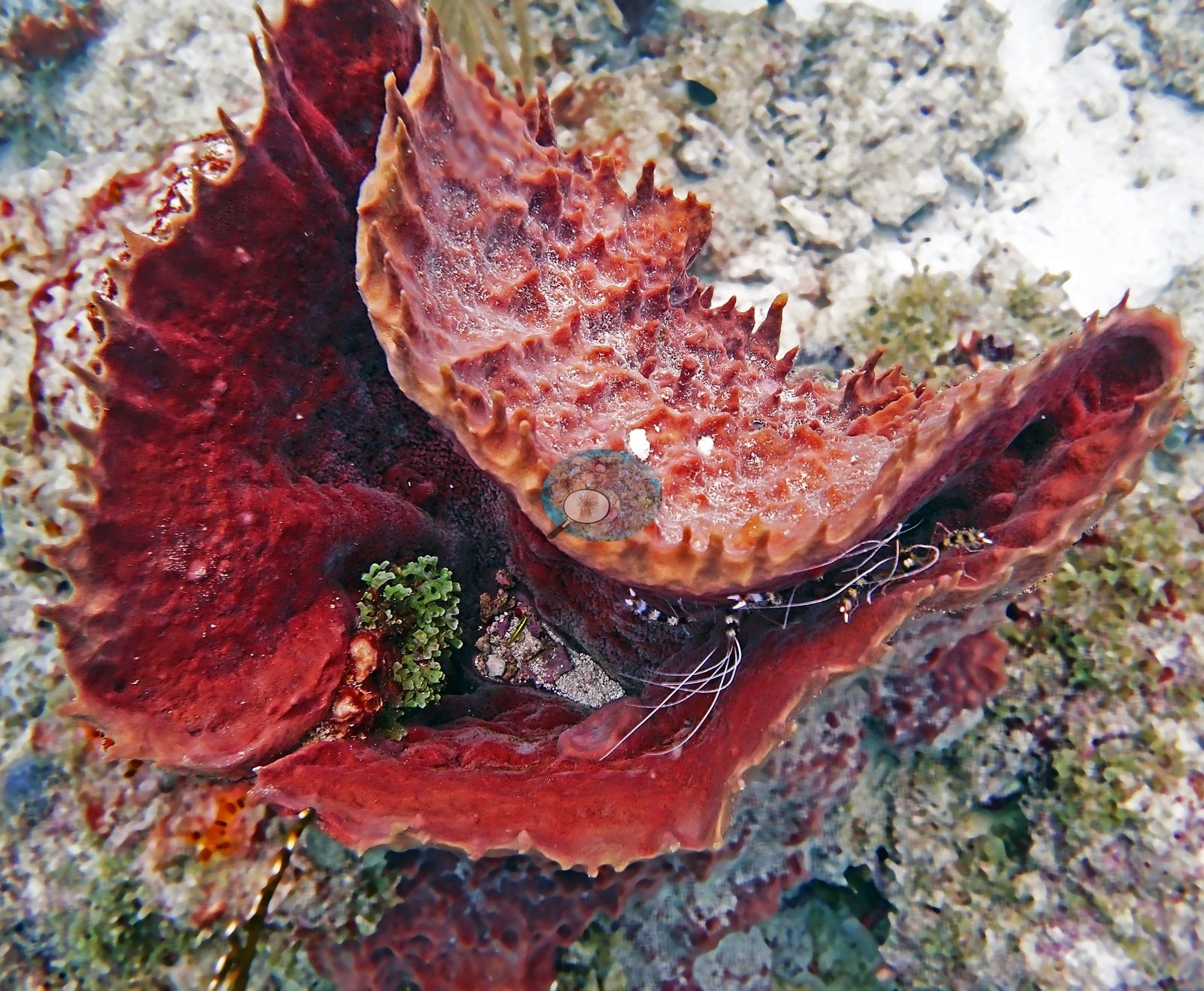
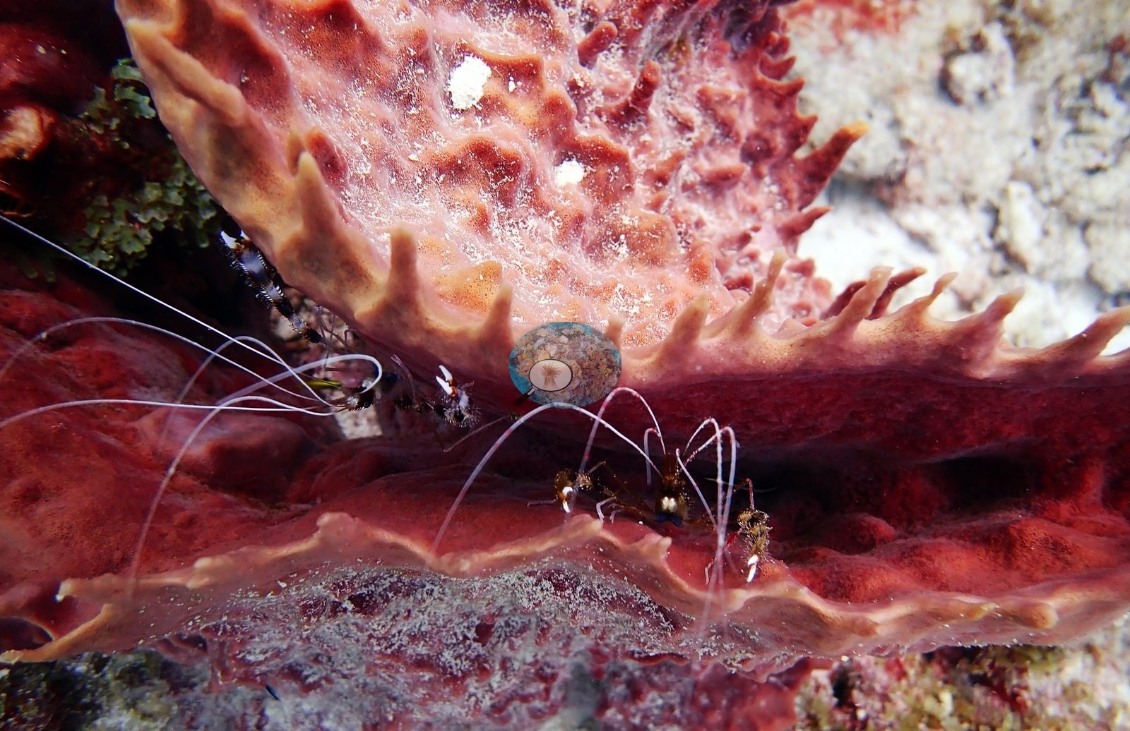
Barrel, tube, and vase sponges anchor the hardground throughout, in red-brown, orange, purple-gray, and yellow (e.g., Image 8, Image 9, Image 14, Image 26, Image 43, Image 47, Image 5, Image 53, Image 56, Image 59, Image 63), and one large red-brown barrel carries a small stony colony growing inside its lumen (e.g., Image 59).
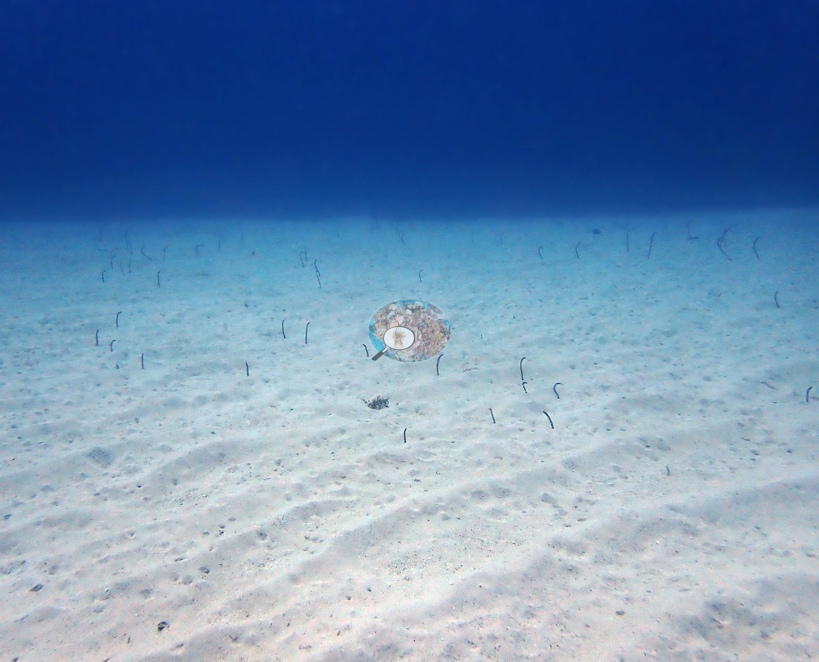
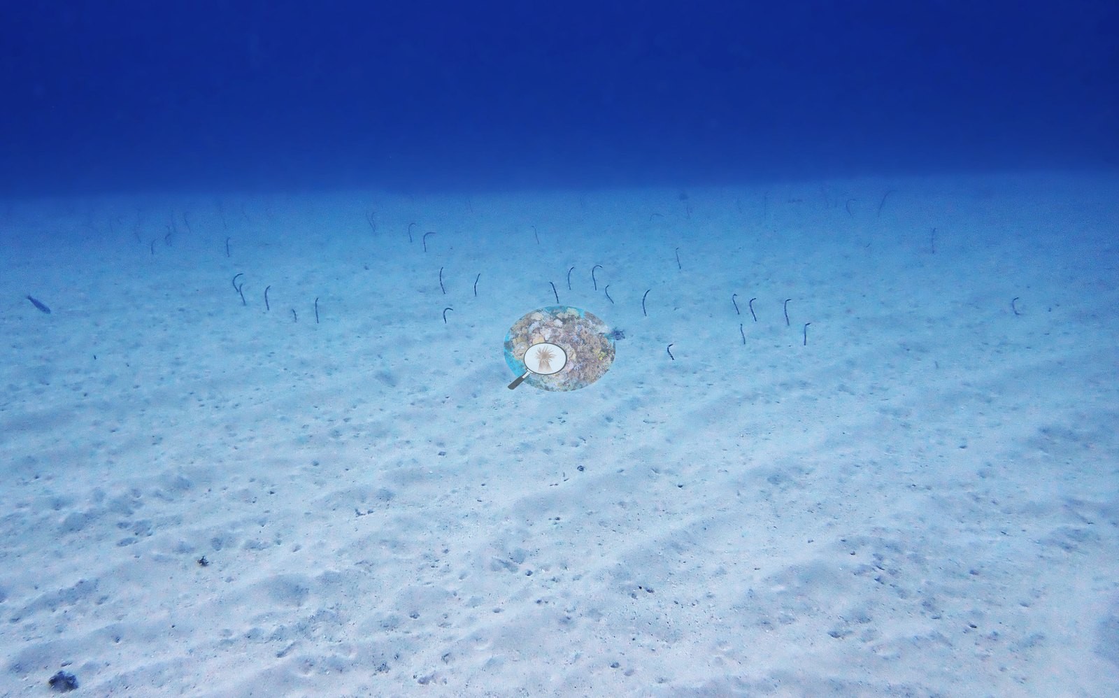
Two open sand plains, one at each end of the dive, hold colonies of garden eels standing out of the sediment (e.g., Image 7, Image 60).
Coral cover
- Reference: Claude CV point count (this site's photos)
- Coral cover: 19% — a blind Claude computer-vision point count of 64 of Anderson's edited photographs (59 from this dive's edited folder and 5 edited frames of this dive kept only in the "Best of" folder, each a different exposure; 20 points per photo; water, fish, and obstructions excluded). Other computer-vision methods are listed in the method table.
Stressors
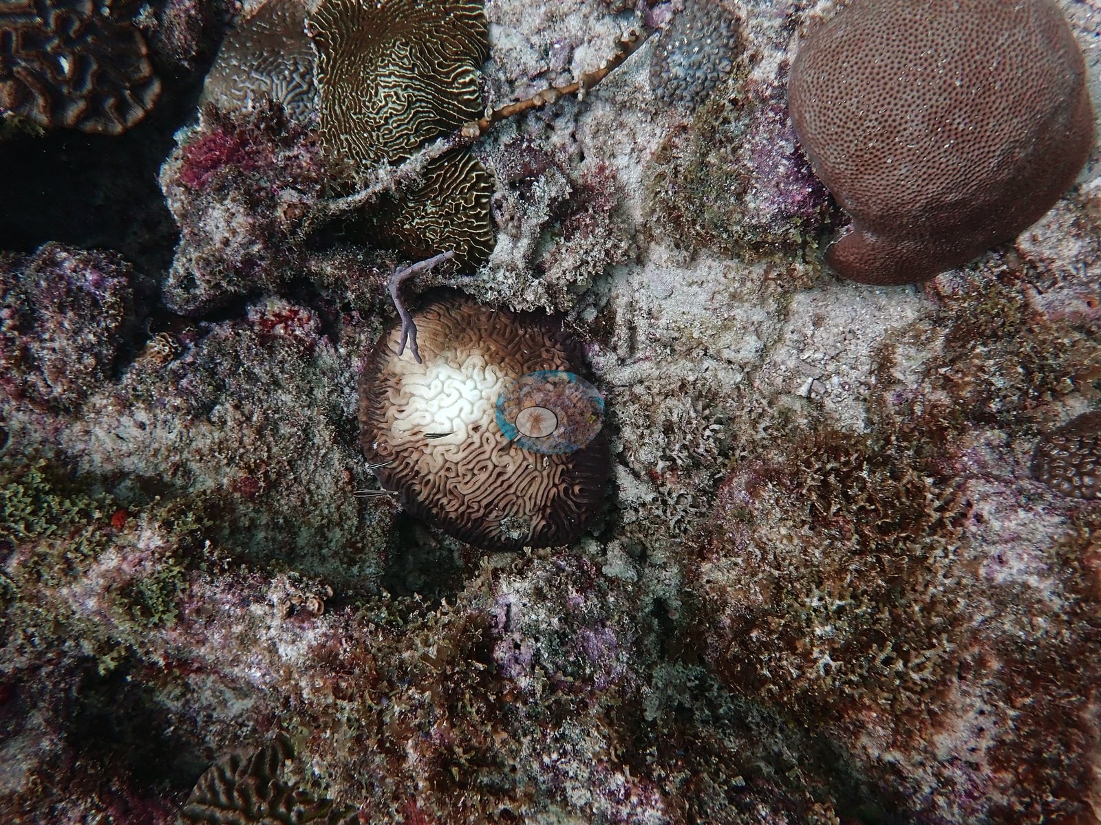
The condition signal is consistent rather than anecdotal. Discrete pale or bright-white patches sit on the tops and flanks of otherwise pigmented brain and mounding colonies in a dozen frames (e.g., Image 13, Image 20, Image 25, Image 28, Image 29, Image 30, Image 35, Image 36, Image 39, Image 51, Image 53, Image 55), typically as one or a few well-defined circular-to-irregular areas with a sharp boundary and, in the more advanced cases, turf and fine algae already established inside them (e.g., Image 25, Image 30, Image 39, Image 51).
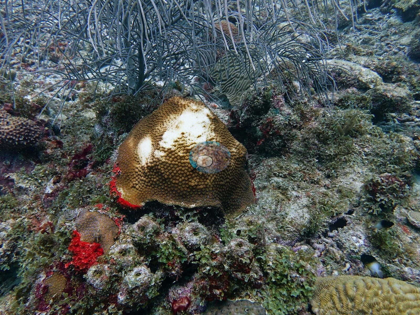
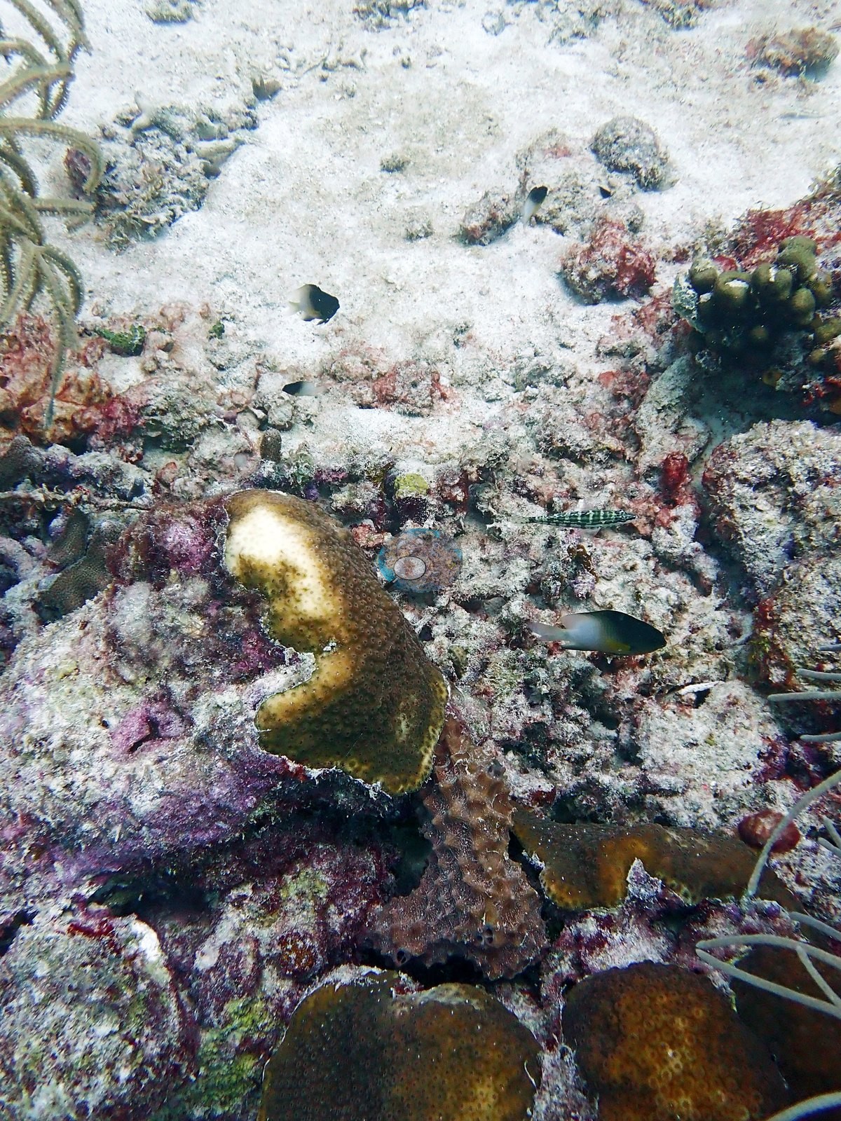
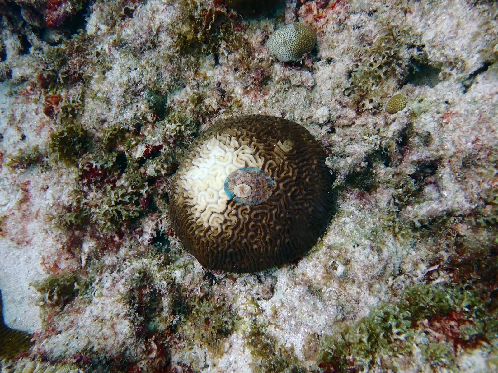
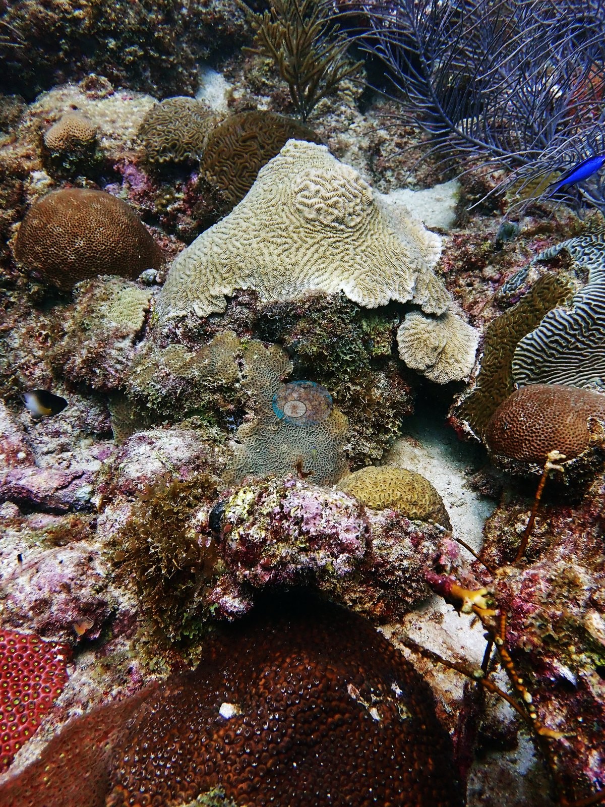
Several colonies additionally carry basal or lateral dead margins crusted over with coralline algae and turf (e.g., Image 24, Image 34, Image 53, Image 54). Much of the low ground between colonies is consolidated rubble and dead crusted pavement with only scattered survivors on it (e.g., Image 8, Image 12, Image 32, Image 43, Image 47, Image 52).
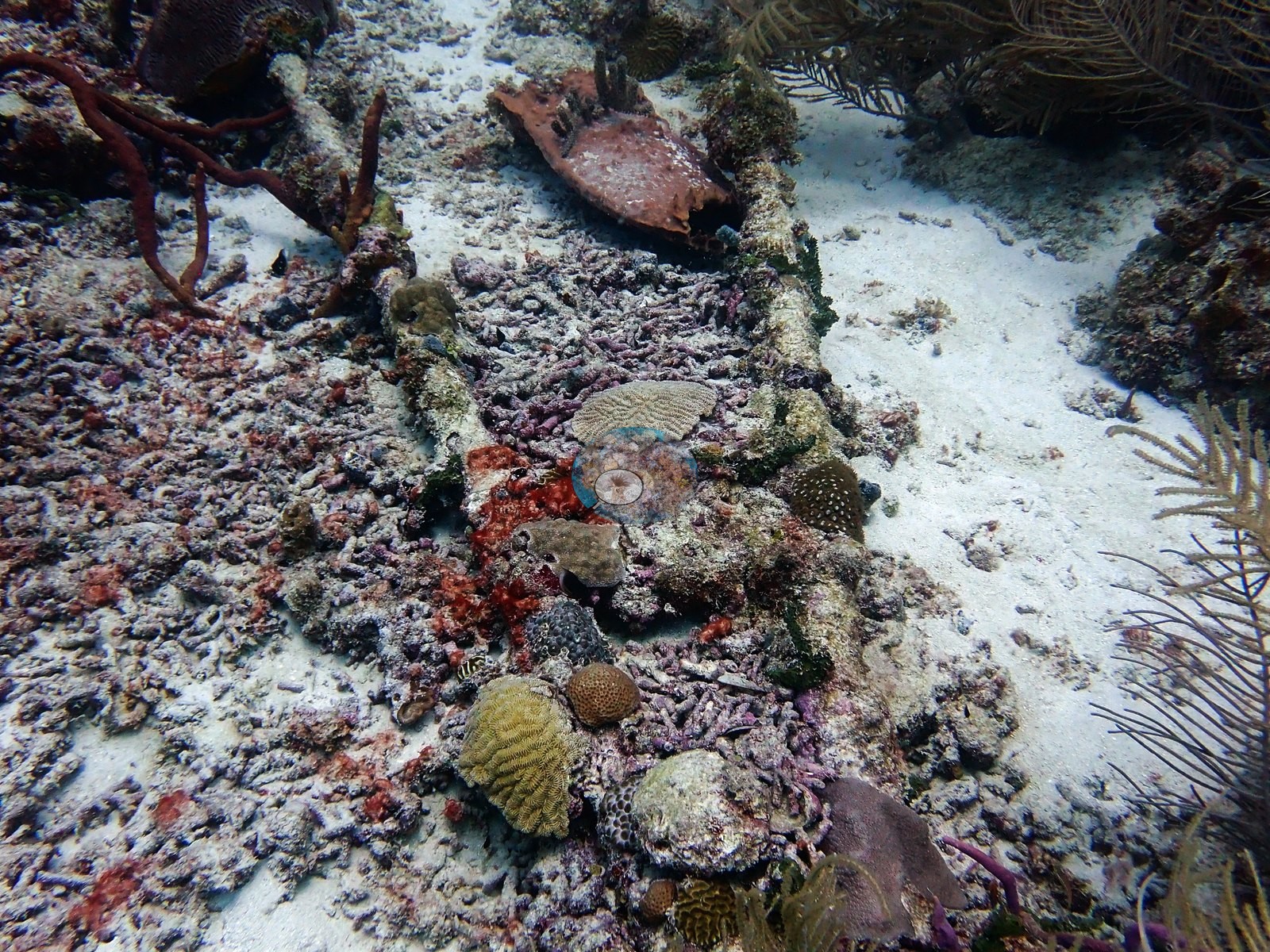
A bleaching or mortality percentage is not given here and none should be inferred; whether these patches are disease lesions, predation scars, or focal bleaching cannot be settled from photographs, and the same frames support more than one reading. On one large-polyp massive colony the patches may be focal bleaching (one frame): the polyps look present and intact in the cream-white areas (e.g., Image 30).
Fish and other fauna
Fish are present but unremarkable: blue chromis and small planktivores in mid-water over the ridge (e.g., Image 41, Image 42), blue tang and juvenile parrotfish and wrasses over the pavement.
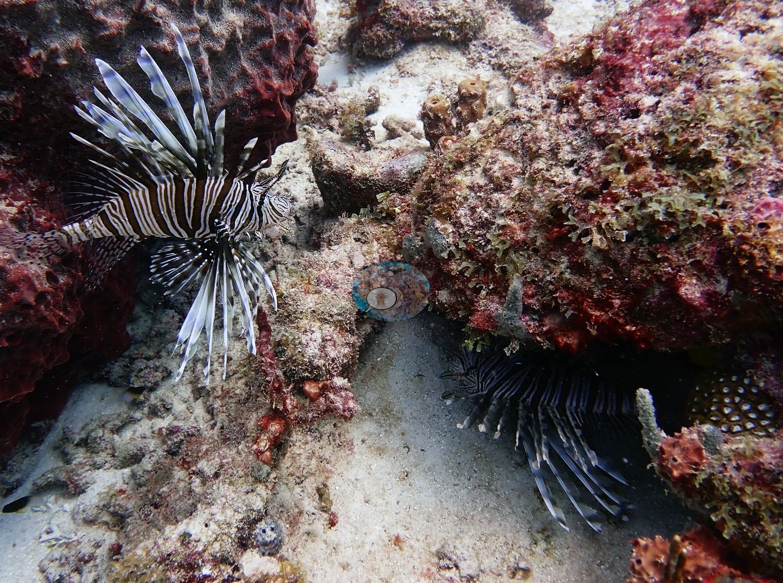
A lionfish sits in a rubble crevice with its fins fully spread (e.g., Image 61) — an invasive on this reef.
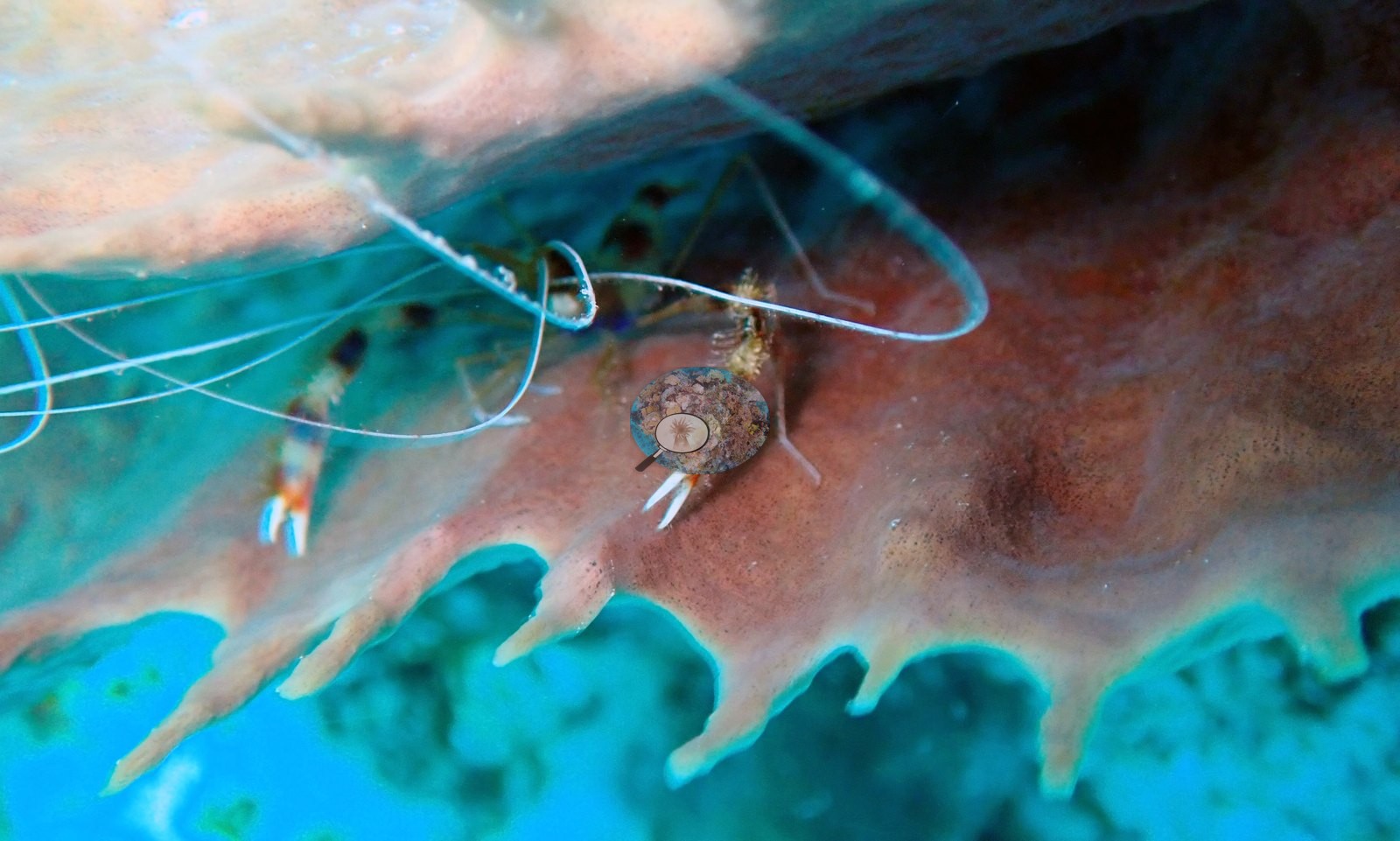
Close-focus frames round the set out: a pair of cleaner shrimp with long white antennae inside the rim of a red barrel sponge (e.g., Image 62, Image 63), and a sea-plume octocoral garden on sand (e.g., Image 10).
Comparisons with other data
We found no other surveys at this site as of 2026. Within 5 km, four Reef Check stations recorded station-year means of 16–39% hard coral cover between 2001 and 2005; the nearest, Reef Check at Maxwell, 1.18 km away, read 28% in 2002.
Other notes
This account is based on Anderson's 63 edited photographs of the dive; the dive folder holds 72 camera frames in all. A long straight rod or pipe lies across the reef in two consecutive frames (e.g., Image 37, Image 38), marine debris resting directly on living hardground.
CV model comparison
More info
A few colony-focused photos raise the mean; the median is the typical photo. No computer-vision method yet estimates coral cover accurately on new images, so treat this as indicative rather than a measurement; it is revised as the methods improve.More info
Other rows are for comparison only and are never averaged. No diver transect exists for this trip, so agreement between rows is not accuracy.| Method | Hard coral cover (%) | Photos (n) ± SE |
|---|---|---|
| CoralSCOP edited | 37.0 | n = 62 |
| Claude (edited photos) | 19.4 | n = 64 · SE 2.3 |
CoralSCOP (edited photos) reads 37.0%, 17.6 pp above Claude's blind point count (19.4%); the headline stays Claude's blind point count because no transect or manual count exists here.
See a more detailed, stand-alone version of this table.
Independent surveys nearby
 Coral Reef Diagnostics
Within 5 km, 4 independent survey stations recorded hard coral cover in 14 surveys between 2001 and 2005. Of the 3 stations surveyed in more than one year, 2 declined (by 12–22 points) and 1 increased (by 3.0 points) between their first and latest surveys. Two stations share the longest span (2001–2005); one, Oistins (Reef Check, 3.37 km away), went from 24% in 2001 to 27% in 2005. The most recent nearby survey is from 2005, so these values predate recent heat stress. This site's own estimate (19%) sits within the range of these station-year means up to 2 km away (16–30%); the methods differ, so the comparison is context, not a like-for-like test.
Collected by other programs using different methods (Reef Check uses point-intercept transects), so these are context for the figures above, not a like-for-like comparison. Where a station was surveyed more than once, the cell shows either the range of its values or, as a single value, the mean of surveys made in one year. Station names are not dive-site names.
| Agency | Site / location | Date | Hard coral cover (%) | Distance |
|---|---|---|---|---|
| Reef Check | Oistins | 2001–2005 | 24–32% (5 surveys) | 3.37 km |
| Reef Check | Coconut Court Hotel/Asta | 2001–2005 | 16–39% (range of yearly means; 5 surveys) | 3.67 km |
| Reef Check | Maxwell | 2002 | 28% | 1.18 km |
| Reef Check | Bougenvillea | 2003–2005 | 16–30% (3 surveys) | 1.54 km |
Data & links
All images from Coral Reef Diagnostics. Data are from Coral Reef Diagnostics and the organizations named in the data sources above.
© Coral Reef Diagnostics.